The best road cycling routes around Villamayor
4.5
(37)
3,418
riders
116
rides
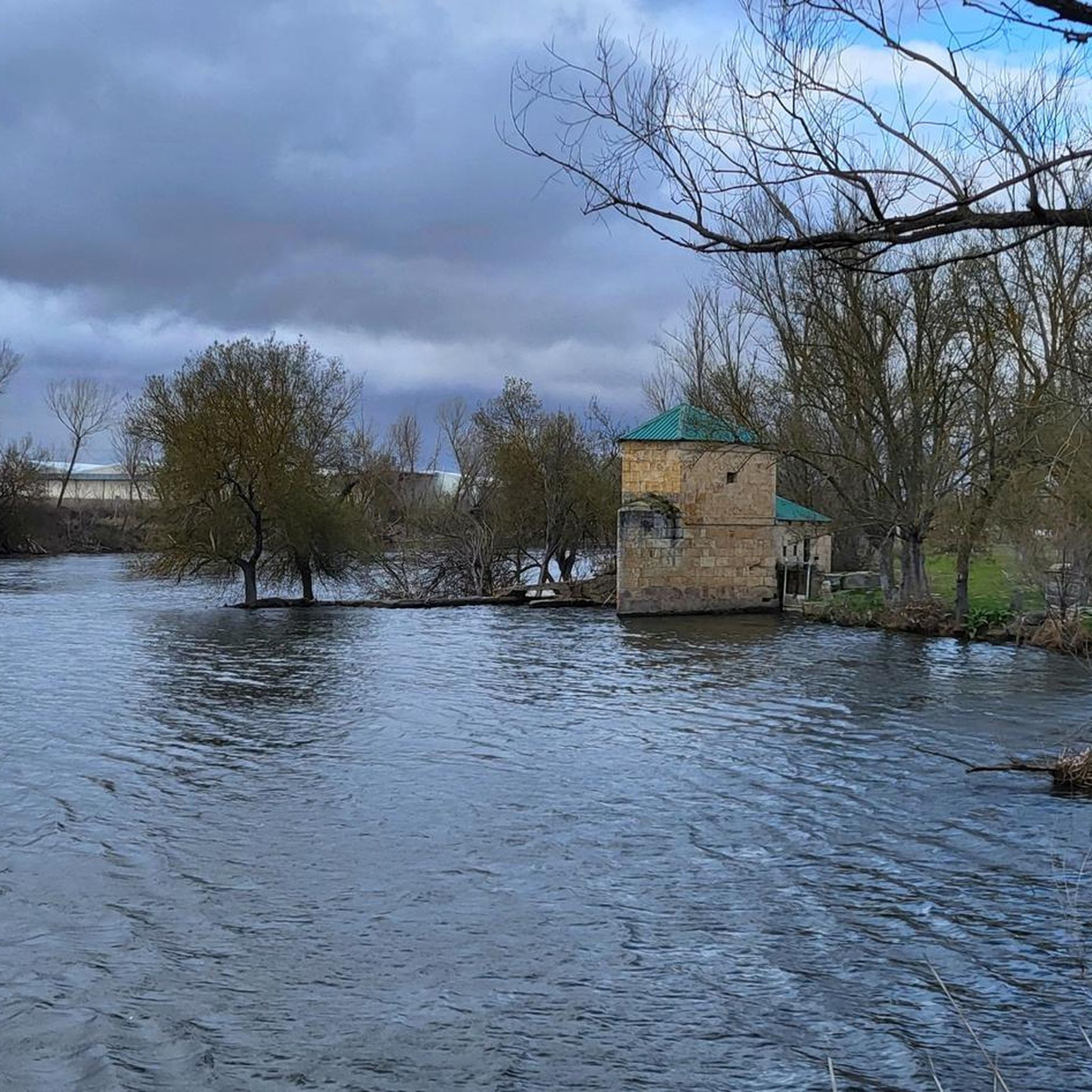
Road cycling around Villamayor, a municipality in Salamanca, offers diverse terrain for cyclists. The region is characterized by expansive agricultural landscapes, including the La Armuña area, providing open views and tranquil environments. Natural trails along the Tormes River offer riverside paths, while the "Villamayor Stone" countryside contributes a distinctive visual character with rural roads and open fields. The area's elevation, ranging from approximately 781 to 786 meters above sea level, indicates varied terrain suitable for different cycling abilities.
Best road cycling routes around Villamayor
- The most popular road cycling route is Ride around the banks of the River Tormes — circular from Villamayor, a 29.8 miles (48.0 km) trail that takes 1 hour 58 minutes to complete, following the scenic Tormes River.
- Another top favourite among local road cyclists is Rio Tormes y Galindo y Perahuy — circular desde Salamanca, a moderate 40.0 miles (64.4 km) path that explores varied terrain near the Tormes River.
- Local road cyclists also love the Castillo de los Duques de Alba by the Campo Charro — circular from Salamanca, a 49.8 miles (80.1 km) trail leading through the Campo Charro, often completed in about 3 hours 24 minutes.
- Road cycling around Villamayor is defined by agricultural landscapes, Tormes River trails, and the unique "Villamayor Stone" countryside. The network offers options for different ability levels, from easy riverside rides to more challenging routes with varied elevation.
- The routes in Villamayor are highly rated by the komoot community with an average score of 4.5 stars from more than 40 reviews. More than 3000 road cyclists have used komoot to explore Villamayor's varied terrain.
Last updated: July 7, 2026
4.0
(1)
24
riders
48.0km
01:59
280m
280m
Enjoy an easy 29.8-mile road cycling route around the scenic banks of the River Tormes, starting and ending in Villamayor.
18
riders
64.4km
02:41
380m
380m
This moderate 40.0-mile (64.4 km) road cycling route from Salamanca follows the Rio Tormes, offering pleasant views and well-paved surfaces.

Sign up for free
18
riders
80.1km
03:25
640m
640m
Cycle 49.8 miles through Campo Charro's cereal fields and dehesas to the historic Castillo de los Duques de Alba, starting from Salamanca.
9
riders
96.5km
03:56
560m
560m
Moderate road ride. Good fitness required. Mostly well-paved surfaces and easy to ride.
102
riders
47.4km
02:01
310m
310m
Moderate road ride. Good fitness required. Mostly well-paved surfaces and easy to ride.
Get access to more routes and recommendations from other explorers.
Sign up for free
Already have an account?
Our route recommendations are based on thousands of hikes, rides, and runs completed by other people on komoot.
Start today with a free account
Your next adventure awaits.
Login or Signup
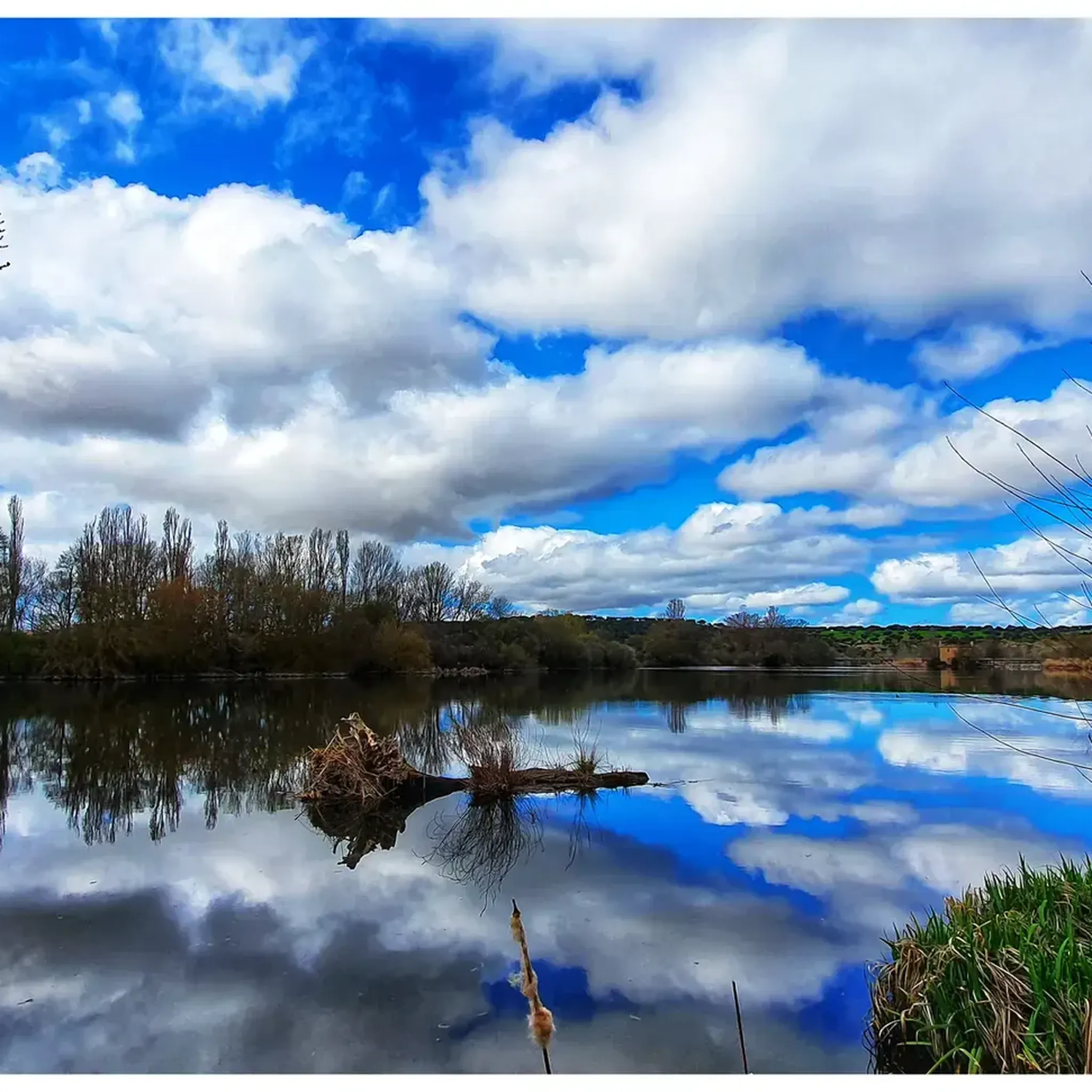
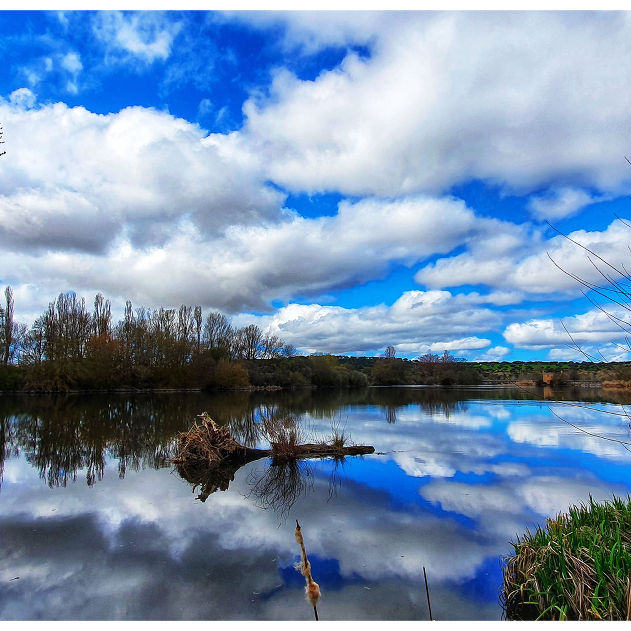
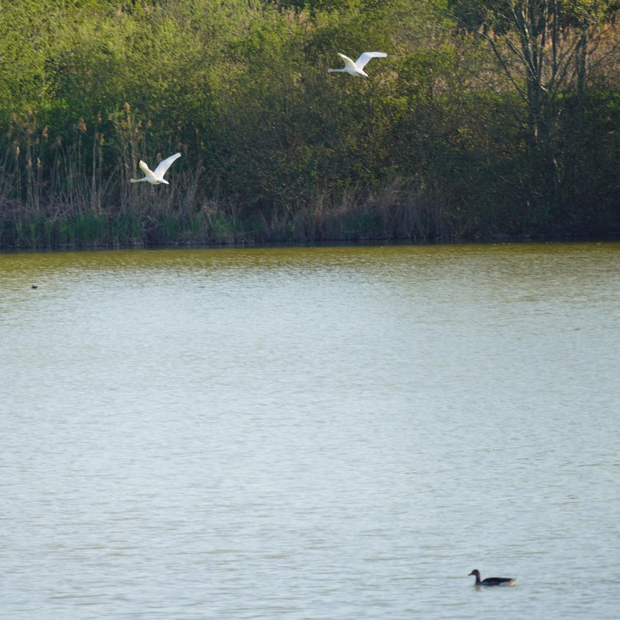
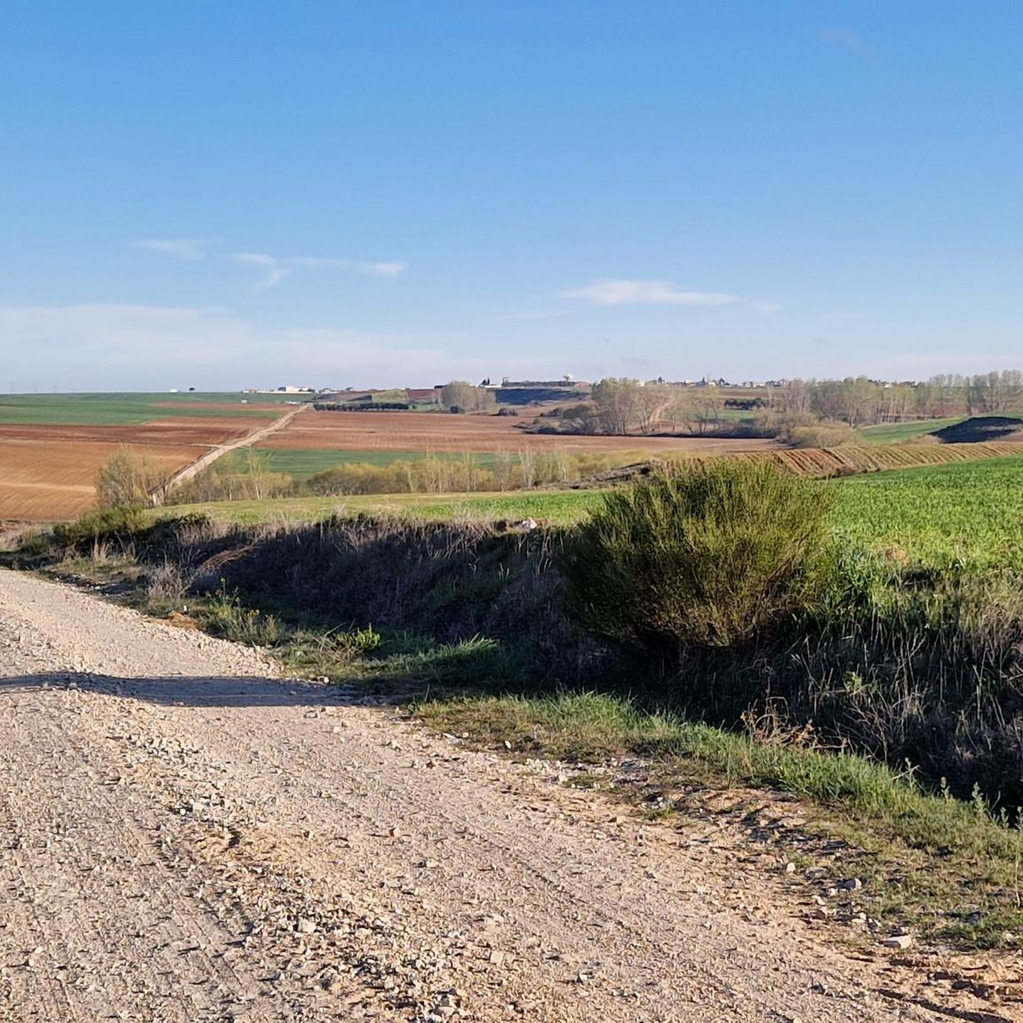
Tips from the Community

The history of Salamanca's Roman bridge is intertwined with that of the city itself, and it has been one of its defining features for centuries. Located in a position that facilitated human settlement and the development of economic activity, its proximity to the three hills and the Tormes River made it a strategic location. It is a solid bridge, resistant to the passage of time. For centuries it served as the main access point to the city, until a new bridge was completed over the Tormes River in 1913, allowing the passage of vehicles.
10
0
The Tormes is a river, a tributary of the Duero on its left bank, which runs through the provinces of Ávila, Salamanca and Zamora, in the autonomous community of Castilla y León,
3
0
The Roman Bridge of Salamanca, also known as Puente Mayor del Tormes, is an ancient bridge that crosses the Tormes River in the city of Salamanca, Spain. This bridge has a rich history and is a testament to Roman and medieval architecture.
22
0

Galindo y Perahuy conserves its Parish Church of Santo Tomás Apóstol in a good state of conservation: It is a construction that dates from the year 1835. Inside we can contemplate a painting of the Most Pure Virgin and that it is said that it could have previously been in an Augustinian convent in the town of Miranda de Pericalvo.
0
1
El Pino de Tormes is located in the northeast of the province of Salamanca, 20 kilometers from Ledesma, with the meadow as its characteristic landscape and on the banks of the main river in the province, from which it takes its last name. In the area there are traces of human settlements from the Bronze Age
0
1
Monterrubio de la Sierra is a small municipality located near the route of the old Vía de la Plata, halfway between the capital of Salamanca and the mountains from which it takes its name, surrounded by large expanses of meadows
0
0
On the way through the town of Aldeanueva de Figueroa there are these extensive plains that are located on the lands of La Armuña and where, depending on the time of year, they are green or dry!
0
0
Pretty town to the north of the city of Salamanca with a characteristic flat landscape, typical of the region of La Armuña. In the northern part of the municipality, specifically on the Valdemoros mountain, there is a forest of pines and holm oaks, closer to the region of Las Guareñas.
0
0
Frequently Asked Questions
How many road cycling routes are available around Villamayor?
There are over 120 road cycling routes around Villamayor, offering a wide variety of options for different skill levels and preferences.
What kind of terrain can I expect on road cycling routes near Villamayor?
The region around Villamayor features diverse terrain. You'll find expansive agricultural landscapes, particularly in La Armuña, offering open views. Routes also follow natural trails along the Tormes River, providing riverside paths. The unique 'Villamayor Stone' countryside adds a distinctive visual character with rural roads and open fields. The elevation ranges from approximately 781 to 786 meters above sea level, indicating varied terrain with gentle inclines and descents.
Are there road cycling routes suitable for beginners or those looking for an easier ride?
Yes, Villamayor offers routes suitable for all abilities. There are 27 easy road cycling routes available. An example is the Ride around the banks of the River Tormes — circular from Villamayor, which is an easy 29.8-mile (48.0 km) trail.
What are some scenic natural features I might encounter on a road cycling route?
You can expect to cycle through picturesque agricultural lands, known for their cultivation, including some of Spain's best lentils. Many routes also follow the Tormes River, offering refreshing riverside paths. The distinctive 'Villamayor Stone' countryside provides a unique backdrop with its golden-hued architecture and rural roads.
Are there any interesting landmarks or points of interest along the road cycling routes?
While cycling, you'll be close to the historic city of Salamanca. Notable landmarks nearby include the iconic Plaza Mayor of Salamanca, the grand Salamanca Cathedral, and the historic Roman Bridge of Salamanca. These offer great opportunities for a stop and exploration.
What do other road cyclists enjoy most about cycling in Villamayor?
The area is highly rated by the komoot community, with an average score of 4.5 stars from over 40 reviews. Cyclists often praise the varied terrain, from tranquil agricultural landscapes to scenic riverside paths, and the overall suitability for different ability levels.
Are there any long-distance road cycling routes available?
Yes, there are several longer routes for those seeking a challenge. For instance, the From Salamanca to La Armuña landscapes - circular via Parada de Rubiales is a moderate 59.9-mile (96.5 km) route, and the Roman Bridge of Salamanca – Climb to Frades de la Sierra loop from Tejares - Chamberí covers 49.3 miles (79.3 km).
Can I find circular road cycling routes around Villamayor?
Yes, many of the road cycling routes around Villamayor are circular, making them convenient for starting and ending in the same location. Examples include the popular Rio Tormes y Galindo y Perahuy — circular desde Salamanca and the Castillo de los Duques de Alba by the Campo Charro — circular from Salamanca.
What is the best season for road cycling in Villamayor?
While specific weather data isn't provided, the region's climate in Castile and León generally offers pleasant conditions for cycling during spring and autumn. Summers can be hot, and winters might be cooler, so checking local forecasts before your ride is always recommended.
Are there options for more challenging road cycling routes with significant elevation gain?
Yes, for cyclists seeking more elevation, routes like the Roman Bridge of Salamanca – Climb to Frades de la Sierra loop from Tejares - Chamberí offer a substantial climb of approximately 759 meters. There are 16 difficult routes in total for experienced riders.
Is Villamayor well-connected by public transport for cyclists?
Villamayor is located just 4 kilometers from the historic city of Salamanca, which is a major transport hub. While specific details on bike transport on public services are not provided, accessing Villamayor from Salamanca is generally straightforward, and you may find local bus services or taxi options that can accommodate bikes.
Are there any cafes or places to stop for refreshments along the routes?
Given Villamayor's proximity to Salamanca and its agricultural setting, you'll likely find opportunities for cafe stops in towns and villages along the routes. Exploring the local villages will often reveal charming spots to refuel.
Most popular routes around Villamayor
Most popular attractions around Villamayor

Get inspired with the komoot mobile app


Explore more
Browse the best Road cycling routes in other regions.
