The best walks and hikes around Sotalbo
4.6
(9)
151
hikers
20
hikes
Hiking around Sotalbo offers diverse natural landscapes within the province of Ávila, Spain. The area is situated at 1,158 meters in the Valle Amblés, featuring the Sierra de los Baldíos and a significant portion of the Sierra de la Paramera. Hikers can explore varied terrain, from the flatlands of the River Picuezo valley to mountainous foothills, including wooded hills and constant rock outcrops. Notable features include Pico Zapatero, a peak over 2,100 meters, and the Dehesa de los Baldíos de…
Last updated: July 1, 2026
9
hikers
20.0km
06:32
920m
920m
Hard hike. Very good fitness required. Easily-accessible paths. Suitable for all skill levels.
Hard hike. Very good fitness required. Mostly accessible paths. Sure-footedness required.

Sign up for free
5.0
(2)
34
hikers
8.55km
03:15
580m
580m
Moderate hike. Good fitness required. Easily-accessible paths. Suitable for all skill levels.
16
hikers
17.6km
06:03
940m
940m
Hard hike. Very good fitness required. Easily-accessible paths. Suitable for all skill levels.
10
hikers
3.18km
01:11
210m
210m
Easy hike. Great for any fitness level. Easily-accessible paths. Suitable for all skill levels.
Get access to more routes and recommendations from other explorers.
Sign up for free
Already have an account?
Our route recommendations are based on thousands of hikes, rides, and runs completed by other people on komoot.
Start today with a free account
Your next adventure awaits.
Login or Signup
Tips from the Community

Manqueospese Castle, also known as "Althoughospese," is located in the municipality of Mironcillo, Ávila, at an altitude of 1,360 meters, overlooking the Amblés Valley. This castle is an example of a European mountain fortress, with strong walls adapted to the rocky terrain. Construction of the castle began in the 15th century by the Dávila family and was completed by Esteban Dávila in the 16th century. The castle is surrounded by legends, including stories of unrequited love and rivalries between knights. Its name, "Manqueospese," is said to come from the expression "although it weighs on you," which is related to these legends. From its privileged position, the castle offers stunning views of the Amblés Valley and the walls of Ávila. Although it is currently in ruins, restoration and cleaning work are underway.
5
0

According to legend, the castle would be built by Don Raimundo, to communicate with his beloved Doña Guiomar, locked in the balcony that crowns the door of the Rastro (in Ávila, access through the Dávila house), given the prohibition of her father. for the couple to continue their love affairs. Given the paternal attitude, Don Raimundo exclaimed: "I'll see her manqueospese" or "I'll see her even though she weighs", and it was then that he built his castle, from which he apparently communicated with his beloved Guiomar.
1
0

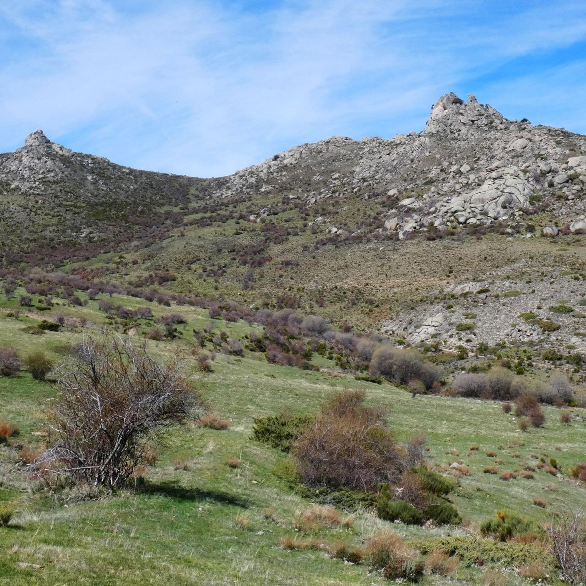
The Collado de la Honda is the final part of an old glacier that ends at this point. The glacier is the result of ancient times when the glacial movements were more southern and this is an example of how in this area of the middle of the Meseta there were.
1
0
The Serrota is a mountain that reaches 2,292 meters in height, which means that you need to watch the time of its ascent, where the snow covers the area completely with low temperatures.
1
0
Impressive castle that is located close to the town of Sotalbo and that has a scene worthy of a movie. The walls and towers create a beautiful image on a hill!
1
0
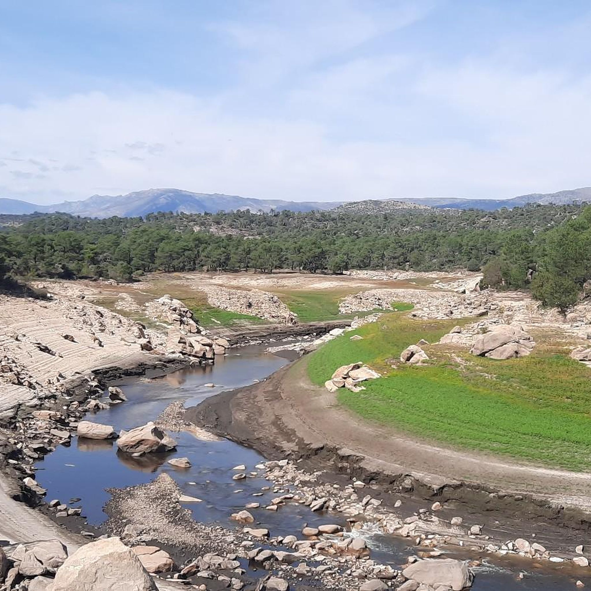
The Río de la Garaganta descends through this valley that has formed over the years and that lets us see how the Sierra de Panamera peaks rise behind us.
1
0
Old castle that is located on the hill that bears the same name as the mountain and that represents an old castle where the remains of it can still be found today.
1
0

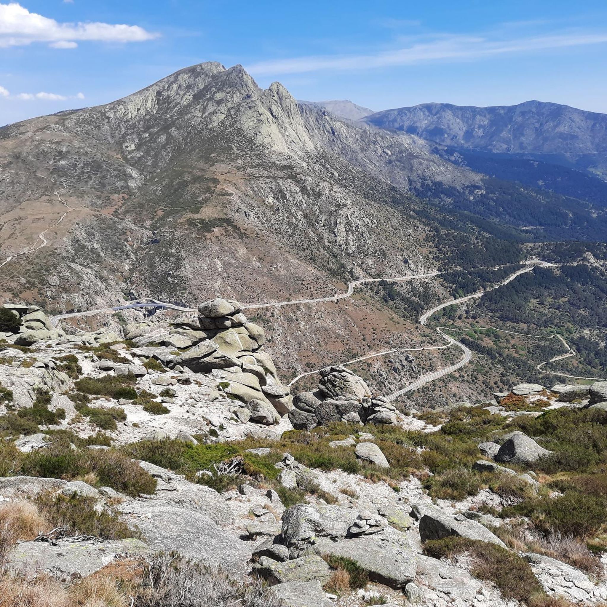
In the final stretch of the ascent, milestones appear in several places and the best option is to find the optimal path according to the moment, the mountain conditions and personal taste. The geodesic vertex is visible long before you arrive, it is placed on a tower of rocks and the views are extraordinary, practically covering the entire Central System, from the Sierra de Guadarrama to the peaks of Las Batuecas and the distant Sierra de Gata. Below the channels that form the sources of Corneja and Adaja and a little further on is the valley of the highest Alberche, when it is not yet a river in the páramos of San Martín de la Vega del Alberche.
0
0
Frequently Asked Questions
How many hiking trails are available around Sotalbo?
There are over 20 hiking routes documented around Sotalbo, offering a wide range of experiences from easy strolls to challenging mountain ascents. The komoot community has explored these trails over 140 times.
Are there easy hiking trails suitable for beginners or families in Sotalbo?
Yes, Sotalbo offers 7 easy hiking routes. These trails often traverse the flatter plains of the Valle Amblés and along the River Picuezo, providing gentle terrain suitable for a relaxed outing. While specific family-friendly routes aren't detailed, these easier options are generally suitable.
What are some challenging hikes for experienced trekkers in Sotalbo?
For experienced hikers, Sotalbo provides 4 difficult routes, often leading to higher peaks. One such challenging option is the Ascent to La Serrota — circular from Cepeda de la Mora, which features significant elevation gain over 20 km. Another demanding trail is the Castillo de Manqueospese by the Sierra de los Baldíos — circular from Villaviciosa, a 27.8 km route through mountainous terrain.
Are there any circular hiking routes in Sotalbo?
Yes, many routes around Sotalbo are circular, allowing you to start and end at the same point. A popular example is the Pico Zapatero Circular Trail, which offers panoramic views from the summit.
What kind of views can I expect on Sotalbo's hiking trails?
Sotalbo's diverse landscape offers varied views. Trails ascending to peaks like Pico Zapatero provide extensive panoramic vistas of the Valle Amblés and the surrounding Sierra de la Paramera. Lower trails along the River Picuezo offer scenic views of riparian vegetation, meadows, and wooded hills.
What natural landmarks or attractions can I see while hiking in Sotalbo?
The region is rich in natural landmarks. You can encounter prominent peaks like Pico Zapatero and Serrota, which are part of the Sierra de la Paramera. There are also several mountain passes such as Portacho del Cuchillo and Alto Cuesta del Chicho, offering unique perspectives of the rugged landscape.
Is Sotalbo a good destination for dog-friendly hiking?
While specific regulations for dogs on trails are not provided, the natural and varied terrain of Sotalbo, with its extensive mountain ranges, forests, and open pastures, generally offers many opportunities for hiking with dogs. It's always advisable to keep dogs under control and check local signage for any specific restrictions.
What is the best time of year to go hiking in Sotalbo?
The diverse terrain of Sotalbo, ranging from river valleys to high peaks, means hiking is possible for much of the year. Spring and autumn generally offer the most pleasant temperatures for exploring both lower and higher elevations. Summer can be warm, especially in the valleys, while winter may bring snow to the higher mountain ranges like the Sierra de la Paramera, making some routes more challenging.
Are there any routes that explore the Sierra de los Baldíos?
Yes, the Sierra de los Baldíos is a significant feature of the Sotalbo landscape. The Castillo de Manqueospese by the Sierra de los Baldíos — circular from Villaviciosa route specifically takes you through this mountain range, offering a deep dive into its unique ecosystem.
What do other hikers say about the trails in Sotalbo?
The hiking trails in Sotalbo are highly regarded by the komoot community, with an average rating of 4.5 stars from over 8 reviews. Hikers often praise the diverse landscapes, from the river valleys to the challenging mountain ascents, and the rewarding panoramic views from peaks like Pico Zapatero.
Is public transport available to access hiking trails in Sotalbo?
Sotalbo is situated in the Valle Amblés, and while specific public transport links to trailheads are not detailed, the municipality itself is accessible. For most hiking routes, especially those starting in more remote mountain areas, personal transport is generally recommended for convenience. It's advisable to check local bus schedules if relying on public transport.
Are there parking facilities near the trailheads in Sotalbo?
While specific parking information for every trailhead is not provided, Sotalbo and its surrounding villages typically offer parking options, especially in the vicinity of popular starting points for hikes. For routes venturing into more remote areas, roadside parking might be available, but it's always best to plan ahead and respect local regulations.
Most popular attractions around Sotalbo

Get inspired with the komoot mobile app


Explore more
Browse the best Hikes in other regions.
