Top 8 Lakes around Solana De Ávila
Best lakes around Solana De Ávila are primarily characterized by their glacial origins and diverse natural settings within the Sierra de Gredos Regional Park. This region features significant bodies of water, including the largest glacial lake in the Sierra de Gredos. The landscape offers a mix of high-mountain paths and forested areas, providing varied terrain for exploration. The area is known for its natural monuments and opportunities for outdoor activities.
Best lakes around Solana De Ávila
- The most popular lakes…
Last updated: July 1, 2026
View of the Ambroz Valley and Reservoir
Highlight (Segment) • Viewpoint
Showing Translation
Tip by

Laguna de la Nava
Highlight • Lake
Translated by Google •
Tip by

Sign up now to discover places like this
Get recommendations on the best single tracks, peaks, & plenty of other exciting outdoor places.
Sign up for free
Navamuño Dam
Highlight • Lake
Translated by Google •
Tip by

Laguna del Duque
Highlight • Lake
Translated by Google •
Tip by
Cirque of Laguna del Barco
Highlight • Lake
Translated by Google •
Tip by

Sign up for free to discover even more lakes around Solana De Ávila.
Sign up for free
Already have an account?
Start today with a free account
Your next adventure awaits.
Login or Signup

Tips from the Community

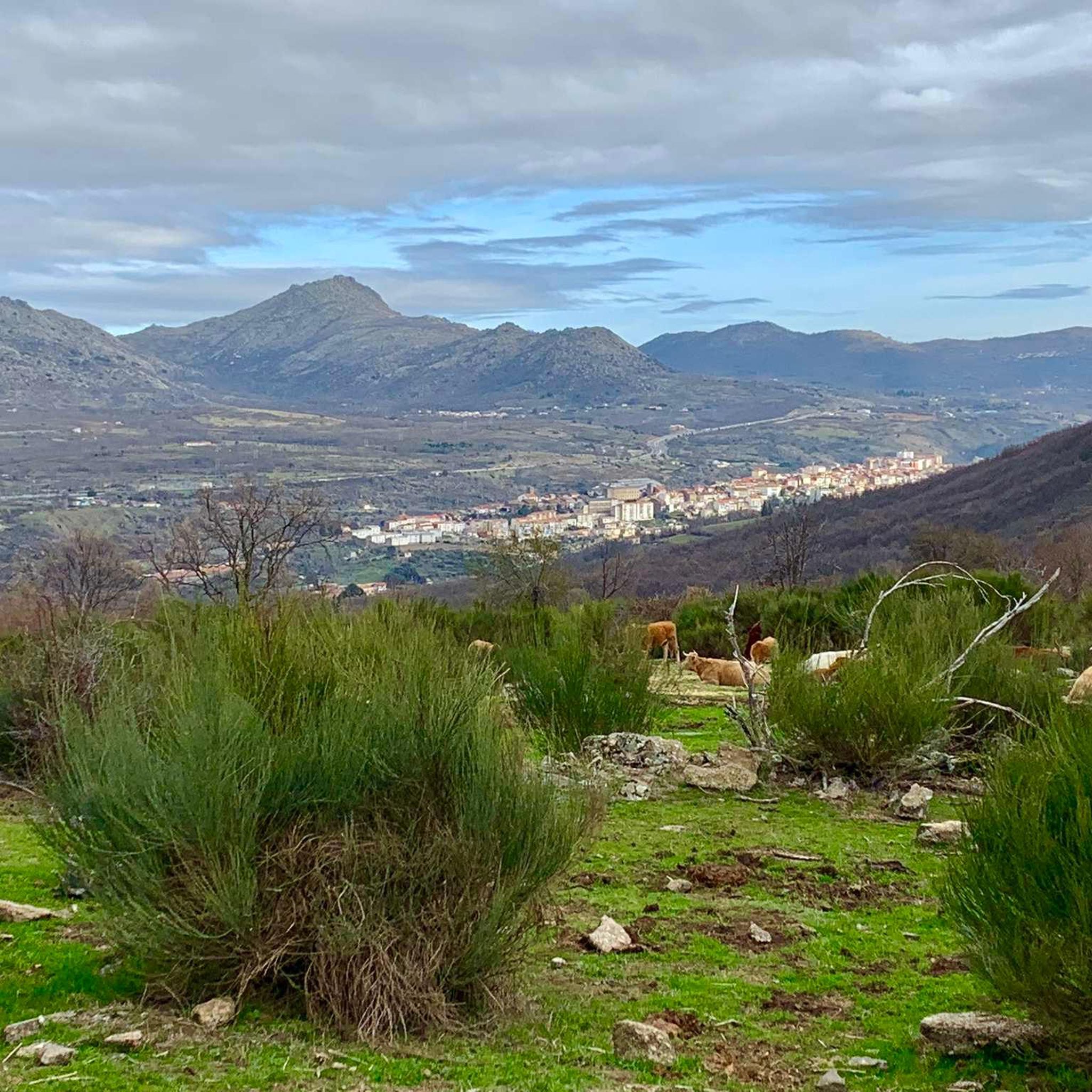
It is a natural treasure full of contrasts, with mountains over 2000 meters, lush chestnut forests, rivers, gorges and ancient trees. 80% of the area is under some form of protection.
8
0

Very good views and for all levels, it can be done as a family.
0
0

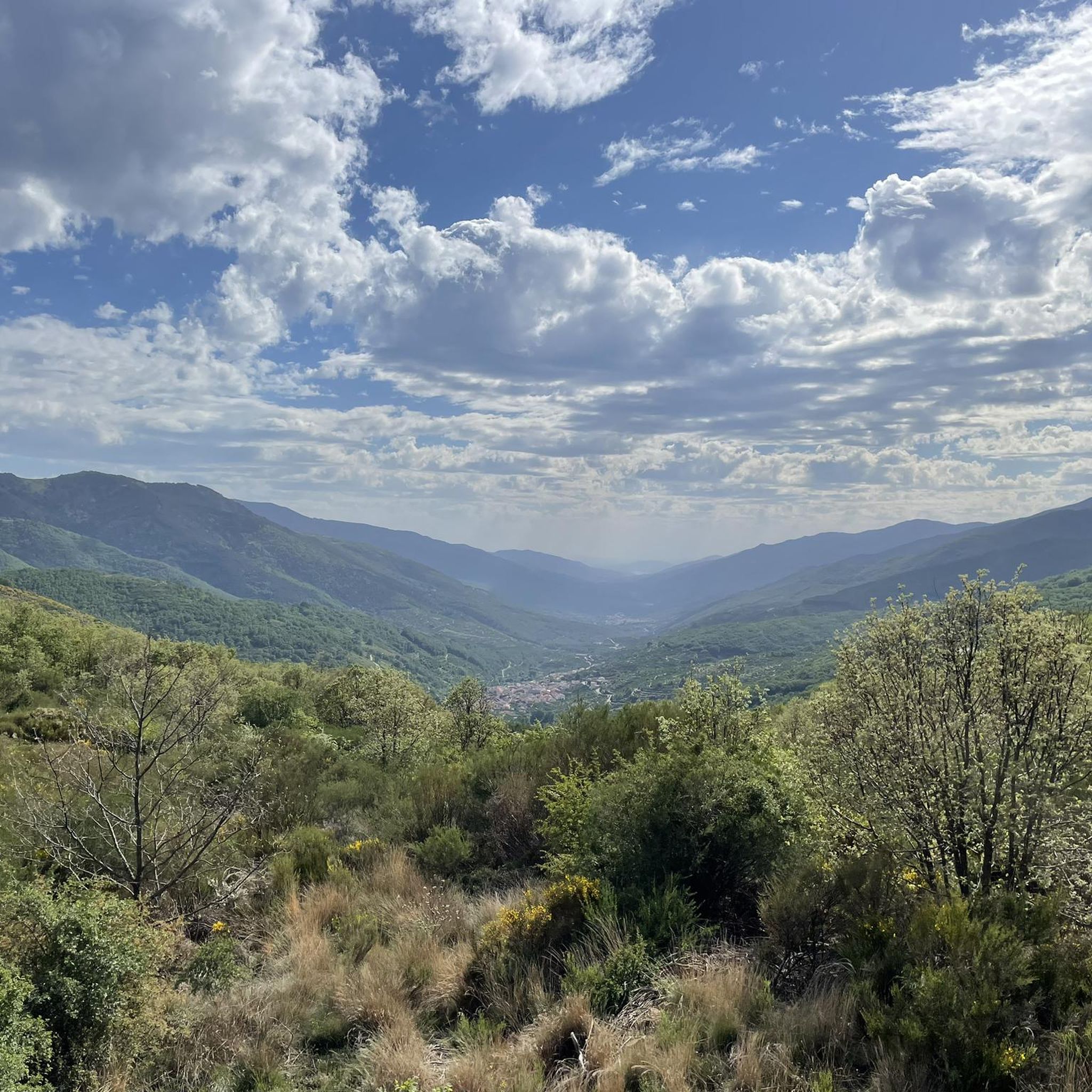
From the Vía Verde de la Plata you will have spectacular views of the Ambroz valley, Baños de Montemayor, its reservoir and Hervás.
1
0

A PLACE TO ENJOY ACCOMPANIED OR ALONE. THE ROUTE IS VERY COOL, WITH VARIOUS SOURCES
2
0

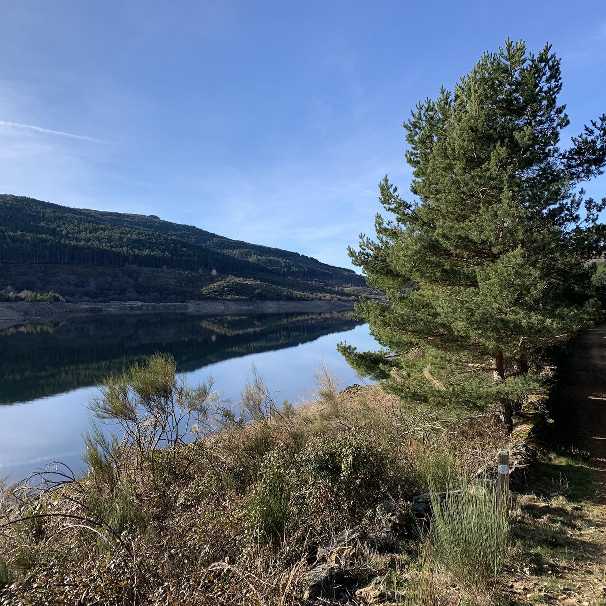
The view over the lake is magnificent.
1
0

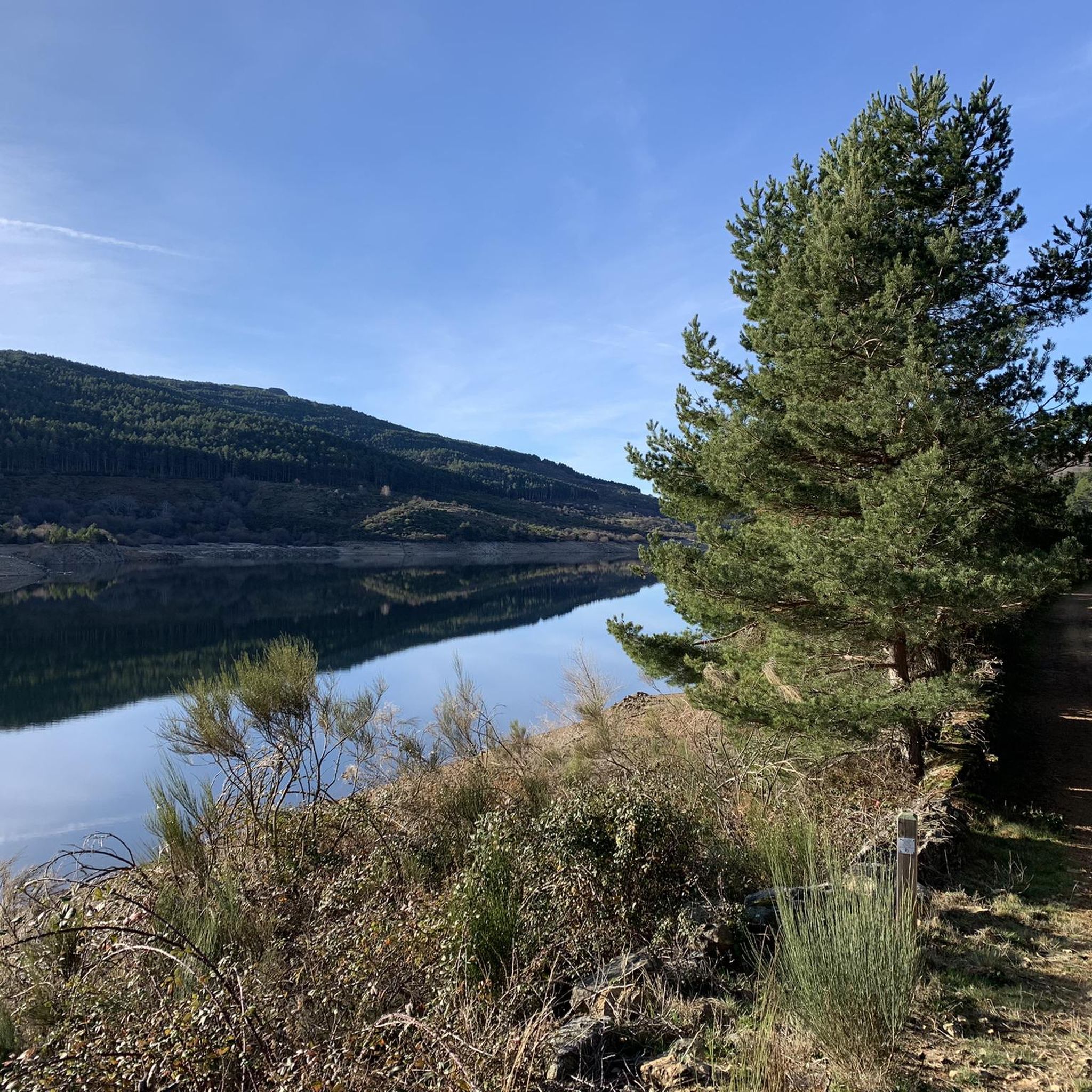
One of the many jewels offered by the Sierra de Candelario, the Navamuño Reservoir combines perfectly with the landscape that surrounds it.
1
0
The views from the dam towards the reservoir are postcard. On clear days you can fully appreciate this wonderful landscape that is worth visiting!
1
1

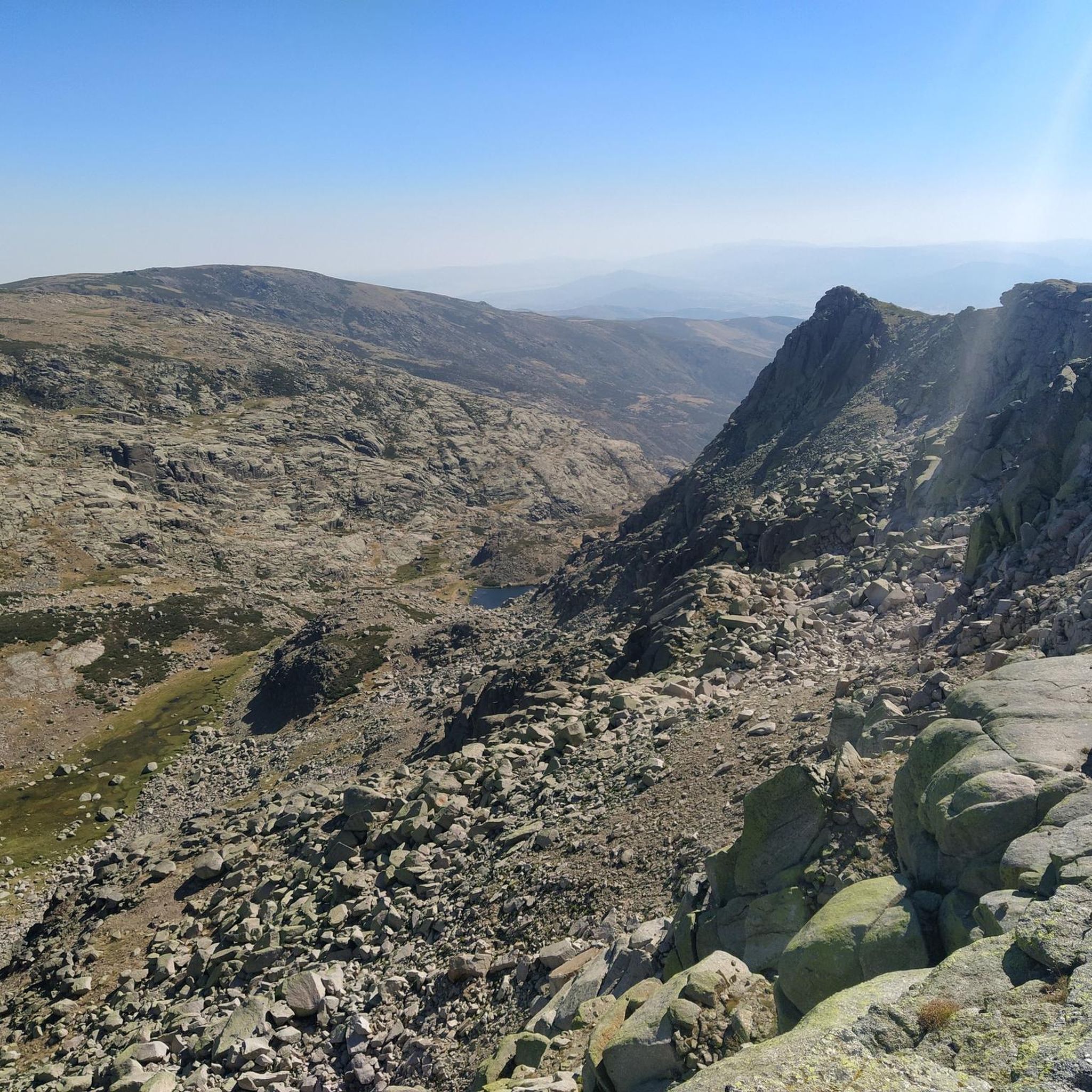
The descent to the Barco lagoon follows a rough and delicate terrain through the Cuadrada lagoon to the shore of the great mountain lake where the Galín Gómez gorge begins. On the wall of the lagoon there is a mountain refuge and the short-distance path PR-AV 36 begins, which descends to the right of the glacial basin. The layout of the path improves immediately, especially when it reaches the terrain of the mountain pastures. At the Chozo de Anselmo de Las Escaleruelas you have to leave the short-distance trail, which follows the main lane to the left, and continue straight down towards the valley basin along a hillside complicated by vegetation. The path first passes over two ditches and a couple of bridges and then crosses the main stream of the valley, descending from the high peaks along the right bank of the gorge. The layout is imprecise at first and sometimes they get lost in the grassy fields.
0
0
Frequently Asked Questions
What are the most notable lakes around Solana de Ávila?
The most notable lake is Laguna del Duque, which is the largest glacial lake in the Sierra de Gredos Regional Park. Other significant lakes include Laguna de la Nava, a stunning glacial lake at 1972 meters above sea level, and the man-made Navamuño Dam, known for its picturesque views in the Sierra de Candelario.
Are there family-friendly lakes or trails near Solana de Ávila?
Yes, Navamuño Dam is considered family-friendly, offering beautiful views. The high-mountain path to Laguna del Duque (P.R-AV 41) is also accessible to most, including families with children, involving a 5.1-kilometer hike through diverse forests.
What kind of natural features can I expect to see at these lakes?
The lakes around Solana de Ávila are primarily of glacial origin, offering stunning natural beauty. You'll find clear waters reflecting surrounding peaks, high-mountain landscapes, and diverse forests of birch, ash, hawthorn, oak, and pine trees. The area is within the Sierra de Gredos Regional Park, known for its natural monuments.
What is the best time to visit the lakes around Solana de Ávila?
Spring is a particularly spectacular time to visit, especially for the hike to Laguna del Duque, as the forests are in full bloom. Generally, warmer months are ideal for outdoor activities and enjoying the natural pools further afield.
Are there opportunities for hiking near the lakes?
Absolutely. The region offers numerous hiking opportunities. The route to Laguna de la Nava is one of the most popular in the Central System. For Laguna del Duque, the P.R-AV 41 path is a well-known option, and more challenging paths following water conduits offer views of waterfalls. You can find more hiking options in the Running Trails around Solana De Ávila guide.
What other outdoor activities can I do near these lakes?
Beyond hiking, Laguna del Duque is an excellent spot for rock climbing, with over 300 equipped routes. For cycling enthusiasts, there are various routes available, including Road Cycling Routes and Gravel Biking routes around Solana De Ávila.
Is there any historical significance to the lakes in this area?
Yes, Laguna del Duque has a historical background, having been named after Duchess María Teresa who won the right to fish for trout there. It remained under the ownership of the Dukes of Béjar until 1898. The lake was also dammed in the early 20th century for a hydroelectric power station.
What is the accessibility like for Laguna del Duque?
Reaching Laguna del Duque involves a high-mountain path, P.R-AV 41, which starts from the hydroelectric power station 'El Chorro'. This trail is considered a short route, approximately 5.1 kilometers with a 252-meter elevation gain, taking about 2.5 hours. It's generally accessible to most, including families.
Are there any challenging trails for experienced hikers?
Yes, while the main path to Laguna del Duque is moderate, there are alternative, more challenging paths that follow water conduits, offering views of numerous waterfalls. The descent to the Cirque of Laguna del Barco is also described as a challenging route with rough and delicate terrain.
Can I find viewpoints with scenic vistas of the lakes?
Absolutely. Laguna de la Nava is known for its clear waters reflecting the surrounding peaks, offering beautiful views. The Navamuño Dam also provides picturesque views towards the reservoir and the Sierra de Candelario. There's also a View of the Ambroz Valley and Reservoir highlight nearby.
What do visitors enjoy most about the lakes around Solana de Ávila?
Visitors appreciate the stunning natural beauty, the glacial origins of many lakes, and the diverse landscapes within the Sierra de Gredos Regional Park. The opportunities for hiking, the picturesque views, and the peaceful atmosphere are frequently highlighted. The komoot community has shared numerous photos and upvotes for these natural attractions.
Most popular routes around Solana De Ávila
Most popular attractions around Solana De Ávila

Get inspired with the komoot mobile app


Explore more
Still not found your perfect lake around Solana De Ávila? Check out the guides of these regions to see even more beautiful places.
