The best cycling routes around Fuencaliente
32
riders
4
rides
Touring cycling around Fuencaliente offers routes through unique volcanic landscapes and diverse natural features on La Palma. The region is characterized by dramatic volcanic formations, including lava fields and dark peaks, alongside striking coastal scenery. Cyclists will encounter the iconic salt flats and lighthouses, as well as vineyards clinging to volcanic slopes and extensive forest tracks.
Best touring cycling routes around Fuencaliente
- The most popular touring cycling route is Fuencaliente and Conquista Loop, a 37.7 miles (60.6 km) trail…
Last updated: October 10, 2026
13
riders
60.6km
04:37
700m
700m
Hard bike ride. Very good fitness required. Mostly paved surfaces. Suitable for all skill levels.
8
riders
38.7km
03:31
470m
470m
Hard bike ride. Very good fitness required. Mostly paved surfaces. Suitable for all skill levels.

1
riders
51.1km
03:22
650m
660m
Hard bike ride. Very good fitness required. Mostly paved surfaces. Suitable for all skill levels.
6
riders
53.2km
04:49
520m
520m
Hard bike ride. Very good fitness required. Mostly paved surfaces. Suitable for all skill levels.
2
riders
21.0km
02:00
300m
300m
Moderate bike ride. Good fitness required. Mostly paved surfaces. Suitable for all skill levels.
Our route recommendations are based on thousands of hikes, rides, and runs completed by other people on komoot.
Start today with a free account
Your next adventure awaits.
Tips from the Community

Cardeña is a town in the north of the province of Córdoba with a population of just over 1,400 inhabitants, at an altitude of 821 meters above sea level. The municipality of this beautiful town includes the small towns of La Venta del Charco and Azuel. The population trend, as in most towns in Spain, has been declining, with a loss of almost 500 inhabitants since 1979. It's worth stopping by its bakeries selling bread and typical local pastries, as well as traditional cured meats, and of course, enjoying a few beers while enjoying its gastronomy.
0
0

Cardeña is a small but historically and naturally important municipality in the region. It is located in the northeast of the province of Córdoba and is part of the Parque Natural Sierra de Cardeña y Montoro, a protected natural area. Cardeña is an ideal place for a break by bike, good food and nature worth seeing. Perfect for a bike tour with a culinary break in picturesque surroundings! The region was sparsely populated for a long time and was strategically used as a border area between Christian and Muslim dominions in the Middle Ages. During the reign of Charles III (1759-1788), Spain encouraged the settlement of remote areas. As a result of this colonization policy, several small villages were created in the Sierra Morena, including Cardeña.
2
0
Aldea del Cerezo, a small, historic settlement in the Parque Natural Sierra de Cardeña y Montoro, offers excellent conditions for exceptional stargazing. The region is part of the Reserva Starlight Sierra Morena, which is known for its exceptionally clear night skies with little light pollution. This award guarantees optimal conditions for nighttime sky observation. The secluded location of Aldea del Cerezo, far from major cities, minimizes light pollution and allows an unobstructed view of the firmament. The surrounding landscape with its rolling hills and open spaces offers ideal vantage points for astronomy enthusiasts. In the area around Aldea del Cerezo, one can not only explore the impressive architecture and history of the settlement, but also take the opportunity to admire the clear night skies and observe the stars in an incomparable setting.
2
0

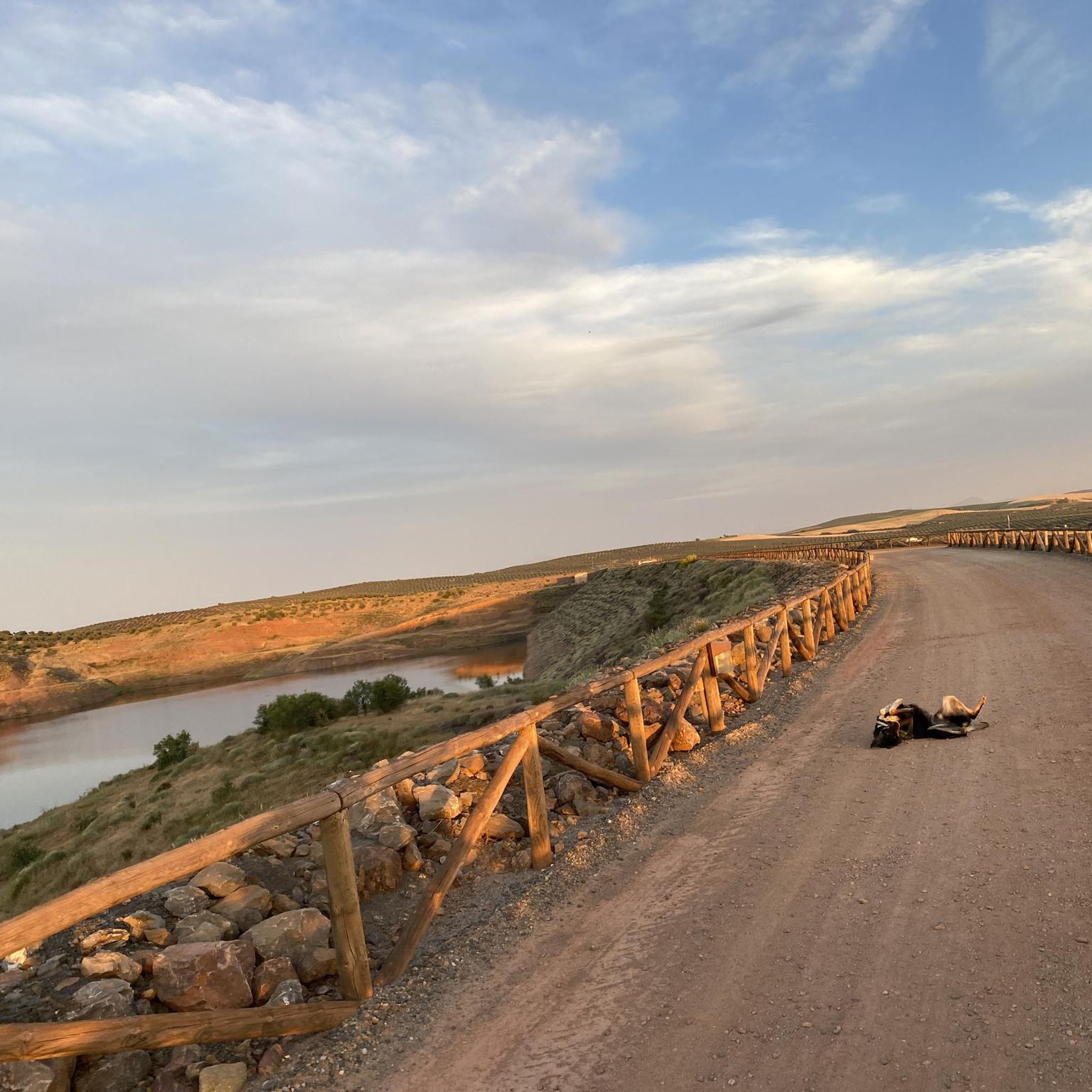
This district belongs to the municipality of Almodóvar del Campo (Ciudad Real). Between the end of the 19th century and the middle of the 20th, this population center served to house the workers of the silver mine that was 600 meters deep. At its peak, the Minas del Horcajo had 4,500 inhabitants. Today there is only a half-ruined church, remains of old facilities, and some rural and holiday houses that continue to serve. The route that connects this small town with the town of Conquista is more than interesting, the first to appear when crossing the border with Andalusia, through the province of Los Pedroches, being one of the 17 towns in the Comarca de Los Pedroches, period pass of the Al-Ballut cycling route. In the same way, this town is the protagonist of the Kilometer Zero route, on its journey from Madrid to Tarifa, connecting Castilla La Mancha with Andalusia. Along the way, you cross a private farm, but the track is totally public, and its passage is allowed as announced by the signs. It is usual that the guards of this farm want to escort you, to make sure that you do not get lost or that you do not leave the marked path. They are generally friendly. But this time I found a car with 3 women inside who tried to dissuade me from cycling on the track by saying "You shouldn't go this way, blablabla...". It is probably a slogan of those who try to put gates to the field and bother those who visit the mountain. The estate in question is owned by the Duke of Westminster, perhaps that is where the suspicion comes from. Royalty and its royal things...
2
0

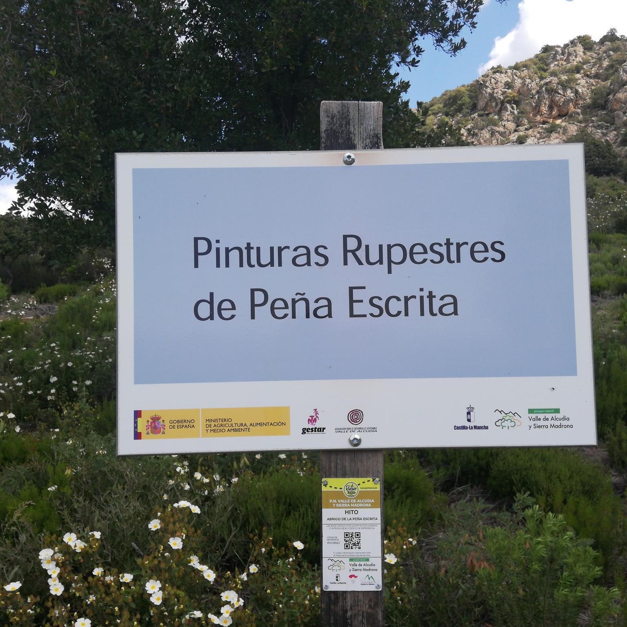
Very close to the border with Andalusia, in Sierra Morena, and within the Natural Park of Valle de Alcudia and Sierra Madrona, is the municipality of Fuencaliente. It is famous for housing the cave paintings of Peñaescrita and La Batanera, declared a National Monument. It also owes its name to the hot spring that rises below the church of the Virgin of Baños, and which in its day attracted many pilgrims called for the healing power of its waters.
5
0


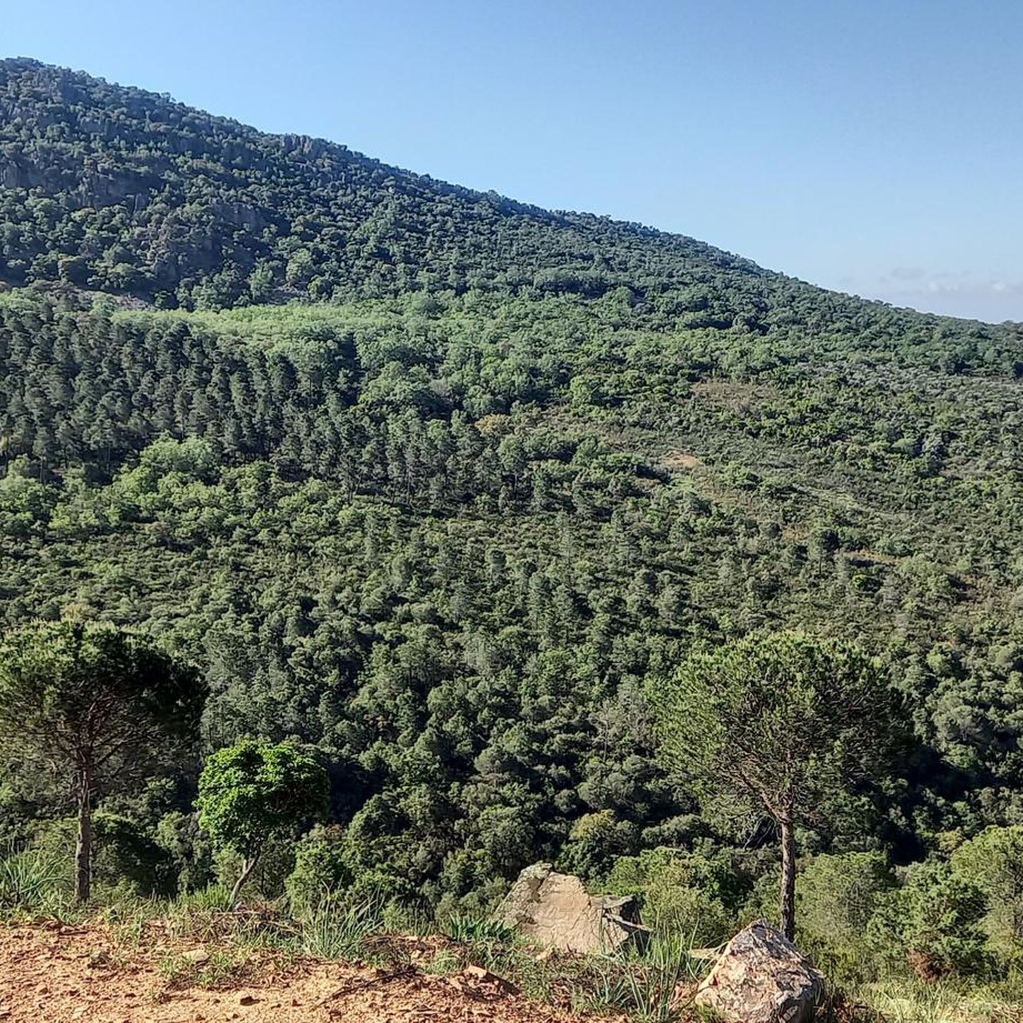
In the middle of the Cordoba mountains, here you can enjoy nature, rural tourism, the stars and gastronomy.
1
1
Frequently Asked Questions
How many touring cycling routes are available in Fuencaliente?
Komoot features 4 touring cycling routes around Fuencaliente. These routes offer diverse experiences, from challenging ascents through volcanic landscapes to scenic coastal rides.
What kind of terrain can I expect on touring cycling routes in Fuencaliente?
Fuencaliente's touring cycling routes are characterized by unique volcanic landscapes, including lava fields and dark peaks. You'll also find striking coastal scenery, vineyards clinging to volcanic slopes, and extensive forest tracks. Many routes feature mostly paved surfaces, making them suitable for touring cyclists, with continuous uphill climbs offering magnificent views.
Are there any circular touring cycling routes in Fuencaliente?
Yes, many touring cycling routes in Fuencaliente are circular, allowing you to start and end in the same location. Examples include the Fuencaliente and Conquista Loop, a challenging 37.7-mile ride, and the Conquista y Azuel — circular desde Fuencaliente, which offers panoramic views over 31.8 miles.
Are there touring cycling routes suitable for beginners or families in Fuencaliente?
While many routes in Fuencaliente are rated as difficult, there is one moderate option: the Ana Luna Recreation Area – Cardeña loop from Azuel. This 13.0-mile trail leads through forest tracks and agricultural areas, taking about 2 hours to complete, making it a more accessible choice for those seeking a less strenuous ride.
What natural landmarks or points of interest can I see while cycling in Fuencaliente?
Fuencaliente is rich in natural landmarks. You can cycle past the dramatic volcanic formations of San Antonio and Teneguía volcanoes, explore the unique Fuencaliente Salt Flats (Salinas de Fuencaliente) and their iconic lighthouses, or discover wild volcanic beaches like Playa de Echentive. The region is also known for its vineyards clinging to volcanic slopes.
Are there any waterfalls along the touring cycling routes in Fuencaliente?
Yes, the area around Fuencaliente features several waterfalls. You might encounter the Batanera Waterfall or Las Lastras, which are notable natural highlights in the region.
What are the most challenging touring cycling routes in Fuencaliente?
For experienced touring cyclists seeking a challenge, routes like the Fuencaliente and Conquista Loop (37.7 miles with 2,297 ft elevation gain) or the Dehesas de Azuel Loop (24.0 miles with 1,545 ft elevation gain) offer significant elevation and varied terrain, requiring very good fitness.
Is public transport available to access touring cycling routes in Fuencaliente?
Fuencaliente is connected by local bus services on La Palma. While specific routes to trailheads might vary, public transport can be a viable option to reach the municipality or starting points of some routes. It's advisable to check local bus schedules and bike transport policies in advance.
Where can I park my car when starting a touring cycling route in Fuencaliente?
Fuencaliente, also known as Los Canarios, offers various parking options within the town. Many routes start from or pass through the main settlement, where you can typically find public parking areas. For routes starting outside the main town, look for designated parking near popular attractions like the San Antonio Volcano Visitor Center or the Salt Flats.
What makes Fuencaliente unique for touring cyclists?
Fuencaliente stands out as a 'paradise for cycling' due to its dramatic volcanic landscapes, including the San Antonio and Teneguía volcanoes, and the iconic Fuencaliente Salt Flats with their lighthouses. The region boasts a well-developed network of cycle paths, including a newly constructed path from the coast to Fuencaliente/Los Canarios, offering continuous climbs with breathtaking views of the sea, volcanoes, and banana plantations.
What do other touring cyclists enjoy the most about touring cycling in Fuencaliente?
Over 30 touring cyclists have used komoot to explore Fuencaliente's varied terrain. They often praise the unique volcanic scenery, the striking coastal views, and the diverse landscapes that include vineyards and forest tracks. The region's dedicated cycling infrastructure and the opportunity to witness awe-inspiring natural features are frequently highlighted.
Are there dedicated cycle paths in Fuencaliente?
Yes, Fuencaliente features a very beautiful, newly constructed cycle path that leads from the coast up to Fuencaliente/Los Canarios. This path is almost completely separated from the main road, has a good surface, and offers continuous uphill climbs with magnificent views of the sea, volcanoes, and banana plantations, making it ideal for touring cyclists.
Most popular attractions around Fuencaliente

Get inspired with the komoot mobile app


Explore more
Browse the best Cycling routes in other regions.
