The best walks and hikes around Santiuste De San Juan Bautista
10
hikers
11
hikes
Hiking around Santiuste De San Juan Bautista offers exploration within a valley bordered by the Voltoya and Adaja rivers. The terrain features a blend of vast cereal fields, particularly vibrant in spring, and pine forests, characteristic of the "Tierra de Pinares" region. This combination provides varied hiking experiences, from open agricultural landscapes to tranquil wooded paths. The area's rural countryside is well-suited for outdoor activities.
Best hiking trails around Santiuste De San Juan Bautista
- The most popular hiking route is…
Last updated: May 20, 2026
Moderate hike. Good fitness required. Easily-accessible paths. Suitable for all skill levels.
5.52km
01:24
10m
10m
Easy hike. Great for any fitness level. Easily-accessible paths. Suitable for all skill levels.

Sign up for free
2
hikers
6.41km
01:38
20m
20m
Easy hike. Great for any fitness level. Easily-accessible paths. Suitable for all skill levels.
4
hikers
7.74km
01:57
10m
10m
Easy hike. Great for any fitness level. Easily-accessible paths. Suitable for all skill levels.
2
hikers
Moderate hike. Good fitness required. Easily-accessible paths. Suitable for all skill levels.
Get access to more routes and recommendations from other explorers.
Sign up for free
Already have an account?
Our route recommendations are based on thousands of hikes, rides, and runs completed by other people on komoot.
Start today with a free account
Your next adventure awaits.
Login or Signup
Popular around Santiuste De San Juan Bautista

Tips from the Community

Very interesting... especially routes in autumn and spring when it rains so that the transit through the sands of the pine forests is not so complicated.
0
1

Nava de la Asunción is a Spanish municipality and town in the province of Segovia. Originally known as Nava de Coca, it belonged to the village and land community. Later, in 1773, King Carlos III granted it the title of Villa and added “La Asunción” to its name, in honor of the Virgin, patron saint of the town. I hope you found this brief description interesting! 😊
2
0
It was built in the 15th century and is considered one of the best examples of Spanish Gothic-Mudejar. Property of the Casa De Alba, transferred to the Ministry of Agriculture of Spain since 1954.
8
0

Population located north of the capital of the province, Segovia. It is a nucleus located between the two rivers, the Río Edesma and the Río Voltoya.
1
0
Green way that runs between the towns of Nava de la Asunción and Ciruelos de Coca and that leaves us with beautiful landscapes in the rainy season, where the fields turn green.
1
0
Beautiful castle that is located in the town of Coca and that seems to be part of a movie castle.
1
0
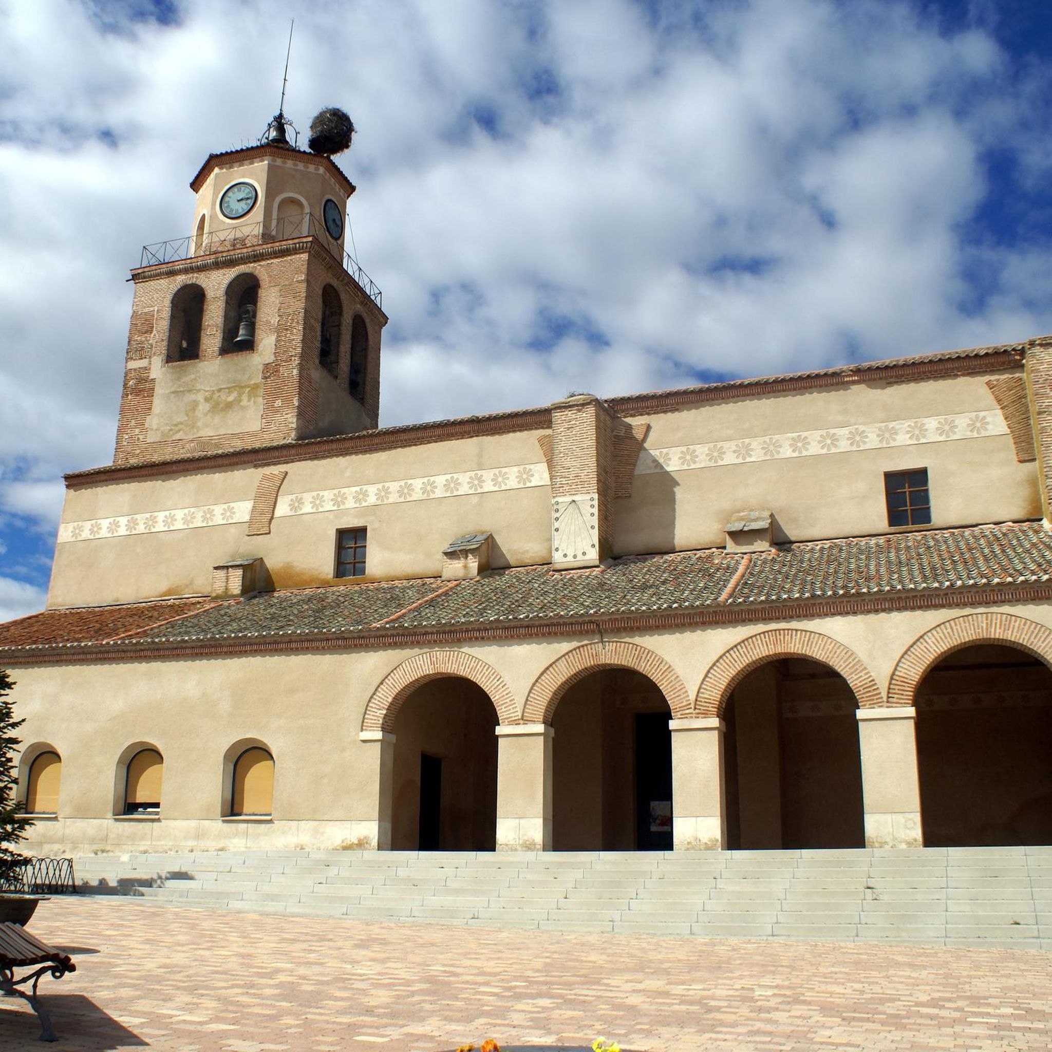
Although it is a town with a very low number of inhabitants, it has a very large history on its shoulders and the nucleus is flagged by the large fortified Church of San Pedro Apóstol, in the center.
1
0
Population that is located on the border with the province of Valladolid and which is basically a plain where there are small hills of not much height but which are almost 900 meters high. The highest is called Las Hazas.
1
0
Frequently Asked Questions
How many hiking trails are available around Santiuste De San Juan Bautista?
There are 12 hiking trails documented around Santiuste De San Juan Bautista. These include 9 easy routes and 3 moderate routes, offering options for various skill levels.
What kind of terrain can I expect on hikes in Santiuste De San Juan Bautista?
The terrain around Santiuste De San Juan Bautista is quite varied. You'll find extensive cereal fields, especially vibrant with poppies in spring, alongside tranquil pine forests characteristic of the "Tierra de Pinares" region. The area is also situated between the Voltoya and Adaja river basins, suggesting potential for riparian landscapes and rural countryside paths.
When is the best time of year to go hiking in Santiuste De San Juan Bautista?
Spring is an excellent time for hiking in Santiuste De San Juan Bautista. The cereal fields are particularly vibrant with red poppies, and routes like the Vía Verde del Valle del Eresma are especially pleasant during this season.
Are there any circular hiking routes in Santiuste De San Juan Bautista?
Yes, there are several circular routes available. For example, the Ruta Jacobea Madrileña y Castillo de Coca — circular por Nava de la Asunción is a moderate 17.6 km loop. Another option is the Coca Castle loop from Coca, an easy 6.4 km trail.
What natural features or landmarks can I see while hiking in the area?
You can explore various points of interest. The Coca Castle is a prominent historical landmark. You might also encounter sections of the Vía Verde del Valle del Eresma – Countryside Section, offering views of the Castilian plateau. Other notable sites include the Hermitage of the Virgin of the Well and the Mudéjar Tower of San Nicolás.
Are there any easy routes suitable for families or beginners?
Absolutely. There are 9 easy routes available. A good option is the Coca Castle loop from Coca, which is 6.4 km long and takes about 1 hour 38 minutes to complete, leading through pleasant rural landscapes.
Are there any routes that follow greenways or old railway lines?
Yes, the Nava de la Asunción – Eresma Greenway loop from Nava de la Asunción is a moderate 13.0 km path that follows the Eresma Greenway, offering scenic views of the Castilian plateau.
What is the longest hike available in the region?
The longest hike is the Ruta Jacobea Madrileña y Castillo de Coca — circular por Nava de la Asunción. This moderate route spans 17.6 km and typically takes around 4 hours 29 minutes to complete.
Are there any trails that pass through pine forests?
Yes, the region is part of the "Tierra de Pinares," so you can find pine forests along some routes. A notable area is the "Molino del Amor" (Mill of Love) outside the town, where a path descends through a pine forest, offering tranquil walks.
What is the typical duration for hikes in Santiuste De San Juan Bautista?
Hike durations vary depending on the route and your pace. Easy trails like the Coca Castle loop from Coca can be completed in under 2 hours, while longer moderate routes such as the Ruta Jacobea Madrileña y Castillo de Coca — circular por Nava de la Asunción might take over 4 hours.
Are there any trails that explore the wider historical area?
Yes, the Ruta Jacobea Madrileña y Castillo de Coca — circular por Nava de la Asunción is a moderate route that explores the wider area, incorporating historical elements and the vicinity of Coca Castle.
Most popular routes around Santiuste De San Juan Bautista
Most popular attractions around Santiuste De San Juan Bautista

Get inspired with the komoot mobile app


Explore more
Browse the best Hikes in other regions.
