The best walks and hikes around Doneztebe/Santesteban
4.5
(269)
2,130
hikers
84
hikes
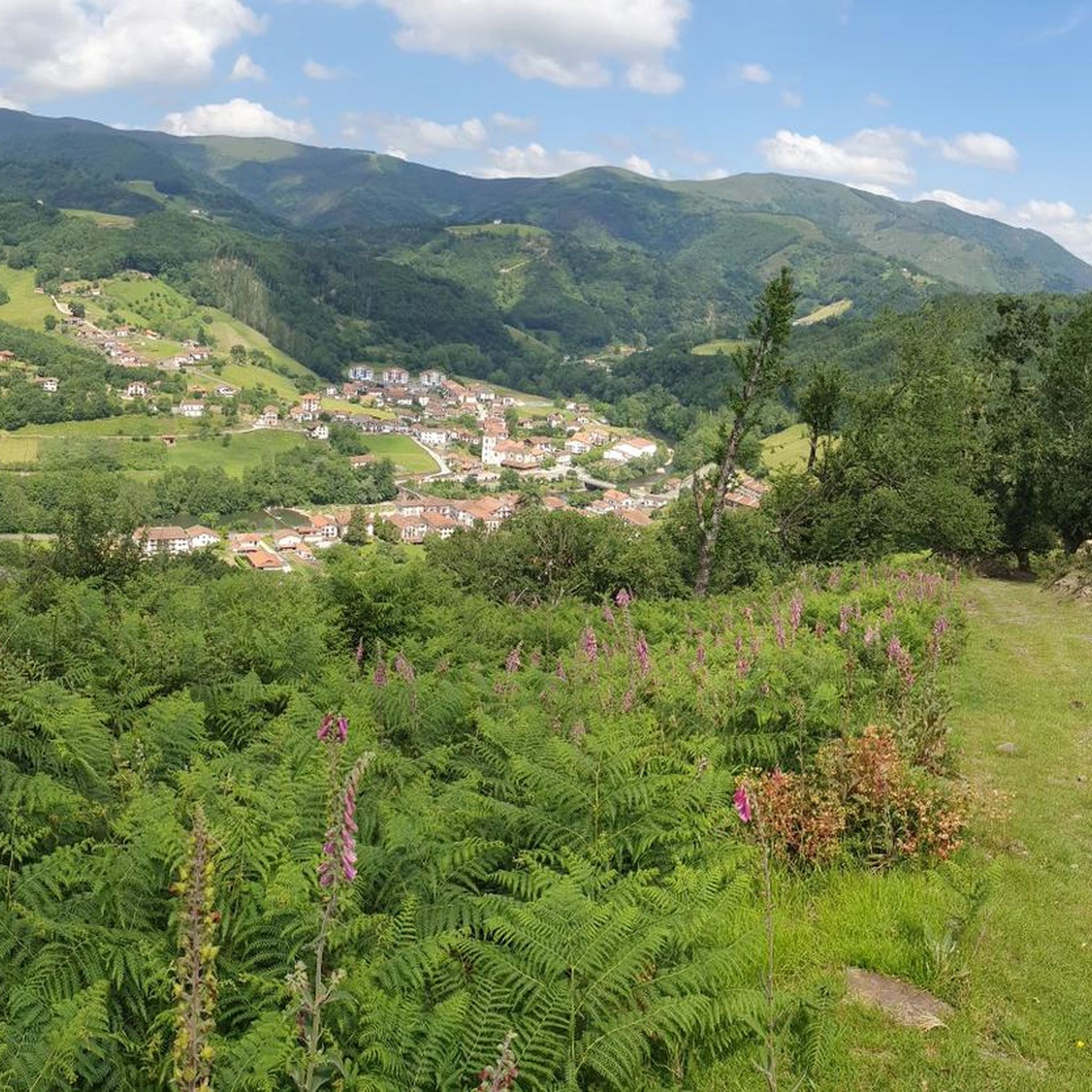
Hiking around Doneztebe/Santesteban offers a diverse landscape characterized by rolling hills, dense forests, and river valleys in the Navarre region. The area features a network of trails that traverse both natural and cultural points of interest. Elevations vary, providing options from gentle riverside paths to more challenging ascents. This region is suitable for various hiking abilities, with routes exploring the local terrain.
Best hiking trails around Doneztebe/Santesteban
- The most popular hiking route is Water Route / Water Path loop from Doneztebe / Santesteban, a 4.7 miles (7.6 km) trail that takes 2 hours 3 minutes to complete. This moderate circular walking route follows the historic water path, offering a scenic experience.
- Another top favourite among local hikers is Casa Torre de Donamaria loop from Donamaria, a moderate 5.5 miles (8.9 km) path. This route features a significant elevation gain of over 1,200 feet (389 meters) and passes by historical architecture.
- Local hikers also love the Oteixon Summit – Small Grove loop from Sunbilla, a 6.4 miles (10.3 km) trail leading through varied terrain with scenic viewpoints, often completed in about 3 hours 37 minutes.
- Hiking around Doneztebe/Santesteban is defined by forested hills, river paths, and elevated viewpoints. The network offers options for different ability levels, including easy hikes Doneztebe/Santesteban and more challenging ascents.
- The routes in Doneztebe/Santesteban are highly rated by the komoot community with an average score of 4.5 stars from over 250 reviews. More than 2,000 hikers have used komoot to explore Doneztebe/Santesteban's varied terrain.
Last updated: July 3, 2026
5.0
(4)
36
hikers
8.92km
02:54
390m
390m
Moderate hike. Good fitness required. Easily-accessible paths. Suitable for all skill levels.
4.5
(4)
31
hikers
14.8km
06:12
970m
970m
Hard hike. Very good fitness required. Mostly accessible paths. Sure-footedness required.

Sign up for free
4.5
(4)
18
hikers
10.3km
03:38
550m
550m
Moderate hike. Good fitness required. Mostly accessible paths. Sure-footedness required.
5.0
(2)
10
hikers
9.93km
04:14
670m
670m
Moderate hike. Good fitness required. Mostly accessible paths. Sure-footedness required.
5.0
(1)
15
hikers
7.64km
02:04
100m
100m
Moderate hike. Good fitness required. Easily-accessible paths. Suitable for all skill levels.
Get access to more routes and recommendations from other explorers.
Sign up for free
Already have an account?
Our route recommendations are based on thousands of hikes, rides, and runs completed by other people on komoot.
Start today with a free account
Your next adventure awaits.
Login or Signup
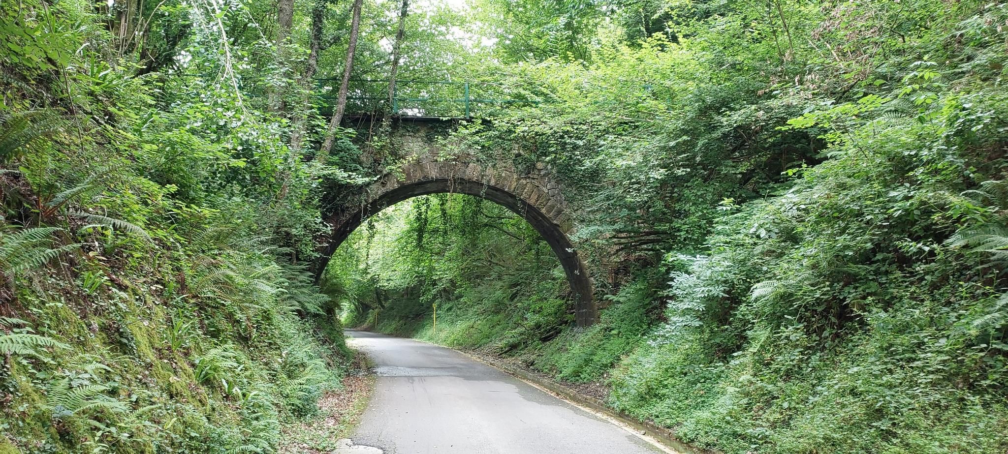
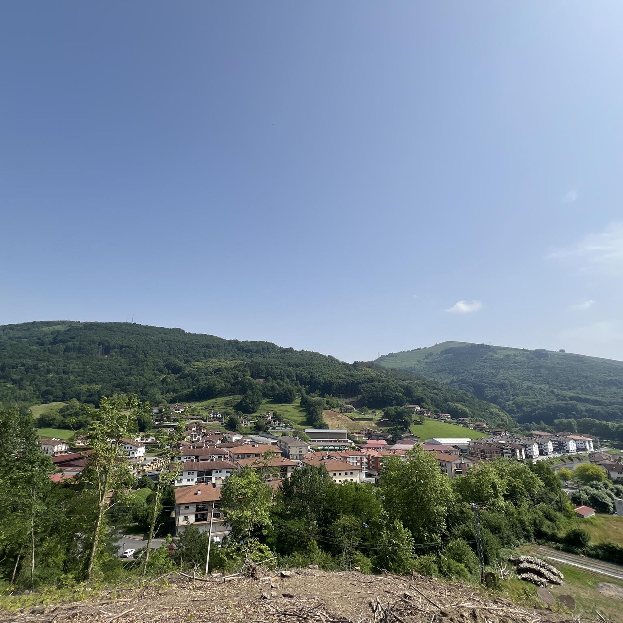
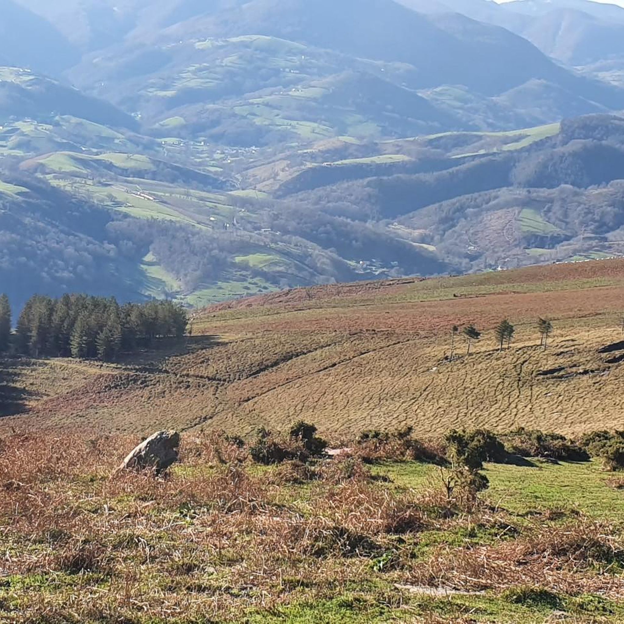
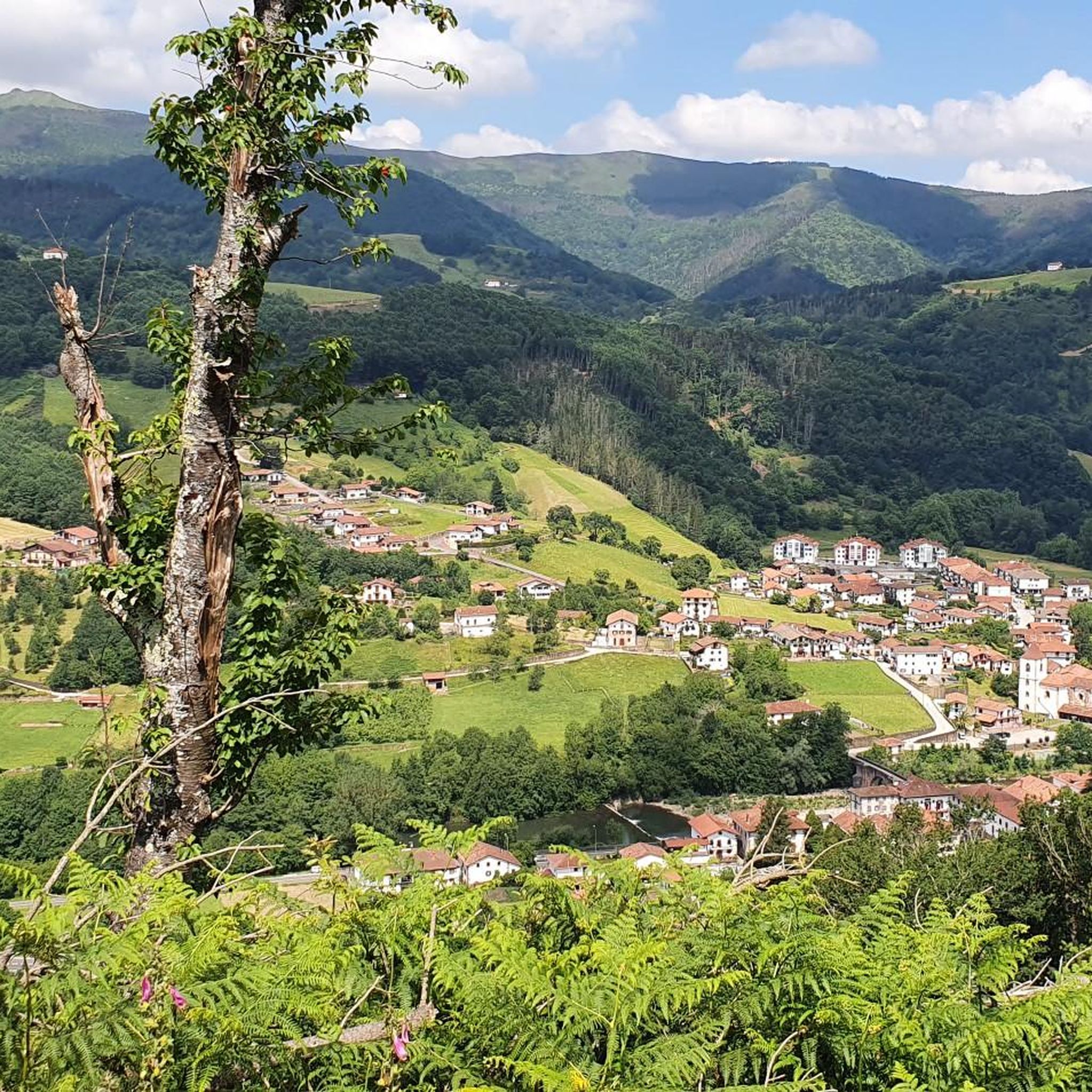

Other adventures around Doneztebe/Santesteban

Tips from the Community

A very nice round trip along the magnificent river. Landscapes that change with each barrier crossing. very nice time
0
0

We are at the bottom of the valley, Mendaur contemplates us from its proud past 1100 m.
1
0

Peak with beautiful views of other Navarrese and Gipuzkoan peaks
3
0
Menhir that is located just before the final stretch to the summit of Mendaur
2
0

Perfectly visible, in the middle of the pass that separates the Mendaur from the Mendieder
5
0
One of the emblematic mountains of the area. And it does not surprise me, a joy of views and the additional reward of this small hermitage on the point.
8
0
Prelude to the nearby Mendaur, it is not difficult to take a detour and admire the views also from this small peak
7
0

With its top at 1131 meters above sea level. the Mendaur is a real challenge! Located in the Malerreka valley, in the pre-Pyrenees, it offers a unique and incomparable landscape with beautiful views of the towns of Sunbilla and Ituren.
3
0
Frequently Asked Questions
How many hiking trails are available around Doneztebe/Santesteban?
There are over 80 hiking routes in the Doneztebe/Santesteban area, offering a wide range of options for different skill levels and preferences.
Are there easy hiking trails suitable for beginners or families?
Yes, Doneztebe/Santesteban offers 12 easy hiking routes. A good option for a gentle walk is the Water Route / Water Path loop from Doneztebe / Santesteban, which is a moderate 7.6 km (4.7 miles) trail with minimal elevation gain, suitable for most abilities.
What kind of terrain can I expect on hikes in Doneztebe/Santesteban?
The region features diverse terrain, including rolling hills, dense forests, and river valleys. You'll find paths ranging from gentle riverside strolls to more challenging ascents through wooded areas, offering varied landscapes to explore.
Are there any circular walking routes in the area?
Many of the trails around Doneztebe/Santesteban are circular, allowing you to start and end at the same point. For example, the Casa Torre de Donamaria loop from Donamaria is a popular moderate circular route covering 8.9 km (5.5 miles).
What are some scenic viewpoints or landmarks to look out for on the trails?
Hikers can enjoy scenic viewpoints from higher elevations, such as those found on the Oteixon Summit – Small Grove loop from Sunbilla. The area also features natural landmarks like the Mendaur Summit and Hermitage, which can be reached via more challenging routes like the MenhirDeLearra – Mendaur Summit and Hermitage loop from Sunbilla.
Are there any waterfalls to visit while hiking?
Yes, the region is home to beautiful waterfalls. You can visit the Bisusto Waterfall and the Putzubeltza Waterfall, both offering picturesque natural sights along or near hiking paths.
What other attractions can I explore near Doneztebe/Santesteban besides hiking?
Beyond the trails, you can explore cultural and natural attractions such as the historic Doneztebe (Santesteban) Historic Centre, the charming Etxalar Village, or the serene San Juan Xar Cave Shrine. Nature lovers might also enjoy the Oronoz and Señorío de Bertiz Natural Park.
What do other hikers say about the trails in Doneztebe/Santesteban?
The hiking routes in Doneztebe/Santesteban are highly rated by the komoot community, with an average score of 4.5 stars from over 250 reviews. Hikers often praise the varied terrain, well-maintained paths, and the peaceful natural surroundings.
Is Doneztebe/Santesteban a good destination for experienced hikers looking for a challenge?
Absolutely. While there are many easy and moderate options, Doneztebe/Santesteban also offers 23 difficult routes. These trails feature significant elevation gains and longer distances, providing a rewarding challenge for experienced hikers.
Are there any specific considerations for hiking in winter in Doneztebe/Santesteban?
While the region is generally accessible year-round, winter hiking may involve colder temperatures and potentially wet or muddy conditions, especially in forested areas. Higher elevations might see occasional snow. Always check local weather forecasts and trail conditions before heading out during winter months.
Can I find places to eat or drink near the hiking trails?
Doneztebe/Santesteban and its surrounding villages offer various local establishments where you can find refreshments and meals. Many routes start or pass through these towns, making it convenient to combine your hike with a stop at a cafe or restaurant.
Most popular routes around Doneztebe/Santesteban
Most popular attractions around Doneztebe/Santesteban

Get inspired with the komoot mobile app


Explore more
Browse the best Hikes in other regions.
