The best walks and hikes around Ribera Del Fresno
4.6
(11)
101
hikers
23
hikes
Hiking around Ribera Del Fresno offers access to local green spaces and serves as a base for exploring the wider Extremadura region. The immediate area features gentle terrain with parks like Parque de San Juan Macias and Parque de Arriba, suitable for leisurely walks. Surrounding landscapes include agricultural areas with vineyards and open countryside. More challenging hiking trails near Ribera Del Fresno Badajoz can be found in proximity to the Sierra Grande de Hornachos, offering varied elevation and natural features.
Best hiking trails around Ribera Del Fresno
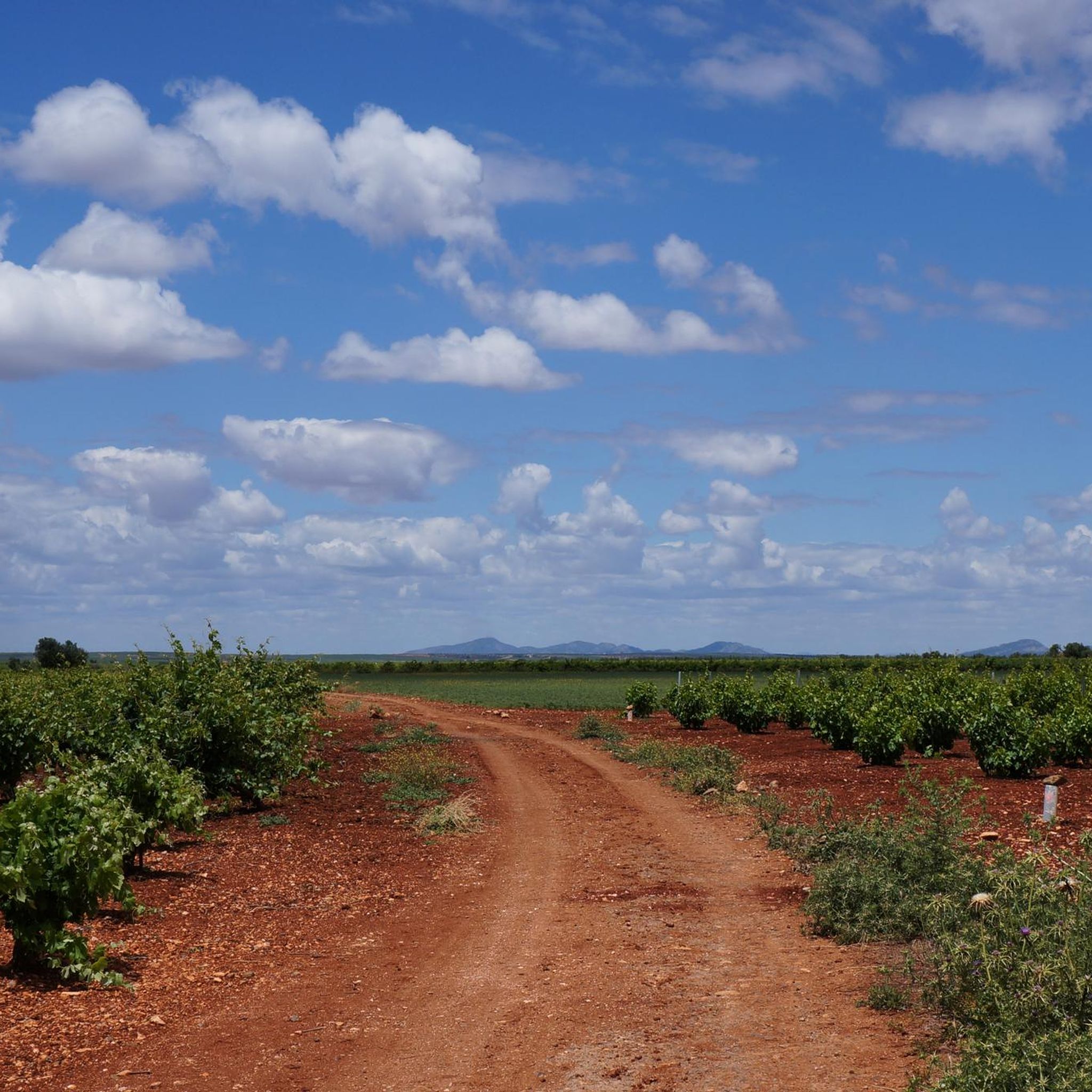
- The most popular hiking route is Vineyards – Clay Road loop from Almendralejo, an 18.6 miles (29.98 km) trail that takes 7 hours 42 minutes to complete. This difficult route traverses vineyard landscapes and clay roads.
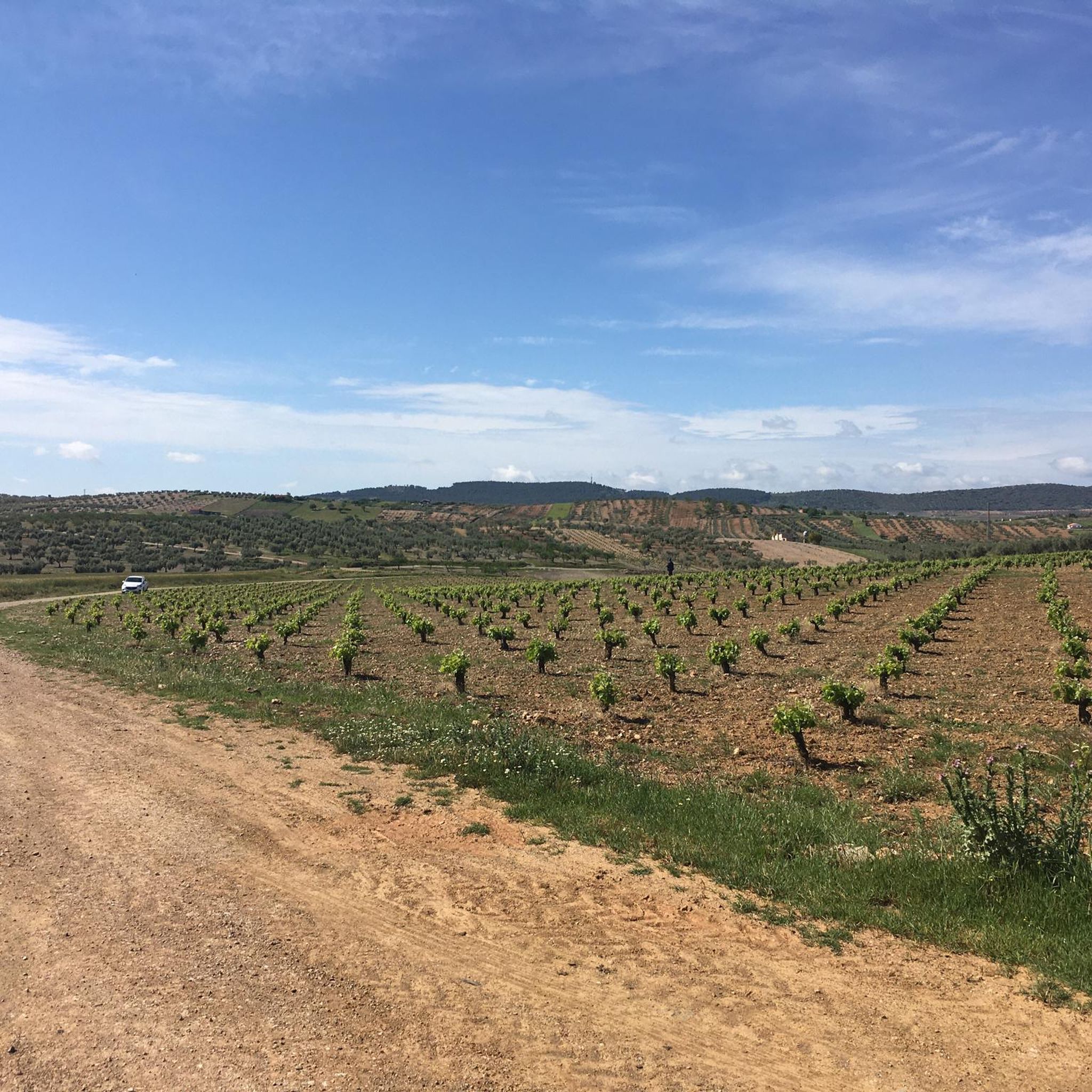
- Another top favourite among local hikers is Camino de Los Santos – View of Villafranca Vineyards loop from Cercado del Ángel, a difficult 13.9 miles (22.4 km) path. This route offers views of the Villafranca vineyards.
- Local hikers also love the Castillo de Hornachos – Hornachos loop from Hornachos, a 9.9 miles (15.9 km) trail leading through the Hornachos area and past its castle, often completed in about 5 hours 4 minutes.
- Hiking around Ribera Del Fresno is defined by local parks, agricultural landscapes with vineyards, and proximity to hills like those near Hornachos. The network offers options for different ability levels, from easy walks to more difficult trails with significant elevation gain.
- The routes in Ribera Del Fresno are highly rated by the komoot community with an average score of 4.6 stars from over 11 reviews. More than 60 hikers have used komoot to explore Ribera Del Fresno's varied terrain.
Last updated: July 8, 2026
4.0
(4)
26
hikers
30.0km
07:42
130m
130m
Hard hike. Very good fitness required. Easily-accessible paths. Suitable for all skill levels.
4.3
(3)
13
hikers
Hard hike. Very good fitness required. Easily-accessible paths. Suitable for all skill levels.

Sign up for free
5.0
(1)
11
hikers
8.55km
02:42
350m
350m
Moderate hike. Good fitness required. Easily-accessible paths. Suitable for all skill levels.
2
hikers
15.8km
05:03
660m
660m
Hard hike. Very good fitness required. Easily-accessible paths. Suitable for all skill levels.
3
hikers
6.78km
01:47
60m
60m
Easy hike. Great for any fitness level. Easily-accessible paths. Suitable for all skill levels.
Get access to more routes and recommendations from other explorers.
Sign up for free
Already have an account?
Our route recommendations are based on thousands of hikes, rides, and runs completed by other people on komoot.
Start today with a free account
Your next adventure awaits.
Login or Signup

Tips from the Community

Villafranca de los Barros is located in the center of the province of Badajoz, the heart of the Tierra de Barros region, and a key communication point on the Ruta de la Plata.
0
0
Point on the Mozárabe Way (also known as Vía de la Plata or VdlP) is a pilgrimage route that connects Almería with Santiago de Compostela.
2
0
Point on the Mozárabe Way (also known as Vía de la Plata or VdlP) is a pilgrimage route that connects Almería with Santiago de Compostela.
2
0
Point on the Mozárabe Way (also known as Vía de la Plata or VdlP) is a pilgrimage route that connects Almería with Santiago de Compostela.
2
0

At the foot of the Sierra Grande de Hornachos we will arrive at the town of Hornachos. Its most important monument, the Iglesia de la Purísima Concepción, towers over the city.
1
0
The trails that lead to the Sierra de Hornachos with its steep rocky wall exposed to the passage of time. Upon reaching the plateau are the ruins of the Castle of Hornachos. The views over the surrounding valley are incredible.
1
0
Ruins just 800 meters from the Almazara Tourist Hostel.
9
0
La Almazara Tourist Hostel.
9
0
Frequently Asked Questions
How many hiking trails are available around Ribera Del Fresno?
There are 16 hiking routes available around Ribera Del Fresno, offering a variety of experiences from easy walks to more challenging trails. These include 6 easy, 7 moderate, and 3 difficult routes.
What kind of terrain can I expect on hikes near Ribera Del Fresno?
The immediate area around Ribera Del Fresno features gentle terrain with local parks and agricultural landscapes, including vineyards. For more varied and challenging terrain, you can explore areas like the Sierra Grande de Hornachos, which offers significant elevation changes and natural features. Further afield, the wider Extremadura region provides dramatic landscapes, such as the granite formations and river erosion in the Garganta de los Infiernos Natural Reserve, and alpine environments in the Sierra de Gredos.
Are there any family-friendly hiking options in the area?
Yes, Ribera Del Fresno offers local green spaces like Parque de San Juan Macias and Parque de Arriba, which are suitable for leisurely walks and family activities. For a slightly more adventurous family outing, the Garganta de los Infiernos Natural Reserve, though further away, has a shorter, easier 2.5-kilometer route to Los Pilones, known for its unique 'Giant's Kettles' and natural pools.
Can I find circular hiking routes around Ribera Del Fresno?
Yes, several circular routes are available. An example is the difficult Vineyards – Clay Road loop from Almendralejo, which is 29.98 km long. Another option is the moderate Hiking loop from Villafranca de los Barros, covering 10.97 km. For those seeking a challenge near Hornachos, consider the difficult Castillo de Hornachos – Hornachos loop from Hornachos, a 15.9 km trail.
What natural features or landmarks can I see while hiking?
Around Ribera Del Fresno, you'll encounter agricultural landscapes with vineyards. Notable nearby attractions include the Vineyards of Ribera del Guadiana and viewpoints like the View of Los Santos de Maimona. Further afield in the Extremadura region, the Garganta de los Infiernos Natural Reserve is famous for its 'Marmitas de Gigante' (Los Pilones) and numerous waterfalls.
Are there any trails that offer views of vineyards?
Yes, the region is known for its vineyards. You can enjoy vineyard views on routes such as the difficult Camino de Los Santos – View of Villafranca Vineyards loop from Cercado del Ángel, which offers scenic vistas of the Villafranca vineyards. The Vineyards of Ribera del Guadiana are also a prominent feature in the area.
What do other hikers enjoy most about hiking in Ribera Del Fresno?
The hiking routes around Ribera Del Fresno are highly rated by the komoot community, with an average score of 4.6 stars from over 11 reviews. Hikers often praise the varied terrain, from gentle local parks to more challenging trails near Hornachos, and the scenic agricultural landscapes, particularly the vineyards.
Are there any historical sites or cultural landmarks accessible via hiking trails?
Yes, for those interested in history, the Castillo de Hornachos – Hornachos loop from Hornachos trail leads past the historic castle in Hornachos. Other nearby cultural highlights include El Capricho de Cotrina and the Church of Nuestra Señora de la Purificación (Almendralejo).
What is the best time of year to go hiking in this region?
While specific seasonal recommendations for Ribera Del Fresno are not provided, the Extremadura region generally experiences hot summers. Spring and autumn are typically ideal for hiking, offering milder temperatures and pleasant conditions for exploring both the local parks and the more extensive trails in areas like the Sierra Grande de Hornachos or the Garganta de los Infiernos Natural Reserve.
Are there opportunities to see wildlife on the trails?
The diverse ecosystems in the wider Extremadura region, particularly in protected areas like the Garganta de los Infiernos Natural Reserve, support a variety of wildlife. Hikers there might spot mountain goats, Iberian desman, wildcats, and various birds of prey like golden eagles and peregrine falcons, especially in the higher mountain areas and along riverbanks.
How long do hikes typically take around Ribera Del Fresno?
Hiking durations vary significantly based on the route's length and difficulty. For example, the difficult Vineyards – Clay Road loop from Almendralejo, at nearly 30 km, typically takes around 7 hours 42 minutes. A moderate route like the Hornachos loop from Hornachos, which is about 14.9 km, can be completed in approximately 4 hours 23 minutes. Shorter, easier walks in local parks would take less time.
Most popular routes around Ribera Del Fresno
Most popular attractions around Ribera Del Fresno

Get inspired with the komoot mobile app


Explore more
Browse the best Hikes in other regions.
