The best running trails around Santa María De Ordás
53
runners
4
runs
Jogging around Santa María De Ordás offers a variety of routes through the rural landscape of León. The region is characterized by its rolling hills and valleys, with routes often traversing open countryside and forested sections. Elevation gains are common, providing challenging ascents and rewarding views. The terrain primarily consists of natural paths and tracks, suitable for trail running.
Best jogging routes around Santa María De Ordás
- The most popular jogging route is Cruz de Fontañán – Alto de Monterrey…
Last updated: July 5, 2026
4
runners
6.02km
00:46
200m
200m
Jog the moderate 3.7-mile Ruta de los Calderones Trail, featuring suspension bridges, river views, and the Waterfall of the Arroyo de los Ca
2
runners
15.7km
02:01
360m
360m
This difficult 9.7-mile trail running route from Villayuste explores the historic Paths of Transhumance in the Valles de Omaña y Luna Biosph

Sign up for free
12.1km
01:29
250m
250m
Moderate run. Good fitness required. Mostly paved surfaces. Suitable for all skill levels.
23
runners
11.8km
01:44
530m
530m
Hard run. Very good fitness required. Mostly accessible paths. Some sure footedness required.
15
runners
Hard run. Very good fitness required. Mostly accessible paths. Some sure footedness required.
Our route recommendations are based on thousands of hikes, rides, and runs completed by other people on komoot.
Start today with a free account
Your next adventure awaits.
Login or Signup
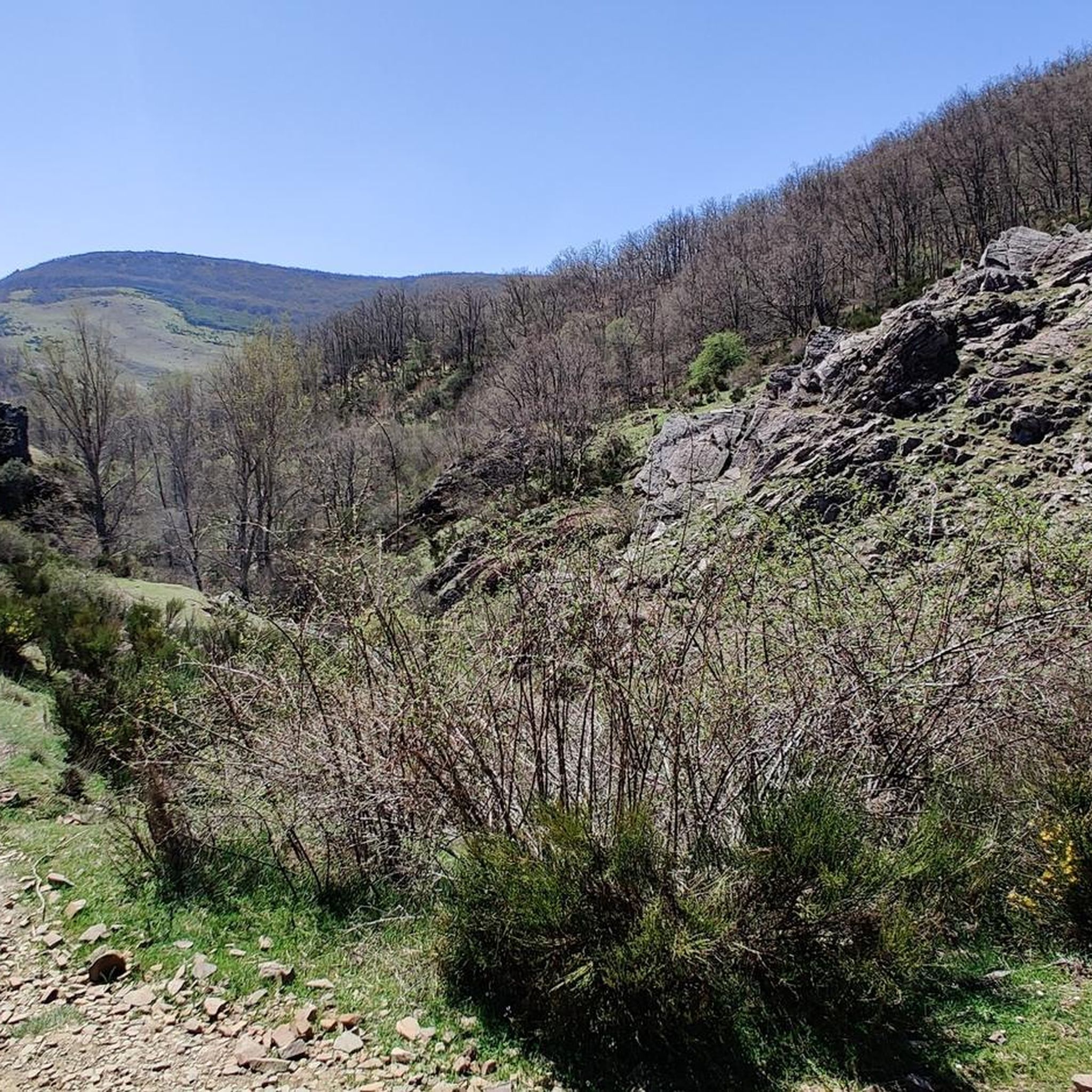
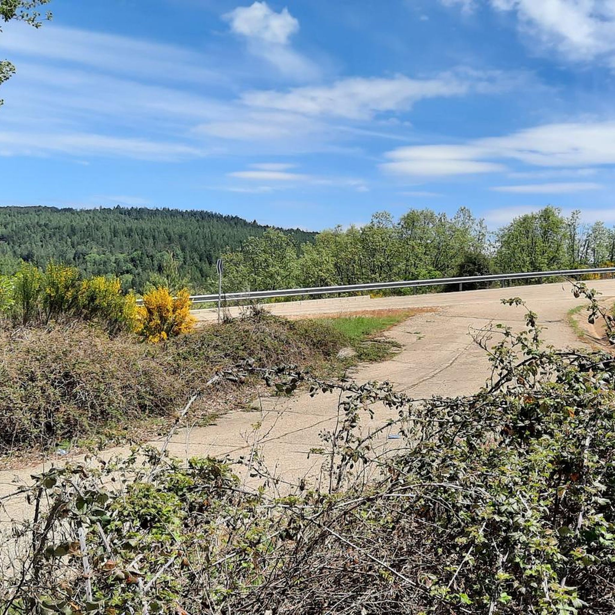
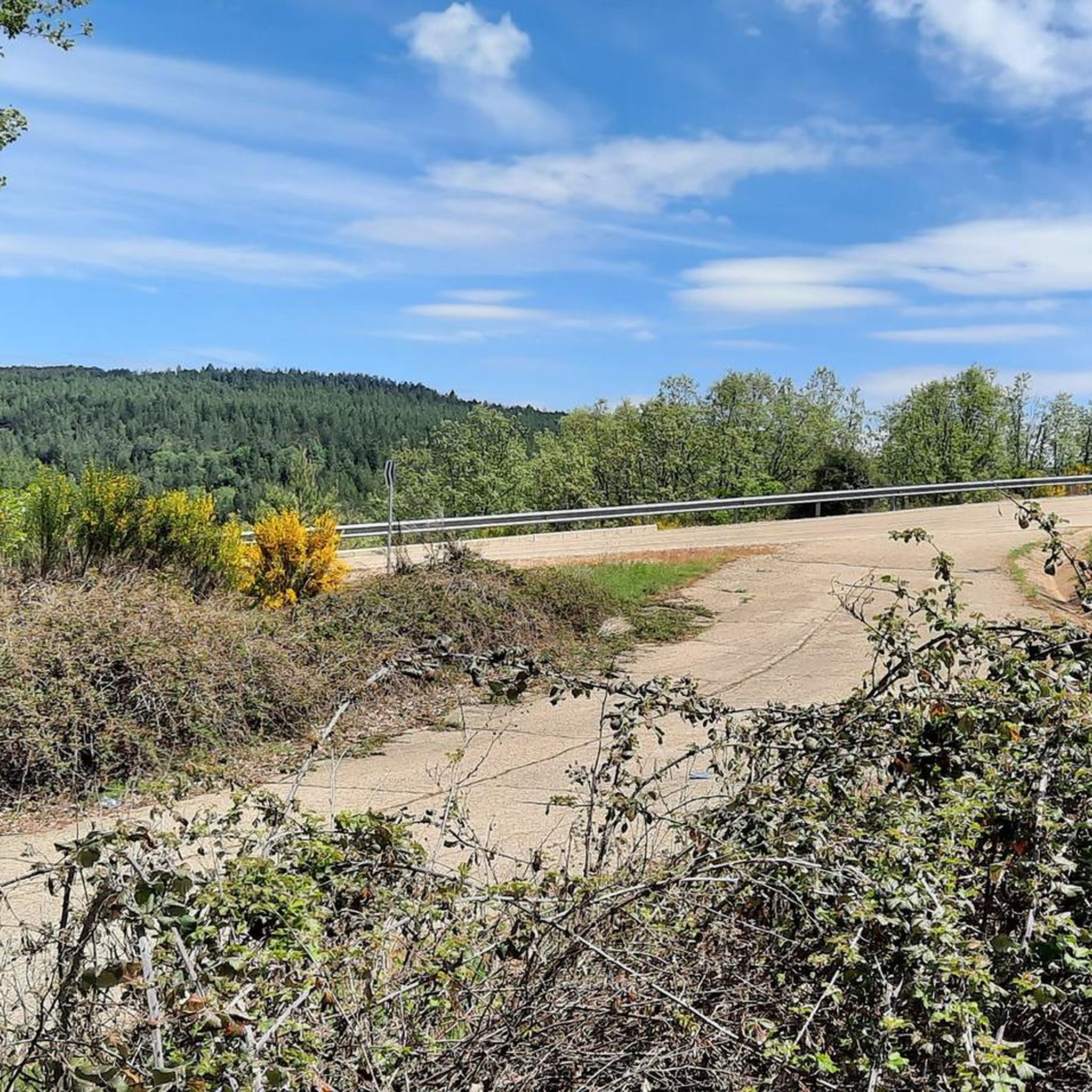
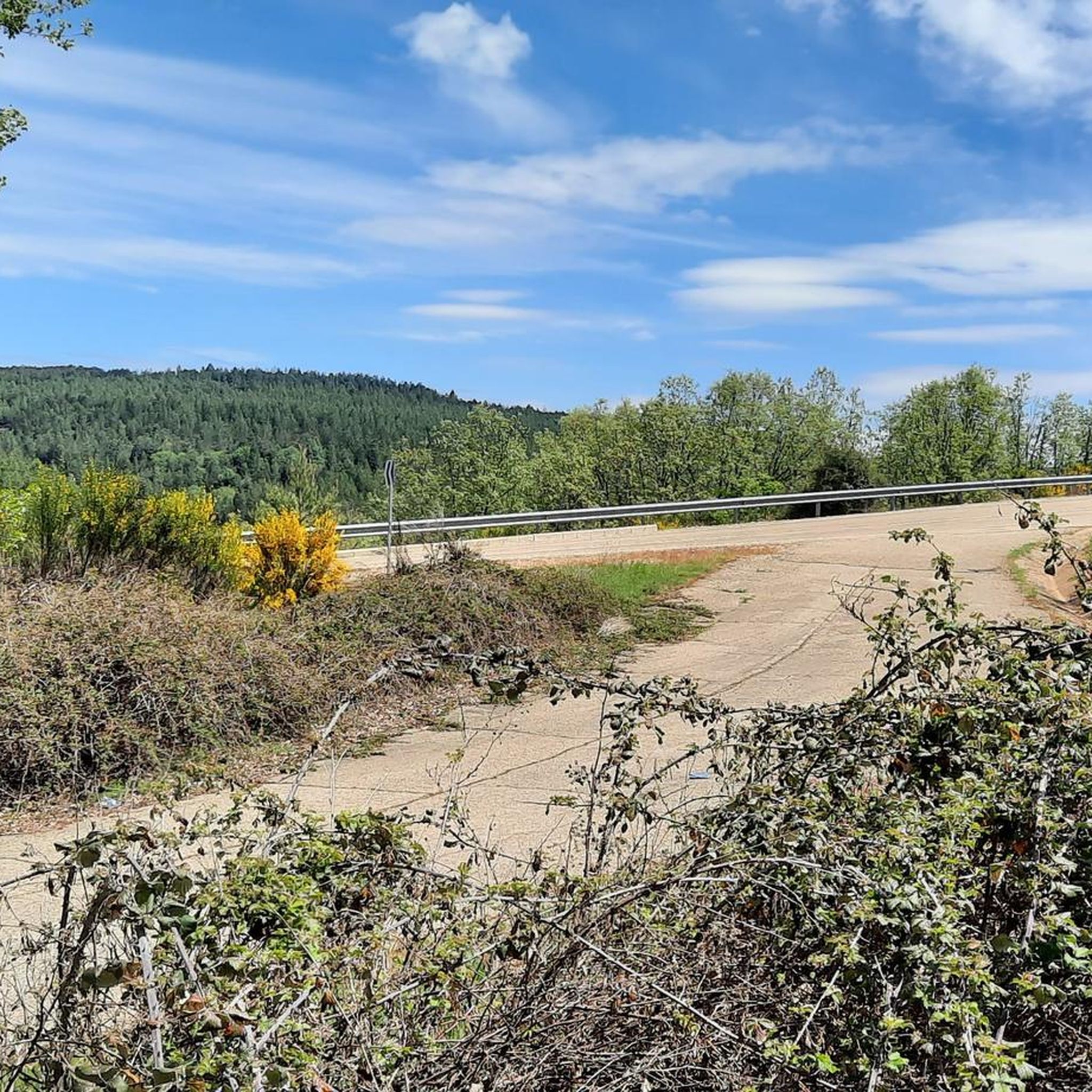
Tips from the Community

The descent from Fontañán Peak offers spectacular views of the Upper Bernesga Valley. Remember to be careful while driving. It's best to stop and enjoy the views before the descent.
2
0

This is an old defensive structure located on the banks of the Órbigo River, now in ruins but of great scenic and historical value. Its remains stand among fields and rural roads, making it a highly recommended stop on MTB or gravel routes in the area. Access is easy via compacted dirt tracks and offers unobstructed views of the León surroundings. Ideal for a short photo break, especially if you're looking to combine leisurely riding with hidden heritage gems.
1
0

Do not do this in winter or during the rainy season, the first part of the descent through the beech forest is a skating rink.
1
1

Popular place for hiking, especially near the waterfall of the Calderones stream. The cabin offers a picturesque view of what was once an old cattle village, now in ruins, with only one building standing.
3
0


Without a doubt, the king of the Oman mountains is the oak and here we find ourselves under the shade of a beautiful oak grove. A transit area of the route of Los Caminos de la Transhumancia that starts from Villayuste.
1
1
We are in the Alto del Camparón (passage area of the Los Caminos de la Transhumancia route) with beautiful views of the Omañeses mountains and to the north, the Luna mountain.
1
1
The Santas Martas cabin offers us a beautiful picture of what was an old cattle town, now in ruins and with only one building standing.
1
0
Frequently Asked Questions
What kind of terrain can I expect on running routes in Santa María De Ordás?
The running routes around Santa María De Ordás primarily feature natural paths and tracks, suitable for trail running. You'll encounter a mix of rolling hills, valleys, open countryside, and occasional forested sections. Elevation gains are common, providing both challenging ascents and rewarding views.
Are there any easy or beginner-friendly running trails in Santa María De Ordás?
While many routes in Santa María De Ordás involve significant elevation, there are moderate options available. For instance, the Ruta de los Calderones Trail is a moderate 6 km (3.7 miles) route that offers a good introduction to the area's terrain without being overly strenuous.
Where can I find longer distance running trails in the region?
For longer distances and more challenging runs, Santa María De Ordás offers several options. The Cruz de Fontañán – Alto de Monterrey loop from Olleros de Alba is a difficult 17.4 km (10.8 miles) trail with substantial elevation gain. Another demanding option is The Drovers' Roads Trail, which spans 15.7 km (9.7 miles) and follows historical paths.
Are there any circular running routes or loops in Santa María De Ordás?
Yes, there are several circular running routes. A popular option is the La Tierra de Ordás – running circular desde Santa María de Ordás, which is a 12.1 km (7.5 miles) loop through the local countryside. Another challenging circular route is the Cruz de Fontañán loop from Olleros de Alba, covering 11.8 km (7.3 miles).
What scenic attractions or landmarks can I see while running in Santa María De Ordás?
The region offers several natural and historical points of interest. You might encounter the impressive Los Calderones Gorge or the beautiful Waterfall of the Arroyo de los Calderones. For historical sights, consider the Hermitage of the Virgin of Manadero in the Cave of the Doves or the Camposagrado Bell Tower.
What do other runners say about the trails in Santa María De Ordás?
The running trails in Santa María De Ordás are well-regarded by the komoot community, with over 50 runners having explored the varied terrain. Users often praise the challenging nature of the routes, the significant elevation gains, and the rural scenery that defines the region.
Are the running routes in Santa María De Ordás suitable for families?
Many routes in Santa María De Ordás feature hilly terrain and natural paths, which might be challenging for very young children or strollers. However, families with older children who are accustomed to trail running or hiking may enjoy the moderate routes, such as the Ruta de los Calderones Trail, which is shorter and less strenuous.
Are there any dog-friendly running trails in Santa María De Ordás?
Generally, the natural paths and open countryside of Santa María De Ordás are suitable for running with dogs. However, it's always advisable to keep dogs on a leash, especially when passing through agricultural areas or near livestock, and to respect local regulations regarding pets in natural parks or protected areas.
What is the best time of year to go running in Santa María De Ordás?
The best time for running in Santa María De Ordás is typically during spring and autumn when temperatures are milder and the natural landscape is at its most vibrant. Summer can be warm, so early morning or late evening runs are recommended. Winter running is possible, but some trails might be muddy or slippery, especially at higher elevations.
How many running routes are available in Santa María De Ordás?
There are at least 5 highly-rated running routes available around Santa María De Ordás, offering a mix of moderate and difficult options to suit different fitness levels and preferences.
Are there any challenging running routes for experienced runners?
Absolutely. Santa María De Ordás is known for its challenging terrain. Routes like the Cruz de Fontañán – Alto de Monterrey loop from Olleros de Alba, with over 1000 meters of elevation gain, and The Drovers' Roads Trail are classified as difficult and will test even seasoned runners.
Most popular attractions around Santa María De Ordás

Get inspired with the komoot mobile app


Explore more
Browse the best Running Trails & Routes in other regions.
