The best MTB trails around Sant Pere Sallavinera
5.0
(5)
219
riders
50
rides
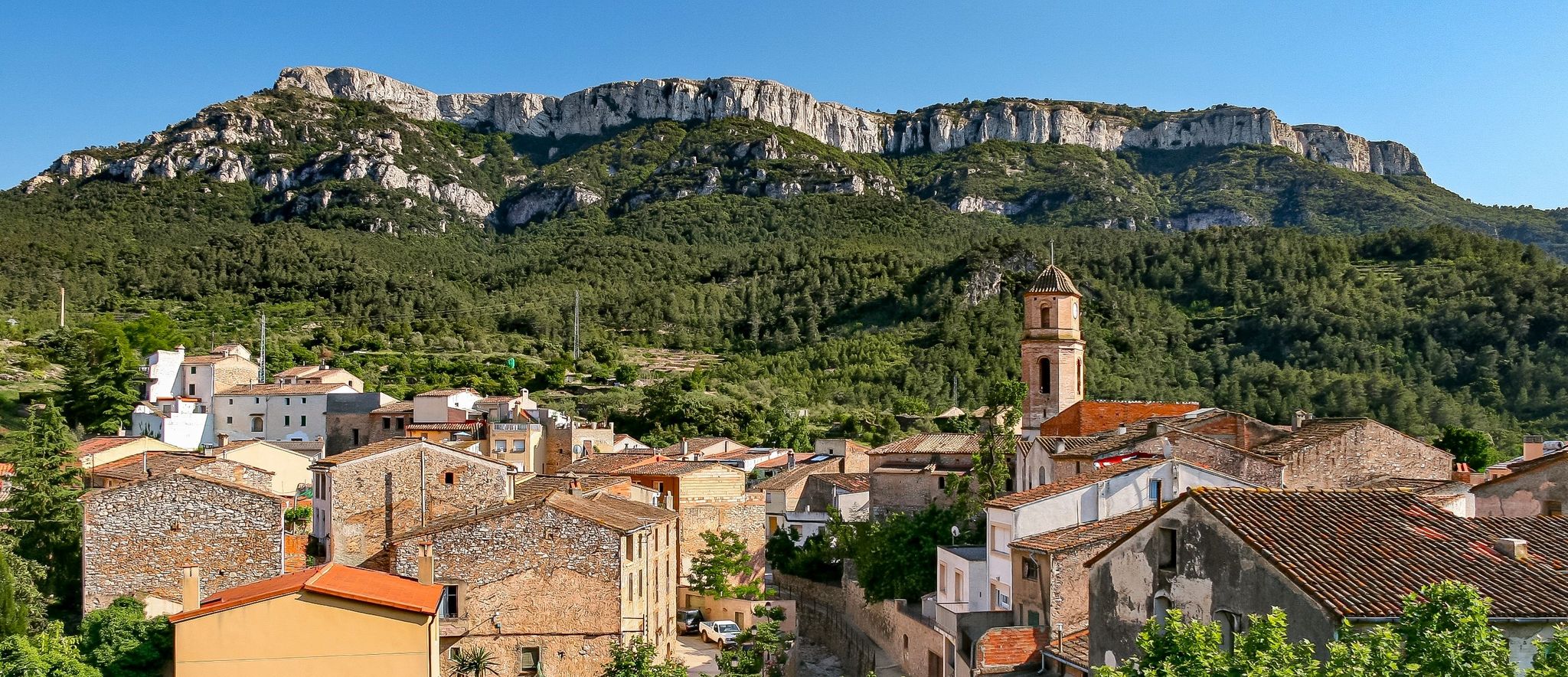
Mountain biking around Sant Pere Sallavinera offers a diverse and rugged natural landscape. The region is characterized by a complicated orography and extensive forest mass, providing varied terrain. Cyclists can experience significant landscape contrasts, moving between dense forested areas and open plains, with the Rajadell stream adding natural beauty. Elevated points, such as those around Boixadors Castle, provide panoramic views of the Alta Anoia region.
Best mountain bike trails in Sant Pere Sallavinera
- The most popular mountain bike trail is…
Last updated: June 28, 2026
15
riders
39.4km
03:43
800m
810m
Moderate mountain bike ride. Good fitness required. Suitable for all skill levels.
12
riders
40.6km
03:52
790m
790m
Moderate mountain bike ride. Good fitness required. Suitable for all skill levels.

Sign up for free
11
riders
107km
09:55
2,330m
2,330m
Hard mountain bike ride. Very good fitness required. Suitable for all skill levels.
8
riders
69.4km
04:53
1,160m
1,160m
Hard mountain bike ride. Very good fitness required. Suitable for all skill levels.
5.0
(1)
6
riders
43.6km
03:33
640m
640m
Moderate mountain bike ride. Good fitness required. Suitable for all skill levels.
Get access to more routes and recommendations from other explorers.
Sign up for free
Already have an account?
Our route recommendations are based on thousands of hikes, rides, and runs completed by other people on komoot.
Start today with a free account
Your next adventure awaits.
Login or Signup

Other adventures around Sant Pere Sallavinera

Tips from the Community

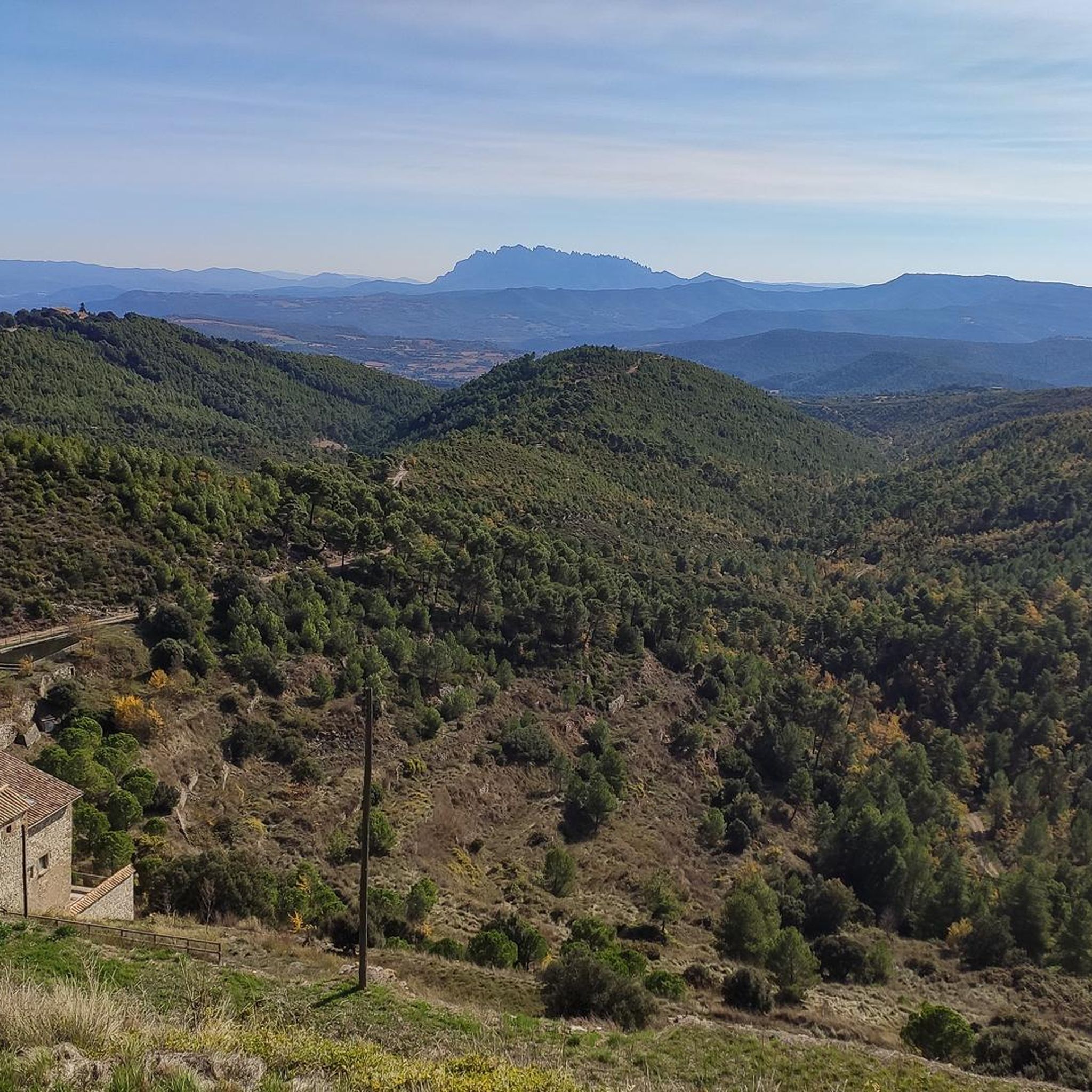
The ascent to the castle and observatory of Castelltallat is one of the cycling classics of this sparsely populated area. In this mountain range there are only a few farmhouses, which contributes to the low light pollution and makes the installation of an observatory ideal. On the ascent, the views of Montserrat are spectacular.
1
0

It is the parish church of the Matamargó disseminate, east of the municipality of Pinós. It is located in the easternmost foothills of the Serra de Pinós, on top of a hill, above the Les Cases farmhouse and west of the Riera de Matamargó. The church square is framed, to the north, by the walls and the entrance gate of a very neat cemetery, and to the south by the rectory building. The complex is the civic center and replaces the non-existent nucleus of the population entity of Matamargó. Source: Wikipedia
0
0
The tower of the Ardèvol castle is located on top of a small rock, in the center of the town of the same name, next to the parish church of Santa Maria which was the parish church. The administrative center is near the sanctuary of Santa Maria de Pinós, at the top of the Serra de Pinós (931 m). Source: Wikipedia
0
0
Santa Maria de Pinós or Sanctuary of Pinós or Our Lady of Pinós is a church of the municipality of Pinós al (Solsonès) included in the Inventory of the Architectural Heritage of Catalonia. Source: Wikipedia
0
0
The Geographical Center of Catalonia is marked on top of a small hill 930.60 meters above sea level, located a short distance from the sanctuary of Santa Maria de Pinós, within the municipality of Pinós, in Solsonès. Source: Wikipedia
0
0

I grew up there, long before the observatory and the archaeological works at the Castle. When we were little, it seemed to us that the idea that there was a castle behind the church was a chimera. When it was brought to light, it seemed like magic.
0
0
The Sundays of my childhood condensed into one point.
0
0

A little difficult to find the entrance from the south, quite closed paths and crossing a pass with the bike on.
0
0
Frequently Asked Questions
How many mountain bike trails are available in Sant Pere Sallavinera?
There are over 50 mountain bike trails around Sant Pere Sallavinera, offering a wide range of options for different skill levels.
Are there mountain bike trails suitable for beginners in Sant Pere Sallavinera?
Yes, Sant Pere Sallavinera offers 6 easy mountain bike routes. These trails are generally shorter and have less elevation gain, making them ideal for those new to mountain biking or looking for a relaxed ride.
What kind of terrain can I expect on mountain bike trails in Sant Pere Sallavinera?
The region is characterized by a complicated orography and extensive forest mass, providing varied terrain. You can expect significant landscape contrasts, moving between dense forested areas and open plains. The descent of the Rajadell stream also offers beautiful natural spaces.
Are there challenging mountain bike trails for experienced riders?
Absolutely. Sant Pere Sallavinera features 14 difficult mountain bike routes designed for experienced riders. These trails often include significant elevation changes and technical sections. For example, the Geographical Center of Catalonia – Castell de Boixadors loop from Sant Pere Sallavinera is a challenging 40.5-mile route with over 1300 meters of elevation gain.
What are some scenic viewpoints or landmarks I can see along the mountain bike trails?
Many trails offer spectacular panoramic views, especially from elevated points around Boixadors Castle. This historic castle is a frequent destination for routes and provides commanding views of the entire Alta Anoia region. You might also encounter intriguing 'holed rocks' along ancient transhumance paths.
Are there any circular mountain bike routes in the area?
Yes, many of the mountain bike routes in Sant Pere Sallavinera are circular. For instance, the Ruins of the Calaf castle – Molí de la Roda loop from Calaf and the Molí de la Roda – Ermita de Sant Ermengol loop from Calaf are popular circular options, allowing you to start and finish at the same point.
What do other mountain bikers enjoy most about the trails in Sant Pere Sallavinera?
The mountain bike routes in Sant Pere Sallavinera are highly rated by the komoot community, with an average score of 5.0 stars from 5 reviews. Riders often praise the diverse and rugged natural landscape, the extensive forest cover, and the scenic views from historical sites like Boixadors Castle.
What is the best time of year to go mountain biking in Sant Pere Sallavinera?
The region's diverse landscape makes it suitable for mountain biking through much of the year. Spring and autumn generally offer pleasant temperatures and vibrant scenery. While winter conditions can vary, the area's rural tranquility provides a peaceful setting for outdoor activities, though it's always wise to check local weather forecasts.
Are there any historical sites or castles accessible by mountain bike?
Yes, the area is rich in historical sites. Boixadors Castle is a prominent attraction and a frequent destination on mountain bike routes. You can also explore other castles in the wider region, such as Castelltallat Castle, which also houses an astronomical observatory.
Are there any long-distance mountain bike routes in Sant Pere Sallavinera?
Yes, there are several longer routes for those seeking an extended ride. The Castell de Boixadors – Geographical Center of Catalonia loop from Calaf is a demanding 66.6-mile (107.1 km) trail with over 2300 meters of elevation gain, typically taking over 9 hours to complete.
What kind of natural features can I expect to see while mountain biking?
You'll encounter a variety of natural features, including extensive forests, open plains, and the beautiful natural spaces along the Rajadell stream. The 'complicated orography' means you'll experience diverse landscapes and elevation changes throughout your ride.
Most popular routes around Sant Pere Sallavinera
Most popular attractions around Sant Pere Sallavinera

Get inspired with the komoot mobile app


Explore more
Browse the best MTB trails in other regions.
