The best walks and hikes around El Maíllo
4.6
(133)
841
hikers
40
hikes
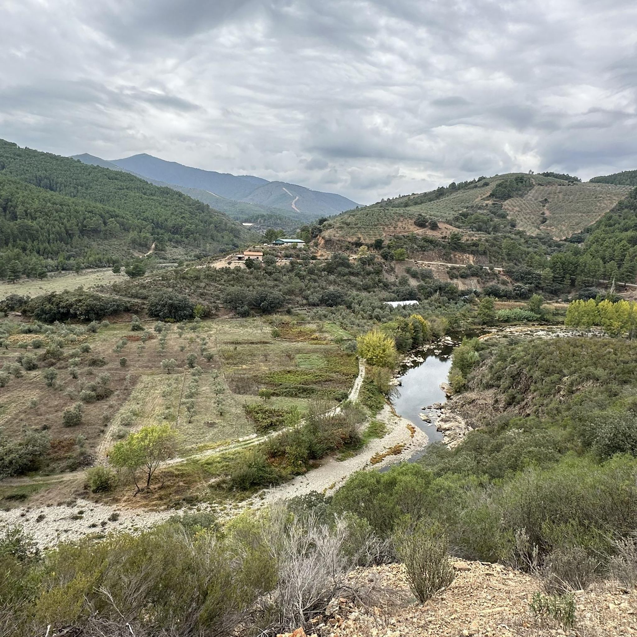
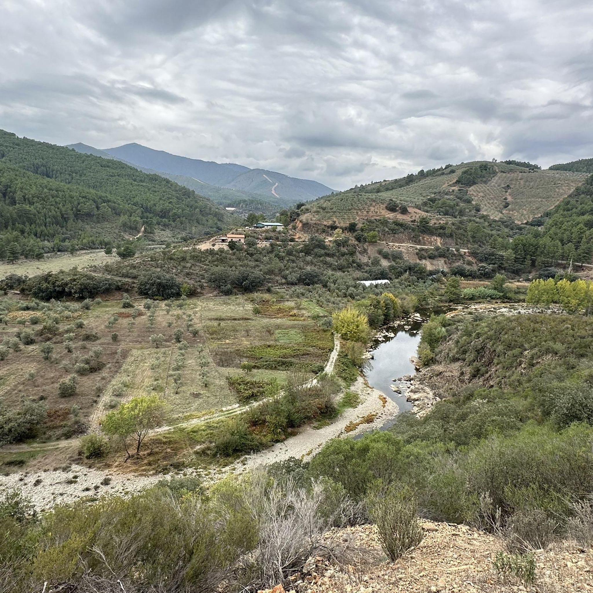
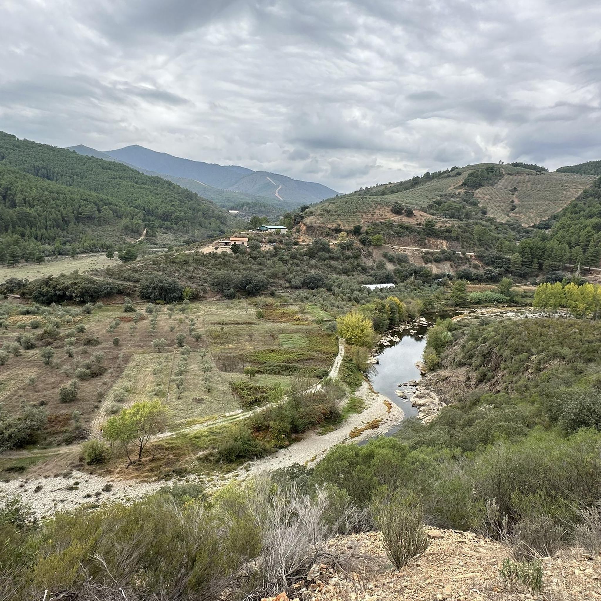
Hiking around El Maíllo offers diverse trails within the province of Salamanca, Spain, situated at an elevation of 985 meters (3,232 feet) above sea level. The municipality is an integral part of the Natural Park of Las Batuecas-Sierra de Francia and a designated Biosphere Reserve. The landscape features mountainous terrain, extensive oak and pine forests, and holm oak dehesa, providing varied environments for outdoor activities.
Best hiking trails in El Maíllo
- The most popular hiking route is Laguna de San…
Last updated: July 7, 2026
5.0
(9)
42
hikers
Hard hike. Good fitness required. Sure-footedness, sturdy shoes and alpine experience required.
5.0
(1)
14
hikers
15.5km
05:46
700m
690m
Hard hike. Very good fitness required. Sure-footedness, sturdy shoes and alpine experience required.

Sign up for free
5.0
(1)
25
hikers
19.3km
06:05
760m
760m
Hard hike. Very good fitness required. Easily-accessible paths. Suitable for all skill levels.
4.3
(3)
14
hikers
10.6km
03:02
260m
260m
Moderate hike. Good fitness required. Mostly accessible paths. Sure-footedness required.
5.0
(1)
14
hikers
14.9km
05:40
710m
710m
Hard hike. Very good fitness required. Sure-footedness, sturdy shoes and alpine experience required.
Get access to more routes and recommendations from other explorers.
Sign up for free
Already have an account?
Our route recommendations are based on thousands of hikes, rides, and runs completed by other people on komoot.
Start today with a free account
Your next adventure awaits.
Login or Signup

Tips from the Community

Beautifully converted commercial hotel and apartment complex, where traces of history can still be found in, for example, the towers and the statues of the crusaders.
10
0
Beautiful path with mossy stones and trees.
10
0
Beautiful top with views and a restaurant run by modern monks.
0
0
Really such a top that stands out with over 1700 meters, offering a beautiful view all around.
12
0

It offers spectacular views over the Sierra de Francia, the Sierra de Béjar, the Campo Charro region, northern Cáceres, and even the Serra da Estrela in Portugal. You can drive up via the SA-203 road (from La Alberca or El Cabaco), although it is often closed due to snow in winter. There are also hiking trails, such as the GR-10, starting from La Alberca.
5
0
La Peña de Francia is one of the most emblematic places in the province of Salamanca, located in the Las Batuecas-Sierra de Francia Natural Park, within the municipality of El Cabaco, about 81 km from Salamanca and near La Alberca.
4
0

The viewpoint is located approximately 1 km from Peña de Francia along the GR10 trail (Sierra de Francia Crossing).
0
0

Peña de Francia is a peak known by many cyclists and is undoubtedly worth crowning. It gives its name to the wonderful Natural Park and with its 1,727 m high it offers you the best panoramic views in all directions. Take the time to take photos from the two viewpoints located next to the Sanctuary of Our Lady of Peña de Francia.
4
1
Frequently Asked Questions
How many hiking trails are available around El Maíllo?
There are over 30 hiking trails around El Maíllo, offering a wide range of experiences from easy walks to challenging ascents. The area is part of the Natural Park of Las Batuecas-Sierra de Francia, providing diverse landscapes for exploration.
What kind of terrain can I expect on hikes near El Maíllo?
Hikes near El Maíllo feature diverse terrain, including mountainous areas, extensive oak and pine forests, and holm oak dehesa. You'll find varied environments, from lush valleys to panoramic viewpoints, reflecting the region's status as a Biosphere Reserve.
Are there any family-friendly hiking options in El Maíllo?
Yes, El Maíllo offers several family-friendly hiking options. There are 6 easy trails suitable for families, allowing you to enjoy the natural beauty of the Sierra de Francia at a comfortable pace. The newly established "Los Molinos" route, mentioned in the region research, is designed for accessible exploration with inclusive signage.
Can I bring my dog on the hiking trails around El Maíllo?
Many trails in the Natural Park of Las Batuecas-Sierra de Francia are dog-friendly, but it's always advisable to check specific regulations for each route, especially concerning protected wildlife areas. Keep your dog on a leash and ensure you clean up after them to preserve the natural environment.
What are some notable landmarks or viewpoints to see while hiking?
The region boasts several significant landmarks and viewpoints. A highlight is the ascent to Peña de Francia, offering panoramic views from its 1,727-meter summit, where you can also visit the Sanctuary of Our Lady of the Peña de Francia. Other points of interest include the Portillo Viewpoint and the San Marcos Lagoon.
Are there any circular hiking routes available?
Yes, there are several circular hiking routes. A popular option is the Laguna de San Marcos – circular via the Camino de Las Raíces, a moderate 5.8-mile (9.3 km) trail. Another challenging circular route is Peña Carbonera y Peña Huevo - circular desde La Alberca, offering stunning views.
What is the best time of year to go hiking in El Maíllo?
The best time to hike in El Maíllo is generally during spring (April to June) and autumn (September to November) when the weather is mild and the natural scenery is at its most vibrant. Summer can be hot, especially at lower elevations, while winter may bring colder temperatures and occasional snow at higher altitudes like Peña de Francia.
What do other hikers enjoy most about the trails in El Maíllo?
The trails in El Maíllo are highly rated by the komoot community, with an average score of 4.5 stars from over 100 reviews. Hikers often praise the diverse landscapes, the stunning panoramic views from peaks like Peña de Francia, and the rich biodiversity found within the Natural Park of Las Batuecas-Sierra de Francia.
Are there any challenging hikes for experienced trekkers?
Absolutely. For experienced trekkers, there are 10 difficult trails around El Maíllo. Routes like Peña de Francia from El Casarito recreational area or La Alberca - Las Batuecas Trail (PR-SA 10) offer significant elevation gains and rewarding views, providing a true test of endurance.
What facilities are available near the hiking areas?
Just outside El Maíllo's urban center, you can find the La Hoya recreational area, which offers camping facilities, picnic areas, barbecues, and even a swimming pool and sports courts. Additionally, charming villages like La Alberca, El Cabaco, and Nava de Francia are nearby, providing further amenities and cultural interest.
Is public transport available to reach the hiking trailheads?
While El Maíllo is accessible by road, public transport options directly to specific trailheads within the Natural Park can be limited. It is generally recommended to use a personal vehicle for maximum flexibility when accessing the more remote starting points for hikes. Check local bus schedules for connections to El Maíllo itself from larger towns in Salamanca province.
Are there any trails that pass by water features or waterfalls?
Yes, some routes incorporate water features. For instance, the region's research mentions the "Chorro de las Batuecas," which implies a waterfall, and the La Alberca to Chorro de las Batuecas – Sierra de Francia route leads to this natural attraction. The area also features the San Marcos Lagoon, offering serene waterside paths.
Most popular attractions around El Maíllo

Get inspired with the komoot mobile app


Explore more
Browse the best Hikes in other regions.
