The best road cycling routes around Encinacorba
4.3
(4)
609
riders
30
rides
Road cycling routes around Encinacorba are situated at the foot of the Sierra de Algairén, offering diverse landscapes for cyclists. The region features varied topography with pronounced serranos reliefs and deep valleys, transitioning from red clay plains to pine and holm oak forests. This area provides conditions for road cyclists seeking both invigorating climbs and scenic descents through vineyards and ancient geological formations. Significant elevation gains are characteristic of the routes in the vicinity.
Best road cycling routes around Encinacorba
…Last updated: June 28, 2026
4.0
(1)
89
riders
66.5km
03:28
1,050m
1,050m
Hard road ride. Very good fitness required. Mostly well-paved surfaces and easy to ride.
4.0
(1)
52
riders
89.6km
04:46
1,620m
1,620m
Hard road ride. Very good fitness required. Mostly well-paved surfaces and easy to ride.

Sign up for free
5.0
(1)
53
riders
80.1km
03:54
1,100m
1,100m
Hard road ride. Very good fitness required. Some segments of this route may be unpaved and difficult to ride.
42
riders
136km
06:32
1,840m
1,840m
Hard road ride. Very good fitness required. Some segments of this route may be unpaved and difficult to ride.
34
riders
109km
05:37
1,820m
1,820m
Hard road ride. Very good fitness required. Some segments of this route may be unpaved and difficult to ride.
Get access to more routes and recommendations from other explorers.
Sign up for free
Already have an account?
Our route recommendations are based on thousands of hikes, rides, and runs completed by other people on komoot.
Start today with a free account
Your next adventure awaits.
Login or Signup
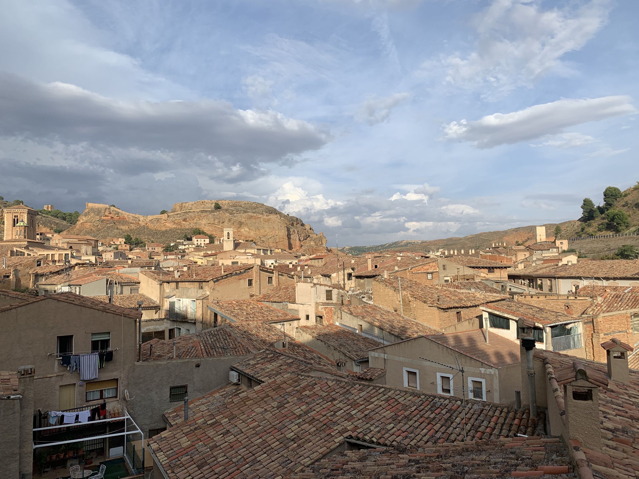
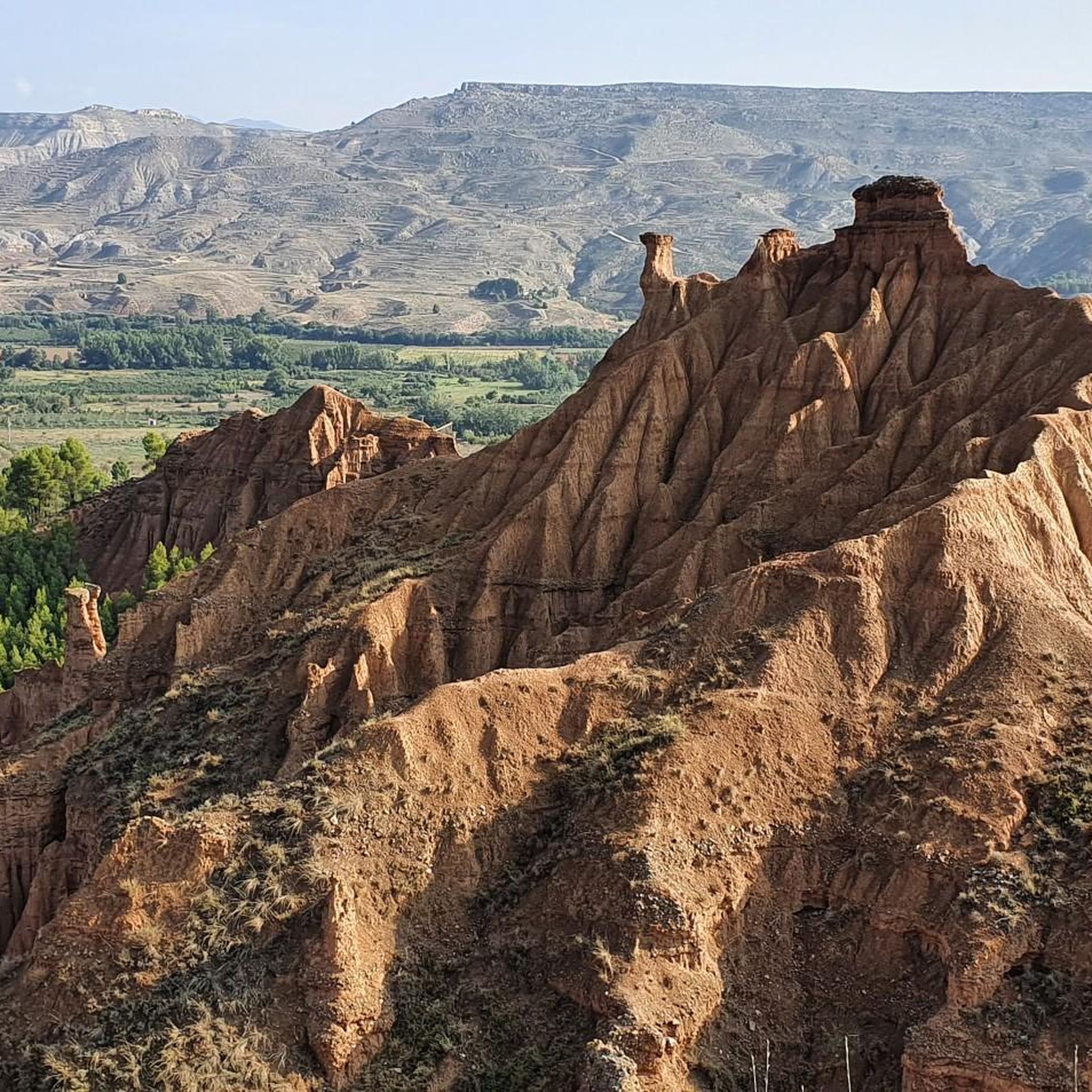
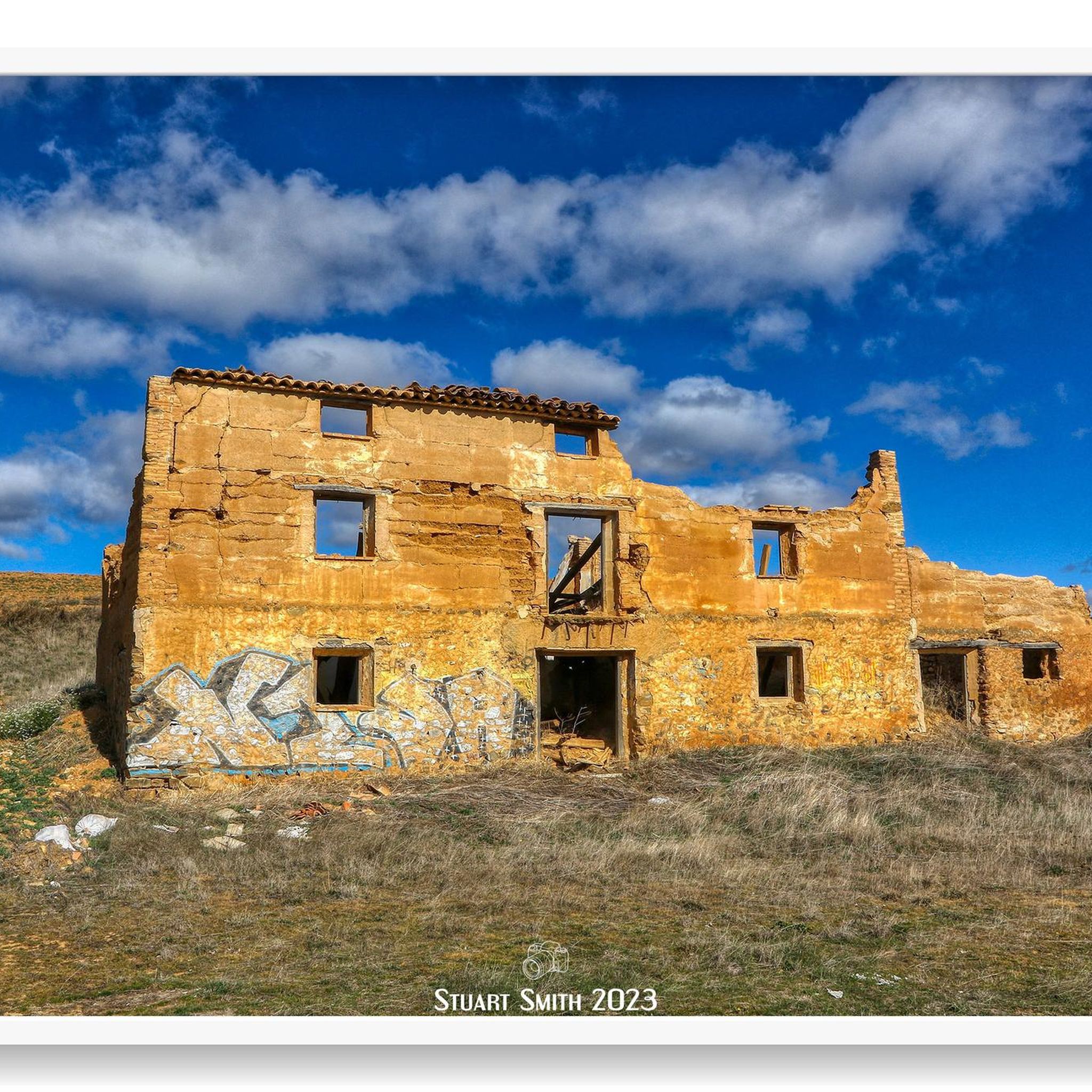

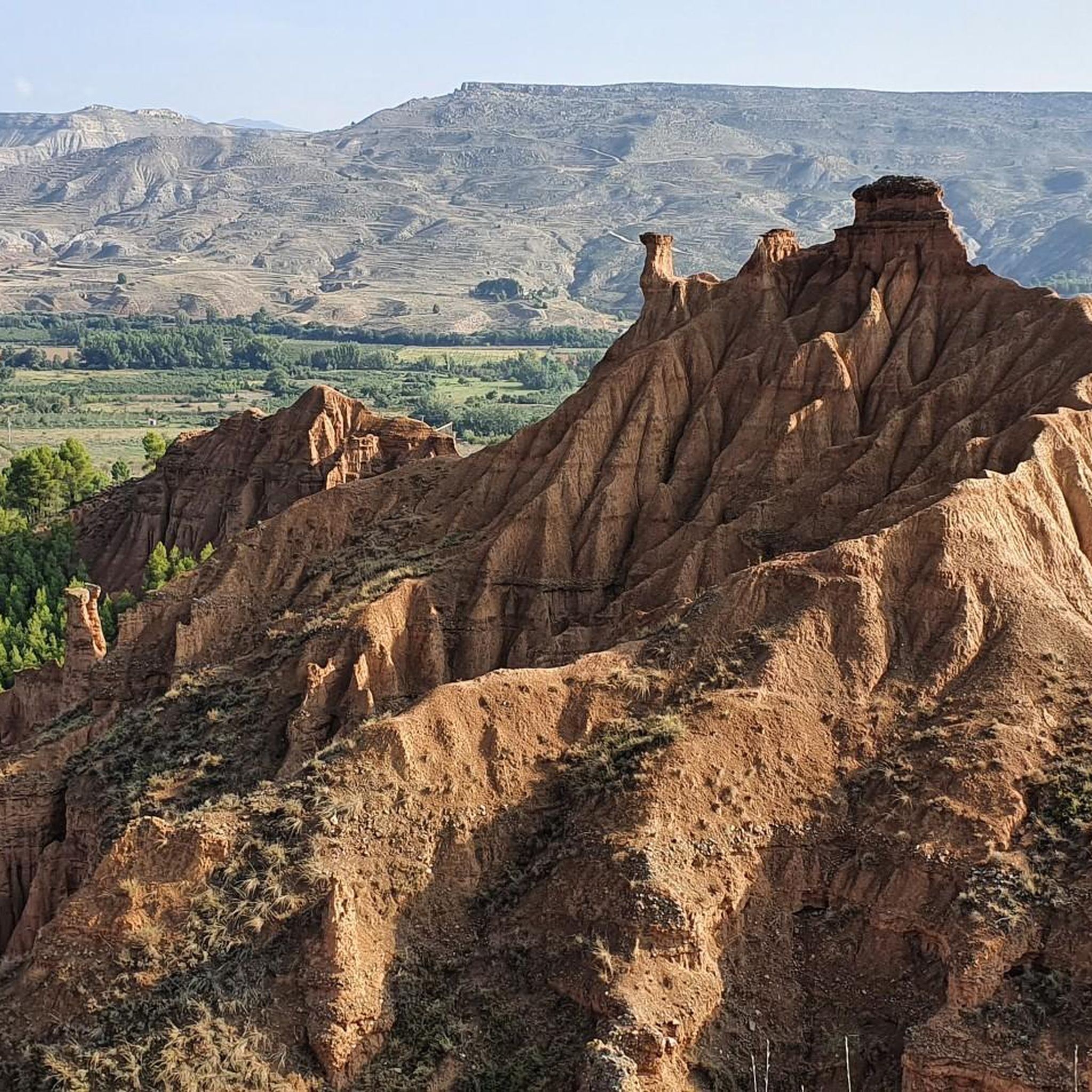
Other adventures around Encinacorba

Tips from the Community

The Hermitage of the Virgin of the Eagle in Cerveruela, Zaragoza, is a small sanctuary located in a picturesque natural setting, ideal for activities such as hiking and road cycling. It is located in the Campo de Daroca region, within the Zaragoza Iberian System Natural Park, which gives it remarkable scenic and ecological value.
2
0

The town of Codos is located on the banks of the Grío River, nestled in a primarily agricultural landscape where cherry and peach orchards predominate. In the center of town there is a bar.
1
0
The town of Santa Cruz de Grío is located between the Vicort mountain range and the Grío river valley. Surrounded by forest masses and fields of almond, cherry and olive trees, Santa Cruz de Grío offers a quiet rural image. In season, the town's municipal swimming pool becomes the ideal place to cool off and have a bite to eat.
1
0
Tobed is a small town located in the Aragonese region of the Community of Catalayud. At the top of one of the hills that surround the town, there are the remains of a medieval fortress. In the urban area, the church of Santa María stands out, in the Gothic-Mudejar style.
1
0
The Capurnos Bridge was built in the 17th century in order to join the towns of Morata de Jalón and Chodes by crossing the waters of the Jalón River.
1
0

From this point we have a beautiful picture of the imposing Castle of Mesones de Isuela controlling the town from the top of the rocky hill. Guided tours inside the castle can be booked at the tourist office of the Aranda region
1
0
Beautiful basilica in the city of Calatayud where the interior stands out with an altar and impressive baroque wooden altarpieces. It is the most important basilica of the order of the Holy Sepulcher of Jerusalem in Spain.
1
0
The Puerta de Terrer or Puerta de Matadores, is a monumental door that gives us access to the city of Calatayud and is one of the most representative monuments of the city. It dates from the second half of the 16th century and is in the Renaissance style.
1
0
Frequently Asked Questions
What kind of terrain can I expect on road cycling routes around Encinacorba?
The region around Encinacorba, situated at the foot of the Sierra de Algairén, offers a varied topography. You'll encounter pronounced serrano reliefs and deep valleys, transitioning from red clay plains to pine and holm oak forests. Routes often feature significant elevation gains, providing both invigorating climbs and scenic descents through vineyards. While many surfaces are well-paved, some more demanding routes may include unpaved sections.
Are there challenging road cycling routes for experienced riders in Encinacorba?
Yes, Encinacorba is known for its challenging road cycling options. Many routes in the vicinity, particularly those around Cariñena, feature substantial elevation gains, with some loops reaching up to 1,850 meters of ascent. For example, the Alto de Codos – ⭐️ Puerta de Terrer loop from Cariñena is a difficult 84.5-mile trail with over 1,845 meters of ascent.
What are some of the most scenic viewpoints along the road cycling routes?
Cyclists can enjoy breathtaking panoramic views of the Sierra de Algairén and its surroundings. Notable viewpoints include the Mirador de la Atalaya and the Balcón de Encinacorba, which offer excellent vistas and make for rewarding stops. The routes also pass through picturesque vineyards of the Campo de Cariñena comarca.
What natural features can I explore while road cycling near Encinacorba?
The Sierra de Algairén is a highlight, boasting a rich biodiversity, ancient forests, and unique geological formations dating back 500 million years. You might encounter caves, volcanic rocks, and natural springs. In spring, the area comes alive with diverse plant life, including ferns, endemic orchids, narcissus, and thistles. The landscape also features canyons and charming erosions.
Are there any historical landmarks or attractions to see along the road cycling routes?
Yes, the area is rich in history. You can visit the 16th-century Church of Santa María in Encinacorba, built on the foundations of an ancient Templar castle. The Hermitage of the Virgin of the Eagle (Ermita Virgen del Castillo), located atop the Pico del Águila, offers magnificent views and cultural significance. The village center itself features numerous Aragonese buildings in Renaissance style.
What do other road cyclists say about the routes in Encinacorba?
The road cycling routes around Encinacorba are highly rated by the komoot community, with an average score of 4.5 stars. Cyclists often praise the diverse landscapes, from the challenging climbs of the Sierra de Algairén to the scenic descents through vineyards, and the overall engaging experience the region offers.
What is the best time of year for road cycling in Encinacorba?
Spring is an excellent time for road cycling in Encinacorba, as the diverse plant life, including endemic orchids and thistles, blooms, adding vibrant colors to the landscape. The weather patterns in Aragon generally offer favorable conditions for cycling during spring and early summer, before the peak heat of mid-summer.
Are there any road cycling routes suitable for beginners or those looking for an easier ride?
While many routes in Encinacorba are categorized as difficult due to significant elevation, there are some easier options available. Out of the over 25 routes, a few are rated as easy, and several as moderate, providing choices for different ability levels. These routes still allow you to enjoy the region's beauty without the most strenuous climbs.
Where can I find information about sustainable outdoor activities in the area?
The Interpretive Center 'El Camino Natural' in the region provides valuable information about sustainable hiking and outdoor sports. This resource can be useful for planning your activities and understanding the local environment.
Are there any circular road cycling routes around Encinacorba?
Yes, many of the road cycling routes around Encinacorba are designed as loops, allowing you to start and finish in the same location. Examples include the Alto de Codos – Hermitage of the Virgin of the Eagle loop from Cariñena and the Alto de Codos – ⭐️ Church of San Pedro loop from Cariñena, both offering comprehensive tours of the area's features.
What is the typical duration for road cycling routes in this region?
The duration of road cycling routes around Encinacorba varies significantly depending on the distance and difficulty. Shorter, easier routes might take a couple of hours, while longer and more challenging loops, such as the Alto de Codos – ⭐️ Puerta de Terrer loop from Cariñena (84.5 miles), can take around 6 hours and 30 minutes to complete.
Can I find amenities like cafes or accommodation near the cycling routes?
Encinacorba and nearby villages in the Campo de Cariñena comarca offer local amenities. The historic urban core of Encinacorba itself has a charming atmosphere. While specific cafes or accommodation directly on every route are not guaranteed, you will find options in the towns and villages that serve as starting or passing points for many of the cycling tours.
Most popular attractions around Encinacorba

Get inspired with the komoot mobile app


Explore more
Browse the best Road cycling routes in other regions.
