The best walks and hikes around Villarejo De Salvanés
4.4
(27)
170
hikers
53
hikes
Hiking around Villarejo De Salvanés offers diverse landscapes, situated at the eastern flank of the Tajo River. The terrain features an agricultural mosaic with expansive dryland crops, providing broad panoramic views. Hikers can explore areas with esparto vineyards, ancient paths, and the Pinar de la Encomienda, which hosts the last natural stone pine forest in the Community of Madrid. The region's natural beauty is also influenced by the fertile plains of the Tajo and Tajuña rivers.
Best hiking trails around…
Last updated: July 11, 2026
4.0
(2)
15
hikers
15.7km
04:10
150m
150m
Moderate hike. Good fitness required. Easily-accessible paths. Suitable for all skill levels.
5.0
(2)
8
hikers
12.5km
03:32
250m
250m
Moderate hike. Good fitness required. Easily-accessible paths. Suitable for all skill levels.

Sign up for free
5.0
(2)
7
hikers
7.89km
02:17
180m
180m
Moderate hike. Good fitness required. Easily-accessible paths. Suitable for all skill levels.
4
hikers
Moderate hike. Good fitness required. Easily-accessible paths. Suitable for all skill levels.
5
hikers
10.9km
03:04
230m
230m
Moderate hike. Good fitness required. Easily-accessible paths. Suitable for all skill levels.
Get access to more routes and recommendations from other explorers.
Sign up for free
Already have an account?
Our route recommendations are based on thousands of hikes, rides, and runs completed by other people on komoot.
Start today with a free account
Your next adventure awaits.
Login or Signup

Tips from the Community

Chinchón is one of the most picturesque and distinctive towns in the Community of Madrid. Located about 45 kilometers from the capital, it stands out for its Castilian atmosphere and its history linked to the aristocracy and cinema.
8
0

The Las Aguaderas viewpoint is located at a crossroads, taking advantage of a rise in the terrain. It features a pergola, a bench, and an interpretive panel dedicated to the "Las Aguaderas Area," a new section focusing on local customs linked to water and agriculture. The trail turns right and climbs the farm track that descends from the plateau. The initial steep section is impressive, but the climb only lasts a few minutes. The track reaches the edge of the plateau and continues through olive groves, holm oaks, and barren hills to the Camino de los Moledores (Wheelers' Path). The hiking route turns left, and now a steep descent to the valley floor begins.
0
0
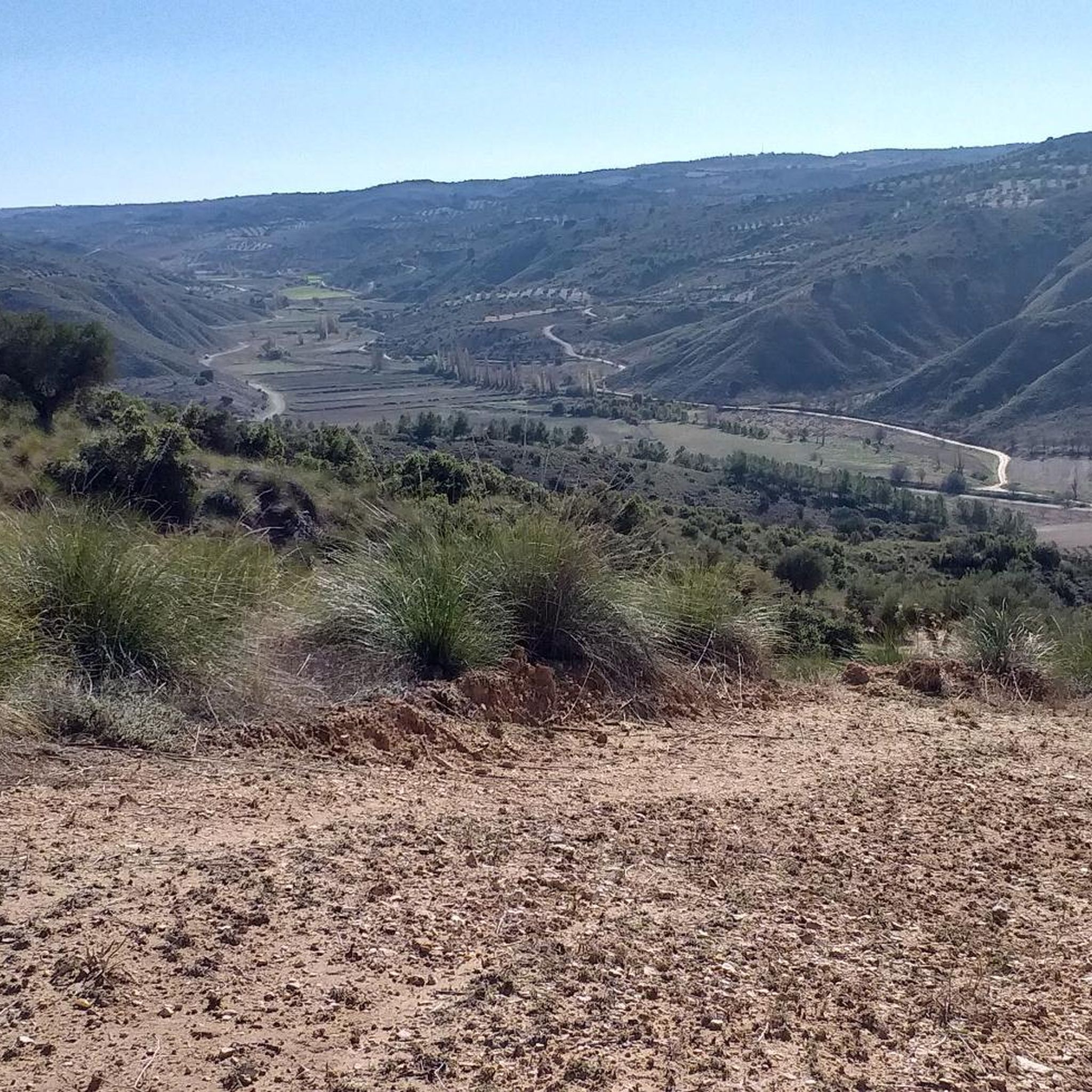
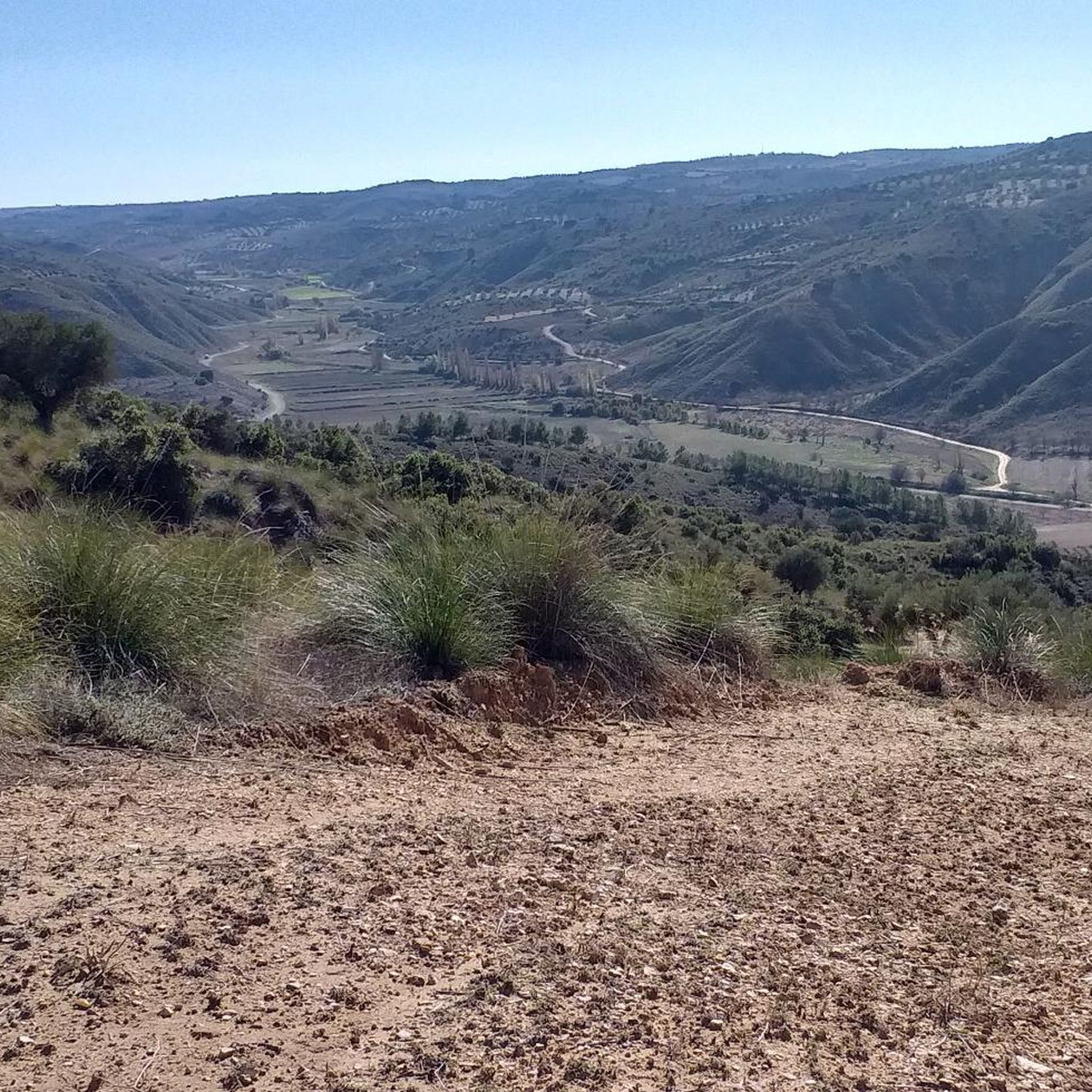
The walk along the hillside is fantastic, a true flight over the meadows, villages, and rural landscapes of the Tajuña River valley. The path runs along the mountainside and passes by the Fuente del Arce (Maple Spring), another of Tielmes' historic springs. It's located at the bottom of a ravine, with a stone wall and a spout with a small basin that is usually dry in summer. Nearby is the Fuente del Sacristán (Sacristan's Spring), somewhat hidden. Shortly after, the bench at the Mirador Vega del Tajuña (Tajuña Valley Viewpoint) appears in a clearing along the path, offering views of Tielmes, the meadow, and the hamlet of Valdilecha at the bottom of the Vega stream valley. The trail continues along the same path and begins the descent to the next viewpoint.
0
0
The sign marking the start of the Tielmes Viewpoints Route is at the junction of the San Isidro Hermitage and the Tajuña Greenway. The first kilometer of the climb is quite steep along a well-maintained rural track. The first viewpoint is nearby; it's called the "Most Beautiful Bench," and it features an interpretive lectern and a bench with the words "Tielmes Is Heart" emblazoned on the back. It faces the town of Tielmes and the Tajuña River valley, making for a pleasant stop after the initial climb. The viewpoint's information panel offers a description of the views entitled "A Landscape Shaped by Water," providing an introduction to the culture of water, the fertile plains, and the orchards of the Las Vegas region of Madrid. The route continues uphill along the Camino del Llano de las Cabras (Goat Plain Path), offering spectacular panoramic views. At the edge of the plateau, at the top of the steep climb, the main path continues straight ahead, while the Viewpoints Route veers off to the left.
0
0

Undoubtedly one of the most beautiful towns in southern Madrid, with a long-standing winemaking and agricultural tradition, its arcaded main square is a must-see.
0
0

Chinchón is located in the southeast of the Community of Madrid, nestled between the Tajuña and Tajo rivers. It is one of the most visited towns in Madrid; in fact, it appears on the list of the most beautiful towns in Spain. It was also one of the candidate towns to be the Capital of Rural Tourism in 2022. The most visited area is its Plaza Mayor, a porticoed square from the 15th and 16th centuries. Other highlights include the Castle of the Counts of Chinchón, the Lope de Vega Theater, the Clock Tower, the Convent of the Poor Clares, the five hermitages of San Antón, San Roque, Santa Ana, and those of Nuestra Señora del Rosario and Nuestra Señora de la Misericordia.
2
0

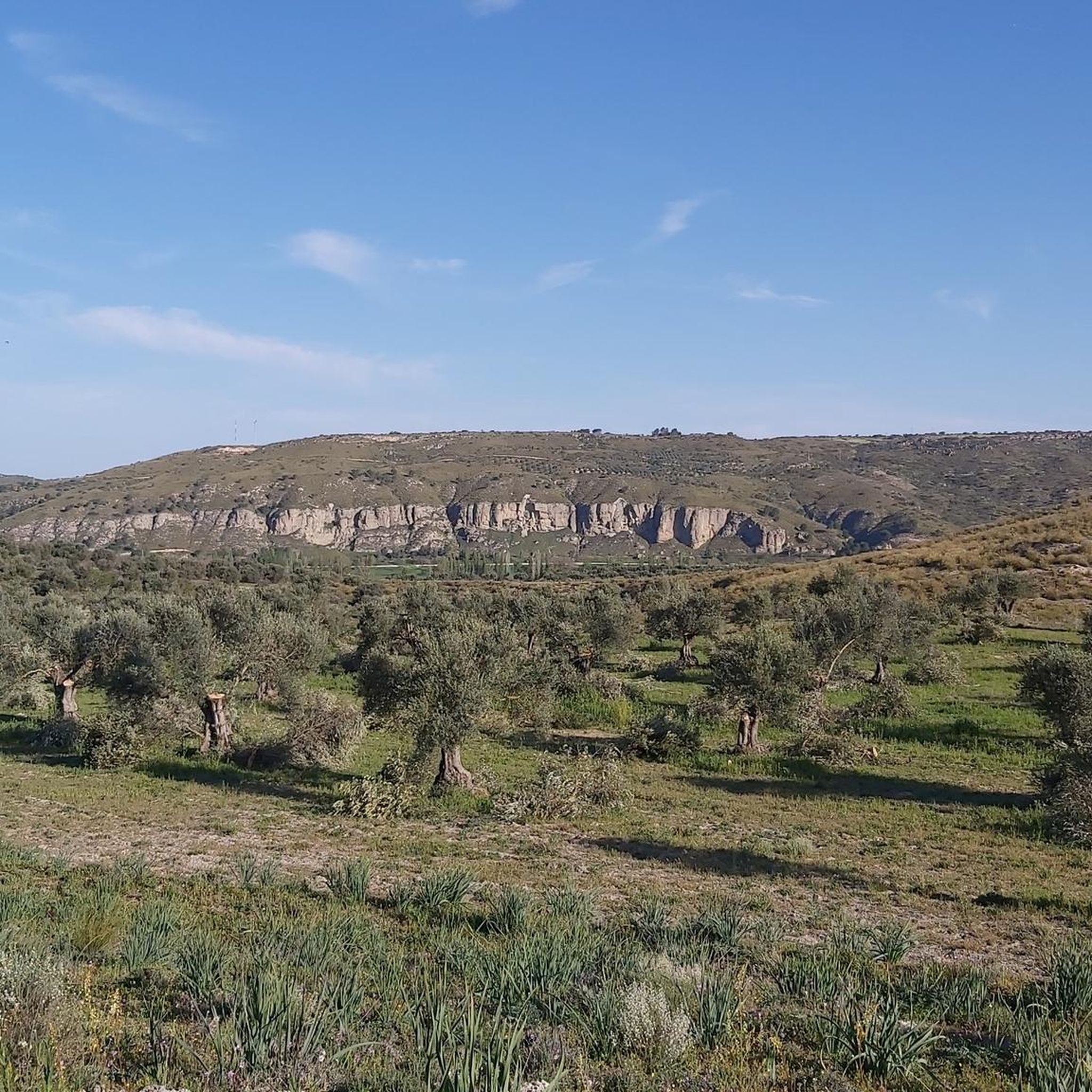
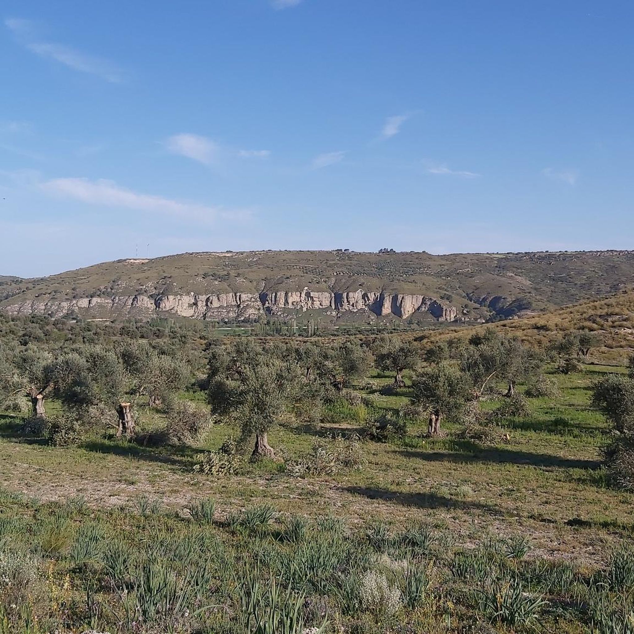
Located in the middle of a very steep slope with low-grip gravel, you can stop to admire the scenery and reflect on life in general...
0
0
Frequently Asked Questions
How many hiking trails are available in Villarejo De Salvanés?
There are over 45 hiking trails around Villarejo De Salvanés, offering a wide range of options for different skill levels and preferences. This includes 18 easy routes and 30 moderate trails, ensuring there's something for everyone.
Are there easy hiking trails suitable for beginners or families?
Yes, Villarejo De Salvanés offers a good selection of easy trails. For instance, the region features gentle strolls through agricultural mosaics and vineyards. While specific family-friendly routes aren't detailed, many of the 18 easy trails are suitable for those new to hiking or looking for a relaxed walk.
What kind of landscapes can I expect to see while hiking in Villarejo De Salvanés?
Hikers can expect diverse landscapes, including expansive dryland agricultural mosaics offering broad panoramic views, especially on routes like those leading to the Santa María site. You'll also find areas with esparto vineyards, ancient paths, and the unique stone pine forest of the Pinar de la Encomienda. The region's natural beauty is further influenced by the fertile plains of the Tajo and Tajuña rivers.
Are there any circular hiking routes in the area?
Yes, there are several circular routes available. A notable option is the Esparto Trail loop from Villarejo de Salvanés, which is a moderate 7.3-mile (11.8 km) trail leading through slopes populated by large esparto vines. Another is the Puente del Tajuña – Tajuña Greenway loop from Tielmes, offering riverine landscapes.
What are some unique natural features I might encounter on the trails?
You can explore the Pinar de la Encomienda, which is the last natural stone pine forest in the Community of Madrid, growing on gypsum with singular forest characteristics. The region also features the Arroyo de San Pedro, historically significant for the primitive settlement of Salvanés, and extensive esparto vineyards along ancient Roman paths.
Are there any historical landmarks or attractions to visit along the trails?
Many routes intertwine natural exploration with historical discovery. You can visit the historic town of Chinchón, known for its 15th and 16th-century Plaza Mayor and the Castle of the Counts of Chinchón. Other nearby attractions include the Castle of Villarejo de Salvanés and the Civil War Caves.
What is the best time of year to go hiking in Villarejo De Salvanés?
The region's climate is generally favorable for hiking for much of the year. Spring and autumn offer pleasant temperatures, ideal for exploring the agricultural mosaics and vineyards. Summers can be hot, so early mornings or late afternoons are recommended. Winter hikes are also possible, with the landscape taking on a different character.
Is parking available near the hiking trails?
While specific parking details for every trailhead are not provided, Villarejo De Salvanés and its surrounding towns typically offer public parking options. It's advisable to check local information for parking availability at your chosen starting point, especially in popular areas like Chinchón.
What do other hikers say about the trails in Villarejo De Salvanés?
The routes in Villarejo De Salvanés are highly rated by the komoot community, with an average score of 4.4 stars from over 25 reviews. Hikers often praise the varied terrain, from agricultural landscapes to unique pine forests, and the integration of historical sites into the routes.
Are there any longer or more challenging hikes for experienced hikers?
Yes, for those seeking more challenging options, routes like the Puente del Tajuña – Tajuña Greenway loop from Tielmes can extend up to 7.8 miles (12.5 km) with an elevation gain of over 830 feet (250 m), requiring good fitness. The Chinchón – Historic Center of Chinchón loop from Colmenar de Oreja is also a moderate 9.8-mile (15.7 km) trail.
Can I bring my dog on the hiking trails?
While many outdoor areas in Spain are dog-friendly, it's always recommended to keep dogs on a leash, especially in agricultural areas or near wildlife. Specific regulations for Villarejo De Salvanés trails are not detailed, so please observe local signage and be respectful of other hikers and the environment.
Are there options for public transport to reach the trailheads?
Villarejo De Salvanés is accessible by public transport, primarily bus services connecting it to Madrid and other nearby towns. Some trailheads might be reachable via these services, but direct access to all starting points may require a short walk or a local taxi. It's best to check specific bus routes and schedules for your desired trailhead.
Most popular routes around Villarejo De Salvanés
Most popular attractions around Villarejo De Salvanés

Get inspired with the komoot mobile app


Explore more
Browse the best Hikes in other regions.
