The best walks and hikes around San Cebrián De Campos
4.2
(10)
34
hikers
6
hikes
Hiking around San Cebrián De Campos offers accessible routes through the Tierra de Campos region of Palencia. The area is characterized by its largely flat to gently undulating agricultural landscapes, often referred to as the "Mar de Campos." Waterways such as the Carrión River and the Canal de Castilla traverse the municipality, providing scenic paths. These features create a tranquil setting suitable for various outdoor activities.
Best hiking trails around San Cebrián De Campos
- The most popular hiking route is…
Last updated: July 12, 2026
4.0
(1)
3
hikers
Easy hike. Great for any fitness level. Easily-accessible paths. Suitable for all skill levels.
11.7km
03:08
140m
140m
Explore history on this moderate 7.3-mile circular hike in Palencia, visiting the castles of Monzón de Campos and Fuentes de Valdepero.

Sign up for free
5.86km
01:30
20m
20m
Easy hike. Great for any fitness level. Easily-accessible paths. Suitable for all skill levels.
11.3km
02:52
20m
20m
Hike a moderate 7.0-mile (11.3 km) loop along the Ucieza River, exploring Camino de Santiago symbols in Tierra de Campos.
4.4
(9)
31
hikers
Hard hike. Very good fitness required. Easily-accessible paths. Suitable for all skill levels.
Our route recommendations are based on thousands of hikes, rides, and runs completed by other people on komoot.
Start today with a free account
Your next adventure awaits.
Login or Signup
Popular around San Cebrián De Campos
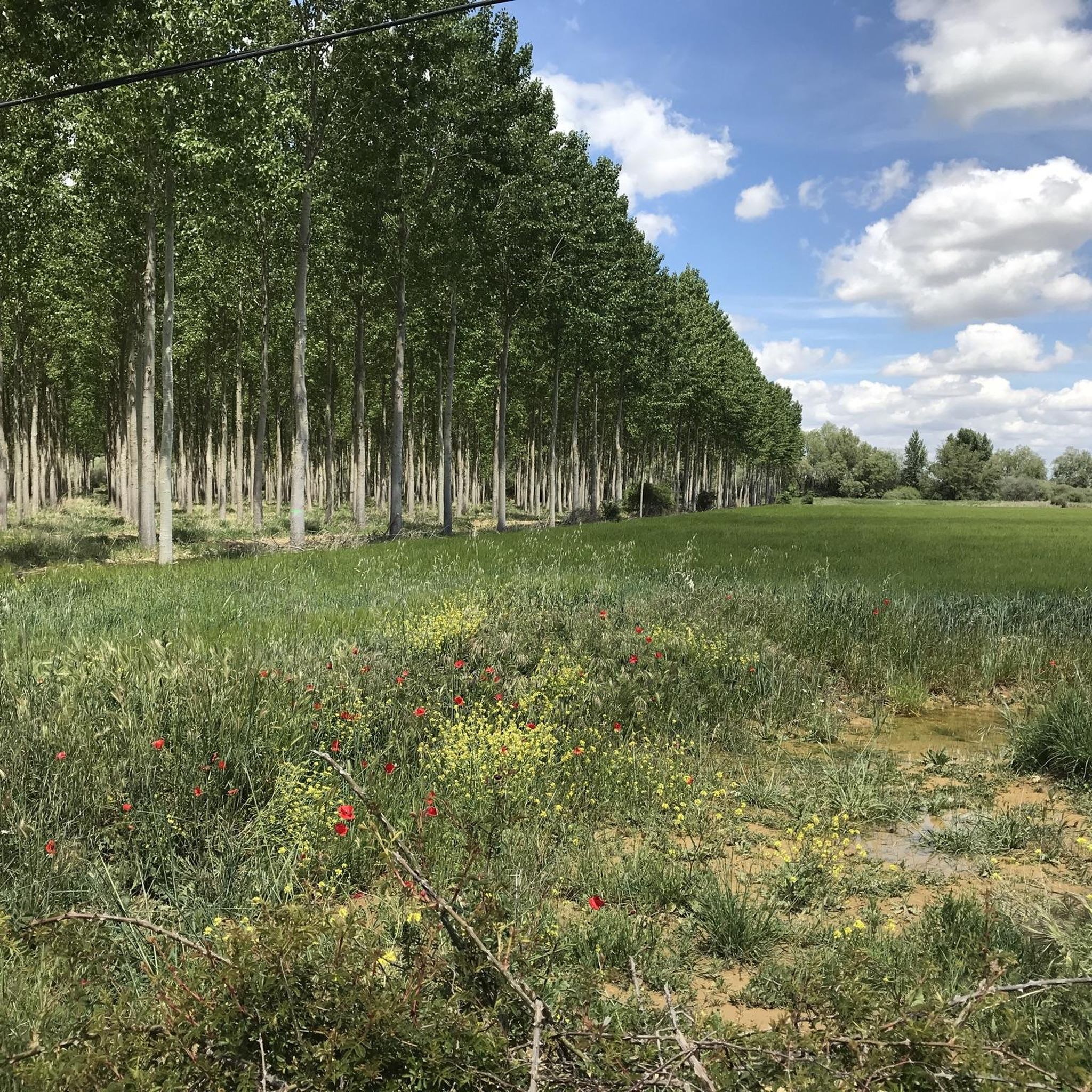
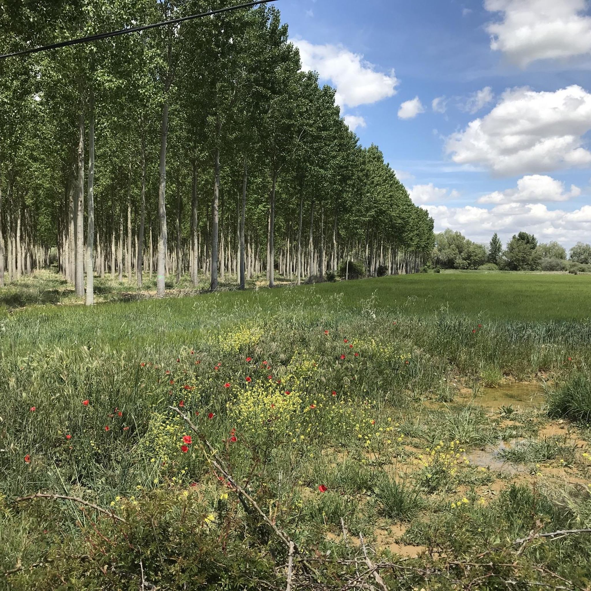

Tips from the Community

The views from the P-980 highway, especially in the area known as Los Coracoles in the Palentina Mountains, are truly spectacular and are part of the famous Ruta de los Pantanos (Wetlands Route).
1
0
The Statue of the Pilgrim in Carrión de los Condes is an emblematic monument located in Plaza Piña Merino, right at the entrance to the town if you're coming from Frómista, right on the Camino de Santiago. This bronze sculpture represents a traditional pilgrim, dressed in a cape and hat, and carrying the Jacobean symbols: the shell, the staff, and the calabash. It is a life-size figure that pays tribute to the thousands of pilgrims who pass through this historic town in Palencia each year.
2
0
The Statue of the Pilgrim in Carrión de los Condes is an emblematic monument located in Plaza Piña Merino, right at the entrance to the town if you're coming from Frómista, right on the Camino de Santiago. This bronze sculpture represents a traditional pilgrim, dressed in a cape and hat, and carrying the Jacobean symbols: the shell, the staff, and the calabash. It is a life-size figure that pays tribute to the thousands of pilgrims who pass through this historic town in Palencia each year.
1
0
Its origin dates back to August 15, 1101, when a flood destroyed the village of Tablares and swept away a Romanesque image of the Virgin. The residents found it on the riverbank and decided to build a sanctuary there, interpreting the discovery as a divine sign. The first church was Romanesque in style, although the current Baroque structure was rebuilt in 1713 by Francisco de Arratia Curiel.
3
0
Its origin dates back to August 15, 1101, when a flood destroyed the village of Tablares and swept away a Romanesque image of the Virgin. The residents found it on the riverbank and decided to build a sanctuary there, interpreting the discovery as a divine sign. The first church was Romanesque in style, although the current Baroque structure was rebuilt in 1713 by Francisco de Arratia Curiel.
4
0
The Hermitage of Our Lady of the River, located approximately 1 km northeast of Villalcázar de Sirga, next to the Ucieza River, is a place steeped in history, spirituality, and legend, closely linked to the French Way of St. James.
4
0
The Hermitage of Our Lady of the River, located approximately 1 km northeast of Villalcázar de Sirga, next to the Ucieza River, is a place steeped in history, spirituality, and legend, closely linked to the French Way of St. James.
3
0
Villalcázar de Sirga, in the province of Palencia, is a small town steeped in history, art, and spirituality, especially linked to the Templars and the Way of St. James. Originally called Villasirga, it appears in documents dating back to the 11th century. It was the seat of a Templar commandery, the only one in Castile, and its main church was built by the Knights Templar in the 13th century.
3
0
Frequently Asked Questions
How many hiking trails are available in San Cebrián De Campos?
There are over 5 hiking trails available around San Cebrián De Campos, offering a variety of experiences through the region's unique landscapes.
What kind of terrain can I expect on hikes around San Cebrián De Campos?
The terrain in San Cebrián De Campos is characterized by its largely flat to gently undulating agricultural fields, often referred to as the “Mar de Campos” (Sea of Fields). You'll find expansive views and tranquil paths, frequently alongside waterways like the Canal de Castilla or the Ucieza River.
Are there any easy hiking trails suitable for beginners or families?
Yes, San Cebrián De Campos offers several easy routes. For a gentle stroll, consider the Puente del Gallo y esclusas de Calahorra de Ribas — circular por el Canal de Castilla, an easy 4.1-mile (6.6 km) trail that follows the historic Canal de Castilla, showcasing its locks and bridges. Another easy option is Fromista and its locks of the Canal de Castilla, which is about 3.6 miles (5.8 km) long.
Can I find circular hiking routes in the area?
Absolutely. Many routes in the region are designed as loops. A popular circular option is the French Way Alternative Route Loop, which is a moderate 7.0-mile (11.3 km) trail leading through open fields and along sections of the Camino de Santiago.
What historical or cultural landmarks can I see while hiking?
The region is rich in history and culture. You can explore the historic Canal de Castilla with its impressive engineering, such as the Quadruple Lock of the Canal de Castilla or the Calahorra de Ribas Locks. Some trails also connect to the Camino de Santiago, offering glimpses of its symbols and heritage. Additionally, the Monzón de Campos and Fuentes de Valdepero Castles Trail allows you to explore surrounding countryside and historical castles.
Are the trails around San Cebrián De Campos suitable for dogs?
Given the open, agricultural nature of the landscape and the presence of waterways, many trails in San Cebrián De Campos are generally suitable for dogs. However, always ensure your dog is under control, especially near livestock or in areas frequented by other hikers and pilgrims. Check local regulations for specific routes.
What is the best time of year to go hiking in San Cebrián De Campos?
The spring and autumn months are generally ideal for hiking in San Cebrián De Campos. During these seasons, the weather is typically mild and pleasant, and the natural landscape is vibrant. Summers can be quite hot in the Tierra de Campos region, while winters can be chilly, so plan accordingly.
Are there any routes that offer views of the 'Mar de Campos'?
Yes, the entire region is known for its 'Mar de Campos' – vast, open agricultural landscapes. Many trails, such as the Statue of Pablo Payo Pérez – View of the Meseta loop from Villarmentero de Campos, offer expansive views across these fields, providing a sense of calm and wide-open spaces.
What do other hikers enjoy the most about hiking in San Cebrián De Campos?
The komoot community highly rates the hiking experience in San Cebrián De Campos, with an average score of 4.2 stars. Reviewers often praise the tranquil setting, the unique flat to gently undulating terrain, and the scenic paths along the historic Canal de Castilla and other waterways.
Are there any routes that are part of the Camino de Santiago?
Yes, San Cebrián de Campos lies within the sphere of influence of the Camino de Santiago. The French Way Alternative Route Loop, for example, leads through open fields and along sections that are part of this historic pilgrimage route, allowing you to experience its unique atmosphere.
Is parking available near the trailheads?
While specific parking information for every trailhead isn't always available, San Cebrián de Campos is a rural area. You can typically find parking in or near the village centers or at designated points along popular routes. It's advisable to check maps or local signage for the most convenient spots.
Most popular routes around San Cebrián De Campos
Most popular attractions around San Cebrián De Campos

Get inspired with the komoot mobile app


Explore more
Browse the best Hikes in other regions.
