The best walks and hikes around Göta och Nordre älvs dalgångars naturreservat
4.3
(204)
1,200
hikers
62
hikes
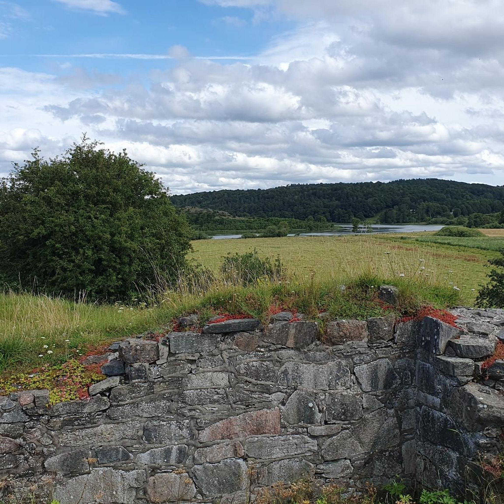
Hiking around Göta och Nordre älvs dalgångars naturreservat offers varied terrain along the Göta and Nordre Älv rivers. The landscape features rich fens, wetlands, and reed beds, shaped by the river system and underlying gneiss bedrock. Hikers can explore open land maintained by cattle grazing, with sensitive clay and silt soils contributing to the natural landscape. The area also incorporates historical sites such as medieval castle ruins and ancient forts.
Best hiking trails around Göta och Nordre älvs dalgångars naturreservat
…Last updated: July 9, 2026
5
hikers
5.33km
01:22
20m
20m
Easy hike. Great for any fitness level. Easily-accessible paths. Suitable for all skill levels.
4.7
(3)
75
hikers
7.62km
02:04
110m
110m
Moderate hike. Good fitness required. Easily-accessible paths. Suitable for all skill levels.

Sign up for free
5.0
(2)
35
hikers
12.0km
03:17
180m
180m
Moderate hike. Good fitness required. Easily-accessible paths. Suitable for all skill levels.
4.5
(2)
24
hikers
Easy hike. Great for any fitness level. Easily-accessible paths. Suitable for all skill levels.
3.5
(2)
13
hikers
3.64km
00:56
20m
20m
Easy hike. Great for any fitness level. Easily-accessible paths. Suitable for all skill levels.
Get access to more routes and recommendations from other explorers.
Sign up for free
Already have an account?
Our route recommendations are based on thousands of hikes, rides, and runs completed by other people on komoot.
Start today with a free account
Your next adventure awaits.
Login or Signup
Popular around Göta och Nordre älvs dalgångars naturreservat
Tips from the Community

No overnight accommodation! See: https://www.kungalv.se/kultur--fritid/boka-lokal/kolebackagarden/
0
0

Homeless people are living there they where nice but be cautious
0
0


Although the fortress is closed in winter, it is still worth visiting.
1
0

In the Middle Ages, Bohus Fortress was considered one of the largest, most massive and impregnable fortresses in Northern Europe. The fortress was the southernmost border fortress in Norway, built in 1308 by the Norwegian King Håkon V. Magnusson. The fortress is located on a 40 metre high cliff on the island of Bagaholmen. At that time, Bagaholmen was surrounded by the River Göta and lay at the intersection of the three neighbouring kingdoms (Norway to the west, Sweden to the east and Denmark to the south). From the fortress there was good control over shipping on the river.
0
0
A place to make a break with a incredible view to the Old Border between Kingdom of Sweden and Kingdom of Denmark
0
0
Walk around the fortress and listen to the walls telling their stories of kings, saints, power struggles, traitors and prisoners.
0
0
Frequently Asked Questions
How many hiking trails are available in Göta och Nordre älvs dalgångars naturreservat?
There are over 50 hiking routes in Göta och Nordre älvs dalgångars naturreservat. You'll find a good mix of options, with 27 easy trails, 28 moderate routes, and a couple of more challenging hikes to explore.
What kind of terrain can I expect when hiking in Göta och Nordre älvs dalgångars naturreservat?
Hikers can expect varied terrain, shaped by the Göta and Nordre Älv rivers. The landscape features rich fens, wetlands, and reed beds, crucial for diverse birdlife. You'll encounter open land, often maintained by cattle grazing, and areas influenced by the underlying gneiss bedrock and sensitive clay and silt soils.
Are there any easy hiking trails suitable for beginners or families?
Yes, the reserve offers several easy trails perfect for beginners or families. For example, the Idyllic Wooden Houses Street loop from Kungälv is a gentle 5.3 km route with minimal elevation gain. Another accessible option is the View of the Göta Canal – View of the Old Border River loop from Kungälv, which is 4.9 km and offers scenic river views.
What historical landmarks or attractions can I see along the trails?
The area is rich in history. You can explore the medieval castle ruin on Ragnhildsholmen, visit the ancient fort at Hakered, or see the significant remains of Kongahälla at Kastellegården. The imposing Bohus Fortress also forms a scenic backdrop, and some routes, like the View of the Old Border River – Bohus Fortress loop from Kungälv, offer direct views of it.
Are there any circular hiking routes in the reserve?
Many of the trails in Göta och Nordre älvs dalgångars naturreservat are designed as loops. Popular circular routes include the Fontin Lake – Ancient Burial Mounds loop from Kungälv, which is a moderate 7.6 km, and the Fontin Lake – Bohus Fortress loop from Kungälv, an 8.1 km moderate hike.
What is the best time of year to go hiking in Göta och Nordre älvs dalgångars naturreservat?
The reserve is enjoyable year-round, but calm summer evenings are particularly pleasant, with the air often filled with the sounds of various birds. Spring and autumn also offer beautiful scenery and comfortable hiking temperatures. Be aware that the geological makeup with clay and silt soils means landslides are a natural part of the landscape's formation, so always check local conditions.
Is Göta och Nordre älvs dalgångars naturreservat accessible by public transport?
The reserve's proximity to urban areas like Gothenburg makes it relatively accessible. While specific public transport routes to trailheads may vary, Kungälv serves as a common starting point for many hikes and is well-connected.
What do other hikers enjoy most about hiking in Göta och Nordre älvs dalgångars naturreservat?
The area is highly rated by the komoot community, with an average score of 4.4 stars from over 180 reviews. Hikers often praise the varied river landscapes, the rich biodiversity, and the combination of natural beauty with significant historical sites like the Bohus Fortress and ancient ruins.
Are dogs allowed on the hiking trails in Göta och Nordre älvs dalgångars naturreservat?
Generally, dogs are welcome in Swedish nature reserves, but they must be kept on a leash to protect wildlife and other visitors. Always check specific signage at trailheads for any local regulations or restrictions that might apply within the reserve.
Are there any viewpoints or scenic spots along the trails?
Yes, many trails offer scenic views, particularly over the Göta and Nordre Älv rivers. Routes like the View of the Göta Canal – View of the Old Border River loop from Kungälv are specifically named for their vistas. The ruins on Ragnhildsholmen also provide excellent views over the river.
What kind of wildlife can I expect to see?
The wetlands and reed beds are crucial for diverse birdlife, making the reserve an excellent spot for birdwatching, especially during calm summer evenings. The varied landscape also supports other local fauna, though specific sightings can depend on the season and time of day.
Most popular routes around Göta och Nordre älvs dalgångars naturreservat

Get inspired with the komoot mobile app


Explore more
Browse the best Hikes in other regions.
