The best MTB trails around Bellver De Cerdanya
4.3
(62)
1,169
riders
56
rides
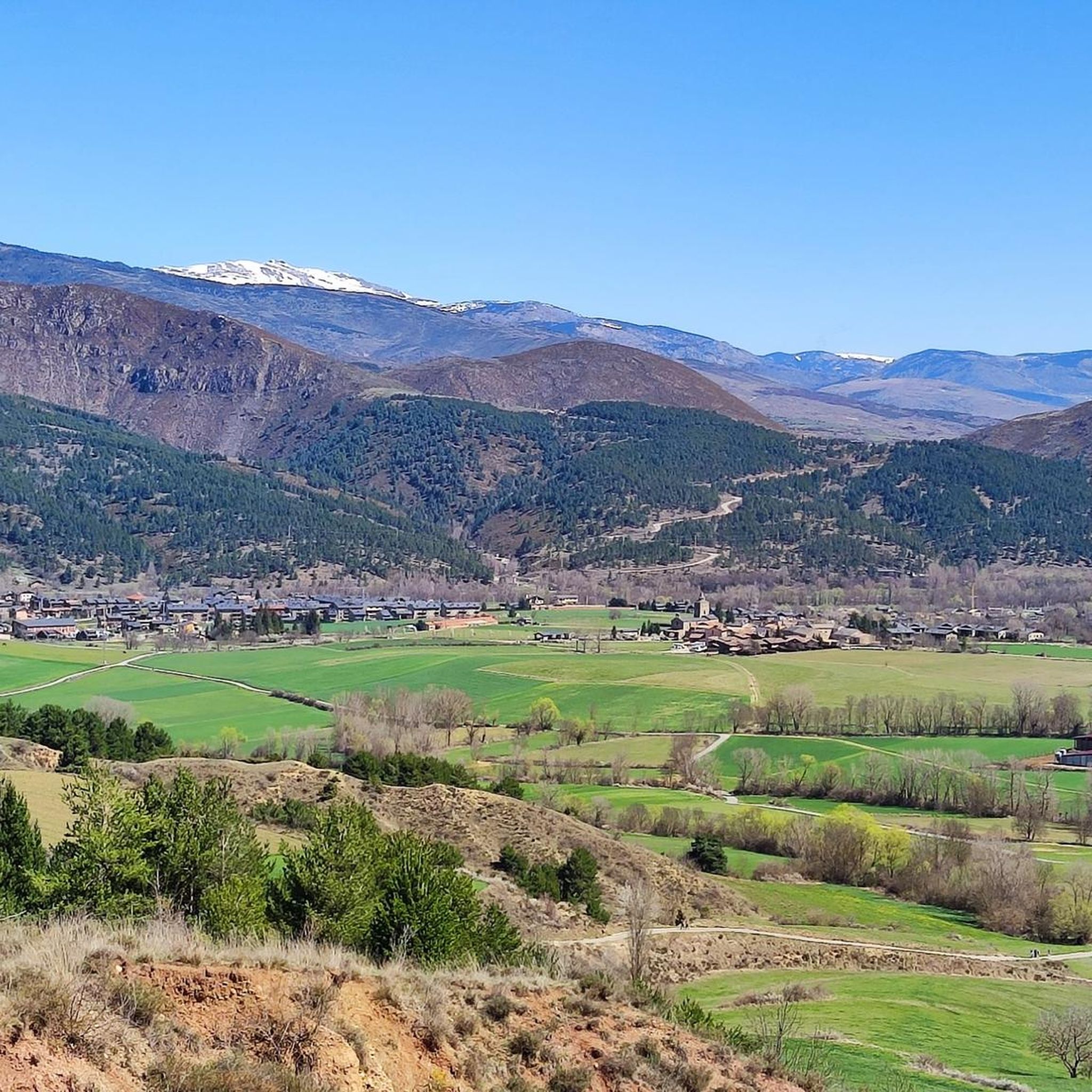
Mountain biking around Bellver De Cerdanya offers diverse terrain within the Spanish Pyrenees, serving as a gateway to the Cadí-Moixeró Natural Park. The region features a variety of ecosystems, including alpine, fluvial, steppe, and forest areas with Spanish pine, Scots pine, and fir trees. Riders encounter varied terrain, from fast sections and stony paths to rooty areas and demanding singletracks, with significant ascents and descents. This landscape provides a challenging and rewarding experience for mountain bikers.
Best mountain bike trails around Bellver De Cerdanya
- The most popular mountain bike trail is Estanys de la Pera Loop from Bellver de Cerdanya, a 47.9 miles (77.2 km) trail that takes 8 hours 20 minutes to complete. This difficult route features substantial elevation gain through mountainous landscapes.
- Another top favourite among local mountain bikers is Gònec Trail – Trail 816 loop from Bellver de Cerdanya, a difficult 18.9 miles (30.5 km) path. This route includes technical sections and significant climbs through varied forest terrain.
- Local mountain bikers also love the Cap del Ras Viewpoint – Gònec Trail loop from Isòvol, a 26.7 miles (43.1 km) trail leading through the Pyrenees peaks and offering panoramic views, often completed in about 4 hours 40 minutes.
- Mountain biking around Bellver De Cerdanya is defined by the majestic Central Catalan Pyrenees peaks, diverse forest areas, and challenging singletracks. The network offers options for easy, moderate, and difficult routes, catering to various ability levels.
- The routes in Bellver De Cerdanya are highly rated by the komoot community with an average score of 4.3 stars from over 50 reviews. More than 1000 mountain bikers have used komoot to explore Bellver De Cerdanya's varied terrain.
Last updated: August 17, 2026
2
riders
77.2km
08:20
2,500m
2,500m
Tackle the difficult 48.0-mile Estanys de la Pera Loop from Bellver de Cerdanya, a challenging mountain bike ride with stunning Pyrenean vie
4.7
(7)
218
riders
30.5km
03:15
910m
910m
Hard mountain bike ride. Very good fitness required. Suitable for all skill levels.

Sign up for free
2.0
(1)
130
riders
43.6km
04:30
1,330m
1,330m
Hard mountain bike ride. Very good fitness required. Advanced riding skills necessary. Some portions of the route may require you to push your bike.
4.3
(17)
70
riders
38.4km
02:52
340m
340m
Moderate mountain bike ride. Good fitness required. Advanced riding skills necessary.
4.8
(4)
73
riders
48.8km
05:14
1,580m
1,580m
Hard mountain bike ride. Very good fitness required. Suitable for all skill levels.
Get access to more routes and recommendations from other explorers.
Sign up for free
Already have an account?
Our route recommendations are based on thousands of hikes, rides, and runs completed by other people on komoot.
Start today with a free account
Your next adventure awaits.
Login or Signup
Popular around Bellver De Cerdanya
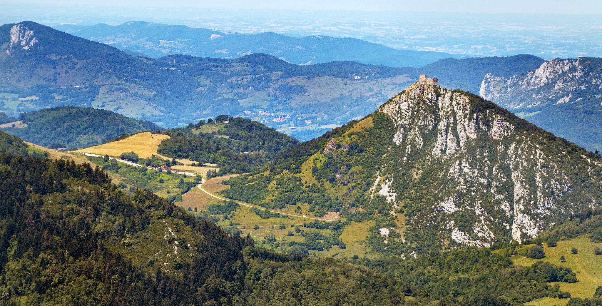
Cathar Route from Catalonia to France – Bons Homes Path (GR 107)
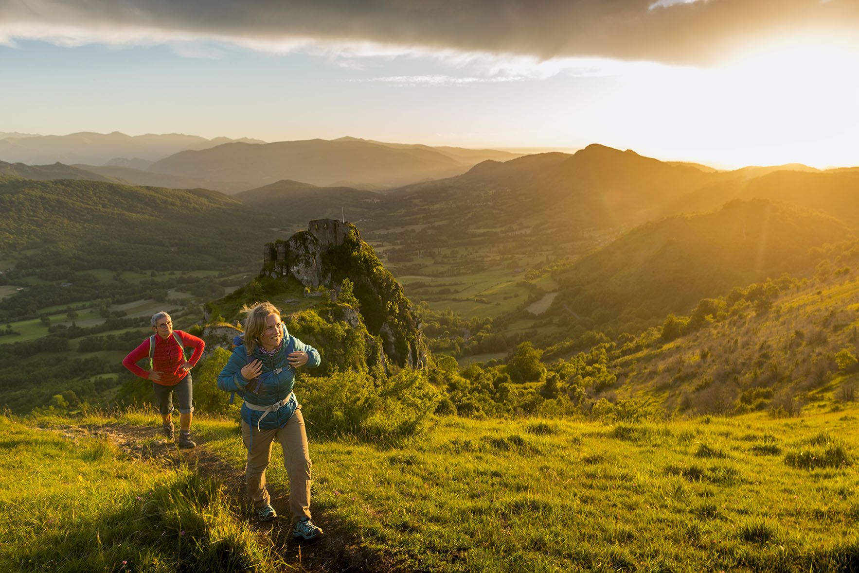
The chemin des Bonshommes — a journey between France and Spain
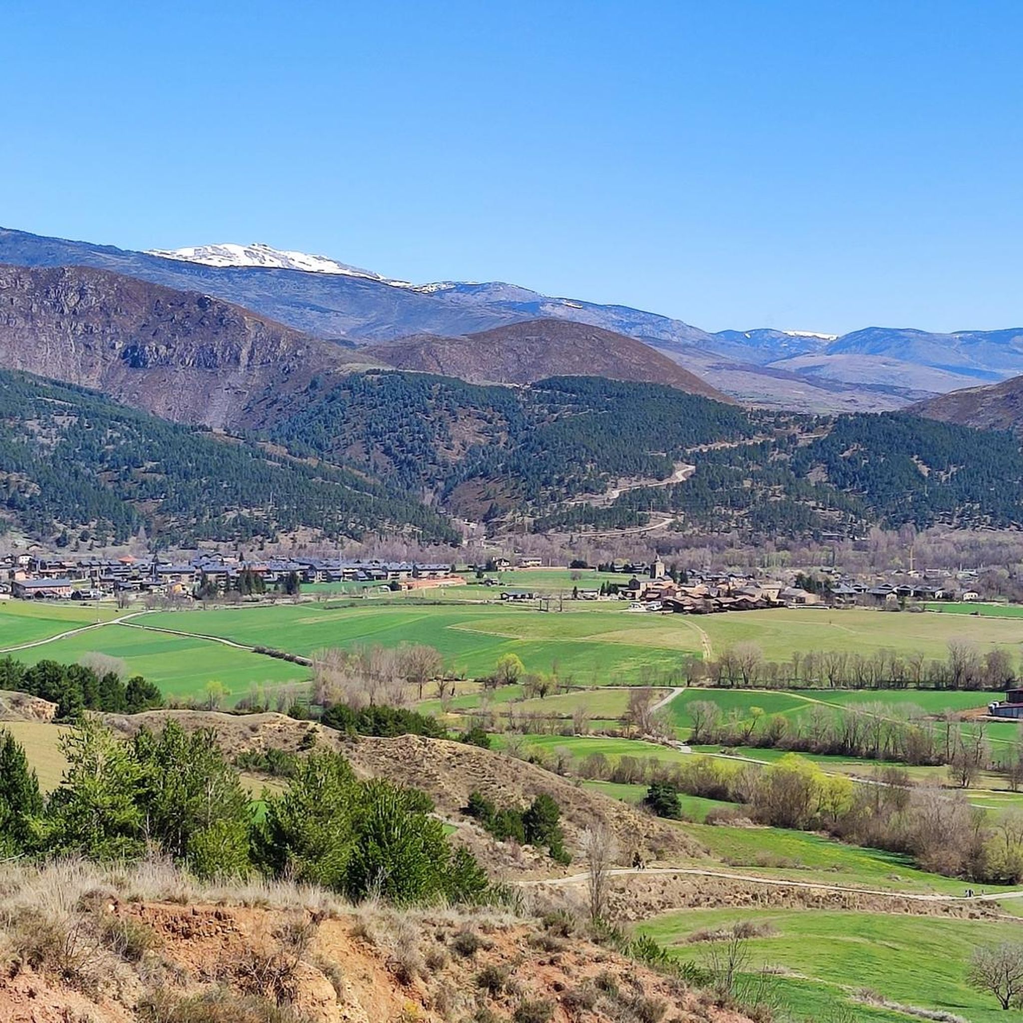
Road Cycling Routes around Bellver De Cerdanya
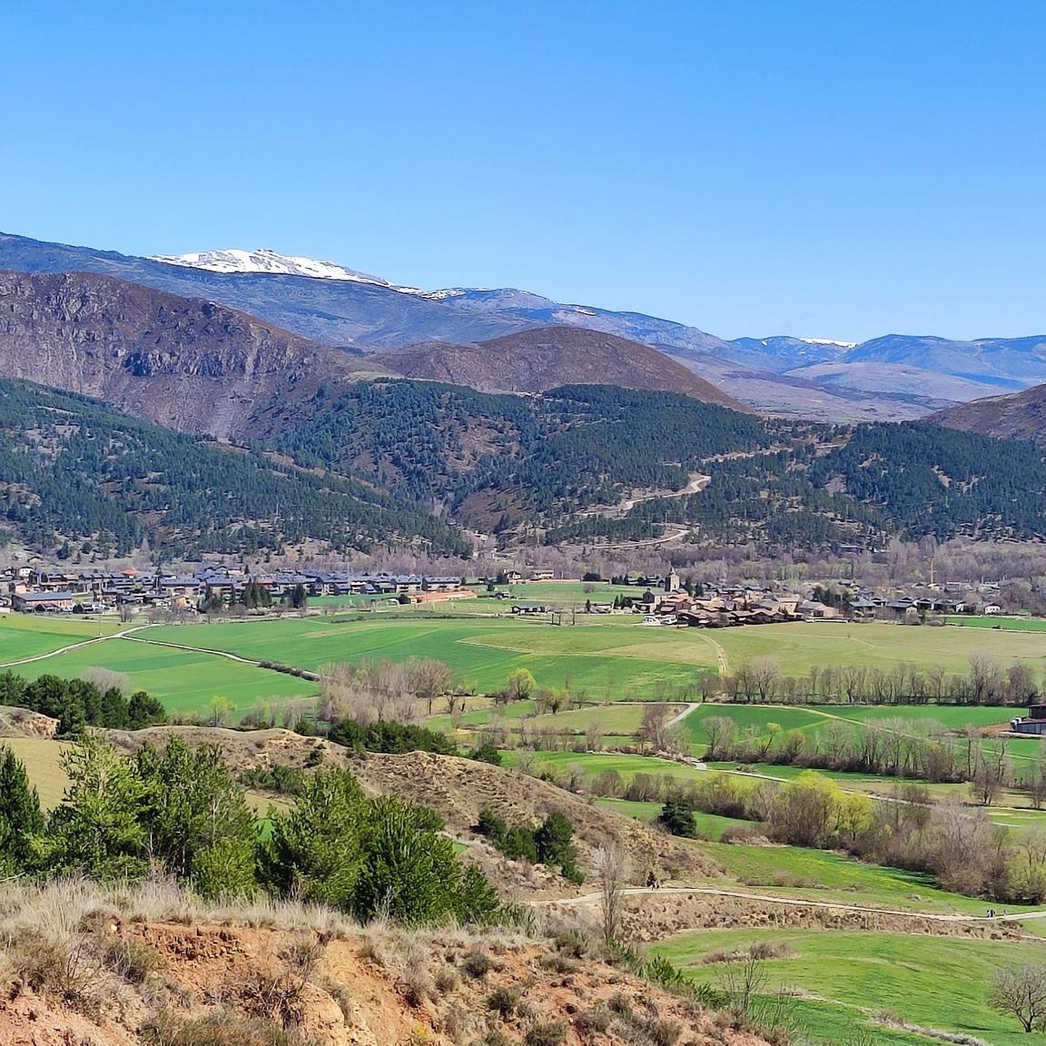
Hiking around Bellver De Cerdanya
Cycling around Bellver De Cerdanya
Running Trails around Bellver De Cerdanya
Gravel biking around Bellver De Cerdanya

Mountain Hikes around Bellver De Cerdanya


Tips from the Community

Guarded refuge where you can stop to eat or drink water.
0
0
Small refuge located in a beautiful place. The climb through the Vall de l'Ingla is quite tough, about 14km and 800m of elevation gain. From the refuge you can go to Coll de Pendis.
0
0
Free refuge located at the top of Torrent de Pi. The refuge inside is a bit dirty but has two rooms with bunk beds, a table, and a fireplace.
0
0
Located in one of the most beautiful corners of the Cadí mountain range, on the northern slope of the spectacular Pas dels Gosolans, the Prat de Aguiló refuge was inaugurated in 1976. It is part of the popular Cavalls del Vent crossing and the Alta Ruta del Cadí, which run through all the refuges in the Cadí Natural Park.
0
0

Small Romanesque church located on a plateau with open views of the Cadí and the Segre valley. It retains its original structure and exudes a beautiful simplicity, surrounded by meadows and silence. It is a perfect place to take a break and feel the calm of the mountain. By mountain bike, access is by track with some rocky sections but without excessive difficulty. Tip: take the opportunity to have a drink or take a photo before facing the next climb; the morning light here is especially beautiful.
0
0
One of the most magical places in the eastern Pyrenees, surrounded by alpine meadows, fir trees, and the two lakes that give it its name. At almost 2,350 meters above sea level, the refuge offers food, accommodation, and postcard-perfect views. It's a gateway to the Perafita pass and the cross-border routes with Andorra. By mountain bike, the climb from Cap del Rec is demanding but spectacular: a wide track, rocky sections, and sustained gradients. The best approach is to take it easy, maintain a steady cadence, and savor the final reward: the reflection of the mountains in the lakes, with the sound of the wind and cows as your only companions.
0
0
A free mountain refuge nestled among black pine forests and high meadows, with sweeping views of the Segre Valley. It's a peaceful spot, ideal for sheltering from the wind or taking a break on routes that connect to Cap del Rec or Tossa Plana. The surroundings retain the pure silence of the upper Cerdanya region. By mountain bike, the final approach is via a stony track with a slight incline; it's advisable to lower the saddle and maintain control on the subsequent descent, as ruts and loose stones can be treacherous if you're riding too fast.
0
0
Located at an altitude of 1,960 meters, this refuge is a key point for cyclists and hikers heading towards the Tossa Plana de Lles or the Nordic ski slopes. The refuge combines a mountain atmosphere with comfortable amenities: a bar, a dining room, and a terrace with open views of the Cadí mountain range. It's a good place to stop, have a hot meal, or adjust your bike before continuing the climb. For mountain biking, the track from Lles has an uneven surface and rocky sections; tires with good grip are recommended, as is maintaining a constant cadence, especially on the final bends where the gradient is noticeable.
0
0
Frequently Asked Questions
How many mountain bike trails are available around Bellver de Cerdanya?
There are over 50 mountain bike trails around Bellver de Cerdanya, offering a wide range of experiences for different skill levels. You'll find options from easy to difficult, catering to various preferences.
Are there mountain bike trails suitable for beginners in Bellver de Cerdanya?
Yes, Bellver de Cerdanya offers trails suitable for beginners. While many routes feature challenging terrain, there are 9 easy routes available. These typically have less elevation gain and technical sections, providing a good starting point for new riders.
What kind of terrain can I expect on mountain bike trails in Bellver de Cerdanya?
The terrain around Bellver de Cerdanya is highly varied, reflecting its location in the Spanish Pyrenees. Riders can expect a mix of fast sections, stony paths, rooty areas, and demanding singletracks. The region also features significant ascents and descents through diverse ecosystems, including alpine, fluvial, steppe, and forest areas with Spanish pine, Scots pine, and fir trees.
Are there any circular mountain bike routes in Bellver de Cerdanya?
Yes, many of the mountain bike routes around Bellver de Cerdanya are designed as loops. For example, the challenging Estanys de la Pera Loop from Bellver de Cerdanya and the Gònec Trail – Trail 816 loop from Bellver de Cerdanya are popular circular options that allow you to start and finish in the same location.
What are some scenic viewpoints or landmarks accessible by mountain bike in the area?
Many trails lead to spectacular viewpoints. The Cap del Ras Viewpoint – Gònec Trail loop from Isòvol, for instance, takes you to the Cap del Ras viewpoint, offering expansive views of the Cerdanya Valley and surrounding peaks. Other notable natural features in the region include the iconic Roca Foradada in the Pi Valley and the Molí del Salt waterfall in Vall de la Llosa.
Are there any family-friendly mountain bike trails around Bellver de Cerdanya?
While many routes are challenging, there are easier options that can be more suitable for families. Look for routes designated as 'easy' on komoot, which typically have less technical difficulty and elevation. The tranquil Les Basses de Gallissà near the Segre River offers a peaceful setting that might be suitable for a relaxed family ride.
What is the best time of year for mountain biking in Bellver de Cerdanya?
The best time for mountain biking in Bellver de Cerdanya is generally from late spring to early autumn (May to October). During these months, the weather is typically milder, and the trails are more accessible. Winter can bring snow and colder temperatures, making many higher-altitude trails impassable or requiring specialized equipment.
What do other mountain bikers say about the trails in Bellver de Cerdanya?
The mountain bike trails around Bellver de Cerdanya are highly rated by the komoot community, with an average score of 4.3 stars from over 50 reviews. Riders often praise the diverse terrain, the challenging singletracks, and the stunning panoramic views of the Pyrenees.
Are there any interesting natural attractions or caves near the mountain bike routes?
Yes, the region is rich in natural attractions. The Cadí-Moixeró Natural Park itself is a highlight. You can explore caves like the Cova d'Anes, known for caving, or the extensive subterranean labyrinths of Cova de la Fou near Bor. The Vall de l'Ingla also features a large rocky cliff with prehistoric cave paintings, a UNESCO World Heritage Site.
Can I find mountain passes or summits to explore near the trails?
Absolutely. The area is surrounded by impressive mountain passes and summits. You can find highlights such as Port d'Envalira, Gosolans Pass, and Coll de Josa (1620 m). For those seeking higher peaks, Puigpedrós Summit (2,911 m) and Penyes Altes del Moixeró are also nearby.
Are there any refuges or huts along the mountain bike routes for breaks or overnight stays?
Yes, there are refuges in the surrounding mountains that can serve as points of interest or rest stops. Notable ones include Niu de l'Àliga Refuge and Prat d'Aguiló Refuge. Always check their availability and services in advance if planning a stop.
What is a moderately difficult mountain bike trail I could try?
A good moderately difficult option is the Estret d'Isòvol Trail – Trail to the Bridge loop from Bellver de Cerdanya. This route covers about 38.4 km with manageable elevation gain, offering a balanced challenge without being overly technical.
Most popular routes around Bellver De Cerdanya
Most popular attractions around Bellver De Cerdanya

Get inspired with the komoot mobile app


Explore more
Browse the best MTB trails in other regions.
