The best running trails around La Font De La Figuera
105
runners
14
runs
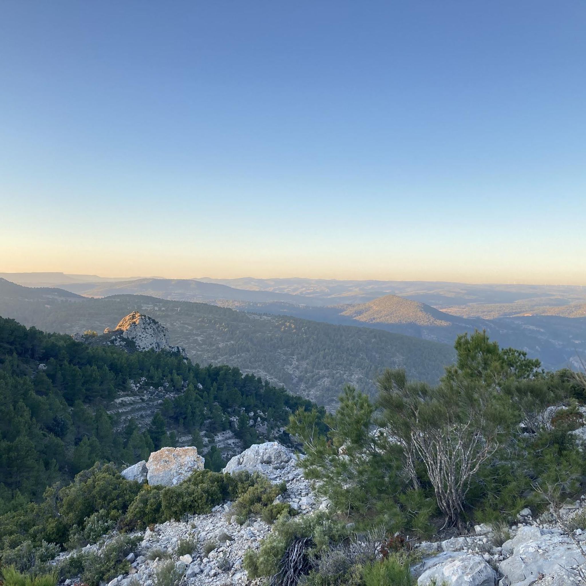
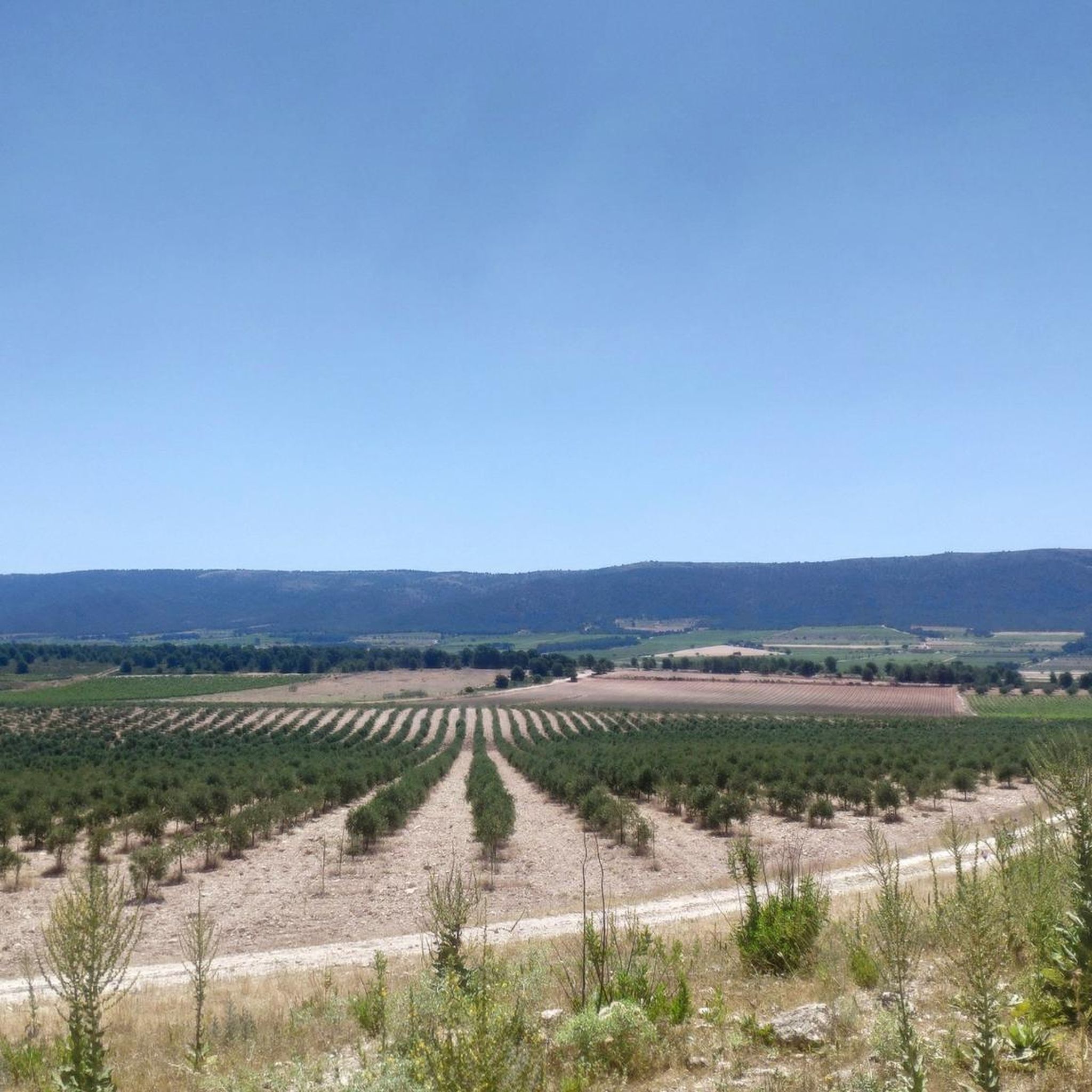
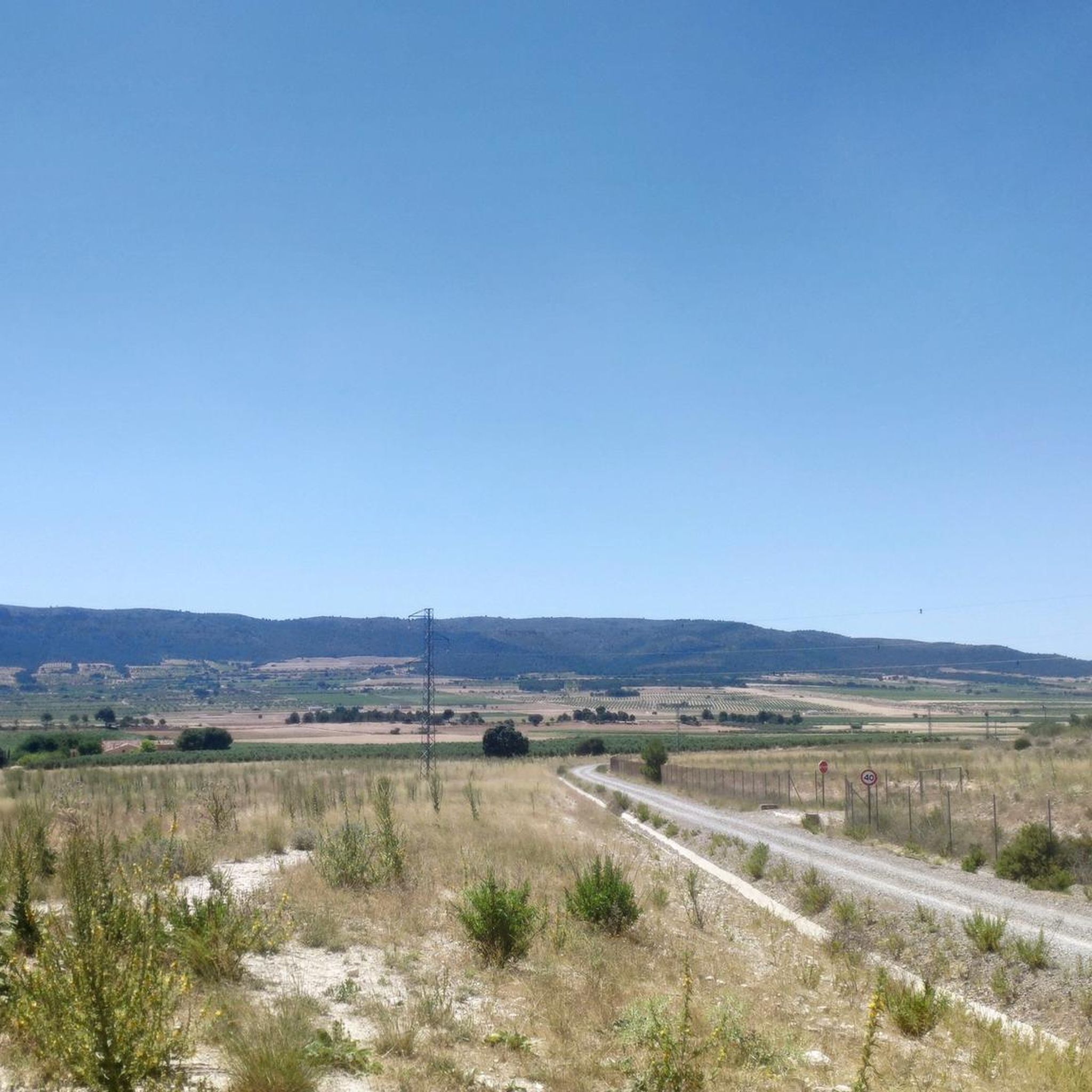
Jogging routes around La Font De La Figuera traverse a diverse landscape in the province of Valencia, Spain. The region is characterized by mountainous terrain, including peaks like Capurutxo (901m) and Peña Foradada (978m), which are part of the Serra Grossa range. Joggers will find forested areas, such as those near Balseta Pijirri, alongside extensive vineyards and dry farming landscapes that offer varied inclines and scenic views. The average altitude of 553 meters above sea level contributes to a range…
Last updated: July 11, 2026
30
runners
14.2km
01:47
360m
360m
Hard run. Very good fitness required. Sure-footedness, sturdy shoes and alpine experience required.
13
runners
13.0km
01:53
560m
560m
Hard run. Very good fitness required. Mostly paved surfaces. Suitable for all skill levels.

Sign up for free
21
runners
21.2km
02:49
680m
680m
Hard run. Very good fitness required. Mostly accessible paths. Some sure footedness required.
8
runners
8.96km
01:20
440m
440m
Hard run. Very good fitness required. Mostly paved surfaces. Suitable for all skill levels.
5
runners
14.1km
01:30
150m
150m
Moderate run. Good fitness required. Mostly paved surfaces. Suitable for all skill levels.
Get access to more routes and recommendations from other explorers.
Sign up for free
Already have an account?
Our route recommendations are based on thousands of hikes, rides, and runs completed by other people on komoot.
Start today with a free account
Your next adventure awaits.
Login or Signup
Popular around La Font De La Figuera
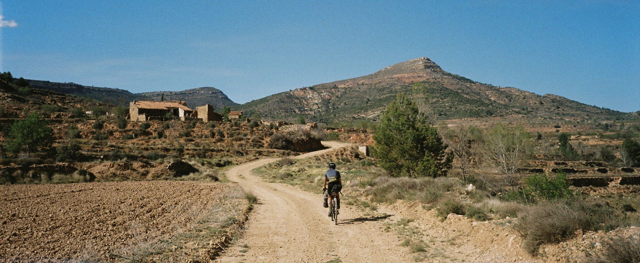
Path of the Tasters - Bikepacking in the Valencian ranges
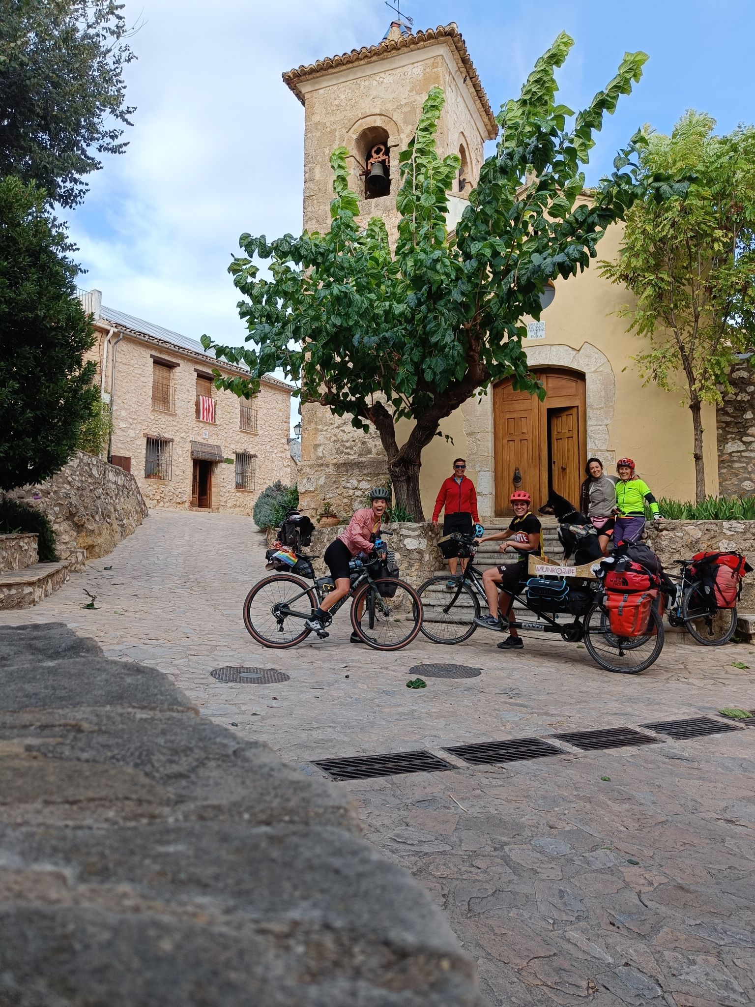
Community ride through the east of Spain – an autumn adventure
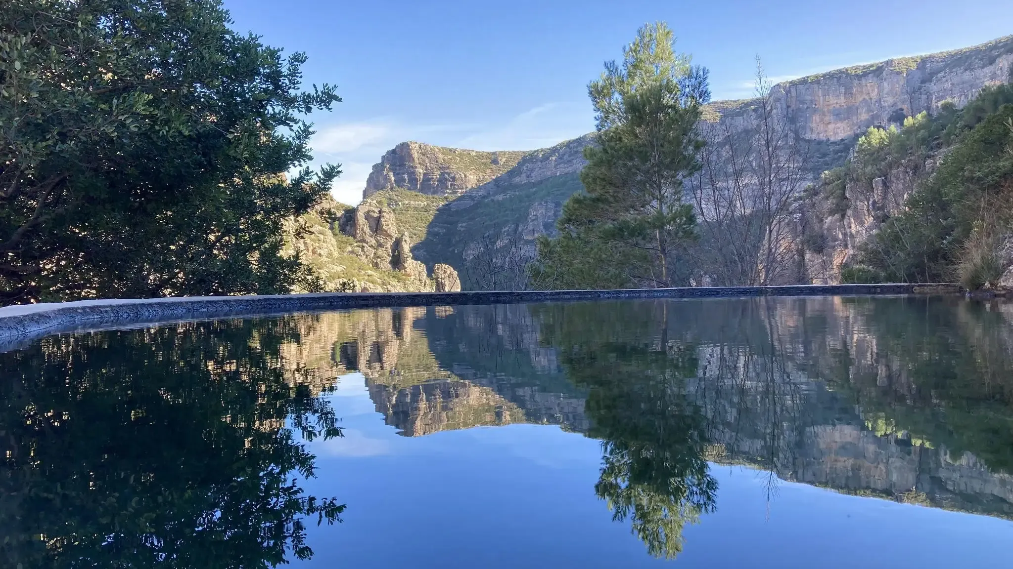
The hidden gem of Valencia – Caroig Massif (GR 237)
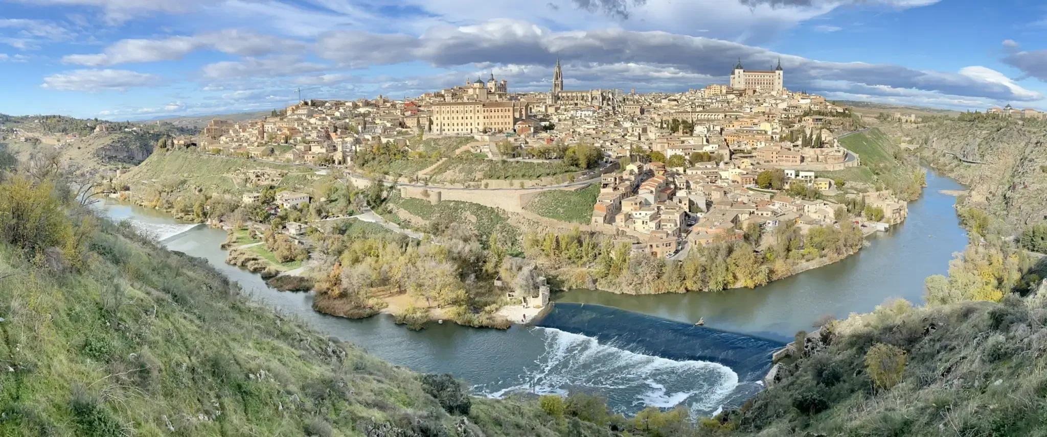
A journey to the interior of the Iberian Peninsula – Levante Way (GR 239)
Hiking around La Font De La Figuera
MTB Trails around La Font De La Figuera
Cycling around La Font De La Figuera
Road Cycling Routes around La Font De La Figuera

Gravel biking around La Font De La Figuera
Other adventures around La Font De La Figuera


Tips from the Community

To visit it, you have to climb a fairly steep slope. Of course, the effort is compensated once you reach the top. The views of the valley and the mountains on the horizon are very beautiful.
0
0

Deviating about 45 m in the NW direction you will find the Cueva Santa, a notable point on the route, it is located on one of the cliffs of the Capurutxo mountain range. It is a very visited cave, since its first section does not require any technical equipment.
2
0
The emblematic peak and cross of Capurutxo at 901 meters above sea level with spectacular views of the entire region.
3
0

It is a religious site with beautiful views of the town.
1
0
Frequently Asked Questions
How many running routes are available in La Font De La Figuera?
There are over 10 running routes around La Font De La Figuera listed on komoot, offering a variety of experiences for different fitness levels. These include routes through mountainous terrain, forested areas, and picturesque vineyards.
What kind of terrain can I expect on the jogging trails in this region?
The jogging trails in La Font De La Figuera feature diverse terrain. You'll encounter mountainous areas with significant peaks like Capurutxo and Peña Foradada, serene forested sections, and extensive vineyards. The average altitude of 553 meters above sea level means routes often include varied inclines and elevation changes.
Are there any easy or moderate running routes for beginners in La Font De La Figuera?
Yes, while many routes are challenging, there are options for less experienced runners. For example, the Running loop from La Encina is a moderate 14 km (8.7 miles) trail. Another moderate option is the Running loop from la Font de la Figuera, which is shorter at 4 km (2.5 miles).
What are some notable natural features or landmarks I might see while running?
The region boasts several natural features and historical sites. You might encounter peaks like Capurutxo and Peña Foradada offering panoramic views. Other points of interest include the serene Balseta Pijirri with its spring, and the picturesque vineyards. For specific landmarks, consider visiting the Hermitage of Santa Bárbara or exploring the La Cueva Santa.
Are there any circular running routes available?
Yes, many of the running routes in La Font De La Figuera are circular, allowing you to start and end at the same point. Examples include the challenging Running loop from Fontanars dels Alforins (14.2 km) and the El Capurutxo loop from la Font de la Figuera (9.3 km).
Can I bring my dog on the running trails in La Font De La Figuera?
Generally, dogs are welcome on many outdoor trails in Spain, especially in natural, less regulated areas. However, it's always advisable to keep your dog on a leash, especially in areas with wildlife or near agricultural land, and to check for specific local regulations at trailheads or visitor centers if available.
What is the best time of year to go running in La Font De La Figuera?
La Font De La Figuera offers good conditions for outdoor activities for much of the year. Spring and autumn generally provide the most pleasant temperatures for running. Summers can be hot, especially at midday, so early morning or late afternoon runs are recommended. Winters are typically mild, making it possible to run year-round, though higher elevations might be cooler.
Are there any long-distance running options for experienced athletes?
Absolutely. For experienced runners seeking a significant challenge, the Sester del Vaso loop from Fontanars dels Alforins is a difficult 21.3 km (13.2 miles) route with substantial elevation gain, providing a demanding experience and expansive views.
Are there any trails that pass by interesting historical sites?
Yes, some routes may lead you near historical sites. The region has archaeological sites like Cova de la Balconada and Cova Santa, and the Hermitage of Saint Barbara. The La Bastida de les Alcusses is another significant historical site in the vicinity that could be explored in conjunction with a run.
What kind of views can I expect on the running routes?
The running routes in La Font De La Figuera offer diverse and rewarding views. You can expect panoramic vistas from mountain peaks like Capurutxo and Peña Foradada, especially from Alt de la Silla. Many trails also traverse picturesque vineyards and dry farming landscapes, providing a mosaic of cultivated lands and natural beauty.
Are there any specific areas known for dense forests or shade?
Yes, natural sites like 'Balseta Pijirri' are nestled among pine trees, offering a serene and shaded environment. 'El Regaixo' is another forested area with recreational facilities, suggesting well-maintained paths that provide shade, which can be particularly pleasant during warmer months.
Is public transport available to reach the trailheads?
While La Font De La Figuera is a municipality with some local services, specific public transport options directly to all trailheads might be limited. It's generally recommended to check local bus schedules or consider driving to reach the starting points of the routes, especially those located further from the town center.
Most popular routes around La Font De La Figuera
Most popular attractions around La Font De La Figuera

Get inspired with the komoot mobile app


Explore more
Browse the best Running Trails & Routes in other regions.
