The best running trails around Navalafuente
4.6
(24)
1,674
runners
120
runs
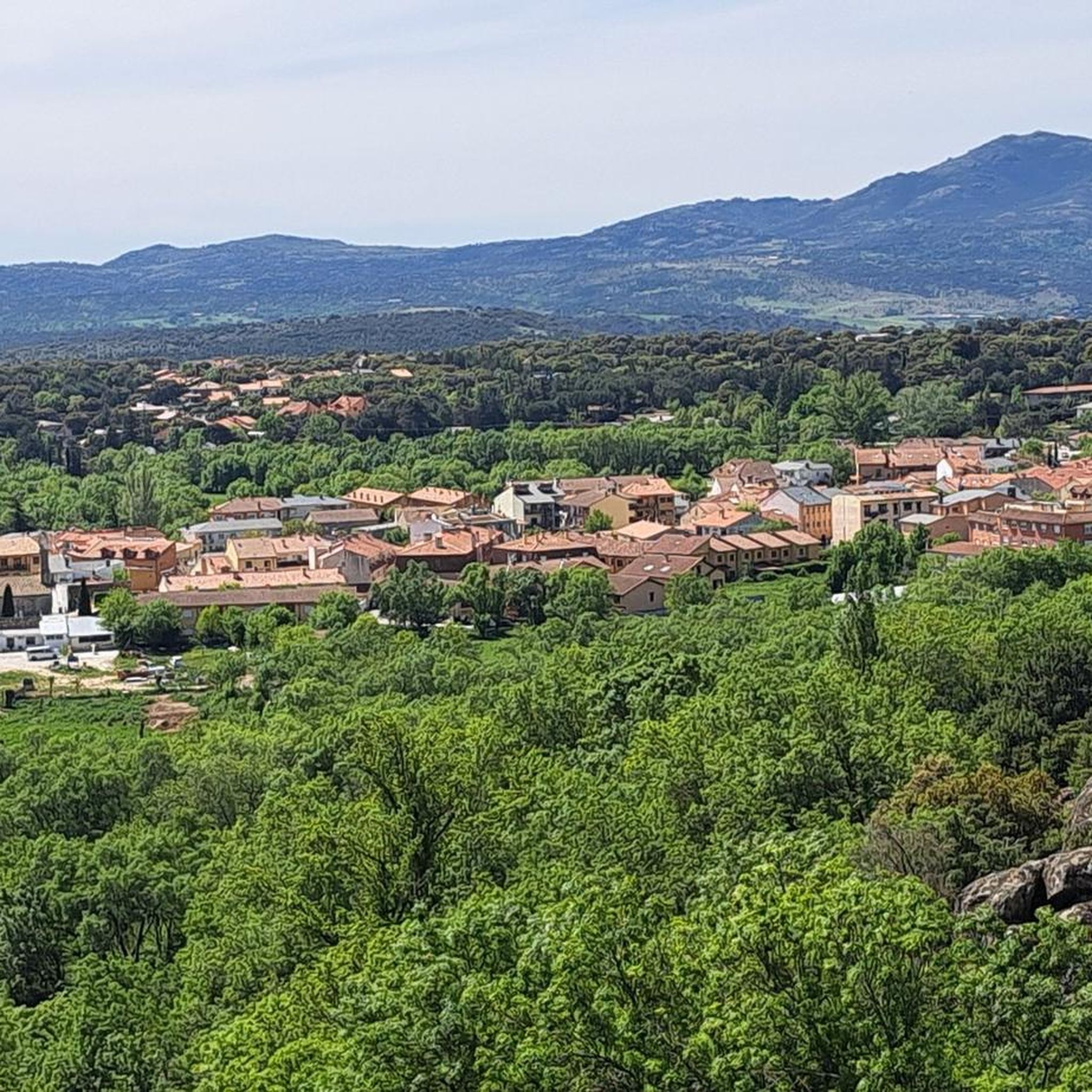
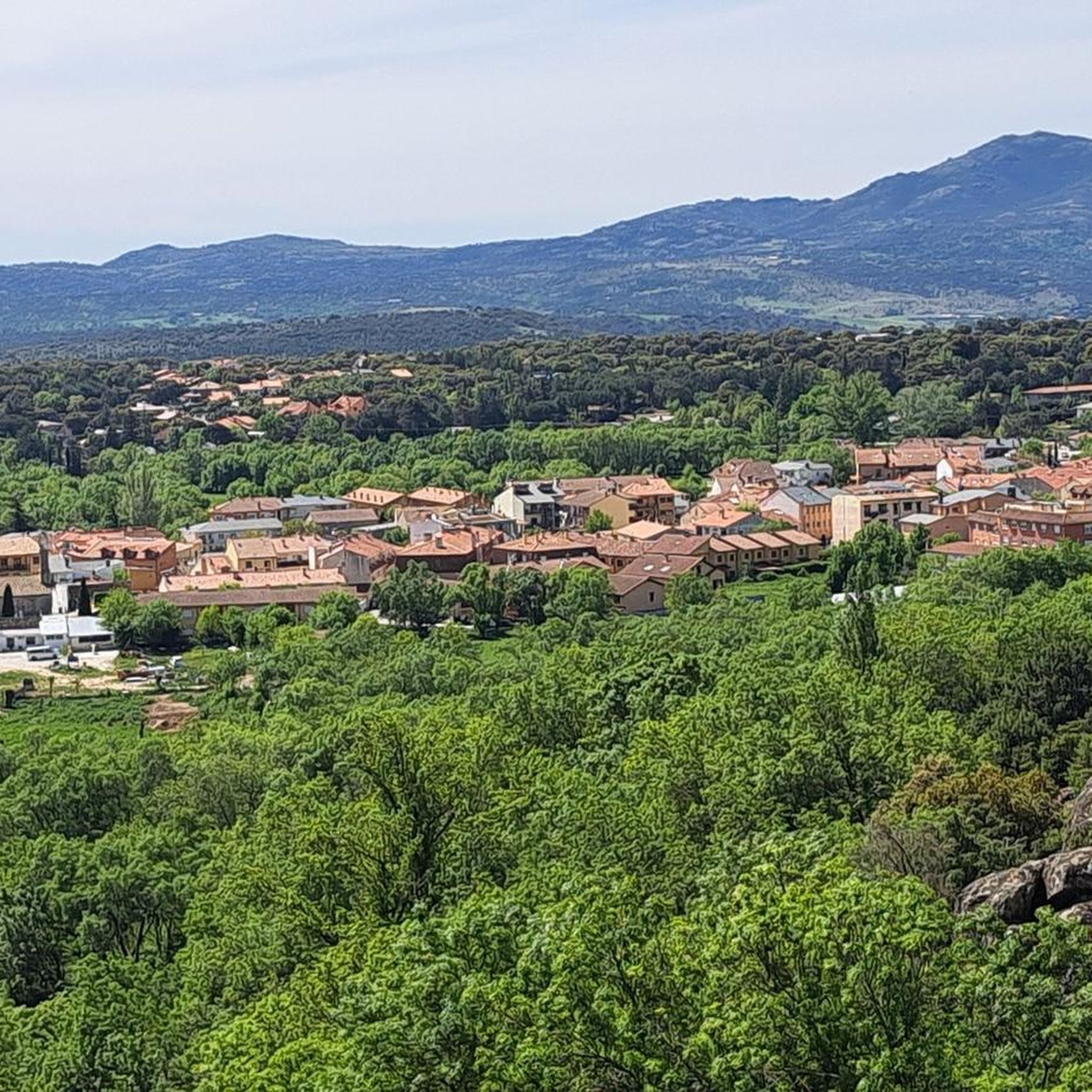
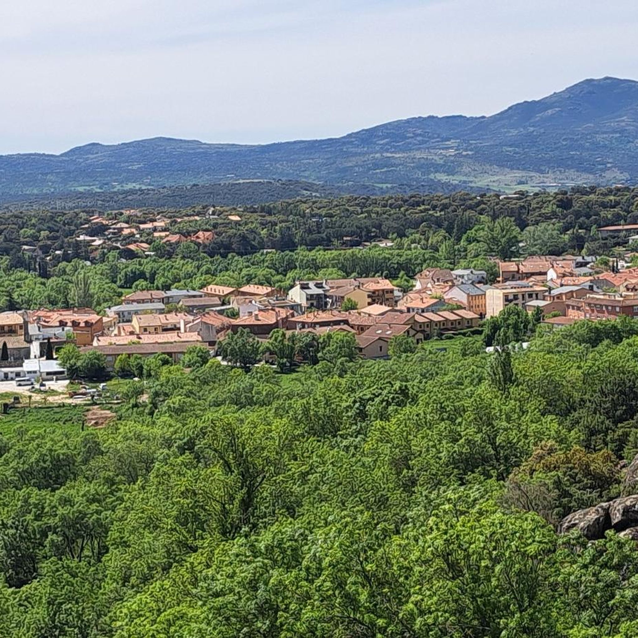
Jogging routes around Navalafuente are set within the foothills of the Sierra de Guadarrama, offering a diverse natural landscape for runners. The region features varied terrain, from gentle slopes in the south to more mountainous inclines in the north. Runners can explore dense juniper groves, Scots pine forests, and extensive holm oak woodlands, alongside meadows and clearings that burst with wildflowers in spring. Clean rivers and streams, including the Cascada del Cancho, wind through the area, providing scenic water features…
Last updated: May 20, 2026
63
runners
24.8km
03:44
870m
870m
Hard run. Very good fitness required. Sure-footedness, sturdy shoes and alpine experience required.
10
runners
14.5km
01:33
160m
160m
Moderate run. Good fitness required. Mostly paved surfaces. Suitable for all skill levels.

Sign up for free
5
runners
6.50km
00:47
90m
90m
Moderate run. Good fitness required. Mostly paved surfaces. Suitable for all skill levels.
5
runners
5.30km
00:35
60m
60m
Moderate run. Good fitness required. Mostly paved surfaces. Suitable for all skill levels.
9
runners
7.62km
00:54
100m
100m
Moderate run. Good fitness required. Mostly paved surfaces. Suitable for all skill levels.
Get access to more routes and recommendations from other explorers.
Sign up for free
Already have an account?
Our route recommendations are based on thousands of hikes, rides, and runs completed by other people on komoot.
Start today with a free account
Your next adventure awaits.
Login or Signup

Tips from the Community

For hikers looking for a good challenge in Miraflores de la Sierra, Cabeza Arcón peak (1558 m) is the perfect choice. With steep trails and a demanding climb, the summit offers stunning views of the mountain range and valley. Make sure you wear appropriate footwear and enjoy a challenging hiking experience with visual rewards at the top.
3
0

Founded by Alfonso Filming location of the movie "Welcome, Mister Marshall" (1952), this Madrid town is a good access point to the lower area of the Sierra de Guadarrama, with the Vellón reservoir very close and the Cerro de San Pedro separating it from the town of Colmenar Viejo.
0
0

Cabanillas de la Sierra is one of the typical mountain towns in Madrid. Despite being located on the N-1 highway, it has a very quiet atmosphere and is ideal for a stopover.
1
0

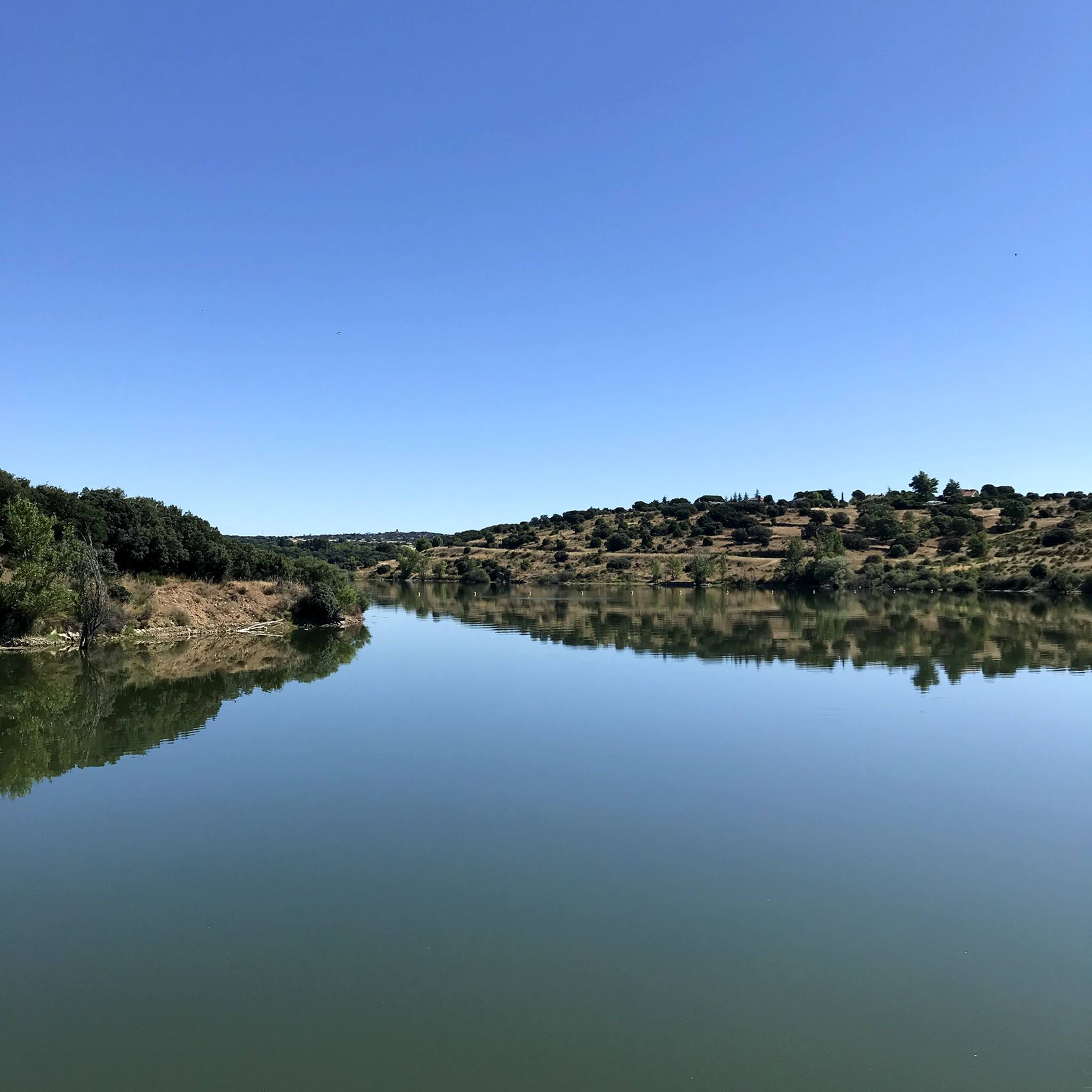
The reservoir was built in the 1960s and has been a vital part of the region's infrastructure ever since. It has roads and trails that are ideal for running and you can also see a lot of birds in the area.
1
0
Guadalix de la Sierra is the town in Madrid where "Welcome Mr. Marshall" by Luis García Berlanga was filmed in 1952.
2
0

Berlanga's film "Welcome, Mister Marshal" was shot in this town in 1953. There are two churches in the film, one of which is fake, but the other is the town's own gothic church, which is well worth a visit.
0
0
Frequently Asked Questions
How many running routes are available in Navalafuente?
Navalafuente offers a wide selection of running routes, with over 120 trails documented on komoot. This includes a variety of options suitable for different fitness levels and preferences.
What kind of terrain can I expect on the jogging routes around Navalafuente?
The terrain in Navalafuente is quite varied. You'll find gentle slopes in the southern part of the municipality, transitioning to more mountainous inclines in the north. Routes often pass through dense juniper groves, Scots pine forests, and extensive holm oak woodlands. Many trails also feature traditional cattle paths (vías pecuarias) and clearings that burst with wildflowers in spring.
Are there any easy or beginner-friendly running routes in Navalafuente?
Yes, there are several options for beginners or those looking for an easier run. For instance, a comfortable 3 km route with minimal elevation change runs along Calleja Ancha and Calleja Estrecha, starting and ending in the urban center. This path is flanked by ash trees and old stone walls, making it suitable for all ages and fitness levels. Additionally, komoot lists 1 easy route and 37 moderate routes that might be suitable for less experienced runners.
Are there any challenging running trails for experienced runners?
Absolutely. Navalafuente is known for its more demanding trails, with 91 difficult routes listed on komoot. An example is the Cabeza Arcón loop from Guadalix de la Sierra, a 24.8 km trail with significant elevation gain, offering panoramic views and a substantial challenge.
What natural features or landmarks can I see while running in Navalafuente?
Runners in Navalafuente can enjoy diverse natural beauty and notable landmarks. You might encounter clean rivers and streams, including the spectacular Cascada del Cancho, especially impressive in spring or winter. The area also boasts juniper groves, Scots pine forests, and holm oak woodlands. From viewpoints like the San Blas Hermitage, you can see significant landmarks such as La Pedriza, Cabezas de Hierro, and the Santillana reservoir. You can also explore mountain passes like Canencia Pass or peaks such as Alto del Cerro de San Pedro.
Are there any circular running routes in the area?
Yes, Navalafuente offers several circular routes. A notable one is the 'Dendro-ruta', a 5.5 km scientific-tourist trail that starts and ends near the sports center, designed to showcase the local tree variety. The Running loop from Piscis is another moderate circular option, covering 6.5 km through varied local terrain.
What is the best time of year to go running in Navalafuente?
Navalafuente offers great running conditions throughout the year, but spring is particularly beautiful when meadows and clearings burst with hundreds of flowers. Winter can also be a good time, especially for seeing the Cascada del Cancho at its most impressive. The diverse forests provide shade in warmer months, while the varied topography offers options for different weather conditions.
Are the running routes in Navalafuente suitable for families?
Yes, many routes are suitable for families. The easy 3 km route along Calleja Ancha and Calleja Estrecha, with minimal elevation, is particularly family-friendly. The 'Dendro-ruta' also offers an educational and enjoyable path for all ages. When planning, look for routes marked as 'easy' or 'moderate' on komoot for the best family experience.
Are dogs allowed on the running trails in Navalafuente?
While specific regulations for every trail can vary, many natural areas in Spain, including those around Navalafuente, generally permit dogs on trails, often requiring them to be on a leash. It's always advisable to check local signage or specific route details on komoot for any restrictions before heading out with your dog.
Is there parking available near the running routes?
Yes, Navalafuente is generally accessible for outdoor activities. While specific parking spots vary by trailhead, the village and its surrounding areas are equipped to accommodate visitors. Many routes, including the 'Dendro-ruta' and the easy urban loop, start near the village center or sports facilities where parking is typically available.
Can I reach the running routes using public transport?
Navalafuente is connected by public transport, making it possible to access the running routes without a car. The village is served by bus lines from Madrid, and once in Navalafuente, many trails are easily accessible from the urban center. For specific bus schedules and stops, it's best to consult local transport information.
What do other runners enjoy most about jogging in Navalafuente?
The running routes in Navalafuente are highly rated by the komoot community, with an average score of 4.6 stars from over 20 reviews. Runners often praise the diverse natural landscapes, from dense forests and juniper groves to open meadows and scenic viewpoints. The variety of terrain and options for different ability levels are also frequently highlighted as key attractions.
Are there any routes that feature water bodies or reservoirs?
Yes, the region is characterized by clean waters of rivers and streams, tributaries of the Guadalix River. The Cascada del Cancho (Cancho Waterfall) is a spectacular water feature accessible via a route from the village. Another popular route, the Pedrezuela Reservoir loop from Guadalix de la Sierra, leads along the tranquil waters of the Pedrezuela Reservoir, offering a mix of open and wooded sections.
Most popular routes around Navalafuente
Most popular attractions around Navalafuente

Get inspired with the komoot mobile app


Explore more
Browse the best Running Trails & Routes in other regions.
