The best walks and hikes around San Juan De La Nava
4.9
(26)
194
hikers
20
hikes
Hiking around San Juan De La Nava offers trails through river valleys and near reservoirs in the Ávila province of Spain. The landscape is characterized by the Río Alberche and its surrounding terrain, including areas like Valle Navaluenga. Routes often feature moderate elevation changes and pass by natural water features.
Best hiking trails around San Juan De La Nava
- The most popular hiking route is Valle Navaluenga to the Embalse del Burguillo — circular by the Río Alberche, a…
Last updated: July 1, 2026
4.5
(4)
13
hikers
Moderate hike. Good fitness required. Easily-accessible paths. Suitable for all skill levels.
15
hikers
8.80km
02:18
70m
70m
Moderate hike. Good fitness required. Easily-accessible paths. Suitable for all skill levels.

Sign up for free
4.8
(5)
15
hikers
6.45km
02:02
240m
240m
Moderate hike. Good fitness required. Mostly accessible paths. Sure-footedness required.
12
hikers
7.04km
01:59
150m
150m
Easy hike. Great for any fitness level. Easily-accessible paths. Suitable for all skill levels.
5.0
(1)
7
hikers
Moderate hike. Good fitness required. Easily-accessible paths. Suitable for all skill levels.
Get access to more routes and recommendations from other explorers.
Sign up for free
Already have an account?
Our route recommendations are based on thousands of hikes, rides, and runs completed by other people on komoot.
Start today with a free account
Your next adventure awaits.
Login or Signup

Tips from the Community

Beautiful stone bridge over the Alberche River as it passes through Navaluenga.
0
0

The Alberche River is one of the tributaries of the Tagus, and runs through the communities of Castilla y León, Madrid, and Castilla - La Mancha. It is born on the southern slope of the Villafranca mountain range, in the Central system. It is a river with a shallow flow, like all the rivers that originate from the southern slope of the Central system. It serves as a border between the Gredos and Guadarrama mountain ranges.
1
0

Old bridge that crosses the river and that lets us go from the center of Navaluenga to the other side of the bank. The surrounding area is also beautiful.
0
0
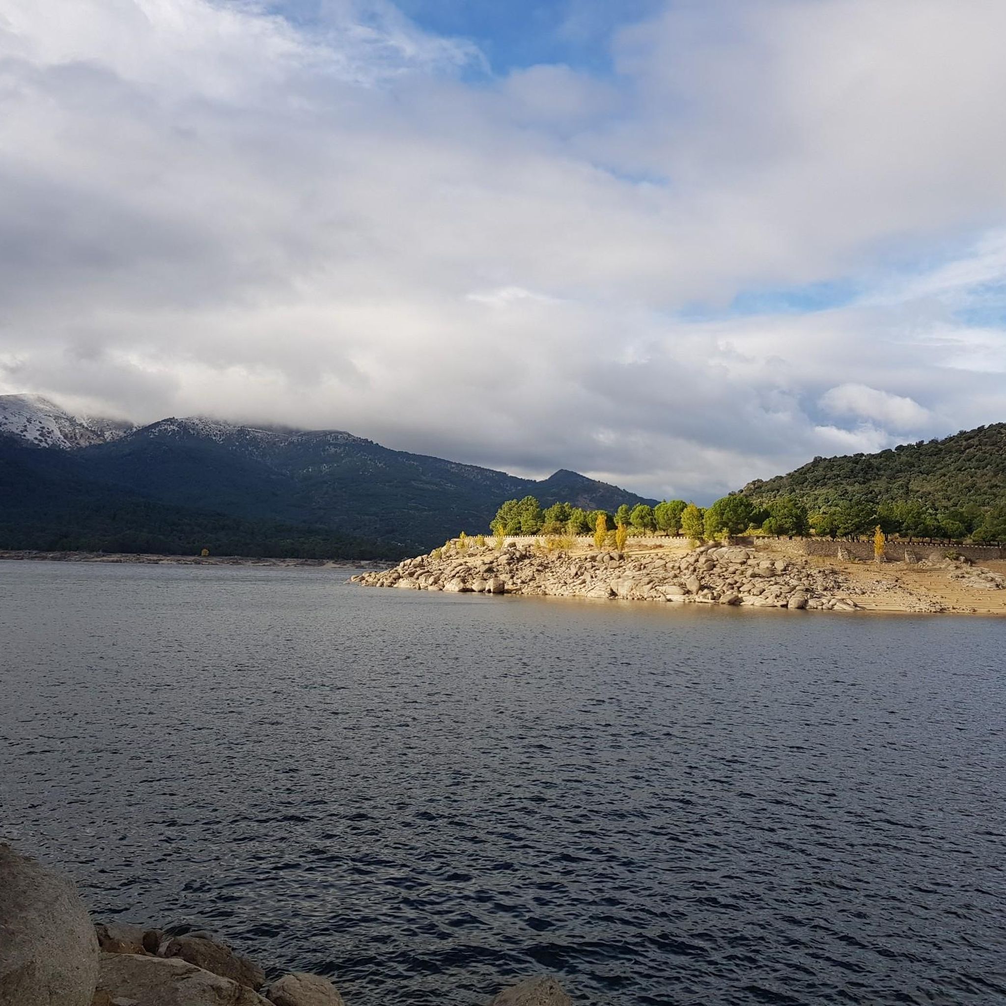
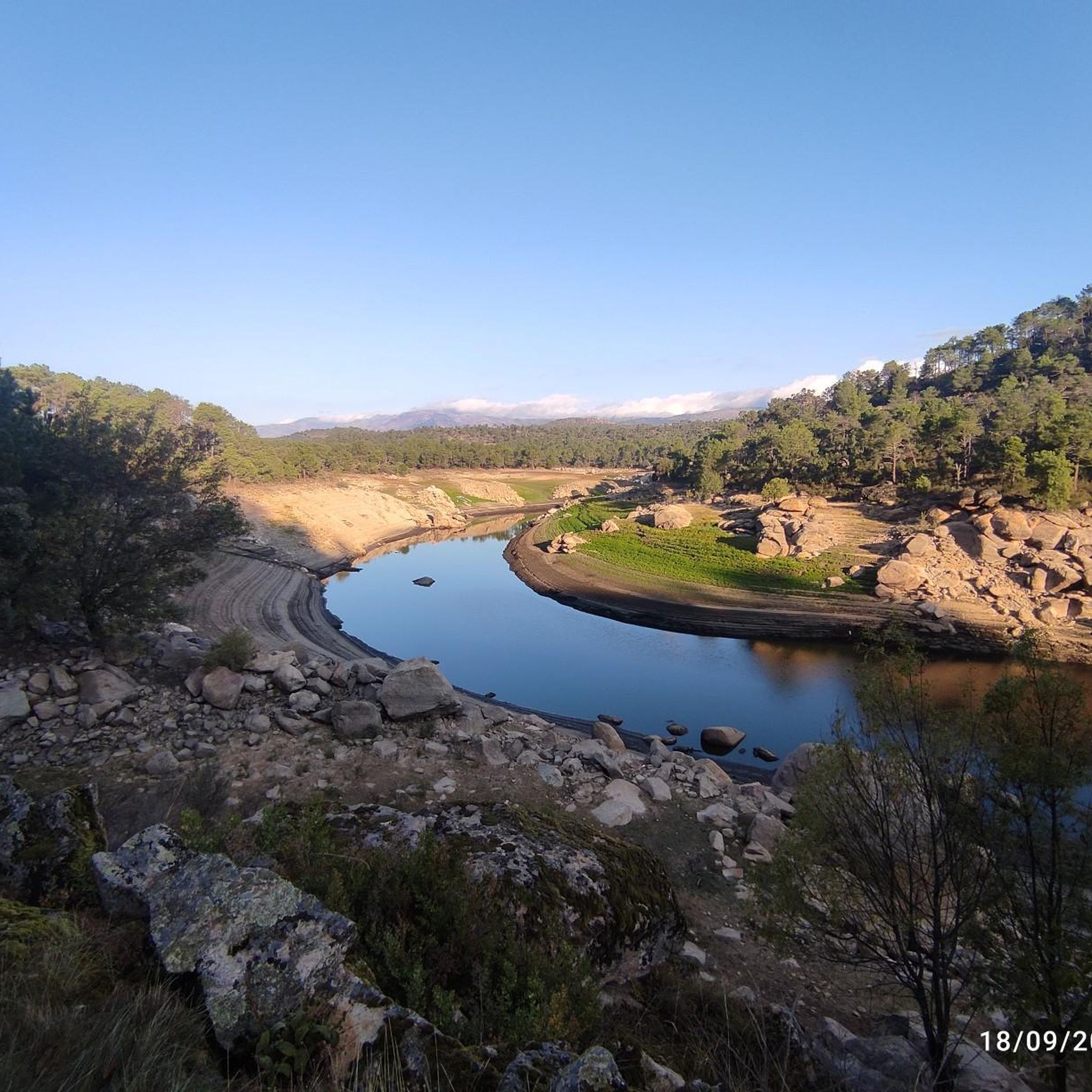
The Alberche river passes through this natural strait that ends with what is called the Burguillo Reservoir. It's worth going a few more meters to see the views of the meanders that the river itself offers.
0
0
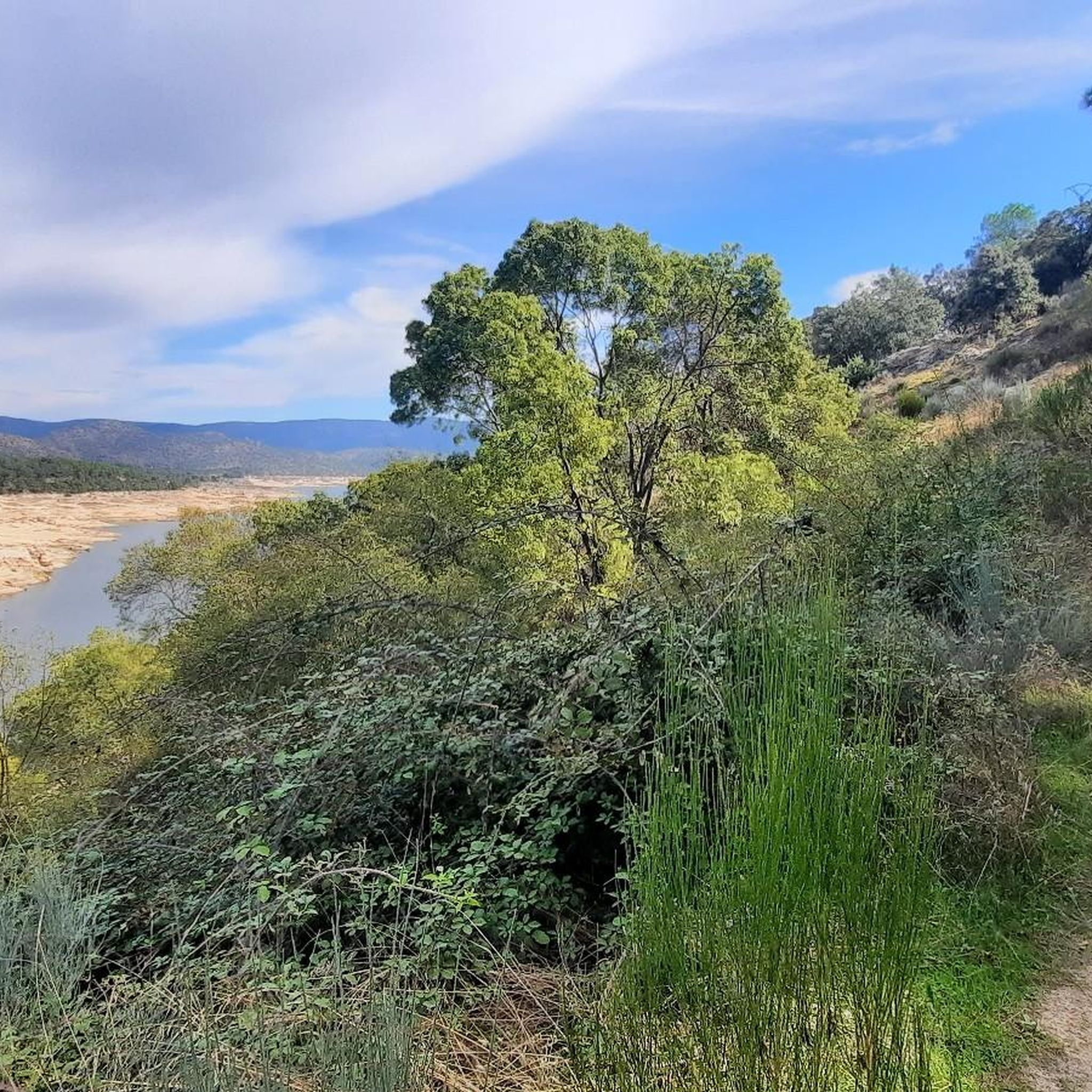
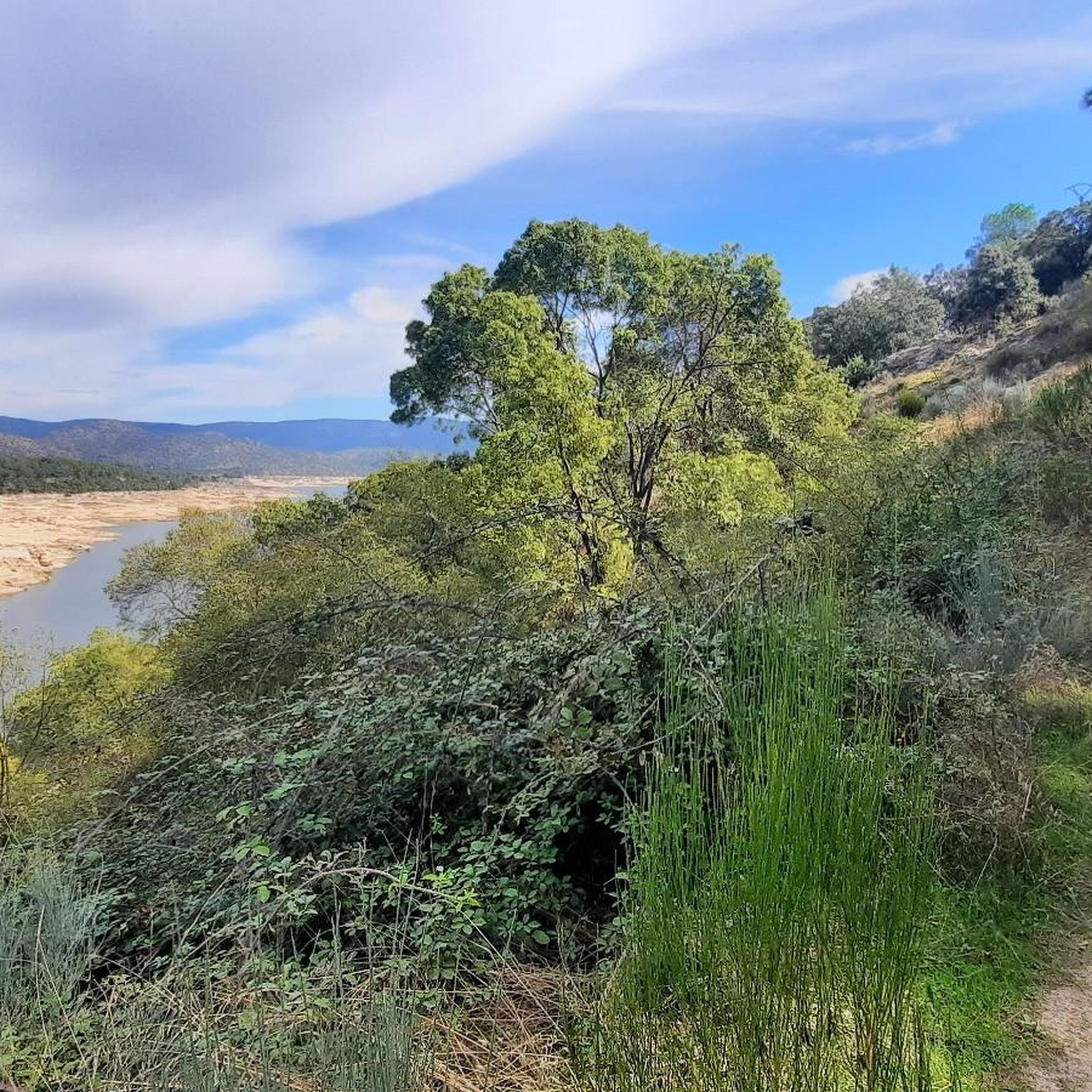
Running and retracing the Río Alberche and from the town of Navaluenga there appears this valley that on the south side we find the Sierra de Gredos and to the north, the Sierra de Panamera that offers this green and wide valley.
0
1
Following the Río Alberche and from the town of Navaluenga, this valley appears, on the south side we find the Sierra de Gredos and to the north, the Sierra de Panamera that offers this green and wide valley.
1
0
The Alberche river passes through this natural strait that ends with what is called the Burguillo Reservoir. The views from this point are beautiful and wide.
1
0

This old stone bridge is located in a beautiful setting in the town of Navaluenga. The bridge allows you to cross the Alberche River and divides the two bathing areas of the Navaluenga natural pools during the summer months. An ideal place to add to my route.
2
0
Frequently Asked Questions
How many hiking trails are available around San Juan De La Nava?
There are over 20 hiking routes recorded in San Juan De La Nava. These trails offer a variety of experiences, primarily focusing on river valleys and reservoir paths.
What is the general difficulty level of hikes in San Juan De La Nava?
The hiking trails in San Juan De La Nava cater to various abilities. Most routes are classified as moderate, with 14 moderate trails available. There are also 5 easy trails and 1 difficult trail for those seeking more challenge.
What kind of landscape can I expect on hikes around San Juan De La Nava?
Hikes around San Juan De La Nava are characterized by river valleys, particularly along the Río Alberche, and paths near reservoirs like the Embalse del Burguillo. You'll also encounter areas like Valle Navaluenga and historic bridges such as the Puente Viejo de Navaluenga.
Are there circular hiking routes in San Juan De La Nava?
Yes, many routes in the area are circular. For example, the Valle Navaluenga to the Embalse del Burguillo — circular by the Río Alberche is a popular option that follows the Río Alberche and circles the Embalse del Burguillo.
What do other hikers say about the trails in San Juan De La Nava?
The trails in San Juan De La Nava are highly regarded by the komoot community, with an average rating of 4.8 stars from over 20 reviews. Hikers often appreciate the scenic river paths and the tranquil atmosphere of the area.
Are there family-friendly hikes in San Juan De La Nava?
Yes, there are several easy trails suitable for families. These routes typically feature gentle terrain and shorter distances, allowing for an enjoyable outing with children. One such option is the Bar El Seco – Puente Viejo de Navaluenga loop from Navaluenga, which is classified as easy.
Are the hiking trails in San Juan De La Nava dog-friendly?
Generally, dogs are welcome on trails in natural areas, but it's always advisable to keep them on a leash, especially in areas with livestock or wildlife. Please check local regulations or signage for specific rules regarding dogs on individual trails or protected areas.
What points of interest can I see along the hiking trails?
Along the trails, you can explore natural and historical points of interest. Notable attractions include the Puente Viejo de Navaluenga, an historic bridge, and the El Burguillo Reservoir. The area also features the Puerto de Casillas – Entrance to the Valle de Iruelas Nature Reserve.
Are there any lakes or reservoirs to visit near the hiking routes?
Yes, the region is known for its water features. You can visit the El Burguillo Reservoir and the Embalse del Burguillo, which are often part of hiking routes. Other nearby bodies of water include Presa del Horcajo and Embalse de Becerril.
Where can I find parking for hiking trails in San Juan De La Nava?
Parking availability varies by trailhead. Many routes, especially those starting from towns like Navaluenga, will have designated parking areas. It's recommended to check the specific tour details on komoot for information on starting points and parking facilities for your chosen hike.
What is a good moderate hike to experience the area?
A great moderate option is the Navaluenga Valley loop from Navaluenga. This 8.8 km (5.5 miles) path explores the scenic Navaluenga Valley and offers views of the surrounding countryside.
Most popular routes around San Juan De La Nava
Most popular attractions around San Juan De La Nava

Get inspired with the komoot mobile app


Explore more
Browse the best Hikes in other regions.
