The best running trails around Castellolí
4.1
(67)
3,599
runners
175
runs
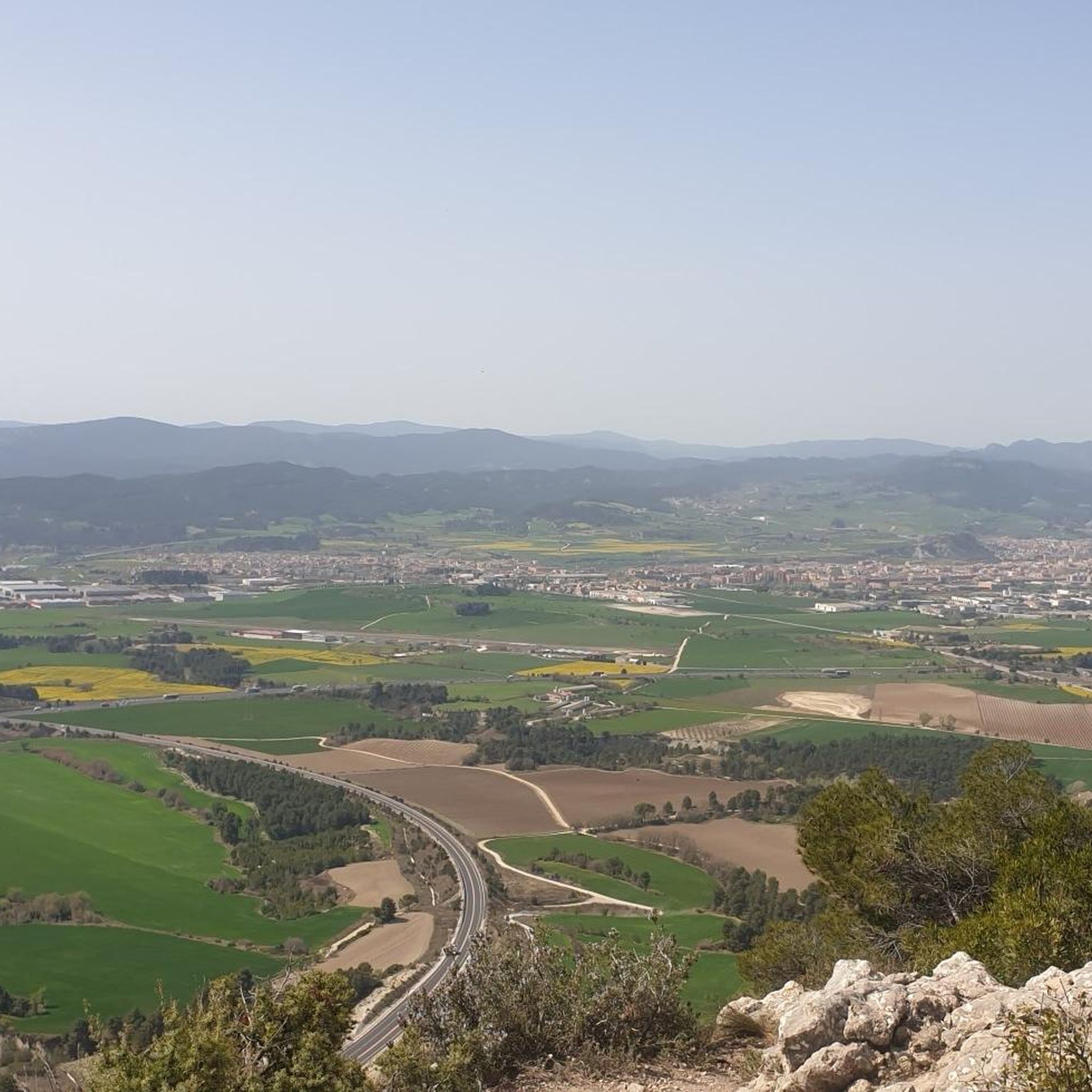
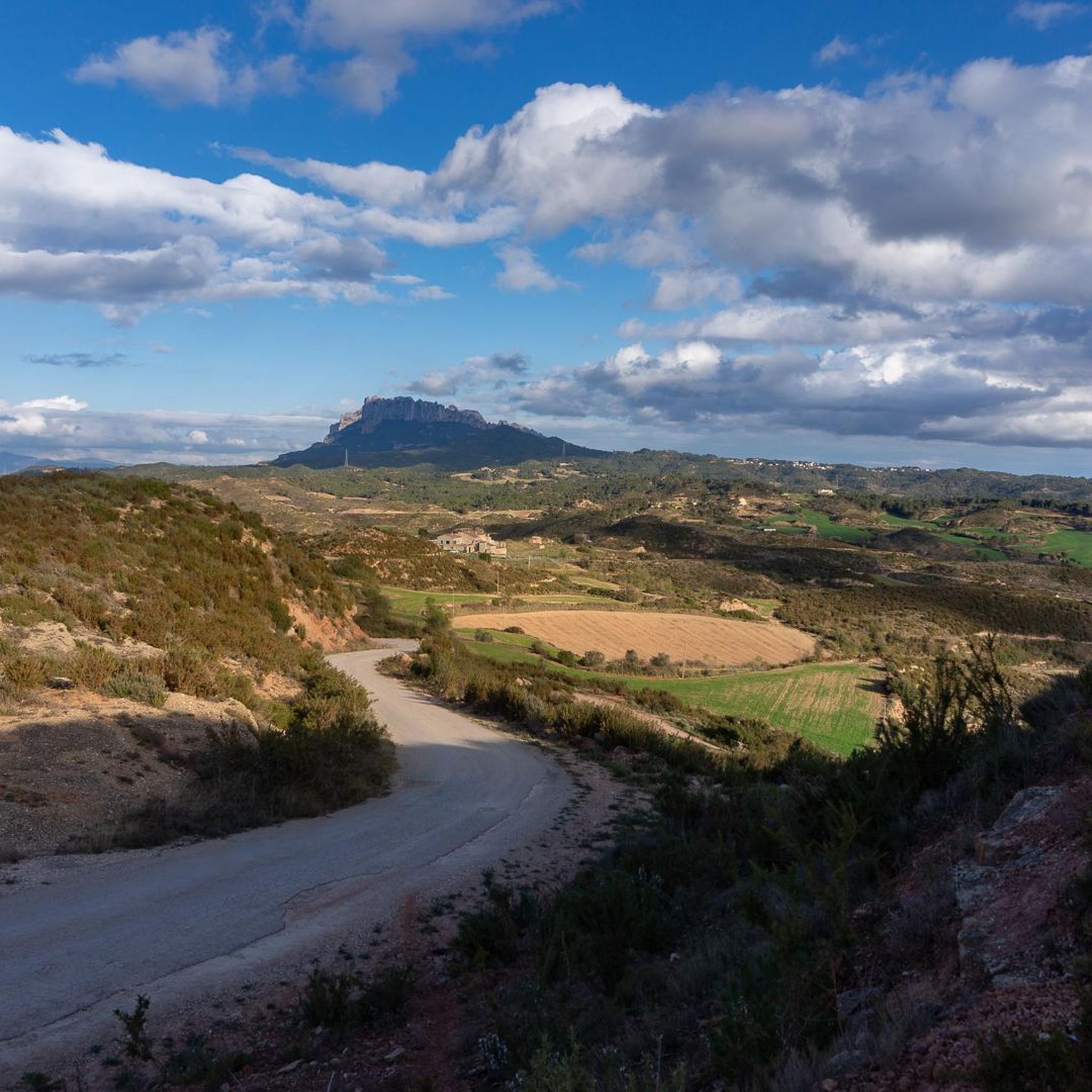
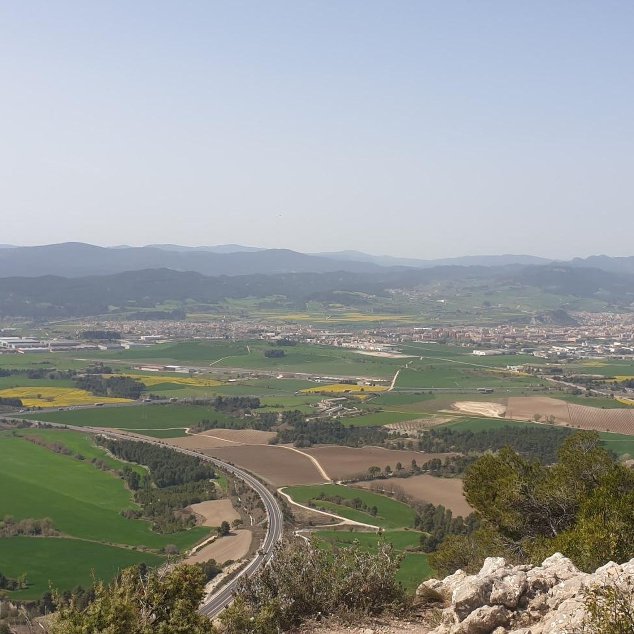
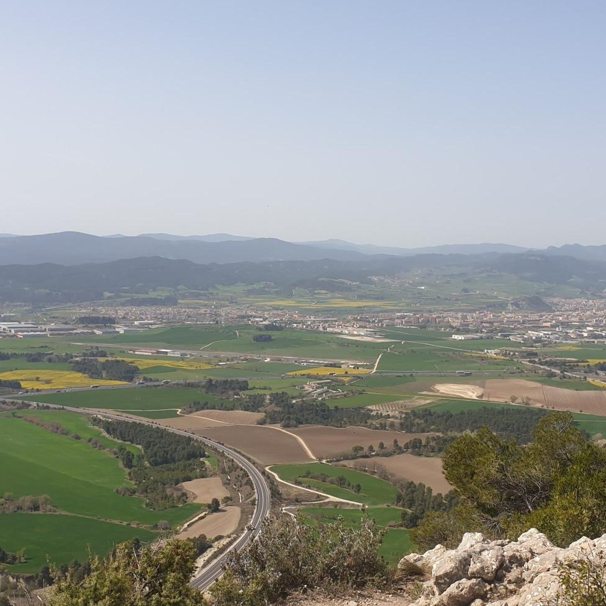
Jogging routes around Castellolí offer a diverse landscape for outdoor enthusiasts, characterized by hilly terrain and varied elevation changes. The region features a mix of natural environments, including access to the iconic Montserrat Mountain Range and the Anoia River valley. Trails often combine paved surfaces with accessible paths, providing a range of experiences for runners. This area is well-suited for trail running, with routes that traverse both natural landscapes and historical sites.
Best jogging routes around Castellolí
- The most popular…
Last updated: May 10, 2026
5.0
(1)
134
runners
7.03km
01:16
380m
380m
Hard run. Very good fitness required. Sure-footedness, sturdy shoes and alpine experience required.
5.0
(1)
4
runners
7.89km
00:57
210m
210m
Hard run. Good fitness required. Sure-footedness, sturdy shoes and alpine experience required.

Sign up for free
1
runners
15.2km
01:51
310m
310m
Hard run. Very good fitness required. Sure-footedness, sturdy shoes and alpine experience required.
Hard run. Very good fitness required. Mostly paved surfaces. Suitable for all skill levels.
Moderate run. Good fitness required. Mostly paved surfaces. Suitable for all skill levels.
Get access to more routes and recommendations from other explorers.
Sign up for free
Already have an account?
Our route recommendations are based on thousands of hikes, rides, and runs completed by other people on komoot.
Start today with a free account
Your next adventure awaits.
Login or Signup

Tips from the Community

A very beautiful ruin that can be visited. Check online beforehand to see if it is open 😎
0
0

Beautiful place to see the two sides of Montserrat
0
0

Claramunt Castle is a Romanesque fortress from the 10th century. It is located on a hill that dominates all the surrounding lands and the course of the Anoia River, so it enjoys magnificent views.
0
0

Around the pass known as Pas del Príncep, integrated into the Frares Encantats region according to the topological division made in his time by Josep Barberà following the guidelines of Ramon de Semir, there is a series of slender needles that they have been quite climbed due to their proximity to the portella path to port. The toponymy of the place is to be studied. The Prince's given name is old. In Joan Cabeza's map from 1909, this place is already indicated, placing it as a step on the way from Col de Port (on the map it is called Porc) to El Bruc through the path of the Lloro stream, Arcada cave and the Castle. The Montserrat guide. Itineraries also published in 1909 by the Revista Montserratina, of which the previous map is a supplement, gives more details of this step in the description of itinerary XIII "A la Roca foradada, sant Pau vell i font de coll de Port”, this last name is written as porch. It is interesting to point out that in the description of this itinerary it is mentioned that after the Pas del Príncep, coming from the port pass, there is a path to the right in the direction of the Ampla canal and that continues towards Les Pouetons and Les Boïgues. Over time this path is what today has become the main road from La Portella to Coll de Port. The small or lower rock of Pas de Príncep, to the south, and the Gran de Pas de Príncep spire, to the north, form said pass
0
0

One of the best-known rocks of Montserrat and it is a pinnacle that stands out from the rest. The views from the top are very beautiful although the climb has to be done with lead feet!
0
0
Pas del Princep is a passage between two pinnacles, called Agulla Superior del Pas del Príncep and El Bitllat. The pass is elevated and offers good views of the western part of the massif, spectacular!
0
0
Narrow and at the same time beautiful passage in the middle of the Roca Gran de la Portella. In this step you have to be alert, but you are entering the mountain of Montserrat.
0
0
Old castle that is located in the upper part of the town and whose tower is the best known element of the castle.
0
0
Frequently Asked Questions
How many running routes are available around Castellolí?
There are over 180 running routes around Castellolí, offering a wide variety of options for different fitness levels. These include 12 easy routes, 108 moderate routes, and 63 difficult routes, ensuring there's something for every runner.
What kind of terrain and elevation can I expect on running routes near Castellolí?
The running routes around Castellolí are characterized by hilly terrain and varied elevation changes. You'll encounter a mix of natural environments, often combining paved surfaces with accessible paths. Many routes require good fitness due to substantial elevation gains, such as the 4.9-mile (7.9 km) loop near La Torre de Claramunt with 700 feet (213 meters) of elevation gain.
Are there any historical landmarks or natural attractions to see while running in Castellolí?
Yes, many running routes offer scenic views and pass by significant landmarks. For instance, a challenging loop near La Torre de Claramunt passes by the historic Claramunt Castle, which provides magnificent views of the Anoia River valley. You can also find routes with vistas of the iconic Montserrat Mountain Range, and some trails lead to points like the Sant Jeroni Summit or the Montserrat Monastery.
Can I find routes with views of the Montserrat Mountain Range?
Absolutely. The region around Castellolí provides excellent opportunities to run with views of the iconic Montserrat Mountain Range. The Montserrat and La Foredada — circular route, for example, offers significant elevation gain and direct views towards Montserrat. The Anoia Montserratina Trail also provides stunning vistas of the range.
Are there family-friendly running routes suitable for all ages around Castellolí?
While many routes in Castellolí feature hilly terrain and significant elevation changes, there are some easier options. The guide lists 12 easy routes that might be more suitable for families or those looking for a less strenuous run. It's always recommended to check the route details for distance and elevation before heading out with children.
Is parking readily available near the running routes in Castellolí?
While specific parking details for every route are not provided, the region is generally accessible for outdoor activities. Many trailheads, especially those near villages or popular starting points, typically offer parking facilities. It's advisable to check local maps or route descriptions for specific parking information before your run.
Are the running trails around Castellolí accessible by public transport?
Accessibility by public transport can vary depending on the specific trailhead. While Castellolí itself is a municipality, reaching some of the more remote trail starting points might require a car. For routes closer to towns like La Pobla de Claramunt or Òdena, local bus services might be an option, but it's best to research specific public transport links to your chosen starting point.
What do other runners enjoy the most about jogging in Castellolí?
The running routes in Castellolí are highly rated by the komoot community, with an average score of 4.1 stars from over 70 reviews. Runners often praise the diverse landscape, the challenging hilly terrain, and the rewarding views of the Montserrat Mountain Range and historic sites like Claramunt Castle. The variety of routes caters to different ability levels, making it a popular destination for trail running.
Can I find circular running routes in the Castellolí area?
Yes, circular routes are a popular option in the Castellolí area. For example, the Tres Mollons Circular Trail from La Pobla de Claramunt is a 4.6-mile (7.5 km) route through hilly landscapes. Another option is the Path of Fuente de Ca l'Enric and Ermita de San Bernabé — circular from Òdena, which offers a longer, more challenging loop.
Are there any easier running routes for beginners or those looking for a less strenuous run?
Yes, while many routes are challenging, there are 12 easy running routes available around Castellolí. These routes offer a gentler introduction to the region's beautiful landscapes without the significant elevation gains found on more difficult trails. You can filter routes by difficulty on komoot to find the best option for your fitness level.
What is the longest running route available in the Castellolí area?
One of the longer and more demanding routes is the Path of Fuente de Ca l'Enric and Ermita de San Bernabé — circular from Òdena, which spans approximately 10.9 miles (17.6 km) and features significant elevation changes. This route is classified as difficult and offers a substantial challenge for experienced runners.
Can I bring my dog on the running trails in Castellolí?
Generally, many outdoor trails in natural areas like Castellolí are dog-friendly, especially if dogs are kept on a leash. However, specific rules can vary by route or protected area. It's always a good idea to check local regulations or specific route descriptions for any restrictions regarding dogs before you head out.
Most popular routes around Castellolí
Most popular attractions around Castellolí

Get inspired with the komoot mobile app


Explore more
Browse the best Running Trails & Routes in other regions.
