The best MTB trails around La Iruela
4.9
(50)
979
riders
45
rides
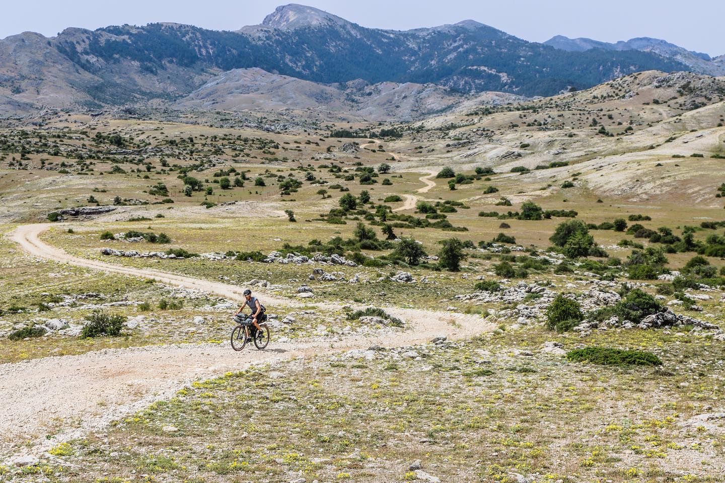
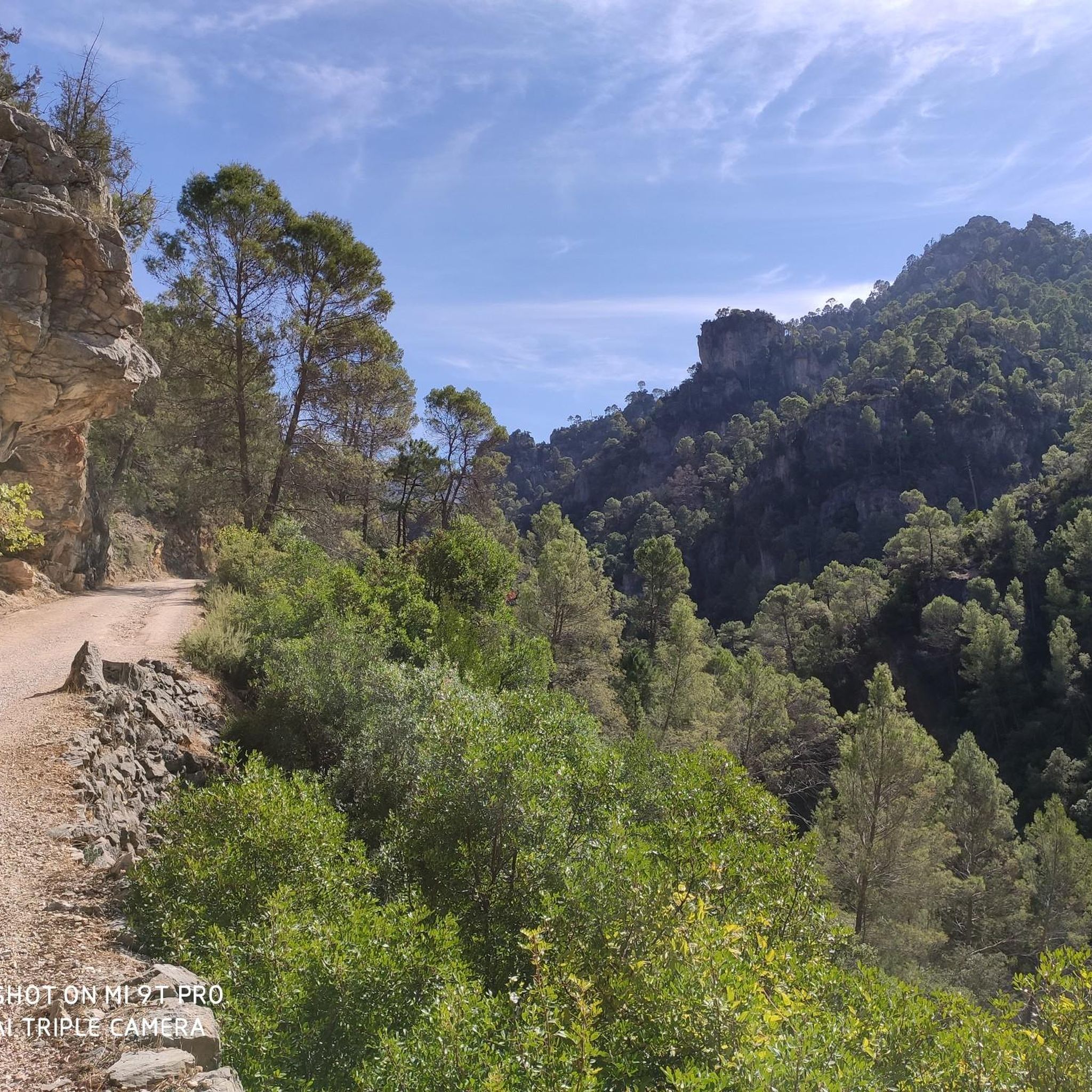
Mountain biking around La Iruela offers diverse terrain within the Sierra de Cazorla, Segura, and Las Villas Natural Park. The region features an "orographic labyrinth" of valleys, limestone plateaus (calares), gorges, and mountains. Extensive pine forests cover much of the landscape, providing varied routes from forest tracks to technical single trails. This environment provides a range of challenges and scenic routes for mountain bikers.
Best mountain bike trails around La Iruela
- The most popular mountain bike trail is Cascada de…
Last updated: May 15, 2026
5.0
(1)
20
riders
Hard mountain bike ride. Very good fitness required. Suitable for all skill levels.
89
riders
48.1km
05:03
1,470m
1,470m
Hard mountain bike ride. Very good fitness required. Advanced riding skills necessary. Some portions of the route may require you to push your bike.

Sign up for free
74
riders
25.5km
02:37
790m
790m
Moderate mountain bike ride. Good fitness required. Suitable for all skill levels.
5.0
(2)
51
riders
53.5km
04:57
1,230m
1,230m
Hard mountain bike ride. Very good fitness required. Suitable for all skill levels.
26
riders
Hard mountain bike ride. Very good fitness required. Suitable for all skill levels.
Get access to more routes and recommendations from other explorers.
Sign up for free
Already have an account?
Our route recommendations are based on thousands of hikes, rides, and runs completed by other people on komoot.
Start today with a free account
Your next adventure awaits.
Login or Signup



Tips from the Community

From this viewpoint, we will have the opportunity to contemplate a beautiful panorama in which the castle of Las Cinco Esquinas stands out on the left, located on the Loma del Castillo. In front is the castle of La Yedra together with the urban center of Cazorla. And to the right, Pollos de la Escaleruela, Cerro de la Laguna, and Peña de los Halcones can be seen.
0
0
El Refugio del Collado Zamora (often associated with the route to Gilillo) is a rehabilitated forest refuge located in the Sierra de Cazorla, key to the GR-247 trail. It is frequently used as a starting point or stopover to ascend to Gilillo or connect to areas such as Cuerda del Gilillo.
0
0

I knew that Santiago de la Espada is one of the largest towns in Spain, but I never imagined that the entire Senda del Borosa was within the municipality.
1
0
Today at the Borosa and Las Truchas streams the water is brown, due to the sediments carried by the rains of the last few days. In the stream the water is transparent and crystal clear, an option for less rural bathers on days like this! ;)
1
0

This is the most characteristic point from which you can see the entire valley of the Guadalquivir River, and all the human settlements that currently exist such as Arroyo Frío, El Chaparral or Loma de María Ángela. It is located at an altitude of 1241 meters above sea level.
14
0
Located in the place called "Empalme del Valle" is this bar that offers food and drinks to anyone who decides to stop and taste them.
14
0
This homemade food bar is located right at the entrance of the path known as the Cerrada del Utrero, which accompanies the flow of the Guadalquivir River and next to the road.
13
0
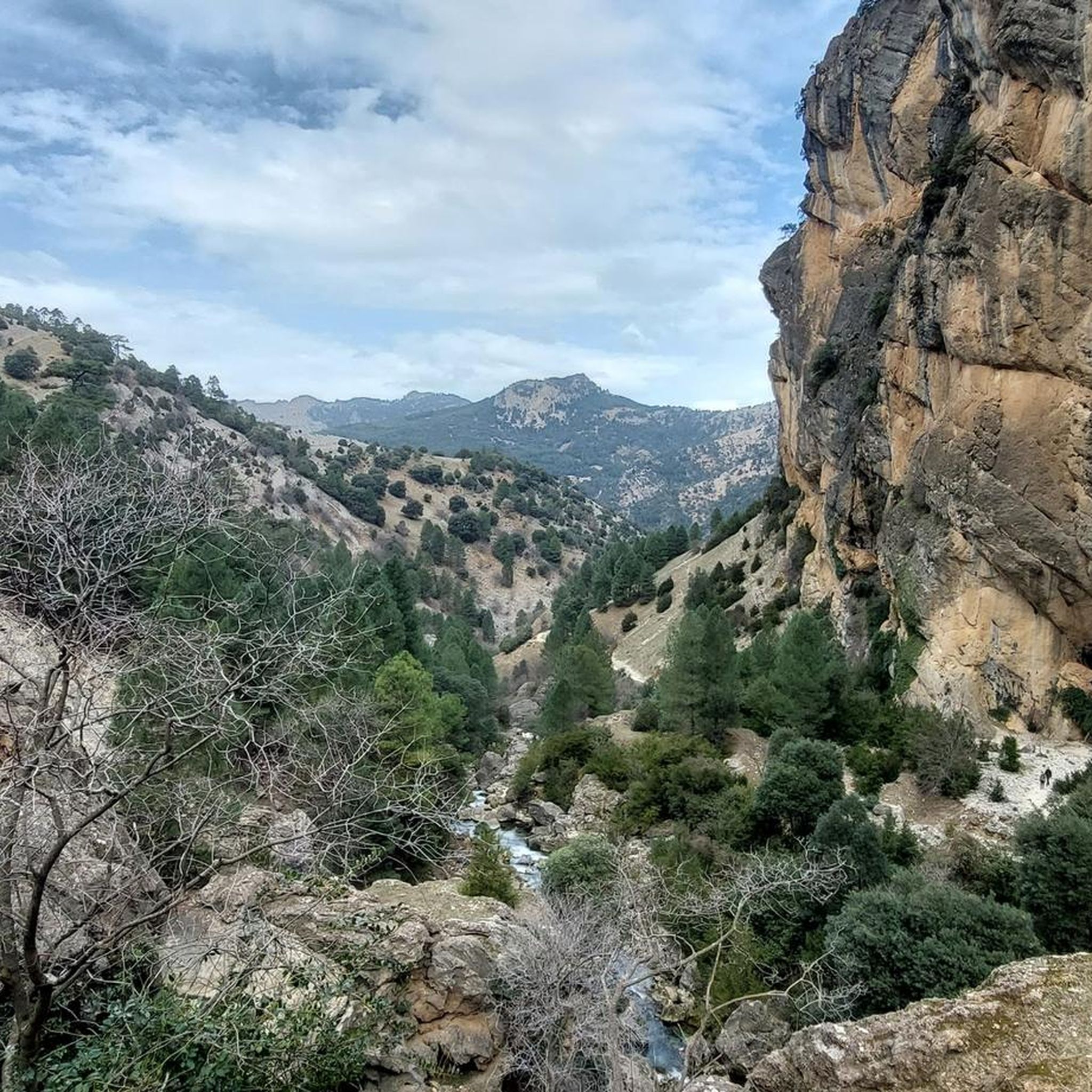
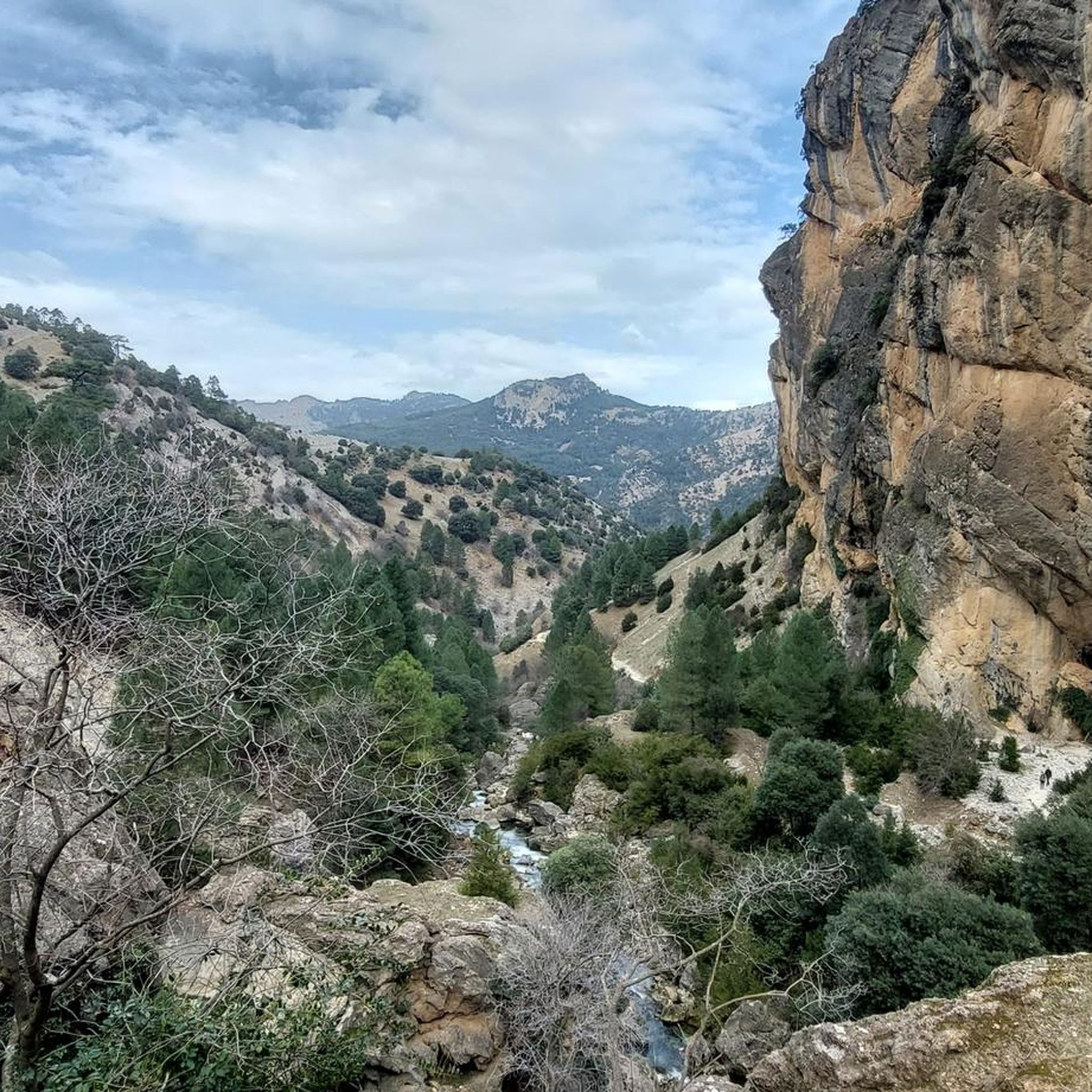
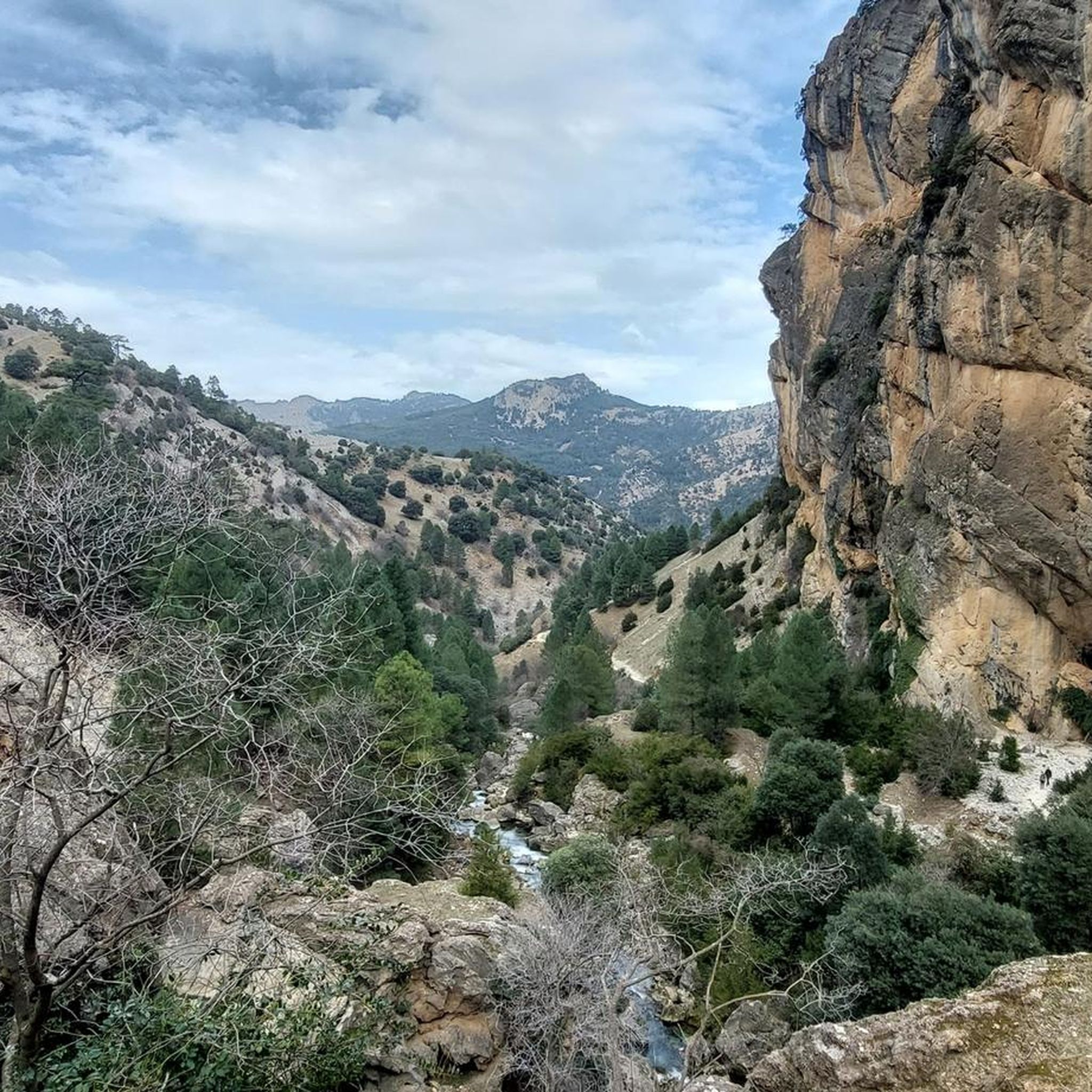
We are a few kilometers from the source of the Guadalquivir River, right where the flow is enclosed between rock walls called "Cerrada del Utrero", whose path takes us to walk through the ins and outs that capricious nature has wanted to leave us. Highly recommended route for walking although it is not appropriate for older people or small children.
13
0
Frequently Asked Questions
How many mountain bike trails are there in La Iruela?
La Iruela offers a wide selection of mountain bike trails, with over 45 routes available for exploration. These trails cater to various skill levels, including 1 easy, 14 moderate, and 30 difficult options.
What are the different difficulty levels for mountain biking in La Iruela?
The mountain bike trails around La Iruela offer a range of difficulties. You'll find options for all skill levels, including 1 easy route, 14 moderate routes, and 30 challenging routes for experienced riders. The region's diverse terrain, from forest tracks to technical single trails, ensures there's something for everyone.
Are there any family-friendly mountain bike routes in La Iruela?
While many routes in La Iruela are geared towards moderate to difficult levels, the region does offer some easier sections suitable for families. The varied terrain includes forest tracks that can be less demanding. For a gentle experience, consider exploring paths along the Cerezuelo River, which leads to the Malena Waterfall and is often described as ideal for families.
Can I bring my dog on the mountain bike trails in La Iruela?
The Sierra de Cazorla, Segura, and Las Villas Natural Park, where La Iruela is located, generally allows dogs on trails, but they must be kept on a leash to protect wildlife and ensure the safety of other users. Always check specific trail regulations before heading out.
What natural attractions or viewpoints can I see along the trails?
Many mountain bike routes in La Iruela offer breathtaking panoramic views and lead to stunning natural features. You might encounter the spectacular Salto de los Órganos Waterfall, or the scenic Malena Waterfall. Routes often pass by viewpoints like "Paso del Aire" and "Ribera del Guadalquivir." One challenging route, Cascada de Linarejos y mirador de las Palomas, includes both a waterfall and a viewpoint.
Are there any historical landmarks to explore while mountain biking?
Yes, La Iruela is rich in history. You can often spot historical landmarks directly from the trails or make short detours. The imposing Castillo de La Iruela, an Almohad fortress, stands majestically on a crag overlooking the village. The ruins of the 16th-century Church of Santo Domingo de Silos are also within the castle's enclosure. Further afield, La Yedra Castle above Cazorla is another notable historical site.
What is the best time of year for mountain biking in La Iruela?
The diverse landscapes of La Iruela make it suitable for mountain biking across various seasons. Spring and autumn generally offer the most pleasant temperatures for riding. Summers can be hot, especially at lower elevations, while winters might bring cooler weather and occasional snow at higher altitudes. Always check the local weather forecast before planning your trip.
Are there any specific regulations or permits needed for mountain biking in the Sierra de Cazorla Natural Park?
As La Iruela is a gateway to the Sierras de Cazorla, Segura, and Las Villas Natural Park, it's important to be aware of park regulations. While general access for mountain biking is permitted on designated trails and forest tracks, specific areas or activities might require permits. Always respect protected areas, stay on marked paths, and avoid disturbing wildlife. It's advisable to check with local park authorities for the most current regulations.
Where can I find parking for mountain bike trails in La Iruela?
La Iruela and the surrounding areas, being popular for outdoor activities, offer various parking options. You can typically find parking within the village itself or at designated trailheads and recreational areas within the natural park. Specific parking availability may vary by route, so it's recommended to check the starting point of your chosen trail for details.
Is it possible to reach La Iruela and the trails using public transport?
Public transport options to La Iruela and within the Sierra de Cazorla region can be limited, especially when trying to transport a bicycle. While there might be bus services connecting larger towns, direct access to specific trailheads with a bike can be challenging. It's often more convenient to travel by car, but checking local bus schedules and their bike policies is recommended if you plan to use public transport.
Are there any circular mountain bike routes available?
Yes, the region offers several excellent circular mountain bike routes. For example, the Collado Zamora Refuge – Cazorla loop from Cazorla is a challenging 48.1 km loop. Another popular option is the Cazorla – Non-forestry manor house loop from Cazorla, which covers 25.5 km through varied terrain.
Where can I find accommodation or places to eat in La Iruela?
La Iruela, being a charming village and a gateway to the natural park, offers various accommodation options, including hotels, guesthouses, and rural cottages. You'll also find local restaurants and cafes serving traditional Andalusian cuisine. For specific refuges along the trails, consider places like Fuente de Acero Refuge or Collado Zamora Refuge.
Can I rent a mountain bike or get repairs done in La Iruela?
Yes, La Iruela and the nearby town of Cazorla have services for mountain bikers. You can find local companies that offer mountain bike rentals, catering to various skill levels. Some establishments may also provide repair services or basic bike maintenance. It's advisable to book rentals in advance, especially during peak seasons.
What do other mountain bikers say about the trails in La Iruela?
The mountain bike trails around La Iruela are highly rated by the komoot community, with an average score of 4.9 stars from over 40 reviews. Reviewers often praise the diverse and dramatic landscapes, the extensive network of trails, and the breathtaking panoramic views. Many appreciate the mix of challenging routes and scenic forest tracks within the natural park.
Are there any routes that feature waterfalls?
Yes, the region is known for its beautiful waterfalls. The spectacular Salto de los Órganos Waterfall is part of a challenging trail, and the Malena Waterfall can be reached via a circular route along the Cerezuelo River. The popular Cascada de Linarejos y mirador de las Palomas route specifically highlights a waterfall within the Natural Park.
Most popular attractions around La Iruela

Get inspired with the komoot mobile app


Explore more
Browse the best MTB trails in other regions.
