The best walks and hikes around Villatuerta
4.3
(337)
2,756
hikers
137
hikes
Hiking around Villatuerta offers diverse terrain, characterized by river valleys, mixed forests, and elevated viewpoints. The region's topography includes mature oak and holm oak forests, providing varied natural settings for outdoor activities. Situated along the historic Camino de Santiago, Villatuerta serves as a starting point for trails that traverse both natural landscapes and historical sites. The Iranzu River divides the town, with a 13th-century Romanesque bridge adding to the area's historical and natural appeal.
Best hiking trails around Villatuerta
- The…
Last updated: July 2, 2026
4.0
(1)
8
hikers
Moderate hike. Good fitness required. Easily-accessible paths. Suitable for all skill levels.
2
hikers
10.3km
02:54
210m
210m
Moderate hike. Good fitness required. Mostly accessible paths. Sure-footedness required.

Sign up for free
4.7
(22)
141
hikers
27.6km
07:33
430m
430m
Hard hike. Very good fitness required. Easily-accessible paths. Suitable for all skill levels.
3.8
(8)
29
hikers
Hard hike. Great for any fitness level. Sure-footedness, sturdy shoes and alpine experience required.
5.0
(2)
27
hikers
Moderate hike. Good fitness required. Easily-accessible paths. Suitable for all skill levels.
Get access to more routes and recommendations from other explorers.
Sign up for free
Already have an account?
Our route recommendations are based on thousands of hikes, rides, and runs completed by other people on komoot.
Start today with a free account
Your next adventure awaits.
Login or Signup

Tips from the Community

We loved the town of Estella! Very welcoming ♥
0
0

The so-called Prison Bridge was only rebuilt in 1873 and renovated about 50 years ago.
0
0

An imposing church that dominates the city. It lies at the foot of the Camino de Santiago. The interior is well worth a visit.
0
0

Beautiful Romanesque church with a small but beautiful cloister in which we can find an intertwined column.
0
0

Curious skull park, the truth is that it is a bit spooky and quite abandoned.
0
0
To access the last few metres, I had to climb a steep path that seemed very dangerous to me. It housed one of the castle towers.
0
0
Impressive convent at the beginning of the castle route.
0
0
To reach the top, you had to climb a hill that seemed very dangerous to me. In ancient times, this small rock housed the castle of Lizarrara.
0
0
Frequently Asked Questions
How many hiking trails are available around Villatuerta?
Villatuerta offers a wide variety of hiking opportunities, with over 130 routes recorded on komoot. These trails cater to different preferences, including 34 easy, 74 moderate, and 27 difficult options.
What types of terrain can I expect on hikes in Villatuerta?
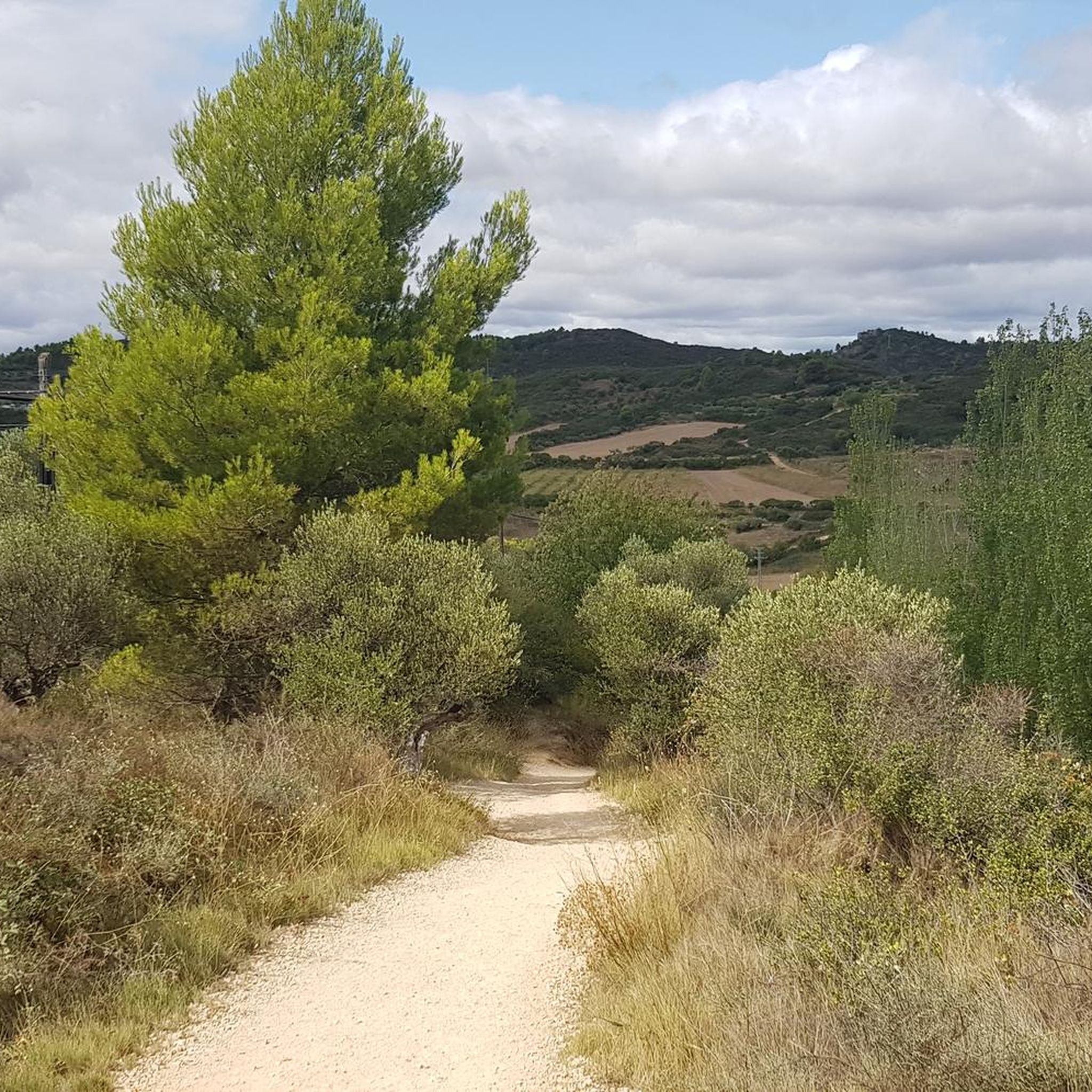
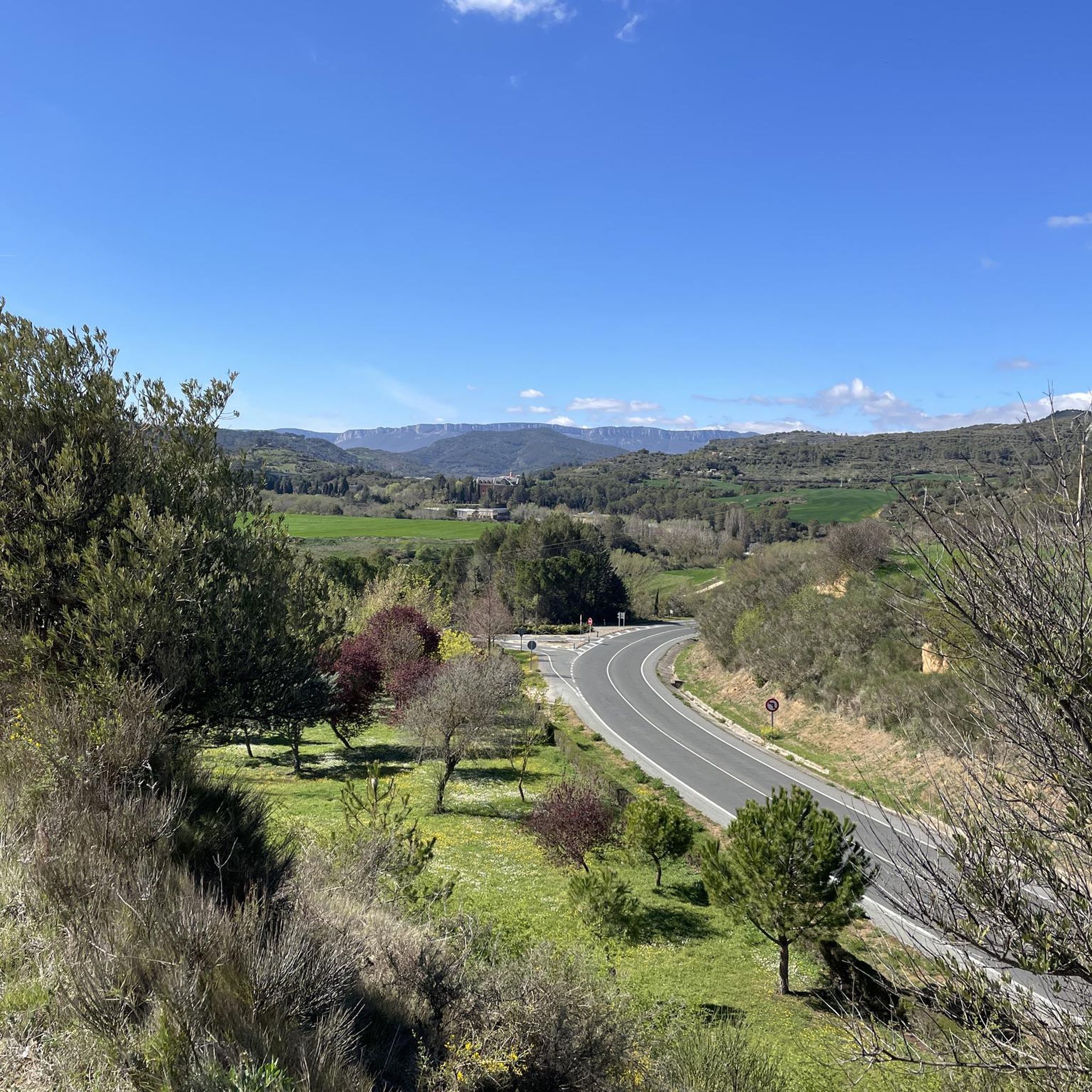
The hiking trails around Villatuerta feature diverse terrain, including river valleys, mixed forests of mature oak and holm oak, and elevated viewpoints. You'll encounter paths along the Iranzu River, through dense shrublands, and up to spots offering panoramic views of the surrounding landscape.
Are there any easy or family-friendly hiking options in Villatuerta?
Yes, Villatuerta has 34 easy routes suitable for families or those looking for a relaxed walk. Many of these trails explore the local landscape and historical sites without significant elevation changes. For example, the local government has marked several trails originating from the urban center that are suitable for walking.
Can I find circular hiking routes in the Villatuerta area?
Absolutely. Many trails around Villatuerta are circular, allowing you to start and end in the same location. An example is the Ruta del Zumaque – circular from Estella-Lizarra through the Parque de los Desvelados, a moderate 10.3 km path. Another option is the Peñarroya & Peña Negra - circular desde Estella-Lizarra, which also offers a circular experience through local hills.
What historical landmarks can I see while hiking near Villatuerta?
Villatuerta is rich in history, particularly due to its location on the Camino de Santiago. You can visit the 13th-century Romanesque bridge over the Iranzu River within the town. Nearby, hikers can explore the Puente la Reina Romanesque Bridge, the Iglesia de San Pedro de la Rúa in Estella-Lizarra, or the unique Irache Fountain, which famously dispenses wine.
Are there any trails that offer panoramic views?
Yes, several trails in the region are known for their impressive vistas. The 'Cruz de Mauriain' route, mentioned in local information, is specifically highlighted for its spectacular views from higher elevations. Additionally, the Peñarroya & Peña Negra - circular desde Estella-Lizarra trail explores local hills and provides panoramic views.
What is the best time of year to go hiking in Villatuerta?
The varied forests and natural features of Villatuerta make it appealing across seasons. Spring and autumn generally offer pleasant temperatures and vibrant landscapes, with autumn also being notable for mushroom production in the shady forests. Summer can be warm, so early morning or late afternoon hikes are often preferred.
What do other hikers say about the trails in Villatuerta?
The hiking routes in Villatuerta are highly regarded by the komoot community, holding an average rating of 4.3 stars from over 150 reviews. Hikers often praise the diverse terrain, the historical significance of the Camino de Santiago, and the well-maintained paths that lead through river valleys and mixed forests.
Are there any specific natural features or wildlife I might encounter?
Villatuerta's natural environment is characterized by the Iranzu River, diverse mixed forests of oak and holm oak, and dense shrublands. The region is also known for significant mushroom production in its humid forests. While specific wildlife sightings vary, the varied habitats support a range of local flora and fauna.
How can I access the trails around Villatuerta, and is parking available?
Many trails, including those marked by the local government, originate directly from the urban center of Villatuerta, making them accessible. While specific parking information for each trailhead isn't detailed, Villatuerta is a small town, and parking is generally available within or on the outskirts of the village, especially near popular starting points for local routes.
Are there any long-distance or challenging hikes in the area?
Yes, for those seeking more challenging experiences, Villatuerta offers 27 difficult routes. The Rest Area Under Olive Trees – Iglesia de San Pedro de la Rúa loop from Lorca / Lorka is a difficult 25.9 km route, providing a substantial challenge. The region's connection to the Camino de Santiago also means longer segments of this historic pilgrimage route are accessible.
What is the significance of the Camino de Santiago in Villatuerta?
Villatuerta holds historical importance as a stop along the French Way of the Camino de Santiago. Pilgrims often pass through the town on the Pamplona-Estella route. This connection means many trails in the area are part of or intersect with this renowned pilgrimage path, offering a blend of natural beauty and cultural heritage.
Most popular routes around Villatuerta
Most popular attractions around Villatuerta

Get inspired with the komoot mobile app


Explore more
Browse the best Hikes in other regions.
