The best road cycling routes around El Barraco
4.2
(10)
3,024
riders
68
rides
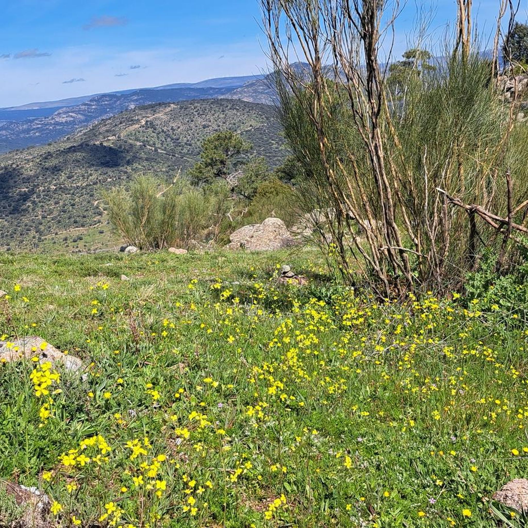
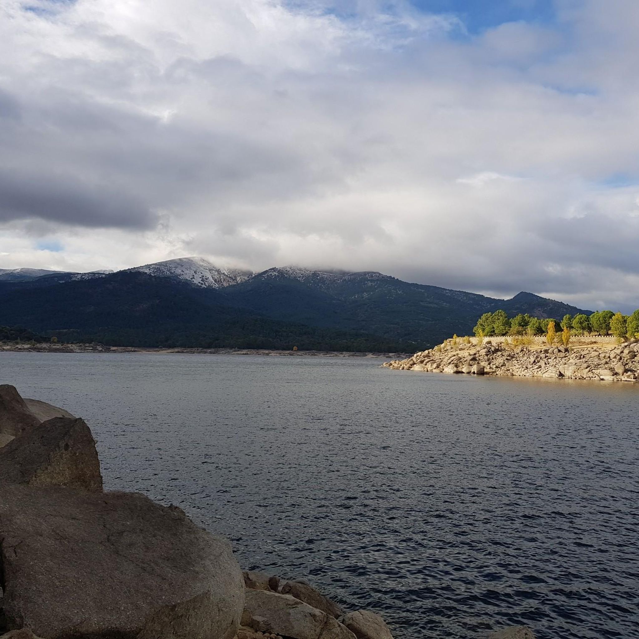
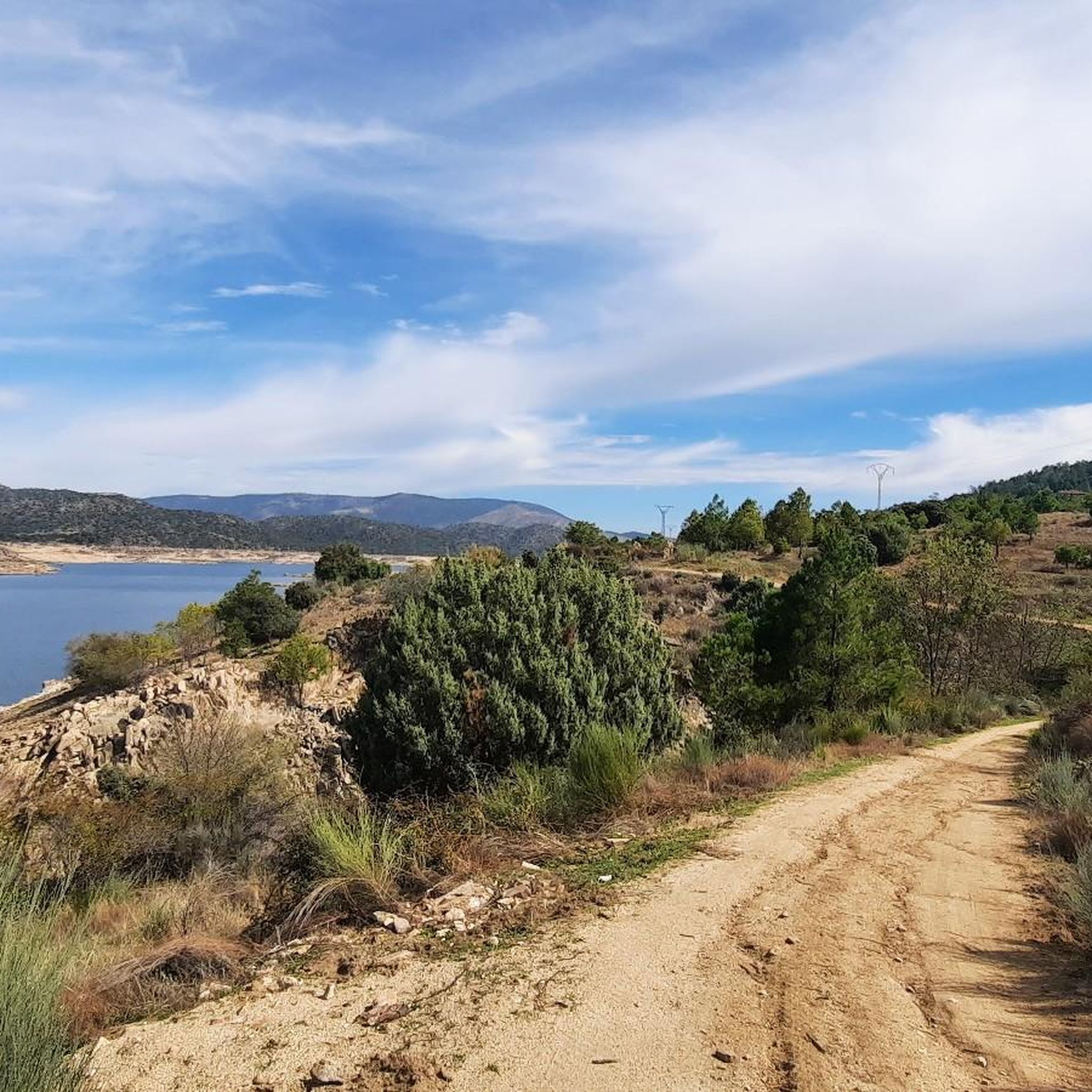
Road cycling around El Barraco offers diverse landscapes and terrain, featuring rolling hills and continuous ascents suitable for various fitness levels. The region is characterized by natural features such as the El Burguillo Reservoir and the Valle de Iruelas Nature Reserve, providing scenic backdrops for routes. Cyclists can navigate well-paved surfaces through mountain pastures, dense pine forests, and juniper groves. This varied topography presents a good test for endurance without featuring singular high mountain passes.
Best road cycling routes around…
Last updated: May 15, 2026
3.0
(1)
70
riders
72.9km
03:47
1,290m
1,290m
Hard road ride. Very good fitness required. Some segments of this route may be unpaved and difficult to ride.
64
riders
31.4km
01:23
200m
200m
Easy road ride. Great for any fitness level. Mostly well-paved surfaces and easy to ride.

Sign up for free
57
riders
71.8km
03:19
880m
880m
Moderate road ride. Good fitness required. Mostly well-paved surfaces and easy to ride.
25
riders
80.2km
04:03
1,290m
1,290m
Hard road ride. Very good fitness required. Mostly well-paved surfaces and easy to ride.
19
riders
64.0km
03:25
1,260m
1,260m
Hard road ride. Very good fitness required. Mostly well-paved surfaces and easy to ride.
Get access to more routes and recommendations from other explorers.
Sign up for free
Already have an account?
Our route recommendations are based on thousands of hikes, rides, and runs completed by other people on komoot.
Start today with a free account
Your next adventure awaits.
Login or Signup

Tips from the Community

Los Toros de Guisando are a set of zoomorphic sculptures of Vettonian origin, carved in granite between the 4th and 2nd centuries BC. They probably represent bulls or verracos and were linked to rituals for the protection of livestock and the delimitation of territory.
0
0

Beautiful road alongside the reservoir, very quiet. It has no paved exit.
0
0

The park extends between the bridge over the Chico River, the extension of Nuestra Señora de Sonsoles Street, and the Burgohondo road bridge, bordering Juan Pablo II Avenue. One of the most popular routes is the circular route from the Roman Bridge over the Adaja River, ideal for easy walks and enjoying the park's natural surroundings.
1
0

In the southwest area of the city.
0
1

The cycle trip continues along the lane of the Jacobean route until it connects with the Cebreros highway. The route continues along the side of the road, passing through the popular port of Arrebatacapas and another descent to Cebreros, a mountain town with a wine-growing tradition that would be a good place to finish the second stage when organized as a three-day trip. The Camino de Levante descends from the port along a mountain path that is quite technical and difficult by bicycle, suitable for trail experts and everyone can choose. The path begins next to the port sign and ends where the road enters the urban complex. The track goes down the road, crosses the town and continues the descent along the old Camino Real de Toledo, used by the funeral procession of Isabel la Católica when they carried her remains from Medina del Campo to Granada. At the Cebreros exit there are remains of the old medieval road and on the Alberche River there are the monumental bridges of Valsordo and Santa Yusta, used since Roman times, although they have undergone several reconstructions throughout history. The climb coincides with the last arrows of the Camino de Levante and deviates through the Puente Nuevo urbanization towards San Martín de Valdeiglesias, following the markings of the GR-10 long-distance path, with several hard ramps on the Camino de la Aliseda.
0
0
Stage 2. Ávila/Madrid 140 km. 2,500 m positive. On the way back to Madrid we followed the route of the Camino de Santiago de Levante to the Alberche River with some variations to maintain cyclability and an acceptable average. The yellow arrows on the Jacobean route point towards Santiago de Compostela and at some intersections it is not easy to see them in the opposite direction. The track is essential to follow these “author” routes. The route leaves Ávila along the plain of the Chico River to Tornadizos de Ávila and continues along the cattle trails from the sources of the Tornadizos River to some spectacular pastoral meadows in the hills of El Cabezuelo. The final stretch of the climb follows a path that has good cyclability with good grinding technique and expertise on mountain trails. The path passes a gate with yellow arrows and goes down to the port of Boquerón, between the Cuerda de los Polvisos and the Malagón mountain range, one of the entrances to the great Herradón de Pinares grave. The descent along the Camino de Santiago is an uncomfortable and complicated trial with the bags due to the pavement and the vegetation and to maintain the pace we go down the road gliding over a deceptive landscape, we pass through El Herradón and continue to San Bartolomé de Pinares. The climb through the cobblestone streets of the town is tough and the exit through the forks of the Camino de Levante ends with an infernal wall, until the slope ends on a hill adorned with a milestone of the Jacobean route that has indications of the distances to different places. in the world, from Ávila and Madrid to Beijing or New Zealand.
0
0
Aldea del Rey Niño is a Spanish district that belongs to the municipality of Ávila, capital of the homonymous province, in the autonomous community of Castilla y León. Although its full history is not yet fully documented, archaeological remains have been found indicating the existence of Roman settlements in the area. The town is located inside the municipality of Ávila, in the foothills of the Sierra de Yemas. If you ever get the chance, I highly recommend exploring this charming area. 🏞️🌿
2
0
The arrangement of the sculptures is interesting: they are side by side, forming a line in a north-south direction and all of them facing west, to the hill of Cerro de Guisando, from which they receive their name. The Tórtolas stream, which is located behind it, marks the natural border between the communities of Castilla y León and Madrid.
13
0
Frequently Asked Questions
What kind of terrain and landscapes characterize road cycling in El Barraco?
Road cycling in El Barraco features diverse landscapes with rolling hills and continuous ascents, offering a good test for endurance without necessarily featuring huge, singular mountain passes. You'll ride on mostly well-paved surfaces through mountain pastures, dense pine forests, and juniper groves, with scenic views of the El Burguillo Reservoir and the Valle de Iruelas Nature Reserve.
Are there road cycling routes suitable for beginners or families in El Barraco?
Yes, El Barraco offers routes for various fitness levels, including easier options. For a gentler ride through varied landscapes with minimal elevation, consider the Aldea del Rey Niño – Río Chico Park loop from Las Carboneras, which is an easy 19.5-mile (31.4 km) path.
Where can I find more challenging road cycling routes in El Barraco?
For those seeking a challenge, El Barraco has numerous difficult routes with significant elevation gain. A popular option is the Views of Hoyo de Pinares – Viewpoint of the city of Madrid loop from El Tiemblo, a difficult 45.2-mile (72.9 km) trail featuring panoramic views and substantial climbing.
What are some notable natural attractions or landmarks to see while road cycling in El Barraco?
Many routes offer stunning views of the El Burguillo Reservoir, a hub for recreation. You can also experience the breathtaking panoramic views from the Puerto de Casillas – Entrance to the Valle de Iruelas Nature Reserve, which encompasses the reservoir, the Alberche River, and distant Sierras de la Paramera.
Are there circular road cycling routes available in El Barraco?
Yes, many road cycling routes in El Barraco are circular, allowing you to start and end in the same location. An example is the scenic El Burguillo Reservoir – Burguillo Reservoir loop from El Tiemblo, a 53.5-mile (86.1 km) trail that takes you around the reservoir area.
What is the best season for road cycling in El Barraco?
The region's climate generally supports road cycling for much of the year. However, spring and autumn often provide the most comfortable temperatures for longer rides, avoiding the peak heat of summer while still offering pleasant conditions.
What do other road cyclists enjoy most about the routes in El Barraco?
The road cycling routes in El Barraco are highly rated by the komoot community, with an average score of 4.2 stars from over 10 reviews. Cyclists often praise the diverse landscapes, the continuous ascents that build strength, and the scenic backdrops provided by the El Burguillo Reservoir and the Valle de Iruelas Nature Reserve.
Are there any mountain passes suitable for road cycling near El Barraco?
Yes, the area around El Barraco features several mountain passes that are popular with road cyclists. Besides the Puerto de Casillas, you can also explore passes like Puerto de Arrebatacapas and Puerto de Navalmoral, offering varied climbing challenges and views.
How many road cycling routes are available in El Barraco?
There are over 80 road cycling routes available around El Barraco, catering to a wide range of abilities. This includes 7 easy routes, 27 moderate routes, and 52 difficult routes, ensuring options for every cyclist.
Can I find routes that pass by historical or cultural sites in El Barraco?
While primarily known for its natural beauty, El Barraco itself has historical depth, including the Gothic-Isabelline Church of Nuestra Señora de la Asunción. Some routes may pass through or near the town, allowing you to appreciate its heritage. For example, the Castle of la Coracera – Burguillo Reservoir loop from El Tiemblo offers a moderate ride that includes a historical landmark.
Are there options for shorter or longer road cycling routes in the region?
Yes, the routes around El Barraco vary significantly in length. You can find shorter loops, such as the Embalse del Burguillo – Burguillo Reservoir loop from El Tiemblo, which is a moderate 24.3-mile (39.0 km) ride, or opt for much longer and more challenging excursions exceeding 50 miles (80 km).
Most popular attractions around El Barraco

Get inspired with the komoot mobile app


Explore more
Browse the best Road cycling routes in other regions.
