The best cycling routes around Becedillas
5.0
(2)
42
riders
17
rides
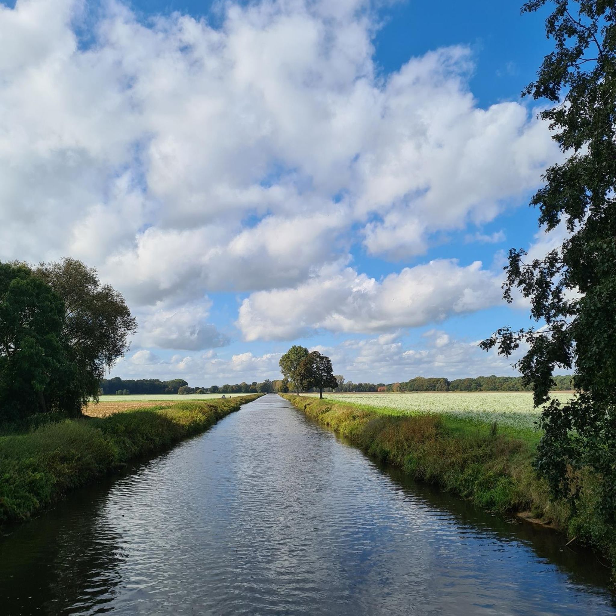
Touring cycling around Becedillas is situated in the Corneja valley, within the province of Ávila, Spain. This region features a mix of cereal fields and pastures, offering expansive views and a tranquil rural setting. The area is positioned at the foothills of the Sierra de Ávila, providing access to varied terrain from gentle valley rides along the Becedillas River to more challenging climbs into the sierra. Routes can extend towards the Sierra de Gredos, featuring significant elevation gains and demanding…
Last updated: June 28, 2026
25
riders
35.7km
02:47
930m
930m
Hard bike ride. Very good fitness required. Mostly paved surfaces. Suitable for all skill levels.
5
riders
41.3km
03:55
600m
590m
Hard bike ride. Very good fitness required. Mostly paved surfaces. Suitable for all skill levels.

Sign up for free
5.0
(1)
3
riders
40.9km
03:04
600m
600m
Hard bike ride. Very good fitness required. Mostly paved surfaces. Suitable for all skill levels.
5.0
(1)
3
riders
39.3km
02:56
630m
640m
Hard bike ride. Very good fitness required. Mostly paved surfaces. Suitable for all skill levels.
3
riders
Moderate bike ride. Good fitness required. Mostly paved surfaces. Suitable for all skill levels.
Get access to more routes and recommendations from other explorers.
Sign up for free
Already have an account?
Our route recommendations are based on thousands of hikes, rides, and runs completed by other people on komoot.
Start today with a free account
Your next adventure awaits.
Login or Signup
Popular around Becedillas


Tips from the Community

Also known as the Dávila Castle, it is one of the most important constructions found along the route of the Cañada Real Soriana Occidental. The Castle cannot be understood without the medieval bridge over the river Tormes. Together, they functioned as a control point for the passage of people and goods. According to documentation, Queen Isabella I and Emperor Charles V stayed overnight in the fortress.
0
0

The Church of Our Lady of the Assumption was built in the 14th century on the site of the old fortress and rebuilt in the 16th century. Of considerable size, its polygonal sanctuary and transept stand out, towering above the rest of the church and displaying magnificent ashlar masonry and stepped prismatic buttresses. The apse and the central section of the transept are covered with star-shaped ribbed vaults. They are the work of Lucas Giraldo and Juan Gutiérrez, two of the finest architects of the 16th century. The body of the church, with three naves formed by wide semicircular arches rising from octagonal pillars, resembles a large hall. It is entered through two doorways with pointed and splayed arches on pilasters, sheltered by simple alfices. The very simple, rectangular tower features ashlar masonry in the lower section, granite ashlar in the upper section, and balls in the cornice. Inside, the main altarpiece, dating from the early 18th century, is Churrigueresque in the main section and Rococo in the shell to match the shape of the apse vault, the sacristy altarpiece, and other altarpieces distributed throughout the naves of the church.
1
0

Beautiful views, on a good day you can see people taking off on paragliders.
0
0
La Horcajada is located in the southwest triangle of the province of Ávila. It is practically the space between the foothills of Gredos and the mountain ranges of Malpartida and Collado del Mirón, on the one hand, and the port of Villatoro and the confluence of the Corneja and Tormes rivers, on the other. This surface has been called "Valdecorneja" for centuries. The Cancionero de Baeza, from 1445, for example, records this. The four most important towns in the Valley are, possibly since Vetton times or before, El Mirón, Piedrahíta, La Horcajada and El Barco de Ávila. La Horcajada is located about 75 kilometers southwest of the provincial capital, Ávila, about 82 kilometers from Salamanca and 185 kilometers from Madrid. The town is located at 1033 m above sea level. n. m. between the towns of Piedrahíta and Barco de Ávila on the slopes of the Sierra de la Horcajada.
1
0
A large port, 15 km long if we start from Piedrahita, and with a constant slope of 6% except for a couple of short sections that are less and some sections that reach 9%, but very punctual. The condition of the asphalt is good, it is one of the few ports in the area with a surface in good condition. Upstairs it has very good views and there are usually people doing paragliding (if the weather conditions allow it)
0
0
Well-preserved castle and medieval bridge
0
0
Old bridge, currently misnamed La Fonseca, its real historical name is La Ponseca. It belongs to the municipality of La Horcajada, which has also recently been rehabilitated because its rock was detaching and its stability was beginning to be endangered. It crosses the river Corneja and as a curiosity, Emperor Carlos V passed over this bridge on his retirement journey to the Yuste monastery.
2
0

Huge park that is located in front of the palace of the Dukes of Alba. A large palace surrounded by walls and which is difficult not to see as it is one of the important points of the town.
0
0
Frequently Asked Questions
What is the general difficulty level of touring cycling routes around Becedillas?
Touring cycling routes in Becedillas range from moderate to difficult. While there are no easy routes listed, you'll find 4 moderate routes and 10 difficult routes. The more challenging options often involve significant elevation gains, especially those extending into the Sierra de Ávila or towards the Sierra de Gredos, such as the Puerto de Peña Negra loop from Piedrahíta.
Are there any circular touring cycling routes in the Becedillas area?
Yes, many of the touring cycling routes around Becedillas are designed as loops. For example, you can explore the Palace of the Dukes of Alba – Peña Negra Pass loop from Piedrahíta, which offers a challenging ride with a significant climb. Another option is the Castle of Bonilla de la Sierra loop from Tórtoles, taking you through varied rural scenery.
What kind of landscapes can I expect to see while touring cycling near Becedillas?
The region offers diverse and picturesque landscapes. You'll cycle through the tranquil Corneja valley, characterized by cereal fields and pastures, providing expansive rural views. As you venture further, routes ascend into the foothills of the Sierra de Ávila, offering more mountainous terrain and rewarding panoramic vistas. The Becedillas River also adds natural water features to the scenery.
Are there any notable landmarks or attractions along the touring cycling routes?
Yes, the area around Becedillas features several interesting landmarks. You might encounter historical sites like the El Mirón Castle or the Castle of Bonilla de la Sierra. Religious architecture such as the Church of Our Lady of the Assumption can also be found. For natural points of interest, consider visiting El Barrancon Spring.
What do other touring cyclists enjoy the most about cycling in Becedillas?
The touring cycling routes in Becedillas are highly rated by the komoot community, with an average score of 5.0 stars. Cyclists often praise the blend of serene valley rides and challenging mountain ascents, particularly the panoramic views from passes like Peña Negra. The tranquil rural setting and diverse terrain are frequently highlighted as key attractions.
Are there any shorter or moderate touring cycling routes suitable for less experienced cyclists?
While many routes are classified as difficult, there are moderate options available. For instance, the Bike loop from Piedrahíta is a moderate 34.1 km route with a manageable elevation gain of around 385 meters. Another moderate choice is a different Bike loop from Piedrahíta, covering 32.8 km with less elevation.
What is the best time of year for touring cycling in Becedillas?
Given its location in the foothills of the Sierra de Ávila, spring and autumn generally offer the most pleasant conditions for touring cycling in Becedillas. Temperatures are milder, and the landscapes are vibrant. Summer can be quite warm, especially in the valley, while winter might bring colder temperatures and potentially snow at higher elevations, making some routes more challenging.
Are there options for parking at the trailheads for touring cycling routes?
While specific parking facilities for each trailhead are not detailed, many routes start from towns like Piedrahíta or Tórtoles. These villages typically offer public parking options within their centers, providing convenient access to the start and end points of the cycling loops.
How long do touring cycling routes around Becedillas typically take to complete?
The duration of routes varies significantly based on distance and elevation. Moderate routes, such as the 34.1 km Bike loop from Piedrahíta, can take around 2 hours 17 minutes. More challenging routes, like the 58 km Puerto de Peña Negra loop from Piedrahíta with over 1300 meters of ascent, can require over 4 hours to complete.
Can I find cafes or places to stop for refreshments along the touring cycling routes?
The routes often connect or pass through small towns and villages in the Corneja valley and surrounding areas, such as Piedrahíta and Tórtoles. These settlements are likely to have local cafes, bars, or small shops where you can stop for refreshments, especially in the larger towns that serve as starting points for many tours.
Are there any routes that offer particularly scenic viewpoints?
Routes that climb into the Sierra de Ávila, particularly those incorporating passes like Puerto de Peña Negra, are renowned for their panoramic views. The Puerto de Peña Negra loop from Piedrahíta is specifically highlighted for offering substantial elevation gain and panoramic views of the surrounding mountainous landscape.
How many touring cycling routes are available in total around Becedillas?
There are 14 touring cycling routes available around Becedillas, offering a variety of distances and difficulty levels to explore the Corneja valley and the foothills of the Sierra de Ávila.
Most popular routes around Becedillas
Most popular attractions around Becedillas

Get inspired with the komoot mobile app


Explore more
Browse the best Cycling routes in other regions.
