The best road cycling routes around Fresneda De Altarejos
3.0
(1)
55
riders
8
rides
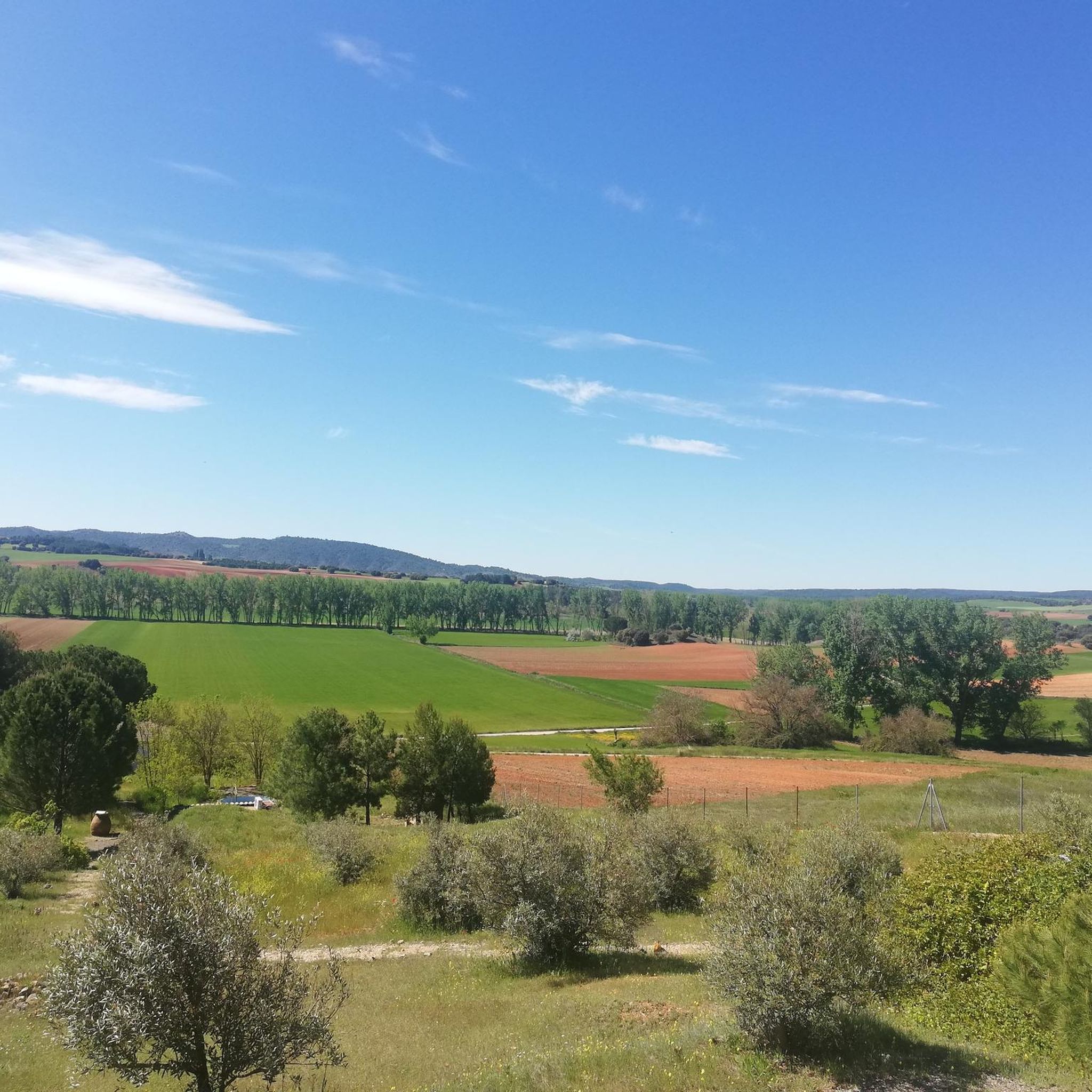
Road cycling routes around Fresneda De Altarejos traverse a varied landscape within the province of Cuenca, Spain. The terrain features a mix of cereal fields, holm oaks, and savin junipers, with altitudes ranging from 820 to 1080 meters above sea level. This provides diverse gradients and scenic vistas for road cyclists. The region is characterized by geological formations and the Júcar River, which forms a boundary of the municipal area.
Best road cycling routes around Fresneda De Altarejos
- The most…
Last updated: July 11, 2026
19
riders
62.2km
03:07
870m
870m
Moderate road ride. Good fitness required. Some segments of this route may be unpaved and difficult to ride.
3.0
(1)
8
riders
Moderate road ride. Good fitness required. Mostly well-paved surfaces and easy to ride.

Sign up for free
9
riders
65.6km
03:00
750m
750m
Moderate road ride. Good fitness required. Mostly well-paved surfaces and easy to ride.
4
riders
61.1km
02:58
920m
920m
Hard road ride. Very good fitness required. Mostly well-paved surfaces and easy to ride.
5
riders
63.3km
03:05
610m
610m
Moderate road ride. Good fitness required. Some segments of this route may be unpaved and difficult to ride.
Get access to more routes and recommendations from other explorers.
Sign up for free
Already have an account?
Our route recommendations are based on thousands of hikes, rides, and runs completed by other people on komoot.
Start today with a free account
Your next adventure awaits.
Login or Signup
Popular around Fresneda De Altarejos
Tips from the Community


Villar de Olalla is a lovely place to visit! Church of the Nativity of Our Lady: A 16th century church with an impressive dome and wooden altarpiece. It offers numerous trails and routes to explore on foot or by bike.🌄🚶♀️🚵🚴😎
11
0

Ideal place to recharge water and rest for a while on our route!
1
0
Small rest area with benches and fresh water (and little fish) where you can regain strength.
0
0

The town of Huerta de la Obispalía is located at the top of a hill where you can see the group of houses that form the same nucleus. But from afar you can see the ruins of what used to be his castle!
0
1
In this small bridge that comes from the mountains of the Altarejos towns we find good views of the Río Júcar that crosses this beautiful area near Cuenca.
0
0
Typical small town of the province of Cuenca and which is surrounded by a set of rounded hills and large areas of land that in this case end at the Alarcón Reservoir.
0
0

Municipality located 50 km from Cuenca and 5 km from the Alarcón Reservoir. It has only 300 inhabitants. The surroundings are very beautiful and pedaling along the CM-2103 is a real pleasure.
2
0
Frequently Asked Questions
What is the general terrain like for road cycling around Fresneda de Altarejos?
The region around Fresneda de Altarejos offers a varied landscape for road cycling. You'll encounter a mix of cereal fields, holm oaks, and savin junipers. The altitude ranges from 820 to 1080 meters above sea level, providing diverse gradients and scenic vistas. The area is characterized by rolling hills, geological formations, and the Júcar River valley.
What are the difficulty levels of road cycling routes in Fresneda de Altarejos?
Road cycling routes in Fresneda de Altarejos cater to various skill levels. Most routes are rated as moderate, with 7 out of 8 routes falling into this category. There is also one difficult route available for more experienced cyclists. The terrain's varied gradients contribute to these different difficulty ratings.
Are there any long-distance road cycling routes available?
Yes, several routes offer significant distances. For example, the Albaladejo del Cuende – Views of the Alarcón Reservoir loop from Altarejos is a moderate 45.3 miles (72.9 km) path. Another option is the Villar de Olalla – Júcar River loop from Villarejo Seco, which covers 38.6 miles (62.1 km).
What kind of natural features or landmarks can I expect to see along the road cycling routes?
The routes often feature diverse natural beauty. You can expect to see geological formations that reveal millions of years of sedimentation, and the Júcar River, which forms a boundary of the municipal area. The wider Serranía de Cuenca region, which encompasses Fresneda de Altarejos, is known for extensive forests of Scots pine, black pine, and oak groves, as well as picturesque ravines and canyons. Specific highlights nearby include Puerto de Cabrejas and the Centennial Pine Near Malpensa.
Are there any circular road cycling routes in the area?
Yes, many of the routes are designed as loops, allowing you to start and finish in the same location. Examples include the Villar de Olalla – Júcar River loop from Villarejo Seco, the Albaladejo del Cuende – Views of the Alarcón Reservoir loop from Altarejos, and the Villar de Olalla – Júcar River loop from Altarejos.
What is the best time of year for road cycling in Fresneda de Altarejos?
The region benefits from mild summer temperatures, making it pleasant for cycling during those months. Autumn also offers vibrant colors, providing a beautiful backdrop for your rides. The varied terrain and natural features can be enjoyed across different seasons, but summer and autumn are particularly appealing.
What do other road cyclists say about the routes in Fresneda de Altarejos?
The road cycling routes in Fresneda de Altarejos are rated by the komoot community with an average score of 3.0 stars. Over 50 road cyclists have used komoot to explore the area's varied terrain, appreciating the diverse gradients and scenic vistas.
Are there any historical or cultural points of interest along the routes?
Beyond natural beauty, the area offers cultural heritage. The ancient transhumance route known as the Cañada Real passes through the village. You can also find historical structures such as the Church of Nuestra Señora de la Asunción, the Hermitage of San Bartolomé, and a Necrópolis within the village. Nearby, you might encounter the Villar de Olalla or Albaladejo del Cuende, which are settlements with their own charm.
Where can I find parking for road cycling in Fresneda de Altarejos?
While specific parking areas for cyclists are not detailed in the route information, Fresneda de Altarejos is a small municipality. You can typically find parking within the village itself, especially near the start points of many routes, allowing for convenient access to your ride.
Are there any routes that offer views of the Alarcón Reservoir?
Yes, the Albaladejo del Cuende – Views of the Alarcón Reservoir loop from Altarejos is a moderate route specifically designed to provide expansive views, including those of the Alarcón Reservoir.
What is the most challenging road cycling route in the area?
For those seeking a more demanding ride, the Júcar River – Villarejo-Periesteban loop from Altarejos is rated as difficult. This route features significant elevation changes, with over 900 meters of ascent and descent, offering a rewarding experience for advanced cyclists.
Most popular routes around Fresneda De Altarejos
Most popular attractions around Fresneda De Altarejos

Get inspired with the komoot mobile app


Explore more
Browse the best Road cycling routes in other regions.
