The best walks and hikes around La Atalaya
5.0
(5)
19
hikers
7
hikes
Hiking around La Atalaya offers diverse landscapes, from Mediterranean woodlands to rocky outcrops and varied viewpoints. The region features extensive holm oak groves, alongside broom and rockrose, contributing to its unique natural environment. Geological characteristics include quartzite outcrops, providing distinct terrain for hikers. Panoramic views often reveal plains, traditional crops, and distant mountain ranges.
Best hiking trails around La Atalaya
- The most popular hiking route is Majá Robledo Trail, a 4.6 miles (7.4 km) trail that takes 2 hours…
Last updated: June 28, 2026
5.0
(1)
2
hikers
7.39km
02:19
280m
280m
Hike the moderate 4.6-mile Majá Robledo Trail in Las Hurdes, gaining 935 feet with stunning views from Pregonera Viewpoint.
5.0
(3)
7
hikers
9.57km
03:11
450m
450m
Moderate hike. Good fitness required. Easily-accessible paths. Suitable for all skill levels.

Sign up for free
2
hikers
8.68km
02:20
110m
110m
Moderate hike. Good fitness required. Easily-accessible paths. Suitable for all skill levels.
2
hikers
9.62km
02:39
150m
150m
Moderate hike. Good fitness required. Easily-accessible paths. Suitable for all skill levels.
5.0
(1)
2
hikers
13.4km
03:35
160m
160m
Moderate hike. Good fitness required. Easily-accessible paths. Suitable for all skill levels.
Get access to more routes and recommendations from other explorers.
Sign up for free
Already have an account?
Our route recommendations are based on thousands of hikes, rides, and runs completed by other people on komoot.
Start today with a free account
Your next adventure awaits.
Login or Signup
Popular around La Atalaya
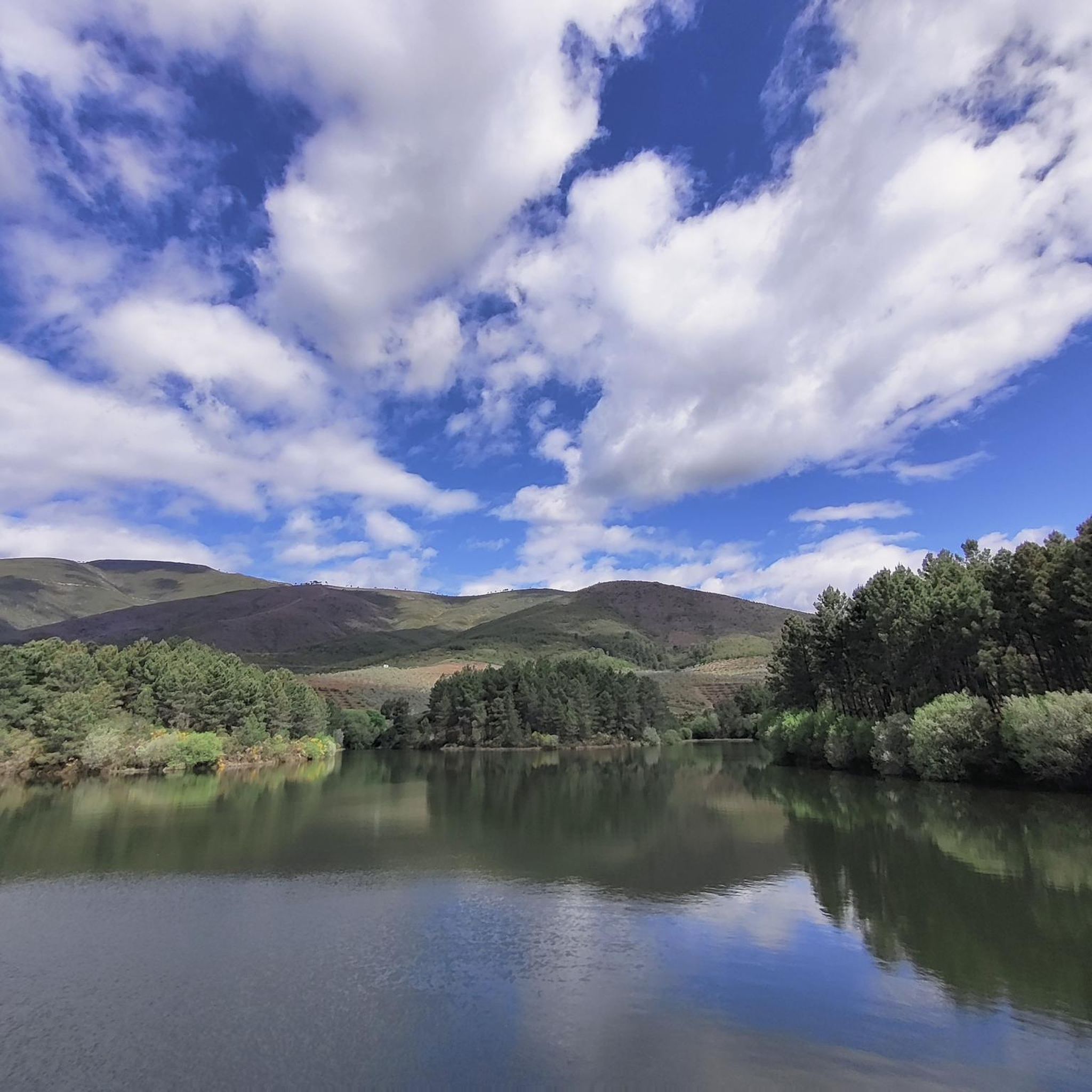
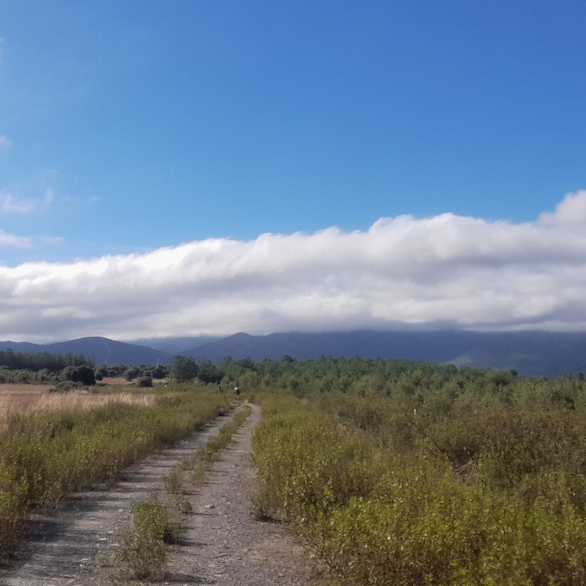

Tips from the Community

Passing through the town of Serradilla del Arroyo, you come to the Parochial Church of San Lorenzo, which is located one side of the road and is tidy and beautiful.
0
0
Small town that is part of the nucleus of Zamarra, on the other side of the Las Vegas River. In the town, the church appears, in its central part!
0
0

Nice panoramic point very close to the border with Salamanca and that allows you to clearly appreciate the picturesque landscape of the north of Extremadura. A route that can be started in Casarrubia, which can be easily reached by car.
3
0

Easy route to go with children
1
0
Frequently Asked Questions
What kind of landscapes can I expect to see while hiking around La Atalaya?
La Atalaya offers a diverse range of landscapes, from extensive Mediterranean woodlands dominated by holm oak groves to unique geological features like rocky quartzite outcrops. You can also enjoy panoramic views that reveal volcanic features, the plains of La Mancha, and the distant Sierras of Montes de Toledo and Montes de Ciudad Real.
Are there any easy hiking trails suitable for beginners in La Atalaya?
Yes, there is at least one easy trail available. For a relaxed experience, consider the Charca de Agallas loop from Agallas, which is rated as easy and offers a gentle introduction to the area's natural beauty.
What are some notable viewpoints or landmarks to look out for on the trails?
The region boasts several scenic spots. The Pregonera Viewpoint is a popular highlight, offering expansive vistas. You might also encounter historical sites like the Monastery of La Caridad, or traverse mountain passes such as Robledo Pass and Esperabán Pass.
Are there any circular hiking routes available in La Atalaya?
Yes, many of the trails around La Atalaya are designed as circular routes, allowing you to start and end in the same location. Examples include the Pregonera Viewpoint loop from Casares de las Hurdes, the Charca de Agallas loop from Agallas, and the Serradilla del Arroyo loop from Serradilla del Arroyo.
What is the general difficulty level of hiking trails in La Atalaya?
Most of the hiking trails in La Atalaya are rated as moderate. These routes typically involve some elevation gain and varied terrain, making them suitable for hikers with a reasonable level of fitness. There is also at least one easy trail for those seeking a less strenuous walk.
What kind of wildlife might I encounter while hiking in La Atalaya?
La Atalaya is a significant ecological area, serving as a protected zone for endangered species. Hikers might be fortunate enough to spot rare birds of prey such as the Imperial Eagle and the Black Vulture, among other Mediterranean wildlife.
What do other hikers say about the trails in La Atalaya?
The hiking experiences in La Atalaya are highly rated by the komoot community, with an average score of 5.0 stars. Hikers often praise the stunning panoramic views, the tranquility of the Mediterranean woodlands, and the well-preserved natural environment.
How long do the moderate hikes typically take in La Atalaya?
Moderate hikes in La Atalaya vary in length and duration. For instance, the Majá Robledo Trail takes approximately 2 hours and 20 minutes, while the Pregonera Viewpoint loop from Casares de las Hurdes can take around 3 hours and 10 minutes. The longest moderate route, the Villarejo, Zamarra loop from Agallas, typically takes over 3 hours and 30 minutes.
Are there any longer, more challenging routes for experienced hikers?
While most routes are moderate, some offer a longer distance and more sustained effort. The Villarejo, Zamarra loop from Agallas is the longest route listed, covering over 13 kilometers with moderate elevation changes, providing a good option for those looking for a longer day out.
What is the best time of year to go hiking in La Atalaya?
Given the Mediterranean climate, spring and autumn are generally the most pleasant seasons for hiking in La Atalaya. The temperatures are milder, and the natural scenery is vibrant. Summer can be very hot, while winter offers cooler, crisp conditions, though some trails might be affected by weather.
Most popular attractions around La Atalaya

Get inspired with the komoot mobile app


Explore more
Browse the best Hikes in other regions.
