The best walks and hikes around Los Corrales De Buelna
4.4
(201)
1,389
hikers
25
hikes
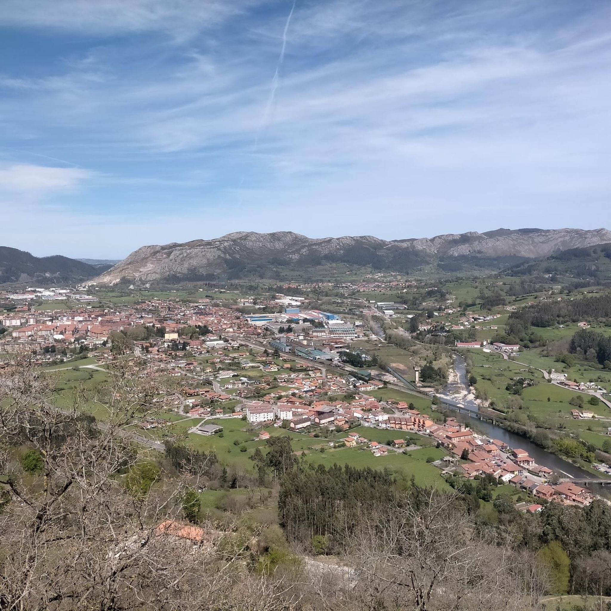
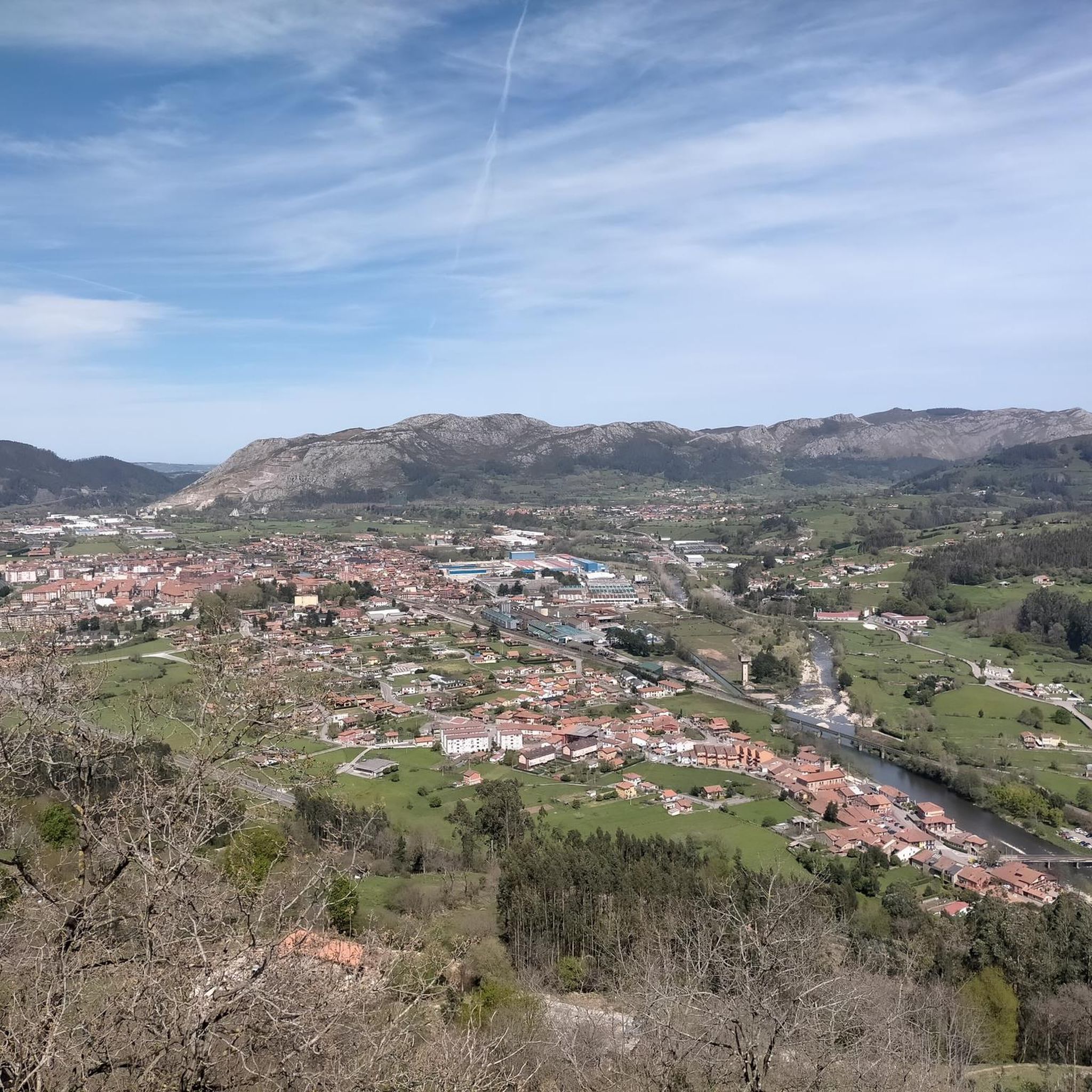
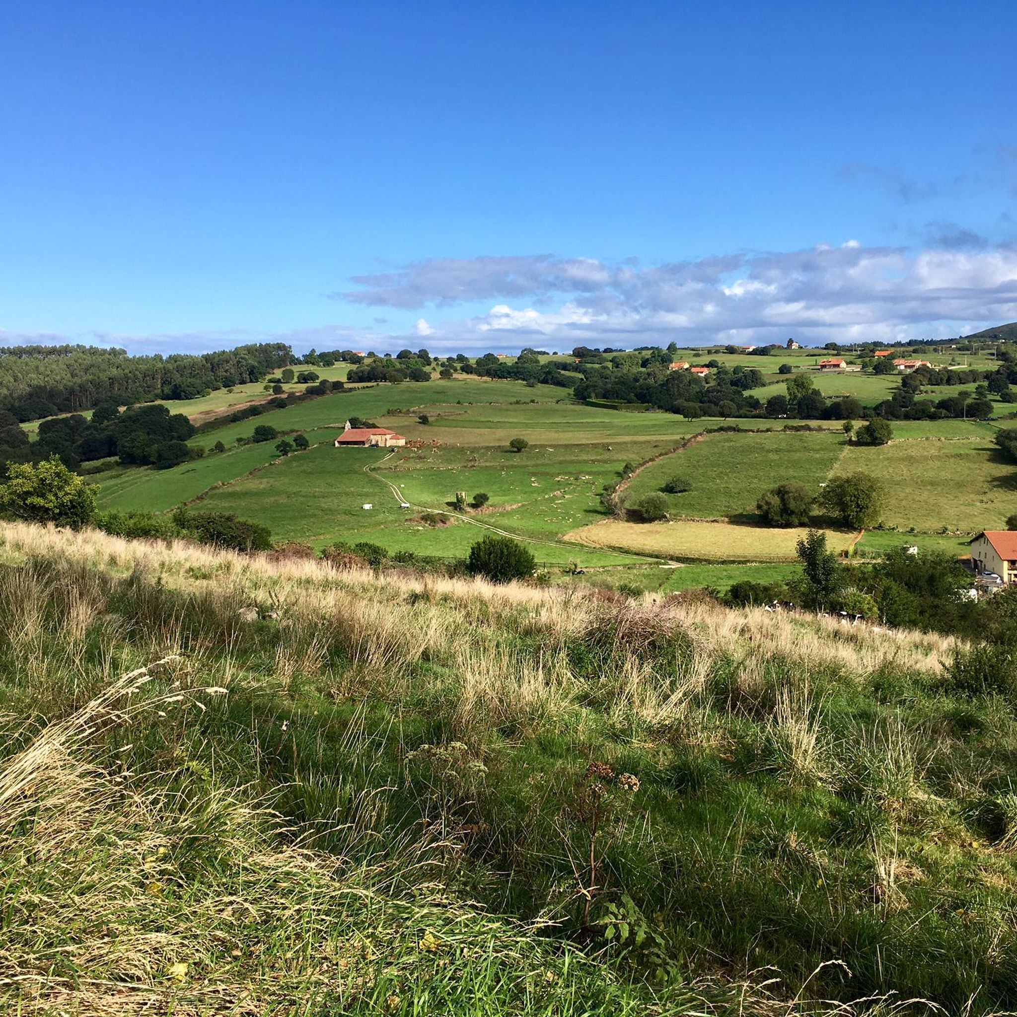
Hiking around Los Corrales De Buelna offers diverse mountainous terrain with well-signposted trails. The region features enchanting forests, including the renowned Bosque de Coo, and mountain rivers. Hikers can explore panoramic plateaus and various mountain peaks, providing a range of elevations and challenges.
Best hiking trails around Los Corrales De Buelna
- The most popular hiking route is Alto del Cueto Moroso and Canal de las Tejeras Loop, a 6.7 miles (10.7 km) trail that takes 3 hours 25 minutes to complete, featuring waterfalls and panoramic views.
- Another top favourite among local hikers is Monte Brazo Refuge – Canal de las Tejeras loop from Los Corrales de Buelna, a moderate 4.7 miles (7.6 km) path that ascends towards the Monte Brazo refuge.
- Local hikers also love the Coo Forest (LCB-6A/LCB-6B) loop from Coo, a 5.5 miles (8.9 km) trail leading through the enchanting Bosque de Coo, often completed in about 3 hours.
- Hiking around Los Corrales De Buelna is defined by diverse mountainous terrain, enchanting forests, and panoramic viewpoints. The network offers options for easy strolls to more challenging ascents, catering to different ability levels.
- The routes in Los Corrales De Buelna are highly rated by the komoot community with an average score of 4.5 stars from over 180 reviews. More than 1300 hikers have used komoot to explore Los Corrales De Buelna's varied terrain.
Last updated: July 7, 2026
4.9
(20)
115
hikers
10.7km
03:26
460m
460m
Hike a moderate 6.7-mile loop with 1515 feet of elevation gain, exploring waterfalls, forests, and panoramic views in Cantabria.
4.9
(17)
103
hikers
Moderate hike. Good fitness required. Easily-accessible paths. Suitable for all skill levels.

Sign up for free
4.3
(4)
14
hikers
8.87km
03:00
420m
420m
Moderate hike. Good fitness required. Easily-accessible paths. Suitable for all skill levels.
3.0
(1)
16
hikers
Moderate hike. Good fitness required. Easily-accessible paths. Suitable for all skill levels.
5.0
(2)
14
hikers
12.4km
03:37
310m
310m
Moderate hike. Good fitness required. Easily-accessible paths. Suitable for all skill levels.
Get access to more routes and recommendations from other explorers.
Sign up for free
Already have an account?
Our route recommendations are based on thousands of hikes, rides, and runs completed by other people on komoot.
Start today with a free account
Your next adventure awaits.
Login or Signup

Tips from the Community

El Torreón de Cartes is a medieval tower house from the 15th century, built by the Manrique family, counts of Castañeda and marquises of Aguilar, as part of a defensive fortress in the heart of the Camino Real, the main street of the historic center of Cartes.
2
0

Quiet place, interesting views.
0
0

The San Andrés Bridge is in Somahoz (Los Corrales de Buelna) over the Besaya River, which gives access to the San Andrés neighbourhood. It is divided into a narrow lane for vehicles and a pedestrian crossing, and from it we see a railway bridge that we have to go under to enter the neighbourhood. And that railway bridge (or overpass) that we crossed is part of the historic "Ferro-carril de Isabel II" (Isabel II Railway) that began to be built in the mid-19th century with the project of joining the towns of Alar del Rey with Santander and whose section from Bárcena de Pie de Concha to the Cantabrian capital must have been finished in 1858.
0
0
The leguarios are large boundary stones made of local sandstone, placed, in this case, in La Bandera, near the town hall of Los Corrales de Buelna, which marked seven leagues. It was placed in this place on the occasion of the construction of the Camino Real, in 1753, and marked the distance of seven leagues to the city of Santander, the league being the most common unit of length in Castilian lands, equivalent to 5,572 metres, until the implementation of the decimal metric system on 1 July 1880. In this way, the walker knew the distance from the boundary stone to the city of Santander and, given that a person could travel a league in approximately one hour, this leguario with its seven-league inscription reminded the walker that he was seven hours from the city.
0
0
The Cartes Town Hall is located in the historic centre of Cartes, on its main street, and is a beautifully restored building that combines several styles. Its highlights include the lintelled portico with three columns in front and the Quijano coat of arms from 1568.
0
0
The leguarios are large boundary markers made of local sandstone and placed, in this case, very close to the town hall of Los Corrales de Buelna, almost in front of the Estelas park. It was placed in this place on the occasion of the construction of the Camino Real, in 1753, and marked the distance of seven leagues to the city of Santander, the league being the most common unit of length in Castilian lands, equivalent to 5,572 metres, until the implementation of the decimal metric system on 1 July 1880. In this way, the walker knew the distance from the boundary marker to the city of Santander and, given that a person could travel a league in approximately one hour, this leguario with its seven-league inscription reminded the walker that he was seven hours from the city.
0
0
The church of San Román is located in Somahoz (Corrales de Buelna). It is an emblematic place. This church dates back to the 13th century and is believed to have been built by local craftsmen, using techniques and materials typical of Romanesque architecture. Over the centuries, the church has undergone various modifications and restorations, but has managed to largely preserve its original structure. The Church of Somahoz has witnessed important events throughout the history of Cantabria, including religious ceremonies, weddings, baptisms and funerals. During the Spanish Civil War, the church suffered damage to its structure, but was later restored thanks to the efforts of the local community and the ecclesiastical authorities.
0
0
The Casona de Somahoz, in Los Corrales de Buelna and at the foot of the Besaya River, now restored and converted into a hostel, was built in the first half of the 15th century and houses a good example of civil and religious architecture in the mountain style. Its coat of arms includes the most prestigious lineages of the region such as the Fernández Castillo, the Bustamantes and the Liaño.
0
0
Frequently Asked Questions
How many hiking trails are available in Los Corrales De Buelna?
Los Corrales De Buelna offers a diverse network of over 25 hiking trails. These routes cater to various skill levels, ranging from easy strolls to more challenging ascents through its mountainous terrain.
What kind of terrain and difficulty can I expect on hikes in Los Corrales De Buelna?
The region features diverse mountainous terrain, offering a mix of easy, moderate, and difficult trails. You'll find 5 easy routes, 18 moderate paths, and 3 more challenging hikes, ensuring options for all experience levels. Many trails are well-signposted and provide information on local flora and fauna.
Are there any circular hiking routes in Los Corrales De Buelna?
Yes, Los Corrales De Buelna is known for its scenic circular routes. A notable option is the Alto del Cueto Moroso and Canal de las Tejeras Loop, which offers waterfalls and panoramic views. Another popular choice is the Coo Forest (LCB-6A/LCB-6B) loop from Coo, leading through an enchanting forest.
What natural features or landmarks can I see along the hiking trails?
Hikers can discover a variety of natural features and landmarks. The region boasts enchanting forests like the Bosque de Coo, mountain rivers, and panoramic plateaus such as the El Moral Plateau. A unique natural monument is the Roble Tumbao (Fallen Oak of Brujilices), a 250-year-old oak that continues to grow despite falling.
Are there family-friendly hiking options in Los Corrales De Buelna?
Yes, the area offers routes suitable for families. The diverse trail network includes easy strolls, and the enchanting Bosque de Coo, with its 'Ruta del Castañal' (Chestnut Grove Route), provides a magical experience for all ages through ancient trees and mountain rivers.
Can I bring my dog on the hiking trails in Los Corrales De Buelna?
While specific regulations can vary, generally, dogs are welcome on trails in natural areas like Los Corrales De Buelna. It's always recommended to keep your dog on a leash, especially in areas with wildlife or other hikers, and to clean up after them to preserve the natural environment.
What is the best time of year to go hiking in Los Corrales De Buelna?
Los Corrales De Buelna offers enjoyable hiking experiences throughout much of the year. The region's diverse landscapes are particularly beautiful in spring and autumn when the weather is mild and the foliage is vibrant. Summer also provides good conditions, especially for higher elevations, while winter can offer unique snowy landscapes on some routes.
Are there any viewpoints or scenic spots along the trails?
Absolutely. Many trails lead to stunning viewpoints. The Alto del Cueto Moroso and Canal de las Tejeras Loop offers panoramic vistas. You can also find amazing landscapes from the El Moral Plateau, and the Pico Coturias route provides beautiful views of the Buelna and Iguña valleys.
What do other hikers enjoy most about hiking in Los Corrales De Buelna?
The area is highly rated by the komoot community, with an average score of 4.5 stars from over 180 reviews. Hikers frequently praise the diverse mountainous terrain, the enchanting forests like Bosque de Coo, and the well-signposted trails that make navigation easy and enjoyable.
Are there any routes that feature waterfalls?
Yes, the Alto del Cueto Moroso and Canal de las Tejeras Loop is known for featuring waterfalls, adding to the scenic beauty of the hike. The region's mountain rivers also contribute to picturesque water features along many paths.
Where can I find parking for hiking trails in Los Corrales De Buelna?
Many popular trailheads in Los Corrales De Buelna, especially those leading to well-known areas like the Bosque de Coo or starting points for routes to Monte Brazo, typically have designated parking areas. It's advisable to check specific route details for the most convenient parking options.
Can I access hiking trails in Los Corrales De Buelna using public transport?
While some routes might be accessible via public transport connections to the main town, many trailheads in the more rural, mountainous areas may require personal vehicle access. For specific routes, it's best to check local bus schedules or consider car-sharing options to reach starting points.
Most popular routes around Los Corrales De Buelna
Most popular attractions around Los Corrales De Buelna

Get inspired with the komoot mobile app


Explore more
Browse the best Hikes in other regions.
