The best mountain hikes around Reichswald
4.9
(9)
26
hikers
5
hikes
Mountaineering around Reichswald offers routes through a landscape characterized by dense forests and gentle hills. The region, situated near the German-Dutch border, features varied terrain including sunken paths and viewpoints. Elevations are generally modest, making it accessible for a range of abilities.
Best mountaineering routes around Reichswald
- The most popular mountaineering route is Eatery De Diepen - Milsbeek – Ketelwald Trail at Grensweg loop from Milsbeek, a 4.2 miles (6.7 km) trail that takes 1 hour 48 minutes to…
Last updated: July 4, 2026
1
hikers
Easy mountaineering route. Great for any fitness level. Easily-accessible paths. Suitable for all skill levels.
4.8
(8)
21
hikers
Moderate mountaineering route. Good fitness required. Easily-accessible paths. Suitable for all skill levels.

Sign up for free
2
hikers
Easy mountaineering route. Great for any fitness level. Easily-accessible paths. Suitable for all skill levels.
1
hikers
Easy mountaineering route. Great for any fitness level. Easily-accessible paths. Suitable for all skill levels.
5.0
(1)
1
hikers
Easy mountaineering route. Great for any fitness level. Easily-accessible paths. Suitable for all skill levels.
Our route recommendations are based on thousands of hikes, rides, and runs completed by other people on komoot.
Start today with a free account
Your next adventure awaits.
Login or Signup
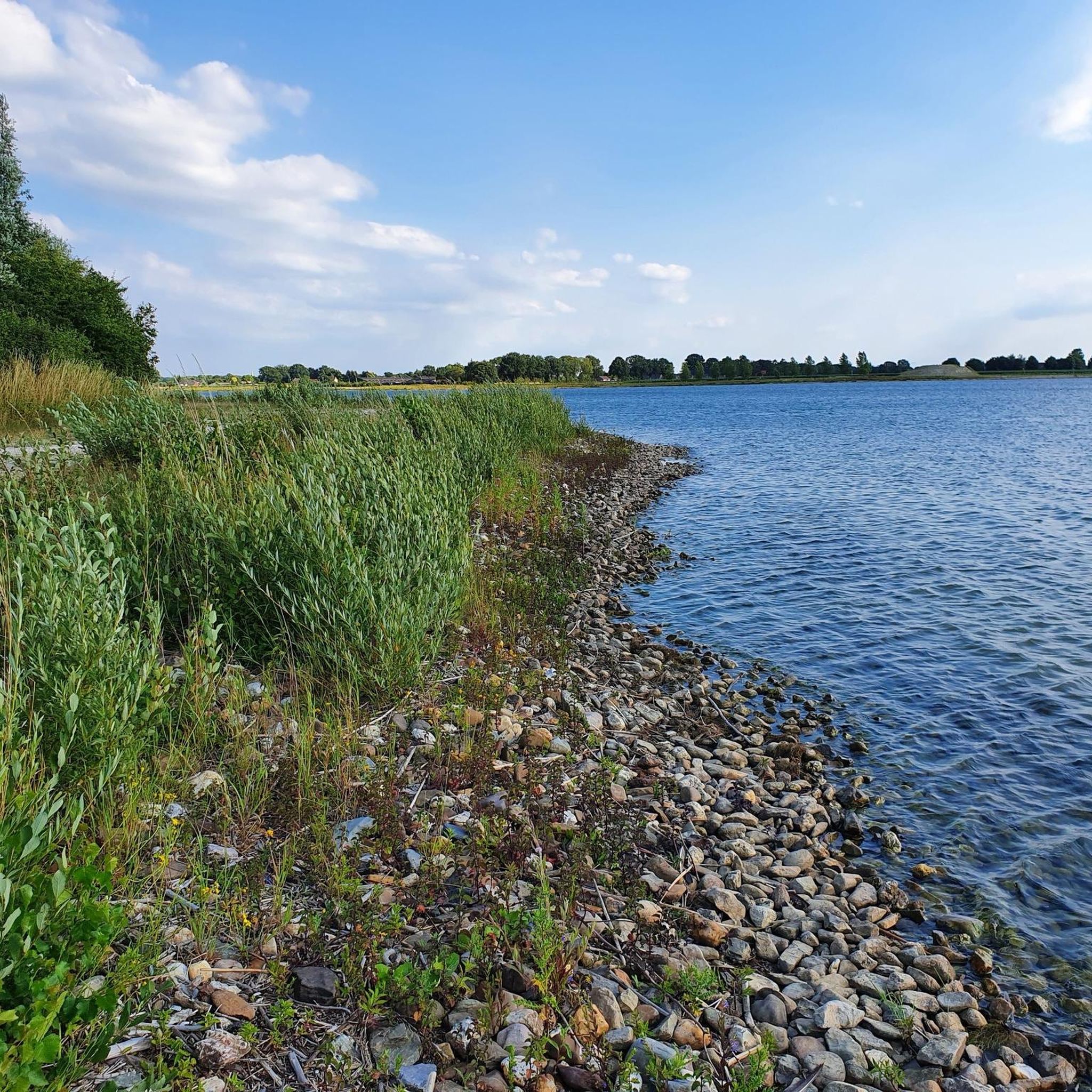
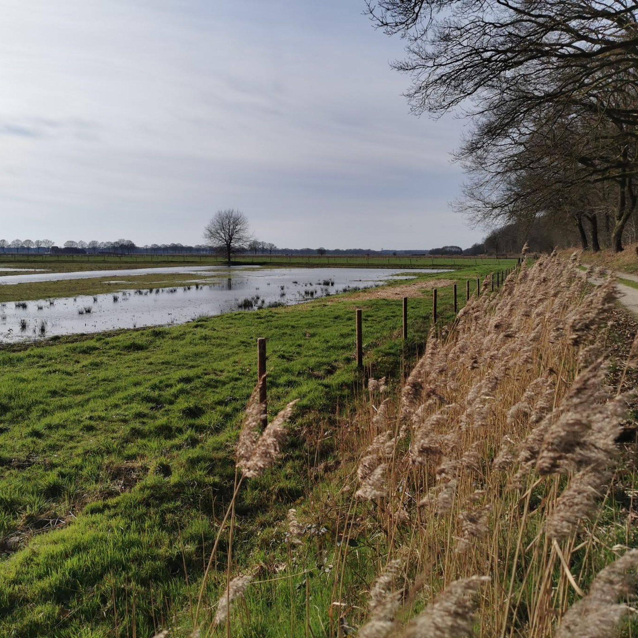
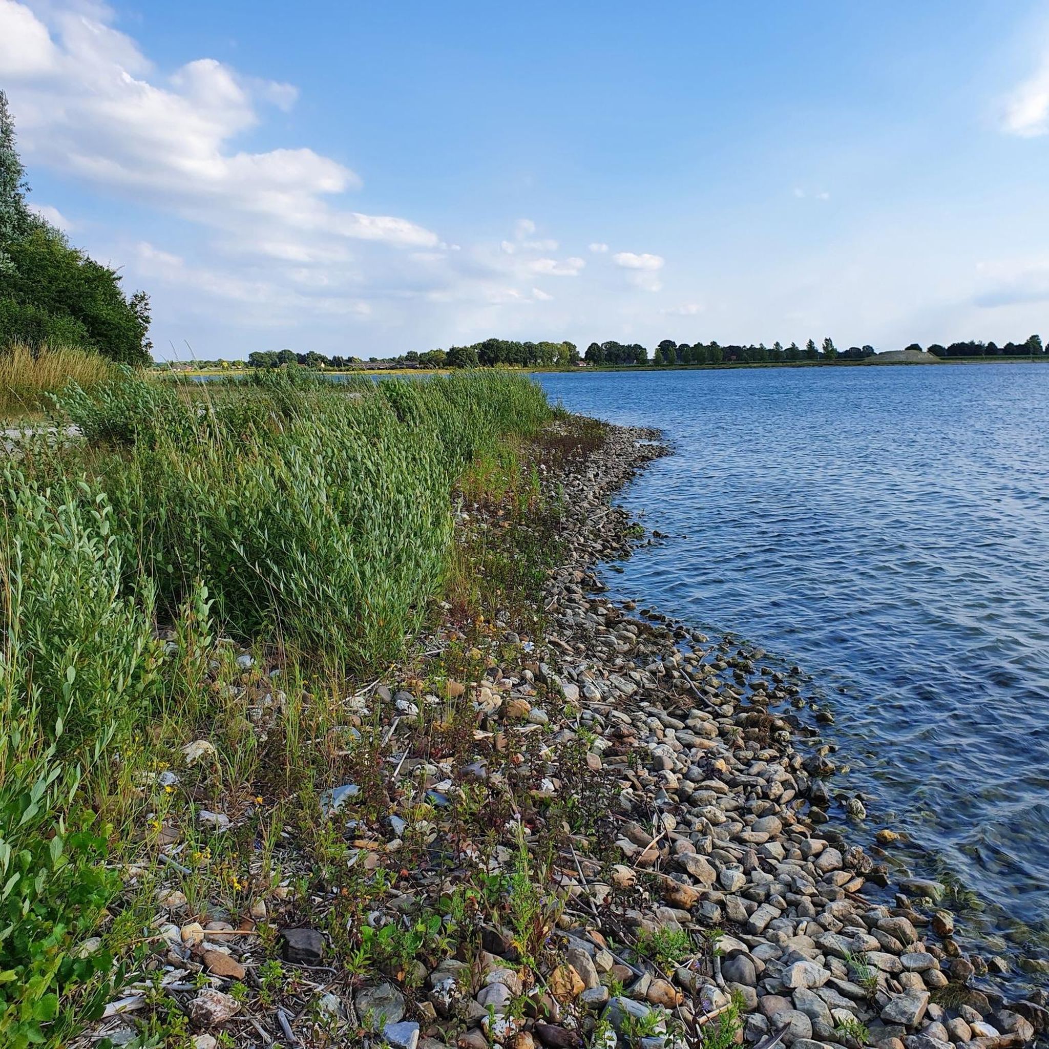
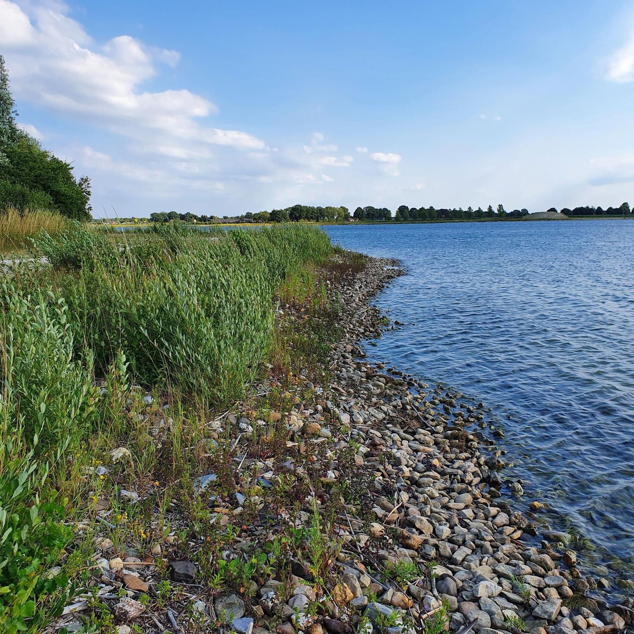

Tips from the Community

you will encounter enough of these little stairs
0
0


It can be busy on weekends. It is a popular hiking area.
1
0

The thought is nice, but there would be better benches upstairs
0
0

nice area for walking, dogs are allowed to run free here between 1-10 and 1-5
1
0

Beautiful view over the Rhine Valley
0
0
Frequently Asked Questions
What types of mountaineering routes can I find in Reichswald?
Reichswald offers a variety of mountaineering routes, primarily characterized by dense forests and gentle hills. You'll find options ranging from easy walks through the woods to moderate paths with more varied terrain and viewpoints. The region is known for its accessible trails, making it suitable for different skill levels.
Are there easy mountaineering routes suitable for beginners in Reichswald?
Yes, Reichswald has several easy mountaineering routes perfect for beginners or those looking for a relaxed outing. For example, the Eatery De Diepen - Milsbeek – Ketelwald Trail at Grensweg loop from Milsbeek is an easy 4.2-mile (6.7 km) trail exploring the Ketelwald Trail. Another accessible option is the Sunken Path in the Forest – Devil's Mountain (Duivelsberg) loop from Berg en Dal, a 3.3-mile (5.4 km) route through forested areas.
What are the typical lengths and elevation gains for mountaineering routes in Reichswald?
Mountaineering routes in Reichswald generally feature modest elevations and varying lengths. You can expect routes like the Ketelwald Trail at around 4.2 miles (6.7 km) with about 278 feet (85 meters) of elevation gain, or longer moderate routes such as the Picnic Spot by the Stream – Heerlijkheid Beek Viewpoint loop from Berg en Dal, which is 8.2 miles (13.2 km) long with approximately 735 feet (224 meters) of ascent.
Are there family-friendly mountaineering options in Reichswald?
Absolutely. Many of the easy routes in Reichswald are suitable for families. The gentle hills and well-maintained paths make for enjoyable outings with children. Consider the Devil's Mountain (Duivelsberg) – Wylerberg Lake loop from Persingen, an easy 3.2-mile (5.1 km) trail that offers scenic views and a manageable distance for most families.
Can I bring my dog on the mountaineering routes in Reichswald?
Yes, dogs are generally welcome on the mountaineering routes in Reichswald. The forested trails provide a great environment for your canine companion. However, always ensure your dog is kept on a leash, especially in areas with wildlife or near livestock, and remember to clean up after them to preserve the natural beauty for everyone.
Are there any circular mountaineering routes in Reichswald?
Yes, many of the mountaineering routes in Reichswald are designed as loops, offering a convenient way to explore the area without retracing your steps. Examples include the popular Picnic Spot by the Stream – Heerlijkheid Beek Viewpoint loop from Berg en Dal and the Sunken Path in the Forest – Devil's Mountain (Duivelsberg) loop from Beek.
What interesting landmarks or attractions can I see along the mountaineering routes in Reichswald?
Reichswald's routes often pass by interesting natural and historical features. You might encounter highlights such as the Col du St. Jean (St. Jansberg, N843), the Gravel Border, or the Reichswald Border Trail. The region also features unique natural monuments like the Jan and Griet Trees and a Medieval defensive earthwork with pollarded beeches.
What do other mountaineers enjoy most about the routes in Reichswald?
The mountaineering routes in Reichswald are highly rated by the komoot community, with an average score of 4.9 stars from nearly 10 reviews. Reviewers often praise the quiet woodlands, the varied terrain, and the well-maintained paths that make for an enjoyable outdoor experience.
When is the best time of year to go mountaineering in Reichswald?
Reichswald offers enjoyable mountaineering experiences throughout much of the year. Spring brings lush greenery and blooming flora, while autumn showcases vibrant fall colors in the dense forests. Summer is pleasant for shaded walks, and even mild winter days can be beautiful for a crisp hike, though conditions may vary.
What kind of gear should I bring for mountaineering in Reichswald?
Given the gentle hills and forest paths, standard hiking gear is usually sufficient. We recommend sturdy hiking shoes, appropriate clothing layers for the weather, water, and snacks. For longer routes, a map or GPS device is always helpful. While not technical climbing, some paths can be uneven, so good footwear is key.
Are there any pubs or eateries near the mountaineering trails in Reichswald?
While specific establishments aren't detailed in every route description, the region around Reichswald, being close to the German-Dutch border, offers various local pubs and eateries in nearby villages like Milsbeek or Berg en Dal. It's a good idea to check local listings for options to refuel after your hike.
Most popular routes around Reichswald
Most popular attractions around Reichswald

Get inspired with the komoot mobile app


Explore more
Browse the best Mountain Hikes & Routes in other regions.
