The best road cycling routes around Valdemoro-Sierra
4.5
(2)
129
riders
14
rides
Road cycling around Valdemoro-Sierra, a municipality in the province of Cuenca, offers routes through mountainous terrain within the Iberian Mountains. The region is characterized by varied topography, including significant ascents and descents, with an average altitude of over 1100 meters. This landscape provides a setting for challenging road cycling routes on generally tranquil roads. The natural features of the Serranía de Cuenca contribute to scenic rides.
Best road cycling routes around Valdemoro-Sierra
- The most popular road cycling route is Cañete…
Last updated: June 28, 2026
26
riders
81.3km
03:50
980m
980m
Hard road ride. Very good fitness required. Some segments of this route may be unpaved and difficult to ride.
14
riders
63.9km
02:58
800m
800m
Moderate road ride. Good fitness required. Mostly well-paved surfaces and easy to ride.

Sign up for free
13
riders
59.2km
03:11
1,000m
1,000m
Hard road ride. Very good fitness required. Mostly well-paved surfaces and easy to ride.
13
riders
78.7km
03:38
930m
930m
Hard road ride. Very good fitness required. Mostly well-paved surfaces and easy to ride.
10
riders
50.6km
02:35
840m
840m
Moderate road ride. Good fitness required. Mostly well-paved surfaces and easy to ride.
Get access to more routes and recommendations from other explorers.
Sign up for free
Already have an account?
Our route recommendations are based on thousands of hikes, rides, and runs completed by other people on komoot.
Start today with a free account
Your next adventure awaits.
Login or Signup

Tips from the Community

The route descends from the CU-V-5003 road to the Algarra River, offering glimpses of it from within the valley. Along paths parallel to the river, you'll see orchards, tree plantations, and riverside land, some of which is also visible from the access roads and sides of the CU-V-5003.
2
0

wir hatten leider Pech: Closed Wednesday :(
0
0

Very hard climb towards Zafrilla. At least it's paved. Think about carrying water at the Laguna del Marquesado fountain.
0
0

Good firm road and very little or no traffic. Spectacular setting...
0
0

The ruins of the ancient Villa de Moya are one of the main archaeological sites of the Middle Ages. They date back to the 13th century and were declared a historical-artistic monument in 1982.
2
0

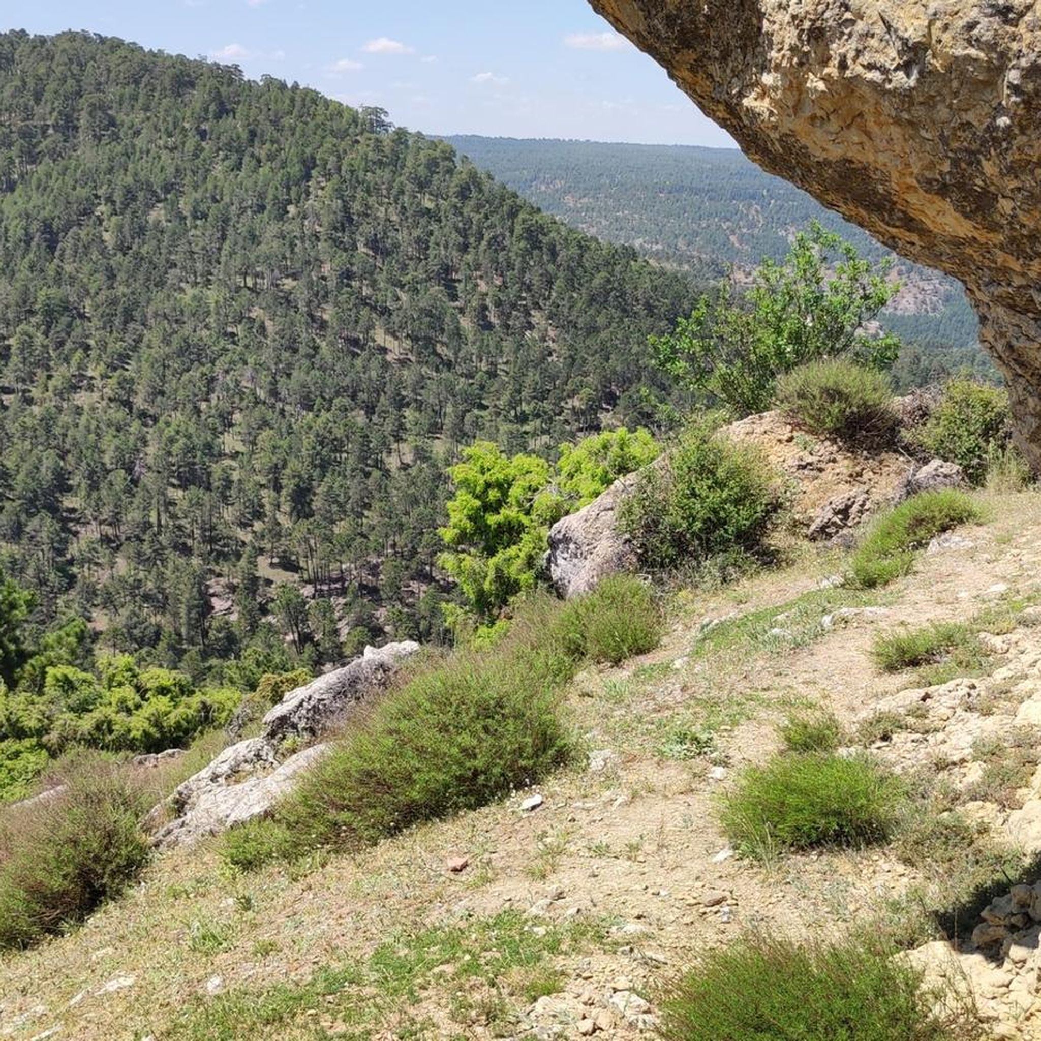
In this area of the province, rock formations appear between pine forests and rise above the treetops. It shows the Río Cabriel near the road.
0
0
Beautiful road that winds along the banks of the Río de la Laguna and that connects the towns of Laguna del Marquesado with Huerta del Marquesado. Quiet road in the middle of a valley.
0
0
Municipality that is mainly dominated by its castle that is located at the top of the hill that accompanies the mountain. The wall starts at the foot of the town and climbs up the mountain making the turn!
0
0
Frequently Asked Questions
How many road cycling routes are available around Valdemoro-Sierra?
There are over 10 road cycling routes around Valdemoro-Sierra, offering a variety of experiences. The komoot community has explored 13 routes in total, ranging from moderate to difficult.
What is the terrain like for road cycling in Valdemoro-Sierra?
The terrain around Valdemoro-Sierra is predominantly mountainous, situated within the Iberian Mountains at an average altitude of over 1100 meters. Cyclists can expect varied topography with significant ascents and descents, providing both challenging climbs and rewarding scenic rides.
When is the best time of year for road cycling in Valdemoro-Sierra?
Valdemoro-Sierra experiences moderate winters and warm to hot summers. The spring and autumn months are generally ideal for road cycling, offering pleasant temperatures and a comfortable environment for exploring the mountainous routes.
Are there routes suitable for less experienced road cyclists?
While many routes in Valdemoro-Sierra are classified as difficult due to the mountainous terrain, there are also moderate options available. For example, the Roadbike loop from Tejadillos is a moderate 39.7-mile path that traverses varied topography with scenic views.
What kind of challenges can I expect on road cycling routes here?
Road cycling in Valdemoro-Sierra is characterized by significant elevation changes. Many routes feature substantial climbs and descents, with some difficult routes like the Bar La Pulga – Cañete loop from Cerro de las Quebradas gaining over 1000 meters in elevation, making them suitable for experienced cyclists seeking a challenge.
Are there any circular road cycling routes in the area?
Yes, many of the road cycling routes around Valdemoro-Sierra are designed as loops, allowing you to start and finish in the same location. Examples include the Cañete – Dirt road to Moya loop from Cañete and the Río de la Laguna – Climb to Zafrilla loop from Cañete.
What natural features or landmarks can I see while road cycling in Valdemoro-Sierra?
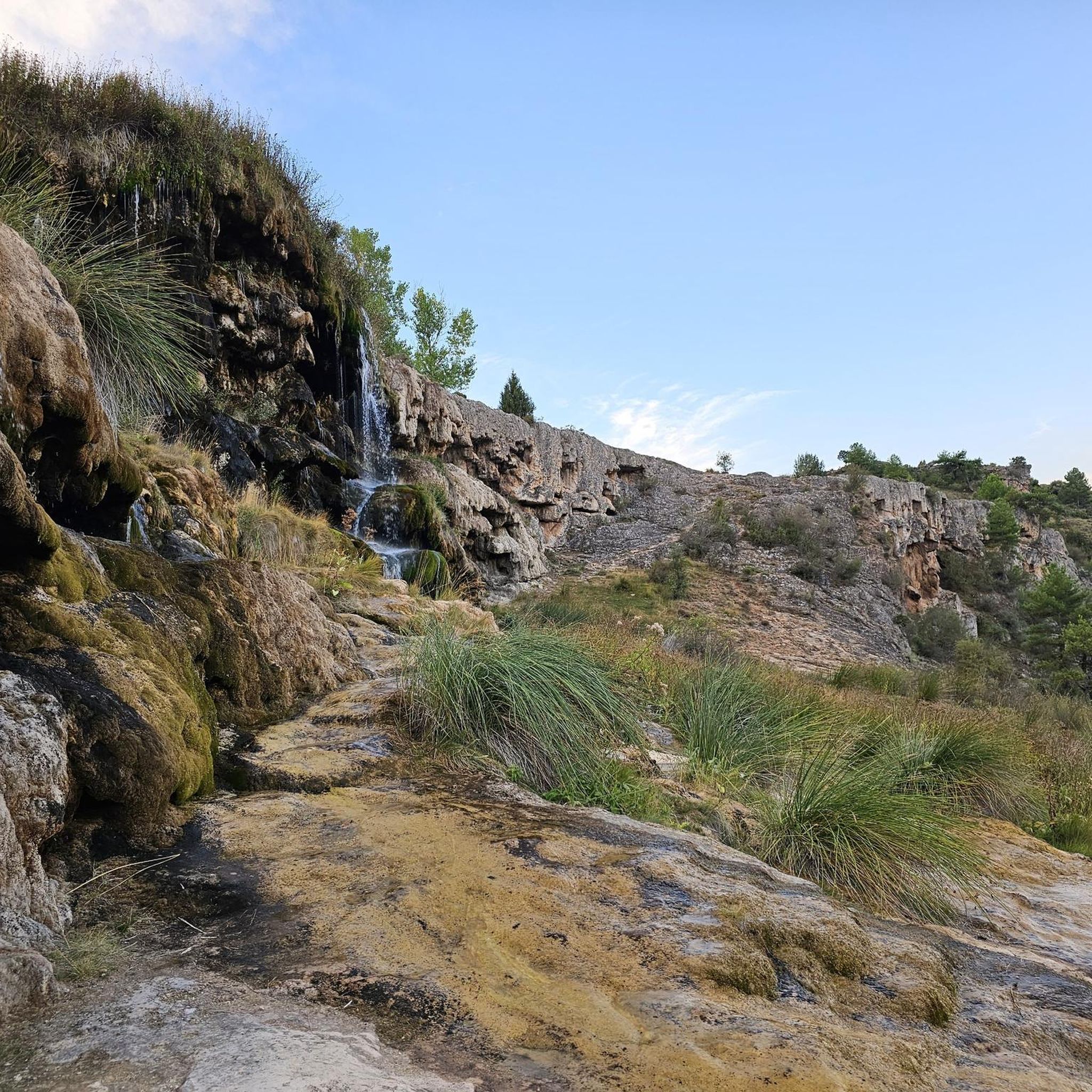
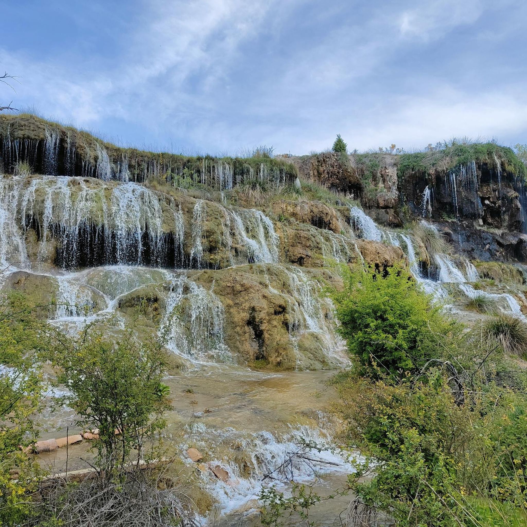
The region offers stunning natural beauty. While cycling, you might encounter features like the Viewpoint over the La Toba Reservoir or the Laguna del Marquesado Nature Reserve. The nearby natural monument La Balsa, with its waterfalls and natural pools, is also a notable attraction in the area.
What do other road cyclists say about the routes in Valdemoro-Sierra?
The road cycling routes in Valdemoro-Sierra are highly rated by the komoot community, with an average score of 4.5 stars from 2 reviews. Cyclists often appreciate the tranquil roads and the scenic beauty of the mountainous surroundings.
Are the roads generally quiet for cycling in Valdemoro-Sierra?
Given Valdemoro-Sierra's small population, the roads in and around the municipality are likely to experience low traffic. This offers a peaceful and safe environment for road cyclists to enjoy the natural scenery without significant vehicle disturbance.
Is there parking available for cyclists in Valdemoro-Sierra?
As a small community, Valdemoro-Sierra typically offers accessible parking options, especially in or near the village center, making it convenient for cyclists to start their routes.
Can I reach Valdemoro-Sierra by public transport for cycling?
Due to its remote and small nature, public transport options directly to Valdemoro-Sierra might be limited. It's advisable to check local bus schedules or consider driving to the area if you plan to bring your bike.
What are some of the longer road cycling routes available?
For those seeking longer rides, routes like the Cañete – Dirt road to Moya loop from Cañete cover approximately 50.5 miles (81.3 km), offering an extensive exploration of the region's mountainous terrain.
Most popular routes around Valdemoro-Sierra
Most popular attractions around Valdemoro-Sierra

Get inspired with the komoot mobile app


Explore more
Browse the best Road cycling routes in other regions.
