The best road cycling routes around Valdemeca
4.0
(1)
75
riders
6
rides
Road cycling around Valdemeca offers diverse terrain within the Serranía de Cuenca, characterized by winding routes through Scots pine forests at higher altitudes and oak groves at lower elevations. The region's limestone geology has sculpted ravines and varying gradients, providing both challenging ascents and scenic descents. Cyclists can expect routes that traverse a continental Mediterranean climate, offering lush backdrops and panoramic views from natural balconies. This area provides a rich and engaging experience for road cyclists seeking varied landscapes and…
Last updated: May 15, 2026
13
riders
50.5km
02:35
840m
830m
Moderate road ride. Good fitness required. Mostly well-paved surfaces and easy to ride.
13
riders
59.2km
03:11
1,000m
1,000m
Hard road ride. Very good fitness required. Mostly well-paved surfaces and easy to ride.

Sign up for free
8
riders
80.3km
04:00
1,140m
1,140m
Hard road ride. Very good fitness required. Mostly well-paved surfaces and easy to ride.
7
riders
102km
05:04
1,590m
1,590m
Hard road ride. Very good fitness required. Mostly well-paved surfaces and easy to ride.
4.0
(1)
8
riders
68.3km
03:22
1,030m
1,030m
Hard road ride. Very good fitness required. Mostly well-paved surfaces and easy to ride.
Our route recommendations are based on thousands of hikes, rides, and runs completed by other people on komoot.
Start today with a free account
Your next adventure awaits.
Login or Signup
Popular around Valdemeca
Tips from the Community

The official source of water is located at Fuente de García, in the Montes Universales, within the municipality of Frías de Albarracín (Teruel). It is located at an altitude of approximately 1,590 meters, surrounded by pine forests and high mountain meadows. Access is very easy and well signposted. Take the A-1704 highway, which connects Frías de Albarracín with Huélamo (Cuenca). From the highway, a paved detour of approximately 2 km takes you directly to the recreational area and the monument. There is free parking next to the monument.
10
0
Access is very easy and well signposted. Take the A-1704 highway, which connects Frías de Albarracín with Huélamo (Cuenca). From the highway, a paved detour of approximately 2 km takes you directly to the recreational area and the monument. There is free parking next to the monument.
5
0
The official source is located at Fuente de García, in the Montes Universales, within the municipality of Frías de Albarracín (Teruel). It is located at an altitude of approximately 1,590 meters, surrounded by pine forests and high mountain meadows.
5
0

It is a reference to the place where the longest river in Spain originates, stretching over 1,000 km and flowing into neighboring Portugal. These statues symbolize this point in the Albarracín mountain range.
8
0

Perfectly natural in a beautiful location.
4
0
Puerto del Cubillo is located in the Serranía Alta de Cuenca mountain range, a mountainous region known for its natural beauty and hiking trails. One of the most notable routes is the one that leads to Pico Mogorrita, the highest point in the Serranía de Cuenca mountain range at 1,864 meters. This route begins at Puerto del Cubillo and offers stunning views and the chance to see local wildlife such as deer and roe deer.
29
0

Acceptable cabin with a fireplace and a bedroom. There's a spring next door.
0
0
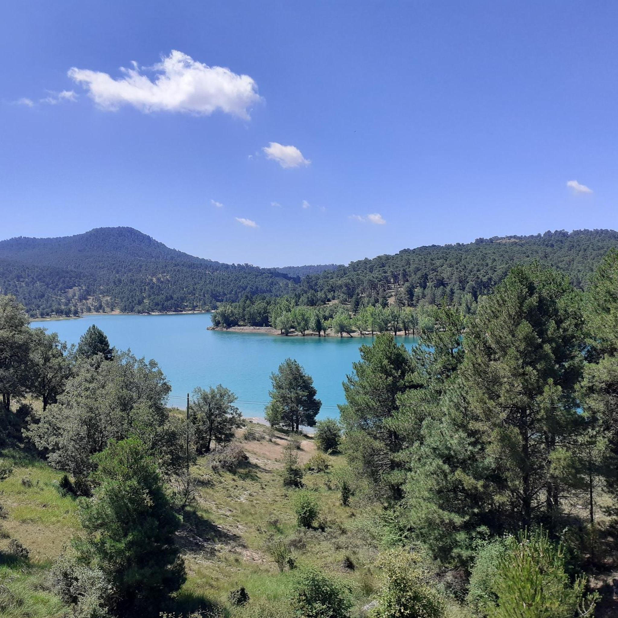
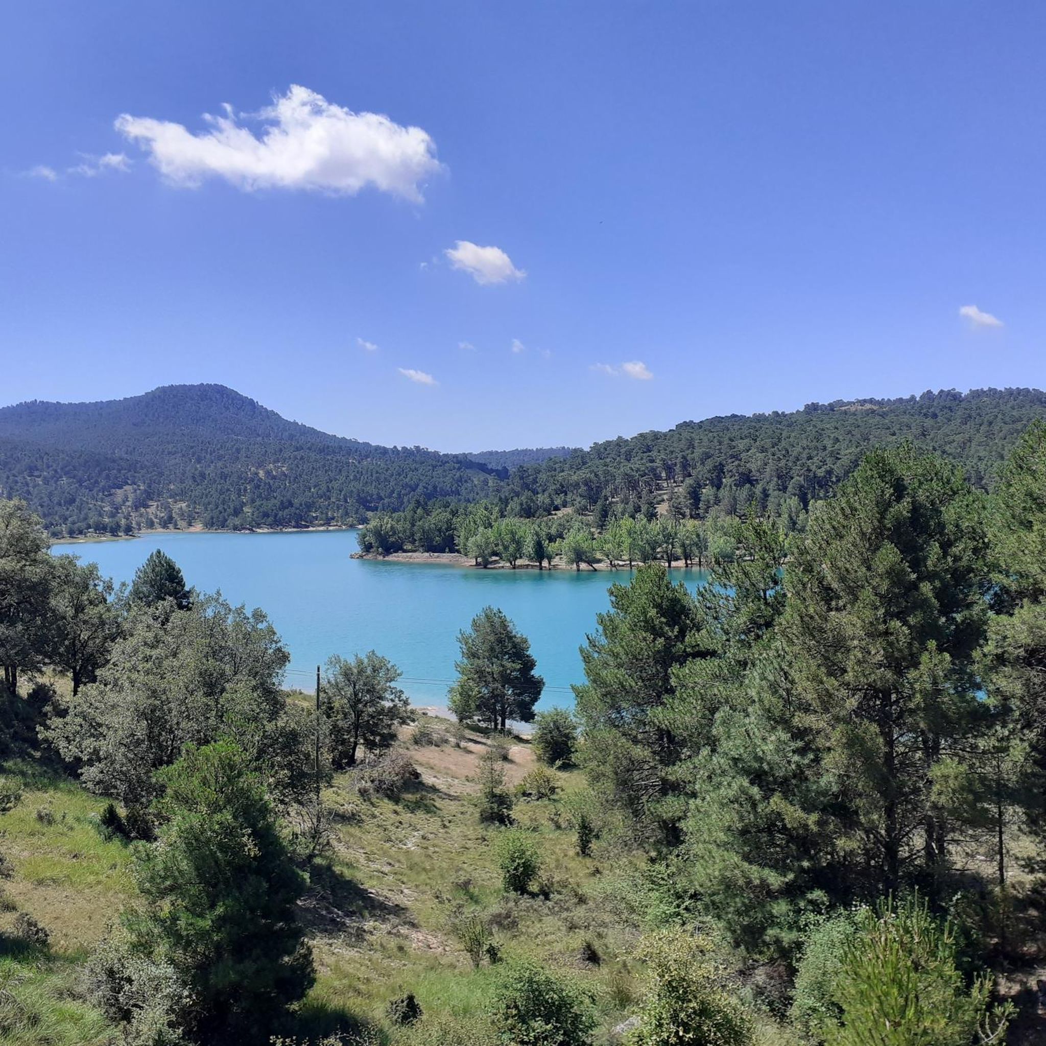
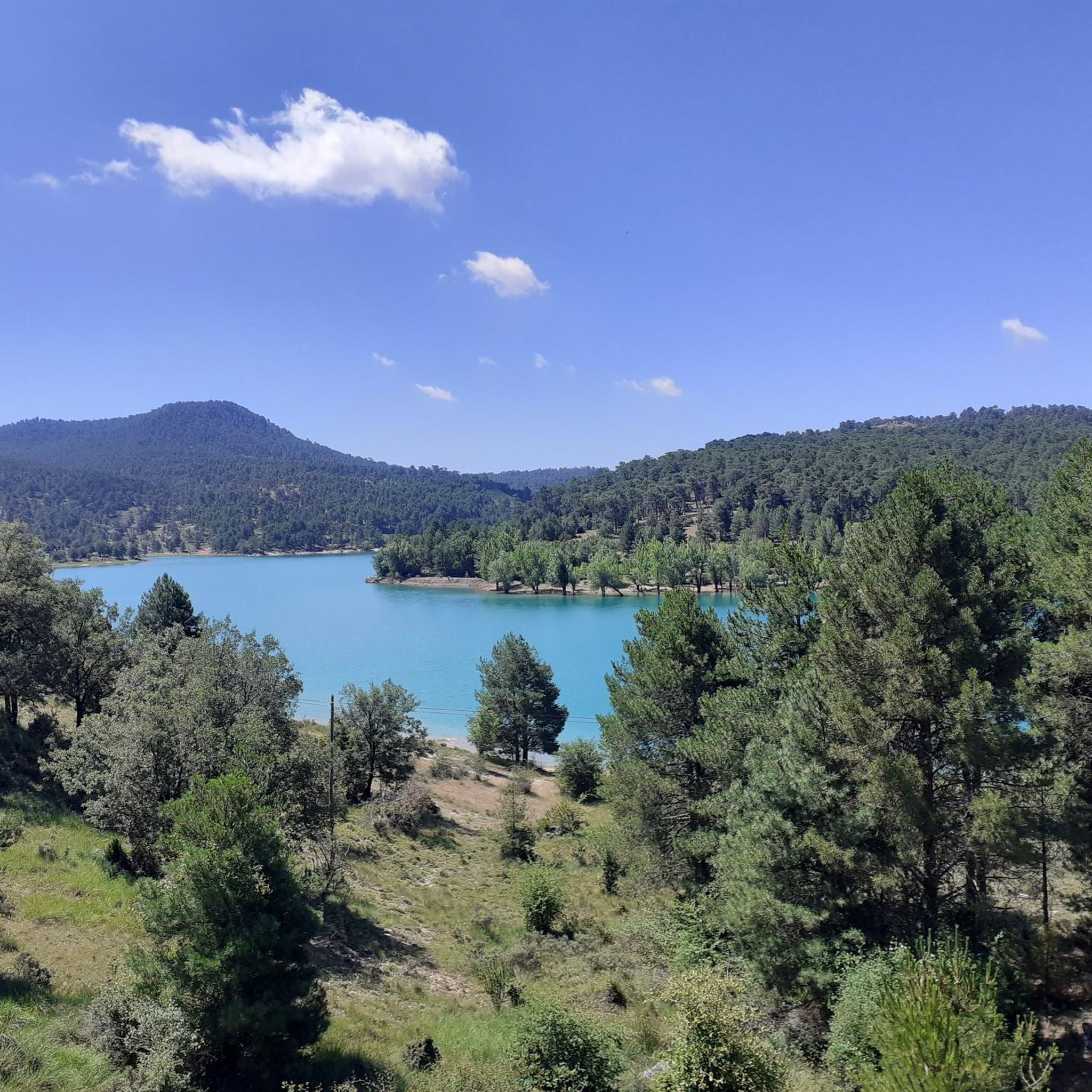
It offers spectacular views of the Tagus Valley and the surrounding pine forests.😎🚵🚴🌄
8
0
Frequently Asked Questions
What kind of terrain can I expect when road cycling in Valdemeca?
Valdemeca offers diverse and picturesque scenery for road cyclists. You'll find winding routes through impressive Scots pine forests at higher altitudes, transitioning to oak groves and junipers at elevations between 1200 and 1500 meters. The limestone geology of the Serranía de Cuenca has also sculpted ravines, providing varying gradients for both challenging ascents and scenic descents.
Are there many challenging road cycling routes in Valdemeca?
Yes, Valdemeca is well-suited for experienced road cyclists seeking a challenge. Out of the routes available, four are classified as difficult. For example, the El Cubillo Pass – Forest House Refuge loop from Beamud is a demanding 102.1 km route with significant elevation gain, offering a truly rewarding experience.
Are there any moderate road cycling routes in Valdemeca?
Yes, there are moderate options available. The Cañete – Río de la Laguna loop from Zafrilla is a popular moderate route, covering 50.5 km and featuring winding roads through forested landscapes. It's a great choice for those looking for a less intense but still engaging ride.
What are some natural features or landmarks I might see along the cycling routes?
The region is rich in natural beauty and unique attractions. You might encounter features like the Chorrera del Gollizno waterfall, or enjoy panoramic views from spots like the Mirador del Centenar. Other notable natural highlights include the Source of the River Tagus, the View of the Serranía de Cuenca, and the Laguna del Marquesado Nature Reserve.
Are the road cycling routes in Valdemeca typically circular?
Yes, many of the road cycling routes in Valdemeca are designed as loops, allowing you to start and finish at the same point. For instance, the popular Cañete – Río de la Laguna loop from Zafrilla and the challenging Bar La Pulga – Cañete loop from Cerro de las Quebradas are both circular routes.
What is the best time of year for road cycling in Valdemeca?
Given Valdemeca's continental Mediterranean climate, spring and autumn generally offer the most pleasant conditions for road cycling. These seasons typically provide milder temperatures and lush scenery, making for a more comfortable and enjoyable ride through the forests and ravines.
Are there any artistic or cultural attractions along the routes?
Yes, Valdemeca offers a unique cultural immersion. As you explore, you might encounter the Illustrated Landscape of Valdemeca, an open-air artistic installation featuring realistic sculptures by local painter Luis Zafrilla. These sculptures are integrated into the natural environment and depict scenes of village life, work, and customs, adding an artistic dimension to your ride.
What do other road cyclists say about the routes in Valdemeca?
The road cycling routes in Valdemeca are highly rated by the komoot community, with an average score of 4.0 stars. Over 70 road cyclists have used komoot to explore the varied terrain, often praising the winding roads, lush backdrops, and the engaging experience offered by the region's diverse landscapes.
Are there any routes that pass by a waterfall?
Yes, there is a route that features a waterfall. The Waterfall – Cañete loop from Huerta del Marquesado is an 80.3 km trail that leads through varied landscapes, including the Chorrera del Gollizno waterfall, adding a scenic highlight to your ride.
What kind of views can I expect on the road cycling routes?
Road cycling in Valdemeca offers numerous opportunities for panoramic views. You'll find natural balconies and viewpoints, such as the Mirador del Centenar, that provide stunning vistas of the surrounding Serranía de Cuenca. The routes often traverse elevated areas, ensuring breathtaking scenery throughout your journey.
Are there any easy road cycling routes suitable for beginners or families in Valdemeca?
The road cycling routes in Valdemeca are primarily categorized as moderate to difficult, catering more to experienced cyclists. Currently, there are no routes specifically classified as easy. However, the moderate routes, such as the Cañete – Río de la Laguna loop from Zafrilla, might be manageable for fit beginners looking for a challenge.
Where do the road cycling routes typically start from in Valdemeca?
The road cycling routes in Valdemeca often start from various points within or near the region. For example, routes can begin from villages like Zafrilla, Huerta del Marquesado, or Beamud, allowing for convenient access to the diverse terrain of the Serranía de Cuenca.
Most popular routes around Valdemeca
Most popular attractions around Valdemeca

Get inspired with the komoot mobile app


Explore more
Browse the best Road cycling routes in other regions.
