The best road cycling routes around San Martín Y Mudrián
4.5
(4)
19
riders
4
rides
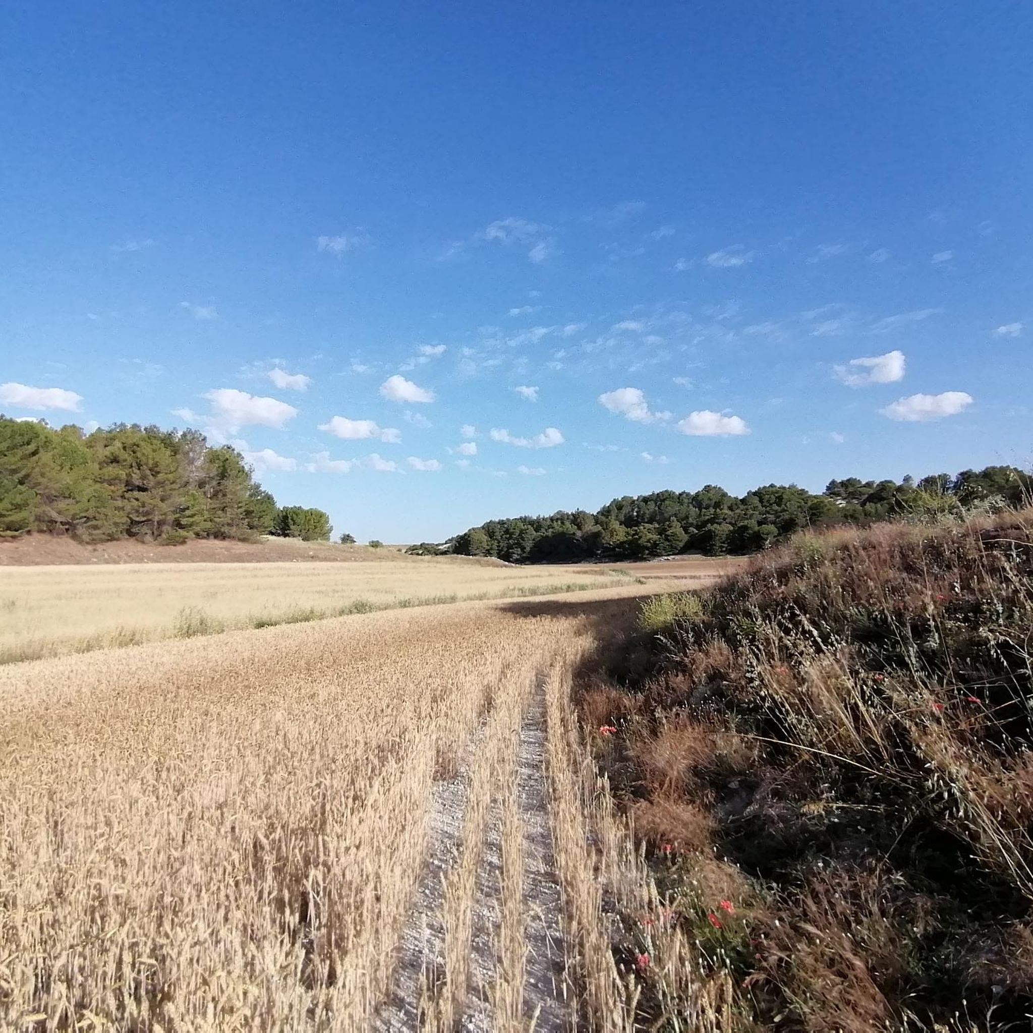
Road cycling around San Martín Y Mudrián offers varied terrain through the province of Segovia, Spain. The region is characterized by open agricultural landscapes, interspersed with small hills and river valleys. Cyclists can expect a mix of rolling plains and areas within or close to the "Tierra de Pinares" (Land of Pine Forests), providing a tranquil, pastoral setting for rides. The elevation gains vary, accommodating different skill levels.
Best road cycling routes around San Martín Y Mudrián
- The most popular…
Last updated: October 28, 2026
6
riders
35.3km
01:26
180m
180m
Easy road ride. Mostly well-paved surfaces and easy to ride.
4.0
(3)
5
riders
36.3km
01:29
120m
120m
Easy road ride. Mostly well-paved surfaces and easy to ride.

5
riders
32.8km
01:21
200m
200m
Easy road ride. Mostly well-paved surfaces and easy to ride.
5.0
(1)
2
riders
41.2km
01:44
270m
270m
Easy road ride. Mostly well-paved surfaces and easy to ride.
2
riders
68.4km
02:50
480m
480m
Moderate road ride. Good fitness required. Mostly well-paved surfaces and easy to ride.
Our route recommendations are based on thousands of hikes, rides, and runs completed by other people on komoot.
Start today with a free account
Your next adventure awaits.
Popular around San Martín Y Mudrián
Tips from the Community

Old abandoned station
0
0

Nava de la Asunción is a Spanish municipality and town in the province of Segovia. Originally known as Nava de Coca, it belonged to the village and land community. Later, in 1773, King Carlos III granted it the title of Villa and added “La Asunción” to its name, in honor of the Virgin, patron saint of the town. I hope you found this brief description interesting! 😊
2
0

Beautiful town that is located near the basin of the Río Eresma and that, in addition, its surroundings, there is El Sumidero, a set of pine forests that are very good places to go running.
0
1
Population located north of the capital of the province, Segovia. It is a nucleus located between the two rivers, the Río Edesma and the Río Voltoya.
1
0
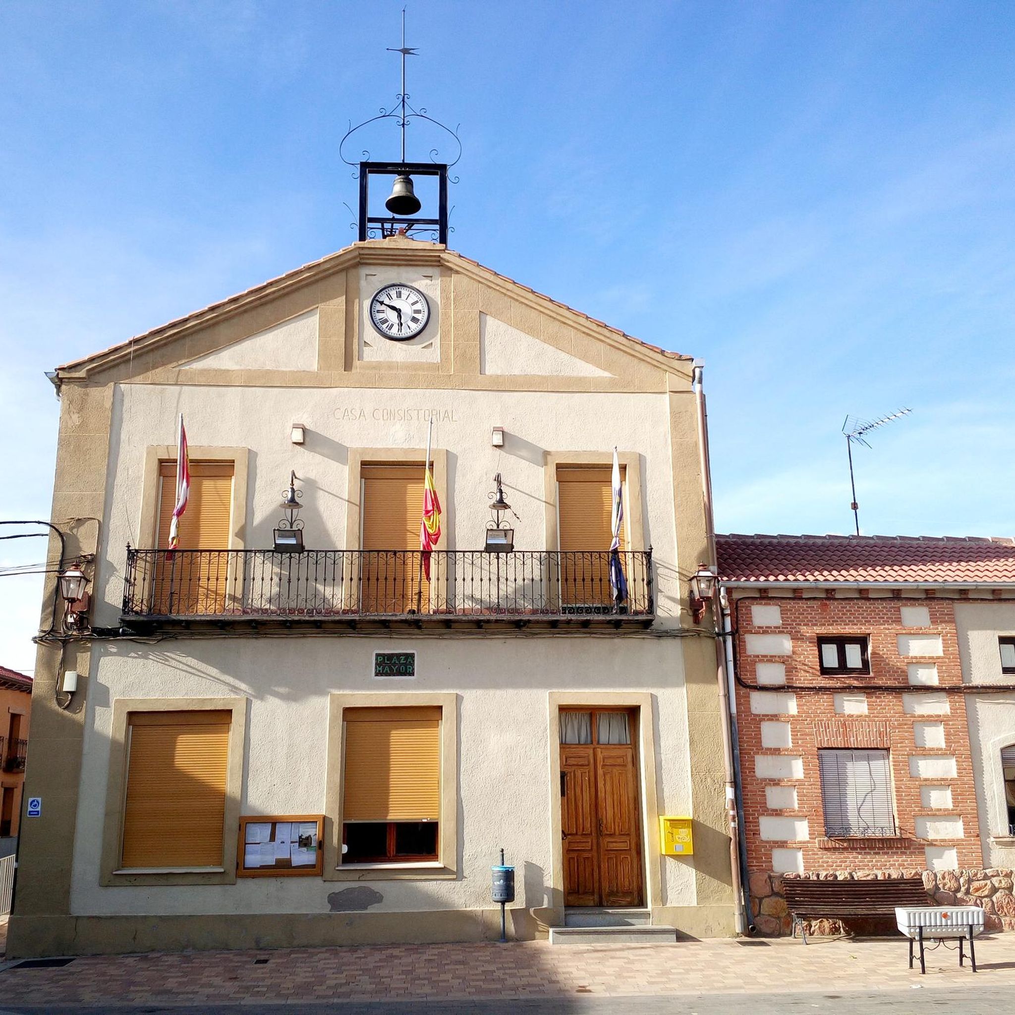
Fuentepelayo is one of those towns that is located in the old middle of the plain between the Sierra de Guadarrama and the Río Duero valley. It is characterized by having two churches at its core, the Iglesia de Santa María and the Iglesia de El Salvador.
0
0
Beautiful town where the Iglesia de Santa María predominates in its center and where, in addition, you can find a large expanse of pine forests in the vicinity of the town's forests.
0
0

Old station on the track that was active for 100 years. These abandoned infrastructures seem like an architectural time capsule where you can sense what the dynamics of rail communication were like then, especially compared to the current nearby high-speed train line.
3
0

Beautiful abandoned railway station in Ortigosa.
1
0
Frequently Asked Questions
What kind of terrain can I expect on road cycling routes around San Martín y Mudrián?
The region offers a diverse landscape for road cyclists. You'll encounter a mix of rolling agricultural plains, small hills, and river valleys. Some routes also pass through or near the 'Tierra de Pinares' (Land of Pine Forests), providing varied scenery from open fields to wooded areas. The elevation gains vary, accommodating different skill levels.
Are there road cycling routes suitable for beginners or those looking for an easier ride?
Yes, there are routes suitable for easier rides. For instance, the Roadbike loop from Navas de Oro is an easy 20.1-mile (32.4 km) trail that takes about 1 hour 20 minutes to complete, leading through agricultural plains with minimal elevation gain. Another easy option is the Nava de la Asunción – Navas de Oro loop from Migueláñez, which covers 25.6 miles (41.2 km).
What are some longer road cycling routes in the area?
For longer distances, consider the Fuente de Juarros de Riomoros – Fuente de Armuña loop from Migueláñez, which is a moderate 56.7-mile (91.3 km) route. Another option is the Nava de la Asunción loop from Migueláñez, a moderate 42.5-mile (68.4 km) path offering a mix of rolling terrain and rural scenery.
What natural features or landmarks can I see along the road cycling routes?
Beyond the agricultural landscapes and pine forests, the region is home to several natural lagoons, such as Laguna de la Vega. These areas are ideal for birdwatching and offer tranquil spots. You'll also pass through charming villages like San Martín and Mudrián, Carbonero el Mayor, Fuentepelayo, and Navas de Oro, each with their own character and historical churches.
What is the best time of year for road cycling in San Martín y Mudrián?
The region generally offers good conditions for road cycling. Spring and autumn are often ideal, with milder temperatures and pleasant scenery. Summers can be warm, so early morning or late afternoon rides are recommended. Winters are typically cooler, but many routes remain accessible, depending on specific weather conditions.
Are there any circular road cycling routes available?
Yes, many of the routes in the area are designed as loops, allowing you to start and finish in the same location. Examples include the Roadbike loop from Navas de Oro and the Fuente de Juarros de Riomoros – Fuente de Armuña loop from Migueláñez, providing convenient circular journeys.
How do other cyclists rate the routes in San Martín y Mudrián?
The road cycling routes around San Martín y Mudrián are highly regarded by the komoot community, with an average score of 5.0 stars from over 1 review. More than 15 road cyclists have used komoot to explore the varied terrain, often praising the tranquil rural setting and well-maintained roads.
Are there any challenging road cycling routes for experienced riders?
While many routes are moderate, the region's proximity to areas like Aldea Real means cyclists can access a wider network that includes more demanding climbs. For a significant challenge, consider the Turégano Castle – Sepúlveda loop from Zarzuela del Pinar, a difficult 80.7-mile (129.9 km) route with over 3,900 feet (1200m) of elevation gain.
What kind of local culture or products can I find in the area?
The area is known for its agricultural heritage and local industries. You might find vacuum-packed tortilla factories and pre-cooked products. A local specialty is roast farm duck cooked in a wood-fired oven, offering a unique culinary experience distinct from the lamb often found in other Segovian towns.
Are the road surfaces generally well-maintained for cycling?
Yes, the region is well-regarded among cyclists for its generally well-maintained road surfaces. This makes for a smoother and more enjoyable riding experience across the diverse terrain, from agricultural plains to small hills.
How many road cycling routes are available in San Martín y Mudrián?
There are several road cycling routes available directly in San Martín y Mudrián, with a total of 4 routes detailed in this guide. These range from easy loops to more moderate distances, offering options for various fitness levels.
Is it possible to find cafes or places to stop for refreshments along the routes?
While specific cafes aren't listed, the routes often connect several small villages such as San Martín and Mudrián, Carbonero el Mayor, Fuentepelayo, and Navas de Oro. These villages typically offer local establishments where you can find refreshments and take a break.
Most popular routes around San Martín Y Mudrián
Most popular attractions around San Martín Y Mudrián

Get inspired with the komoot mobile app


Explore more
Browse the best Road cycling routes in other regions.
