The best running trails around Castroserna De Abajo
5.0
(1)
72
runners
16
runs
Jogging around Castroserna De Abajo offers diverse terrain, characterized by riverine paths along the San Juan River and areas with limestone cliffs. The region features juniper forests and varied topography, including natural slopes. This combination provides a range of running experiences, from relatively flat river trails to more challenging paths with elevation changes.
Best jogging routes around Castroserna De Abajo
- The most popular jogging route is Long Duratón Trail, a 2.9 miles (4.6 km) trail that takes 35 minutes…
Last updated: June 28, 2026
1
runners
4.62km
00:35
80m
80m
Jog an easy 2.9-mile (4.6 km) route through the Parque Natural de las Hoces del Duratón, spotting vultures and dramatic cliffs.
26
runners
13.1km
01:33
240m
250m
Moderate run. Good fitness required. Mostly paved surfaces. Suitable for all skill levels.

Sign up for free
8
runners
16.6km
02:03
340m
350m
Hard run. Very good fitness required. Mostly paved surfaces. Suitable for all skill levels.
4
runners
5.34km
00:35
50m
50m
Moderate run. Good fitness required. Mostly paved surfaces. Suitable for all skill levels.
3
runners
9.85km
01:06
100m
100m
Moderate run. Good fitness required. Mostly paved surfaces. Suitable for all skill levels.
Get access to more routes and recommendations from other explorers.
Sign up for free
Already have an account?
Our route recommendations are based on thousands of hikes, rides, and runs completed by other people on komoot.
Start today with a free account
Your next adventure awaits.
Login or Signup
Tips from the Community

Sepúlveda is a spectacular medieval town that boasts a wealth of historical and artistic treasures: Plaza Mayor, Church of El Salvador, Church of Our Lady of the Rock, House of the Proaño or Moro family, Old Prison... It is surrounded by the Duratón and Caslilla rivers. A winding landscape of gorges and ravines gives this town a privileged position, designated a Historic-Artistic Site.
0
0

The medieval Talcano Bridge is located in Sepúlveda, in the province of Segovia. Although of Roman origin, the current structure probably dates back to the Middle Ages. Today, only one arch of the original bridge remains, as the course of the Duratón River has been altered and no longer passes beneath it.
1
0
The medieval Talcano Bridge is located in Sepúlveda, in the province of Segovia. Although of Roman origin, the current structure probably dates back to the Middle Ages. Today, only one arch of the original bridge remains, as the course of the Duratón River has changed and no longer passes beneath it.
0
0

Medieval city center of a great region. Very suitable for tourism.
0
0

The old town of Sepúlveda with its stairs and alleys is recognized as a national cultural asset. The center of the old town is the Plaza Mayor, surrounded by old stone houses.
0
0

San Pedro de Gaíllos is a town located at the entrance to the great plains in the north of the province of Segovia. The town, with its church as its flag, governs the core.
1
0

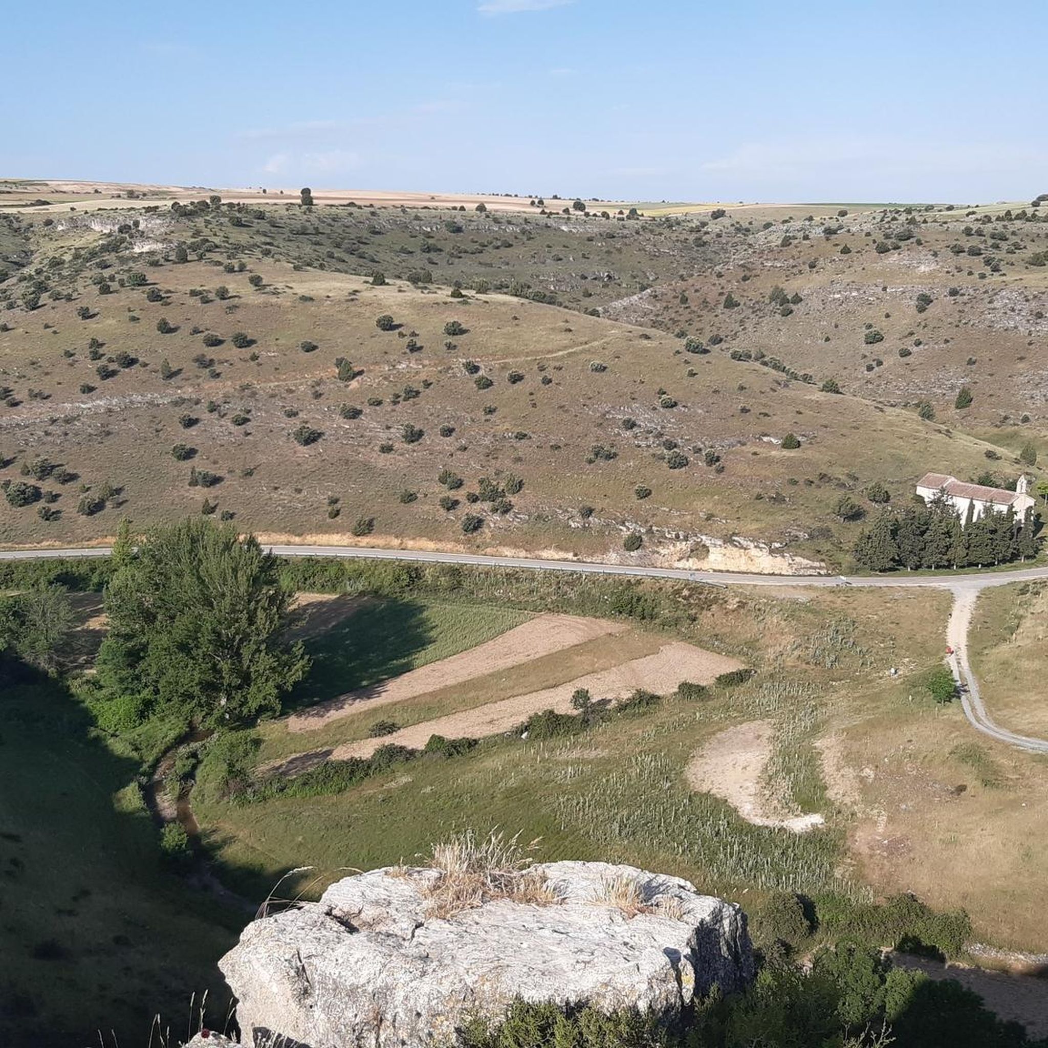
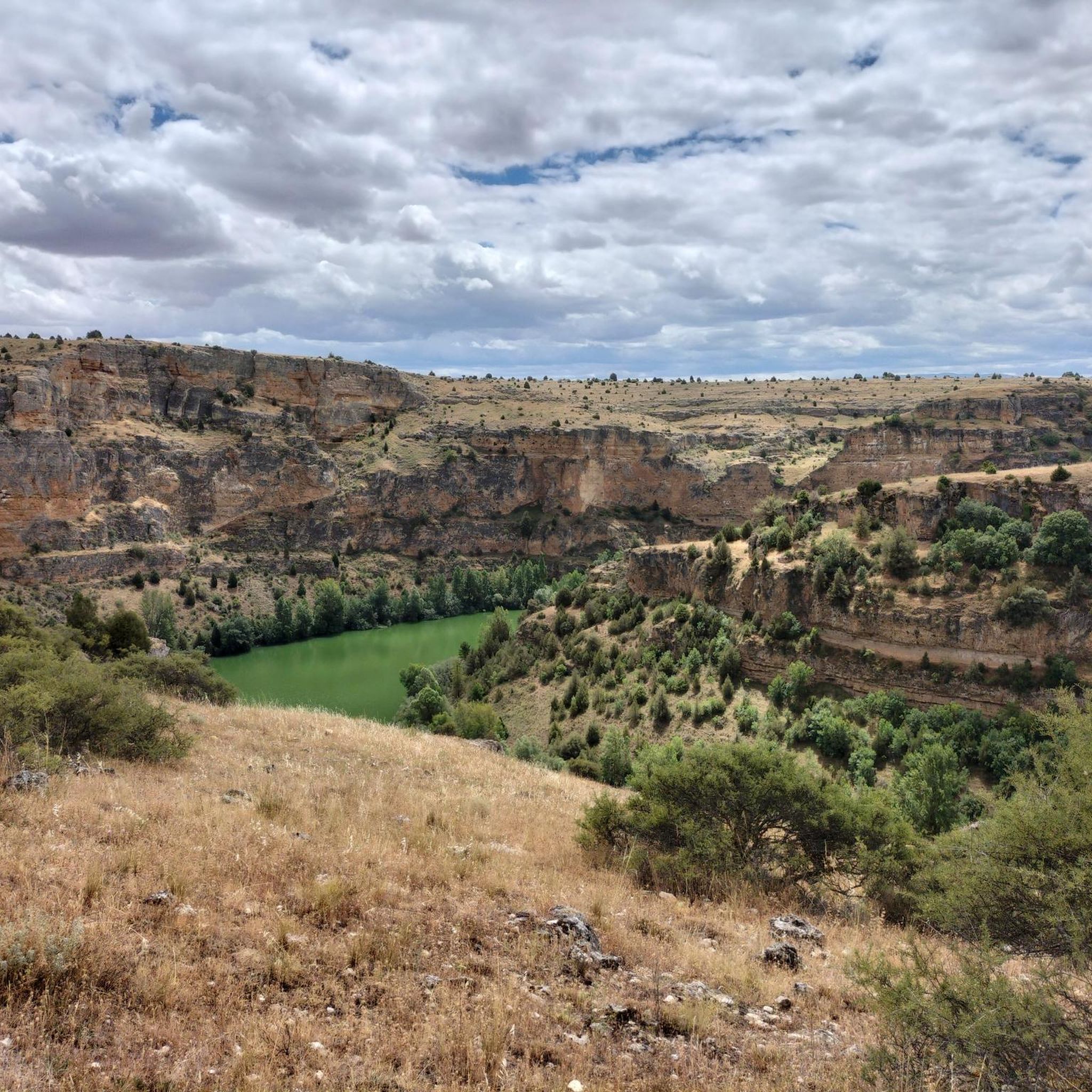
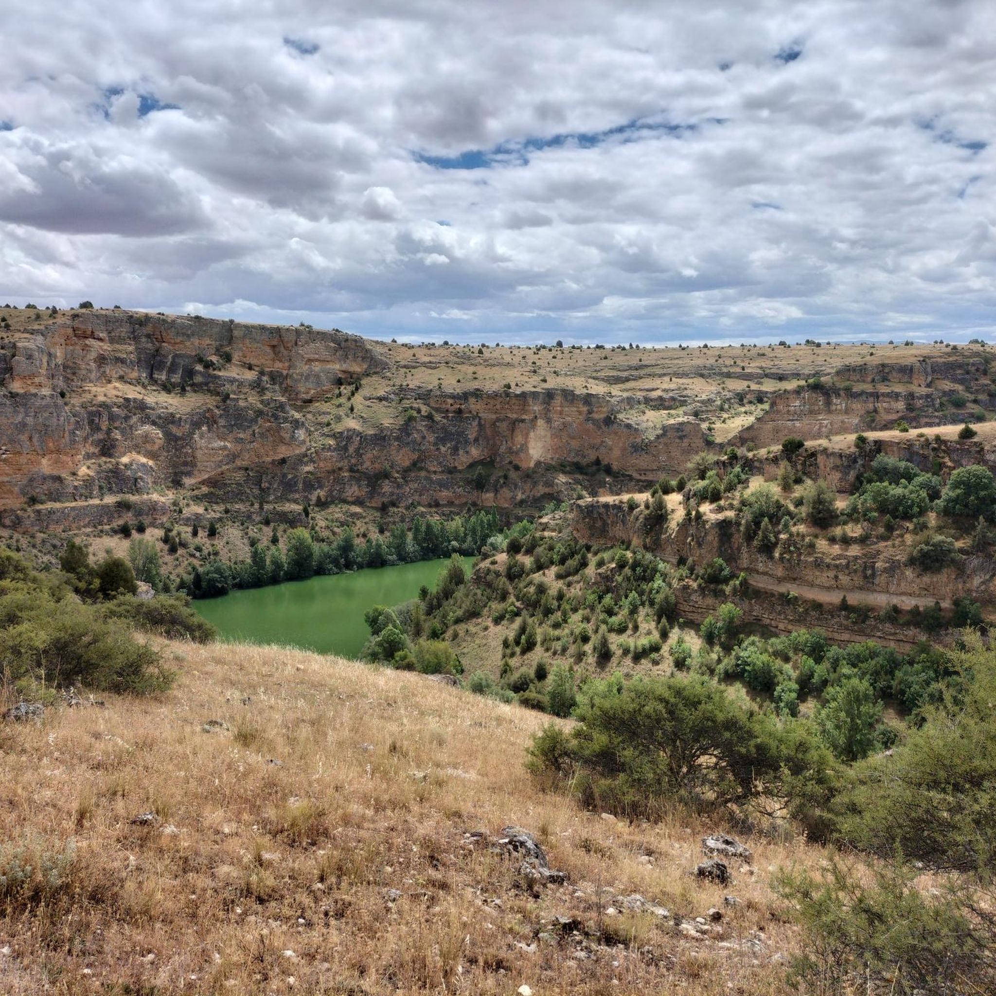
As you approach the historic town of Sepúlveda, the spectacular views of the Hoces del Duratón are revealed in their magnificent splendor. Like dominant towers, the rock formations of the surrounding cliffs are a powerful sight.
0
0
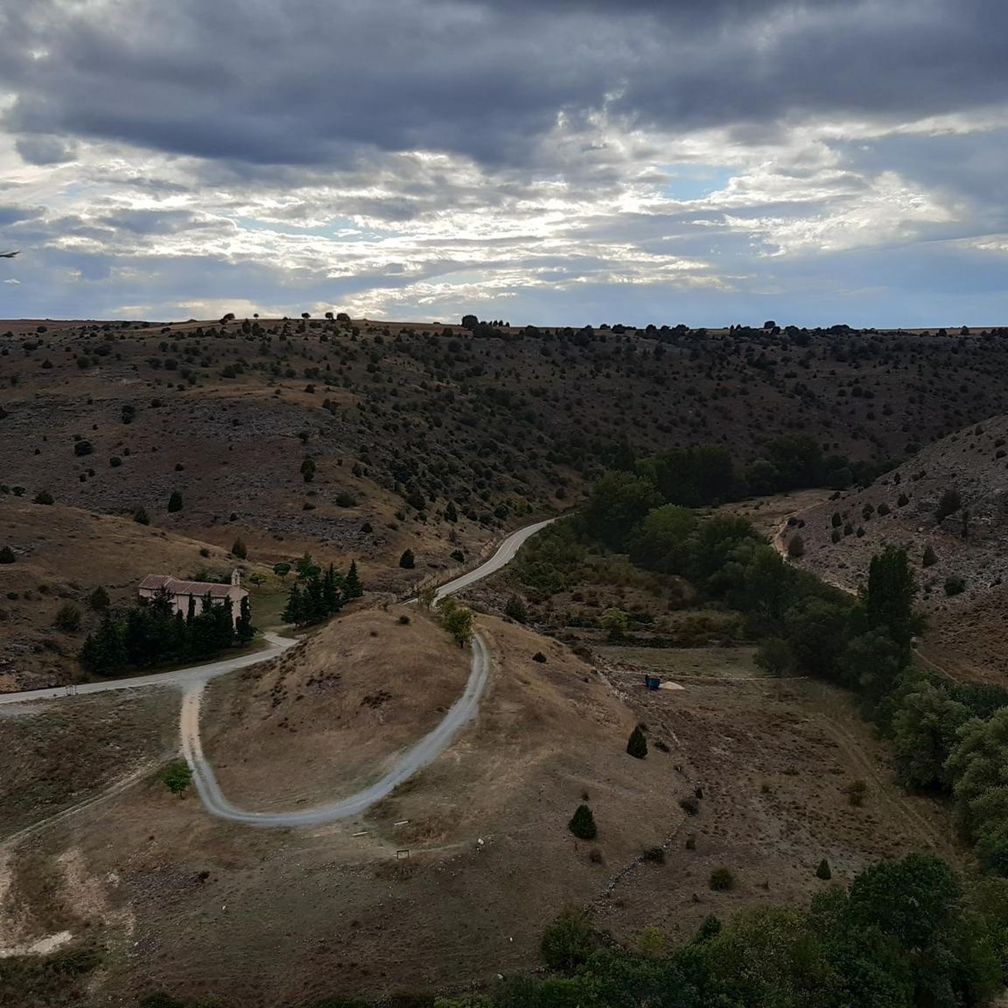
In this part of the river the path is narrow and there is a descent that reaches the river where on the other side, you can see the city of Sepúlveda.
0
1
Frequently Asked Questions
How many running routes are available in Castroserna De Abajo?
There are over 15 running routes around Castroserna De Abajo, offering a variety of experiences for different fitness levels. You'll find everything from easy paths to more challenging trails.
What kind of terrain can I expect on the jogging routes in Castroserna De Abajo?
The terrain in Castroserna De Abajo is quite diverse. You can expect riverine paths along the San Juan River, impressive limestone cliffs, and dense juniper forests. Many routes involve natural slopes, providing a good workout with varied elevation changes.
Are there any easy running routes suitable for beginners or a relaxed jog?
Yes, there are easy running routes available. For instance, the Long Duratón Trail is an easy 2.9-mile (4.6 km) path that offers a relatively flat surface, perfect for a quick and relaxed run.
Are there any challenging running trails for experienced runners?
Absolutely. For those seeking a more demanding experience, there are 4 difficult routes in the area. The region's limestone cliffs and varied topography provide excellent opportunities for trail running with significant elevation changes, such as the Sepúlveda – Vulture Cliff loop from Sepúlveda.
What natural attractions or landmarks can I see while running in Castroserna De Abajo?
The area is rich in natural beauty. You might encounter impressive limestone cliffs that are vital nesting grounds for griffon and Egyptian vultures. The San Juan River itself is a central feature, and you can explore geological formations like Vulture Cliff. Other notable highlights include the Hoces del Duratón Natural Park and the Cueva de los Enebralejos, Prádena.
Are there any circular running routes in the area?
Yes, many routes in the region are circular, allowing you to start and end at the same point. An example is the Views of Pedraza loop from Pedraza, which offers varied terrain and scenic views.
What do other runners say about the trails in Castroserna De Abajo?
The running routes in Castroserna De Abajo are highly rated by the komoot community, with an average score of 5.0 stars. Runners often praise the diverse terrain, the peaceful and unspoiled environment, and the opportunities for wildlife observation, especially the griffon vultures.
Are the running routes in Castroserna De Abajo suitable for families?
While specific family-friendly routes are not highlighted, the presence of easy paths like the Long Duratón Trail suggests options for families looking for a less strenuous outdoor activity. The peaceful environment and natural features can make for an enjoyable outing.
Can I bring my dog on the running trails?
The region's natural environment generally welcomes dogs, but it's always recommended to keep them on a leash, especially in areas with wildlife such as nesting vultures, and to respect local regulations. Most natural trails are suitable for dogs.
Is there parking available near the running routes?
As a small municipality, Castroserna De Abajo typically offers accessible parking in or near the village center, which often serves as a starting point for local trails. For specific routes, it's advisable to check the route details on komoot for designated parking areas.
What is the best time of year to go running in Castroserna De Abajo?
The diverse landscape of Castroserna De Abajo makes it suitable for running in various seasons. Spring and autumn offer pleasant temperatures and vibrant scenery. Summer mornings or evenings are ideal to avoid the midday heat, while winter can provide a unique, tranquil experience, though some paths might be more challenging depending on weather conditions.
Are there any routes that follow the San Juan River?
Yes, the San Juan River is a prominent feature of the area, and its banks offer dedicated paths. The 'Senda del río San Juan' is a well-known path stretching 6.75 km, providing a scenic and relatively flat route ideal for runners who enjoy riverside views.
Most popular routes around Castroserna De Abajo
Most popular attractions around Castroserna De Abajo

Get inspired with the komoot mobile app


Explore more
Browse the best Running Trails & Routes in other regions.
