The best walks and hikes around Valdemanco Del Esteras
5.0
(1)
4
hikers
4
hikes
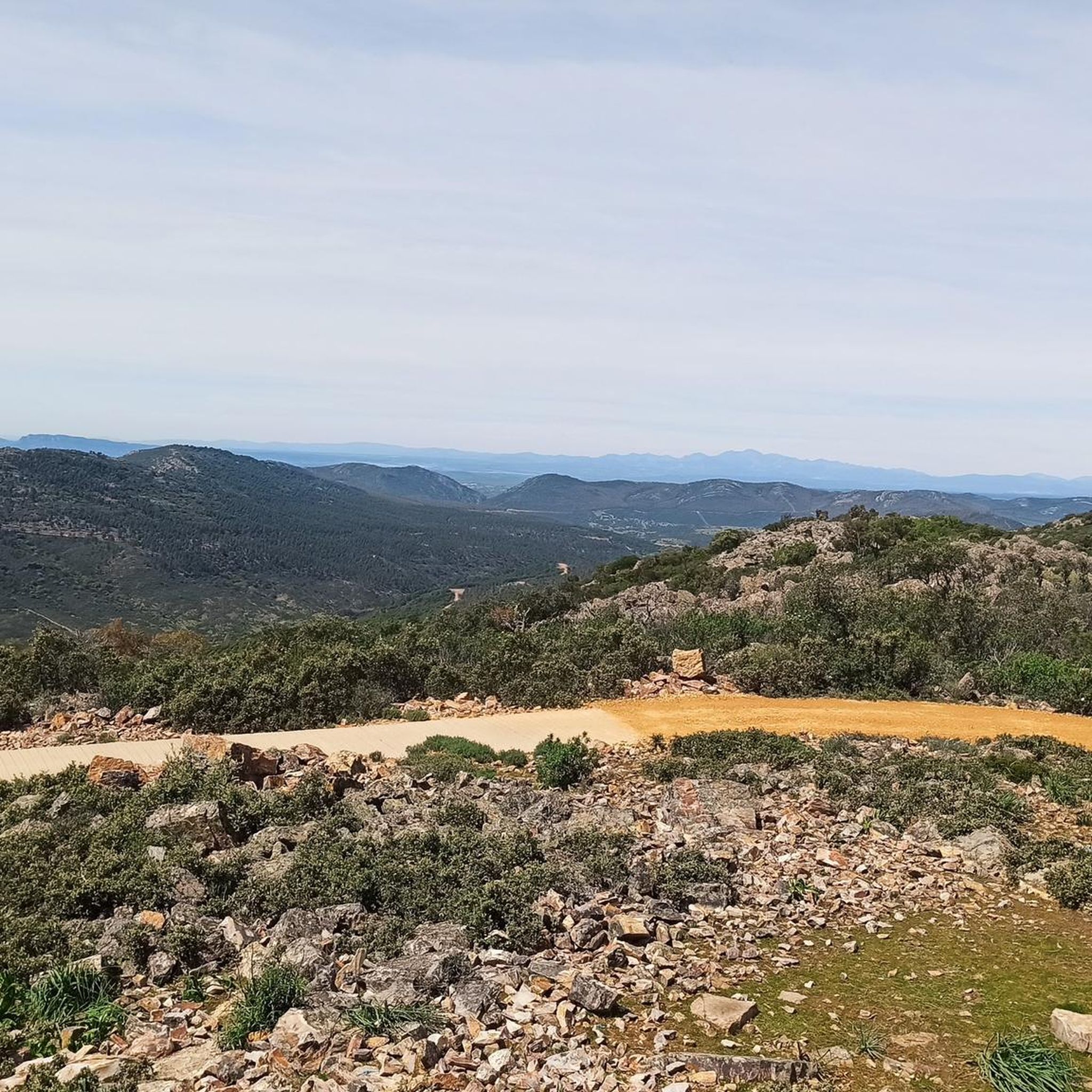
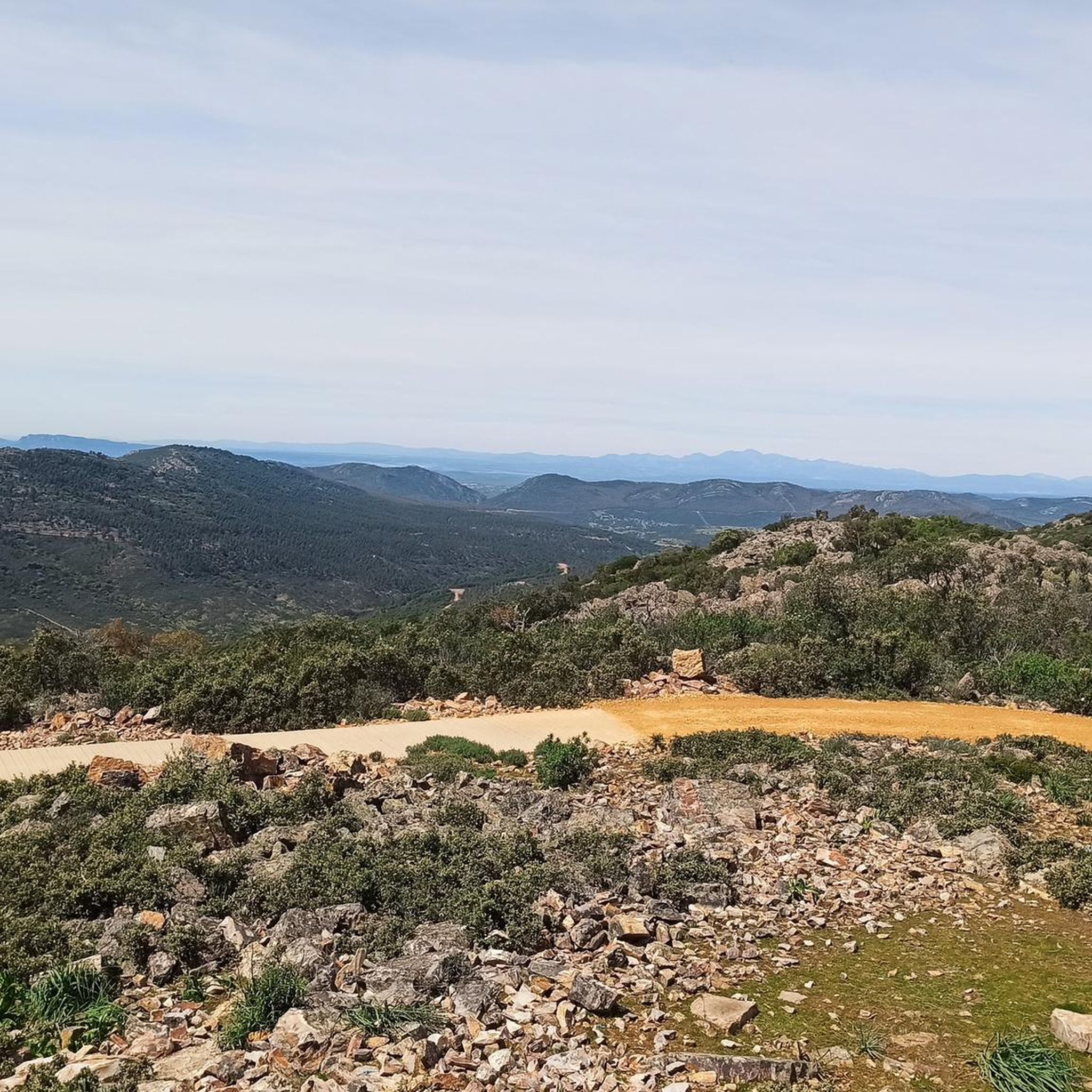
Hiking around Valdemanco Del Esteras offers access to the natural landscapes of the Valle de Alcudia and Sierra Madrona. The terrain features rocky formations, valleys, and significant peaks such as Don Pablo (923 m). Watercourses like the Esteras River and Arroyo del Río Frío are prominent, with the latter featuring historic mill ruins. The flora consists of matorral, holm oaks, cork oaks, and riparian forests along the rivers.
Best hiking trails around Valdemanco Del Esteras
- The most popular hiking route…
Last updated: May 14, 2026
5.0
(1)
2
hikers
12.0km
03:09
100m
100m
Moderate hike. Good fitness required. Easily-accessible paths. Suitable for all skill levels.
21.1km
05:50
350m
350m
Hard hike. Very good fitness required. Easily-accessible paths. Suitable for all skill levels.

Sign up for free
1
hikers
10.6km
02:55
180m
180m
Moderate hike. Good fitness required. Easily-accessible paths. Suitable for all skill levels.
1
hikers
9.83km
02:55
300m
300m
Moderate hike. Good fitness required. Easily-accessible paths. Suitable for all skill levels.
5.01km
01:31
180m
180m
Easy hike. Great for any fitness level. Easily-accessible paths. Suitable for all skill levels.
Our route recommendations are based on thousands of hikes, rides, and runs completed by other people on komoot.
Start today with a free account
Your next adventure awaits.
Login or Signup
Popular around Valdemanco Del Esteras
Tips from the Community

Municipality located in the valley of the Tierteafuera river. In the middle of the Guadiana basin, framed and partially divided by the Grande and Chico streams, two kilometers from the course of the Guadiana River. There is evidence of habitation in this area since pre-Roman times, as demonstrated by the presence of several castles, such as the Castle or Castilnegro, and even a motilla found in the 1970s and located at the exit of the town. .
4
0

Small town near Almadén, integrated into the Valle de Alcudia region. Its most emblematic building is the Church of San Juan Bautista and Santo Domingo de Silo, which dates back to the 16th century. A few kilometers from the town, in the Sierra de la Virgen, is the Virgen del Castillo hermitage, built on the ruins of a castle of Arab origin.
2
0
An airfield used by Republican aviation during the civil war, built in 1937. You can visit the bunker, in perfect condition.
1
1
Swamp located near Saceruela, Ciudad Real. From the CM-4110 highway we arrive along a dirt road, approx. 1 km.
1
1

This is one of the paths that takes you in the direction of the top of Cerro de San Blas and that is further west and where the old path that took you from Agudo to Baterno is.
1
0
To the south of Cerro de San Blas we find Baterno, which is a small population center that is part of the commonwealth of La Siberia Extremeña.
2
0
Beautiful town that is located at the foot of a small hill called Pinguta del Morro and that is also located south of the Río Siruela.
1
0
Frequently Asked Questions
What kind of terrain can I expect on hikes around Valdemanco Del Esteras?
The region is characterized by the rugged and picturesque mountainous terrain of the Valle de Alcudia and Sierra Madrona. You'll encounter rocky formations, valleys with clay-rich soils, and significant peaks like Don Pablo (923 m). Riverine environments along the Esteras River and Arroyo del Río Frío also feature prominently.
Are there any easy hiking trails suitable for beginners in Valdemanco Del Esteras?
Yes, there are options for various ability levels. For an easier hike, consider the Ascent to Cerro de San Blas — round trip from Baterno. This 3.1-mile (5.0 km) path offers an ascent to Cerro de San Blas with views of the surrounding landscape.
What natural features or landmarks can I see while hiking in the area?
Hikers can explore diverse natural and historical features. Along the Esteras River, you'll find the Puente del río Esteras (Esteras River Bridge). The Arroyo del Río Frío is notable for its approximately twenty historic flour mill ruins and the Presa de Río Frío. You can also visit the natural spring known as Manantial “La Fuentecilla.”
Are there any circular hiking routes in Valdemanco Del Esteras?
Yes, several routes offer a circular experience. The PR-CR 82 Las Raíces Reservoir - Las Parras Pool - Airfield Trail is a 7.5-mile circular route that passes a reservoir and an airfield. Another option is the more challenging From Agudo to Tamurejo — circular from Baterno, which is 13.1 miles long.
What kind of wildlife might I encounter on the trails?
Valdemanco Del Esteras is rich in wildlife, making it excellent for nature observation. You might spot rabbits, hares, partridges, foxes, deer, and wild boars. Birdwatchers can look for species like Bonelli's eagle, short-toed eagle, red kite, common kingfisher, and even black storks.
What is the best time of year to go hiking in Valdemanco Del Esteras?
The region's climate makes spring and autumn ideal for hiking, offering pleasant temperatures and vibrant natural scenery. Summers can be hot, while winters are generally mild but can have cooler temperatures, especially at higher elevations.
What do other hikers say about the trails in Valdemanco Del Esteras?
The routes in Valdemanco Del Esteras are highly rated by the komoot community, with an average score of 5.0 stars. Hikers often praise the varied terrain, from mountainous paths to serene river valleys, and the opportunity to explore both natural beauty and historical sites.
Are there any historical sites or points of interest near the hiking trails?
Beyond the natural beauty, the area offers historical insights. You can explore the ruins of approximately twenty historic flour mills along the Arroyo del Río Frío. The Church of San Juan Bautista and Castle of the Donceles are also notable historical sites in the broader area.
What types of trees and plants will I see while hiking?
The flora is diverse, primarily consisting of matorral and low mountain vegetation. You'll commonly see holm oaks and cork oaks, along with shrubs like arbutus, heather, rockrose, broom, and rosemary. Along the watercourses, lush riparian forests feature alders, ash, and willows.
How long do hikes typically take in Valdemanco Del Esteras?
Hike durations vary depending on the route and your pace. For example, the moderate PR-CR 82 Las Raíces Reservoir - Las Parras Pool - Airfield Trail typically takes around 3 hours and 9 minutes, while the more difficult From Agudo to Tamurejo — circular from Baterno can take about 5 hours and 50 minutes.
Are there any specific peaks or viewpoints worth seeking out?
The region is home to several significant peaks that offer rewarding ascents and scenic views. These include Don Pablo (923 m), Osilla (895 m), Pilón del Lobo (883 m), Pescadera (855 m), Torilejo (816 m), and Parrales (811 m). The Ascent to Cerro de San Blas also provides good views.
Most popular routes around Valdemanco Del Esteras
Most popular attractions around Valdemanco Del Esteras

Get inspired with the komoot mobile app


