The best cycling routes around Valacloche
5.0
(3)
34
riders
6
rides
Touring cycling routes around Valacloche traverse a varied landscape, from the demanding climbs of the Sierra de Javalambre to serene river valleys carved by the Camarena River. The region features extensive pine, oak, and juniper forests, alongside open plains. Notable natural features include the mountains of Cerro Estepar and the hills of Cerro Simón Morrón, offering diverse terrain for cyclists.
Best touring cycling routes around Valacloche
- The most popular touring cycling route is Empty Mountains - circular by Javalambre,…
Last updated: July 1, 2026
2
riders
33.0km
03:39
960m
960m
Hard bike ride. Very good fitness required. Some segments of this route may be unpaved and difficult to ride.
40.3km
04:04
1,140m
1,130m
Hard bike ride. Very good fitness required. Mostly paved surfaces. Suitable for all skill levels.

Sign up for free
5.0
(1)
13
riders
91.3km
08:15
2,160m
2,160m
Hard bike ride. Very good fitness required. Mostly paved surfaces. Suitable for all skill levels.
5.0
(1)
7
riders
33.2km
03:46
1,040m
1,030m
Hard bike ride. Very good fitness required. Mostly paved surfaces. Suitable for all skill levels.
4
riders
35.4km
03:19
920m
920m
Hard bike ride. Very good fitness required. Mostly paved surfaces. Suitable for all skill levels.
Our route recommendations are based on thousands of hikes, rides, and runs completed by other people on komoot.
Start today with a free account
Your next adventure awaits.
Login or Signup
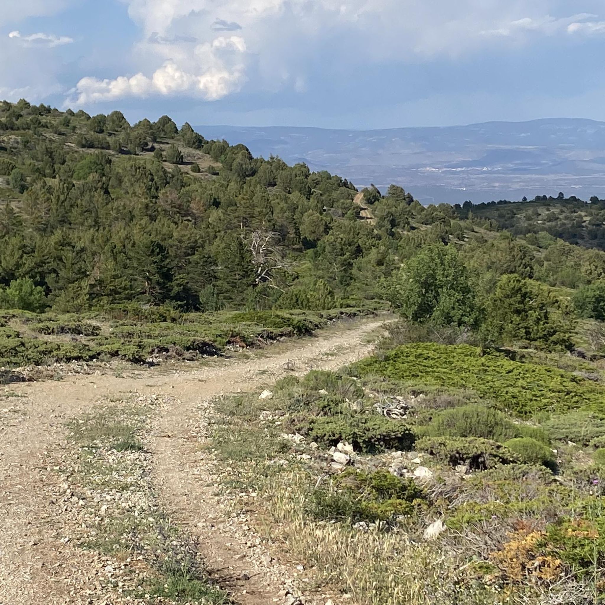
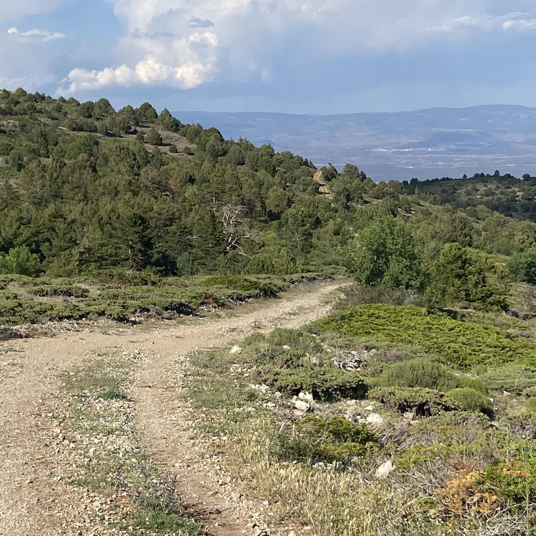
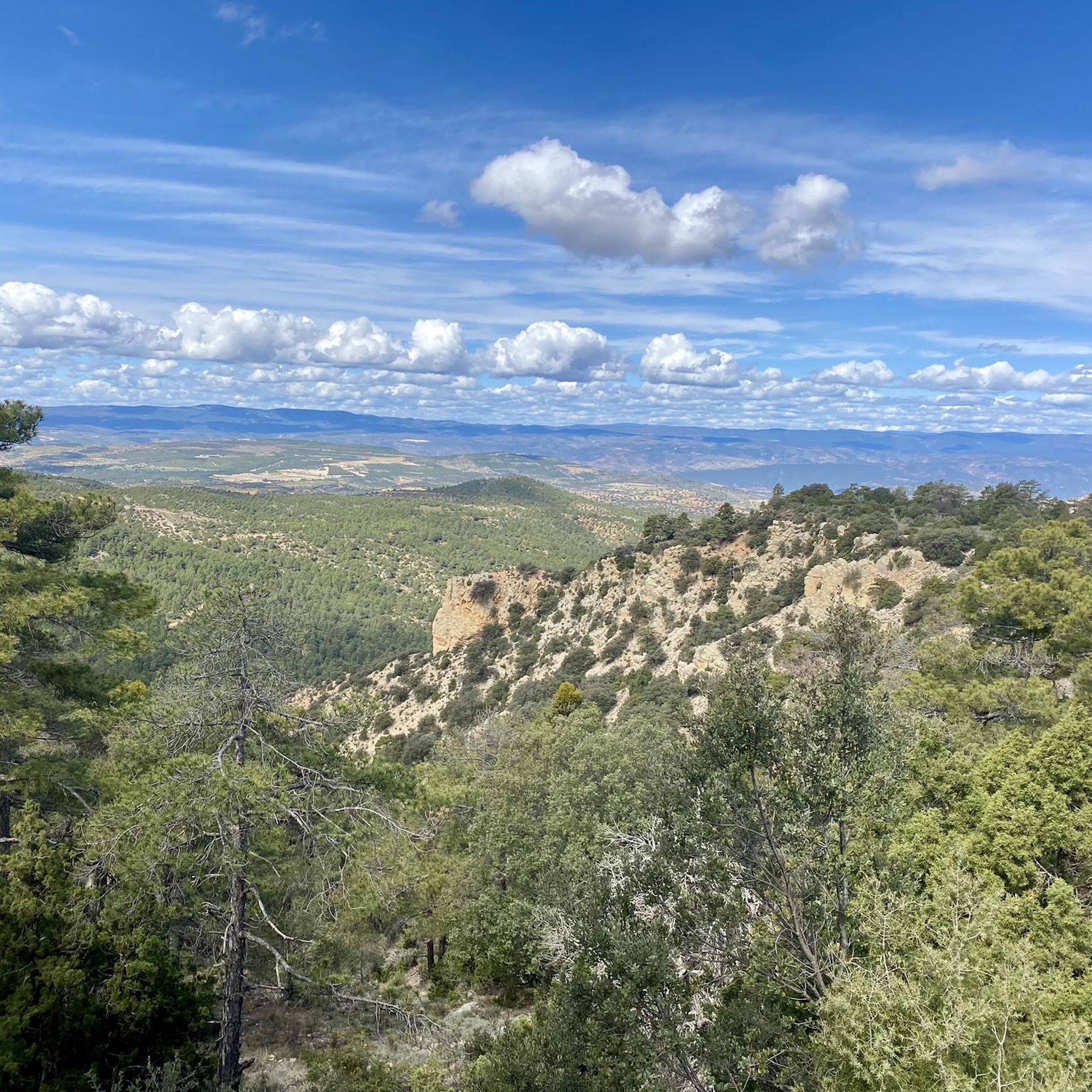
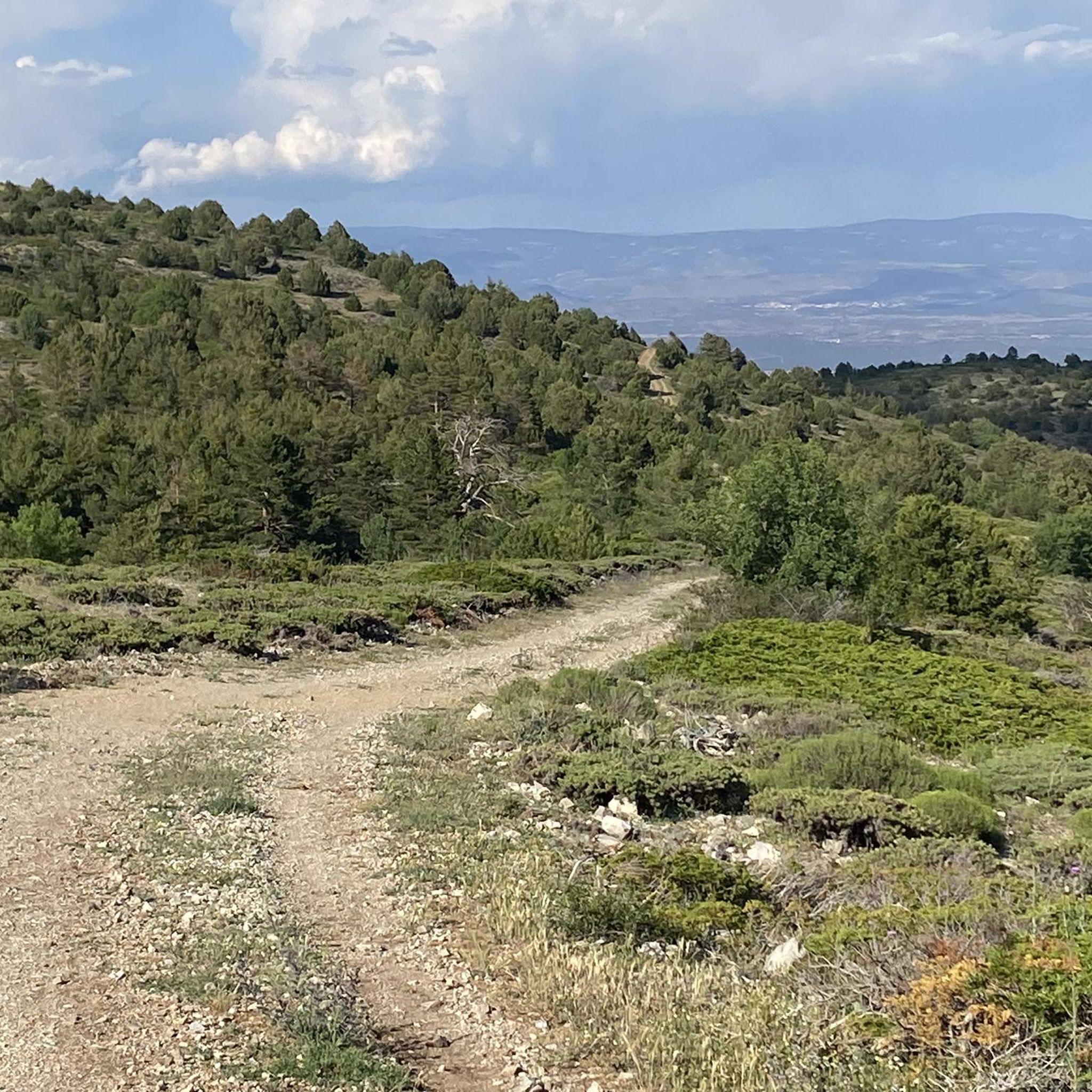
Tips from the Community

La Puebla de Valverde is a Spanish municipality and a small fortified town with 465 inhabitants (as of 2024). The town is located approximately 20 km southeast of Teruel, south of the Escandón Pass. The road from Teruel to the Mediterranean coast originally ran through the town, but now bypasses it. At La Puebla de Valverde, the road to Mora de Rubielos turns off. The town is situated on a broad, elongated hill facing west-east. The city walls have been preserved. The town was founded as part of the Reconquista in the 13th century and was first mentioned in 1265. It was located on the Camino Real to Valencia and served to protect the southern border of Aragon against the then still Muslim Kingdom of Valencia.
1
0

The Rabadá and Navarro refuge is located in the heights of the Javalambre mountain range, very close to the ski resort. It has a capacity of 74 beds and offers blankets, heating, hot showers, food service and a bar.
1
0

Close to the Javalambre Peak and ski slopes.
1
0

great climb to a beautiful viewpoint summit.
1
0

Located at an altitude of 1,715 meters, this refuge is accessible from La Puebla de San Miguel or Camarena de la Sierra. The refuge is a simple stone hut with basic amenities such as a small fireplace and a nearby fountain called Fuente del Pozo. It is an ideal place for hikers looking to rest for the night while exploring the Sierra de Javalambre.🚴🚶♀️🚵🌄
4
0

Always cold and abundant water, at 1,500 m above sea level. According to a local who was drinking water there 44 years ago, it is so called because the coldness of its waters caused some indigestion to the hot farmers who quenched their thirst there.
1
0
for us the scenic highlight of the Montañas Vacías Bikepacking Tour
1
0
Frequently Asked Questions
How many touring cycling routes are available around Valacloche?
There are over 5 touring cycling routes documented around Valacloche, offering a variety of experiences for cyclists.
What kind of terrain can I expect on touring cycling routes around Valacloche?
The region offers diverse terrain, from demanding climbs in the Sierra de Javalambre to serene river valleys carved by the Camarena River. You'll also find extensive pine, oak, and juniper forests, alongside open plains. The area is characterized by its dramatic and varied landscape.
Are there any notable natural features or landmarks to see while cycling?
Yes, Valacloche is rich in natural beauty and historical sites. You can cycle past the impressive Pico Javalambre, explore the unique landscape of The Amanaderos of Riodeva, or discover the ruins of the 13th-century Valacloche castle, which offers spectacular panoramic views.
Is the Ojos Negros Greenway suitable for touring cyclists in Valacloche?
Absolutely. The Ojos Negros Greenway is a primary draw for touring cyclists, offering a largely car-free experience along old train tracks. A significant portion is downhill, making it accessible, and it features varied landscapes, tunnels, and bridges connecting Teruel, Castellón, and Valencia.
Are there any circular touring cycling routes available?
Yes, several routes are circular. For instance, you can try Empty Mountains - circular by Javalambre or Empty Mountains - circular through the Puebla de San Miguel Natural Park. Another option is the Pico Javalambre – Viaducto de Peñaflores loop from Camarena de la Sierra.
What is the difficulty level of touring cycling routes in Valacloche?
The touring cycling routes around Valacloche are generally considered challenging, with all documented routes currently rated as 'difficult'. They often involve significant elevation changes and mountain terrain, such as those found in the Sierra de Javalambre.
What do other touring cyclists say about the routes in Valacloche?
The routes in Valacloche are highly rated by the komoot community, with an average score of 5.0 stars from 3 reviews. Over 30 touring cyclists have used komoot to explore the varied terrain, often praising the challenging ascents and panoramic views.
Are there any routes that follow river valleys or feature waterfalls?
Yes, the region is rich in river valleys, such as the one carved by the Camarena River. The The Amanaderos of Riodeva – Fuente de Matahombres loop from Riodeva will take you near the source of the Riodeva River, a unique natural area that can feature waterfalls depending on the season.
What is the best time of year for touring cycling in Valacloche?
Valacloche, nestled in the Sierra de Javalambre, experiences varied seasons. While specific recommendations depend on your tolerance for heat or cold, spring and autumn generally offer pleasant temperatures for cycling. Summer can be warm, especially in the valleys, while winter in the mountains can bring colder conditions.
Are there options for family-friendly touring cycling?
While many routes in the immediate Valacloche area are rated difficult due to mountain terrain, the nearby Ojos Negros Greenway offers a largely car-free and generally downhill experience, making it a more accessible option for families looking for a less strenuous ride.
What about parking facilities near the touring cycling routes?
As Valacloche is a rural municipality, parking is generally available in or near the villages that serve as starting points for routes. For specific routes, it's advisable to check the route details on komoot for suggested parking locations.
Are there any routes that pass through forests?
Yes, many routes in the Valacloche area traverse extensive pine, oak, and juniper forests, offering shaded sections and beautiful natural scenery. The diverse terrain ensures you'll encounter varied landscapes, including forested areas.
Are there any routes that are particularly long or challenging for experienced cyclists?
Experienced cyclists looking for a significant challenge will find routes like the Pico Javalambre – Viaducto de Peñaflores loop from Camarena de la Sierra particularly rewarding. This route covers over 91 km with substantial elevation gain, typically taking over 8 hours to complete.
Most popular attractions around Valacloche

Get inspired with the komoot mobile app


Explore more
Browse the best Cycling routes in other regions.
