The best road cycling routes around Benifaió
4.6
(45)
4,179
riders
12
rides
Road cycling around Benifaió offers diverse landscapes, from flat routes through natural parks to challenging climbs. The region is characterized by its proximity to the Albufera Natural Park, featuring extensive marshlands and picturesque rice fields. Cyclists can experience well-surfaced routes that traverse these unique environments, with varied scenery throughout the year. The terrain includes gentle paths suitable for easy rides and ascents with significant gradients for advanced cyclists.
Best road cycling routes around Benifaió
- The most popular road cycling route…
Last updated: July 7, 2026
37
riders
129km
06:04
1,130m
1,130m
Hard road ride. Very good fitness required. Some segments of this route may be unpaved and difficult to ride.
19
riders
48.8km
03:10
60m
60m
Moderate road ride. Good fitness required. Some segments of this route may be unpaved and difficult to ride.

Sign up for free
21
riders
44.4km
02:36
60m
60m
Moderate road ride. Good fitness required. Some segments of this route may be unpaved and difficult to ride.
5
riders
45.9km
02:58
430m
430m
Moderate road ride. Good fitness required. Some segments of this route may be unpaved and difficult to ride.
6
riders
Moderate road ride. Good fitness required. Some segments of this route may be unpaved and difficult to ride.
Get access to more routes and recommendations from other explorers.
Sign up for free
Already have an account?
Our route recommendations are based on thousands of hikes, rides, and runs completed by other people on komoot.
Start today with a free account
Your next adventure awaits.
Login or Signup

Tips from the Community

The port of Barx is a Valencian classic. Its horseshoe bends run over the panorama of the surrounding mountains and the Mediterranean coast.
2
0

Mareny Barraquetes (in Valencian and officially, Mareny de Barraquetes) is a minor local entity of the Valencian Community, Spain, belonging to the province of Valencia. Formerly a district of the municipality of Sueca, since 1999 it has been an entity of territorial scope below the municipality (EATIM) belonging to said municipal term. Mareny de Barraquetes is located in the heart of the Albufera natural park and next to the sea. The nearest towns are Sueca 7 km (kilometers) away, 28 km from Valencia and 9 km from Cullera. Its toponym mareny means ‘marshland’, that is, an area very close to the sea and easily flooded. For its part, the term barraquetes indicates the type of habitat that was frequent throughout the area, huts built with reeds and mud, materials from the marshes and the dune cordon. The historical origin of the first human settlements in this area dates back to the period of Roman domination, when the Phocaean colonies were established near Sicania, with El Mareny de Barraquetes being one of them. It survived through the centuries, as an alquería, thus reaching the first historical antecedents, which are found in the first census of inhabitants that was made in Sueca in 1795, by governmental order for the preparation of the conscription, as Spain was at war against Revolutionary France of the Directory (1793-1795). Likewise, until the 1845 census, we do not have a specific list of residents from El Mareny, with nine huts. Its inhabitants are mainly engaged in agriculture. In the last century, the population nucleus based its economy mainly on fishing. There were three fishing settlements where families lived who were dedicated to freshwater fishing (in the canals coming from the Júcar). Until recently, there was a fishing settlement where this work continued, but with modern facilities.
0
0

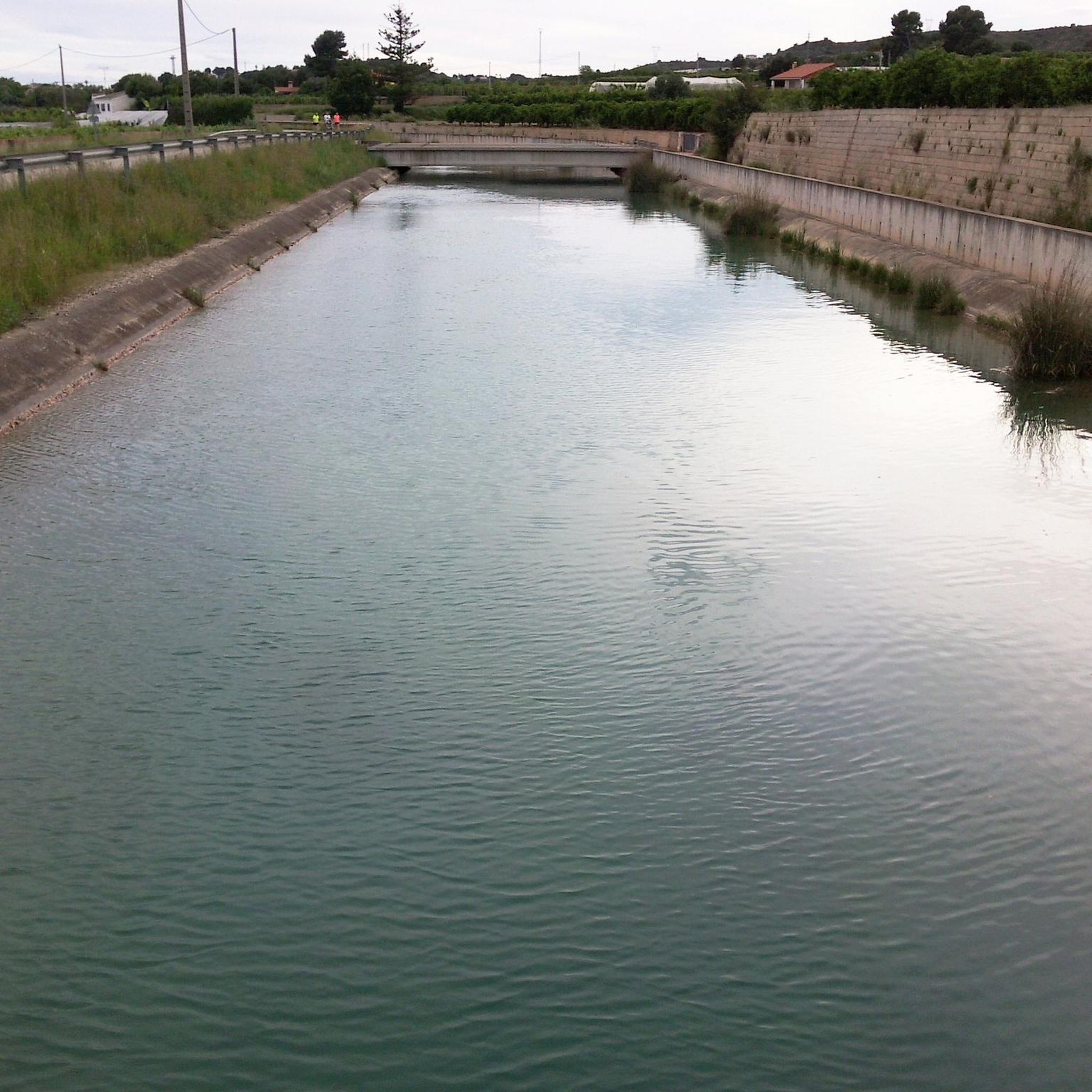
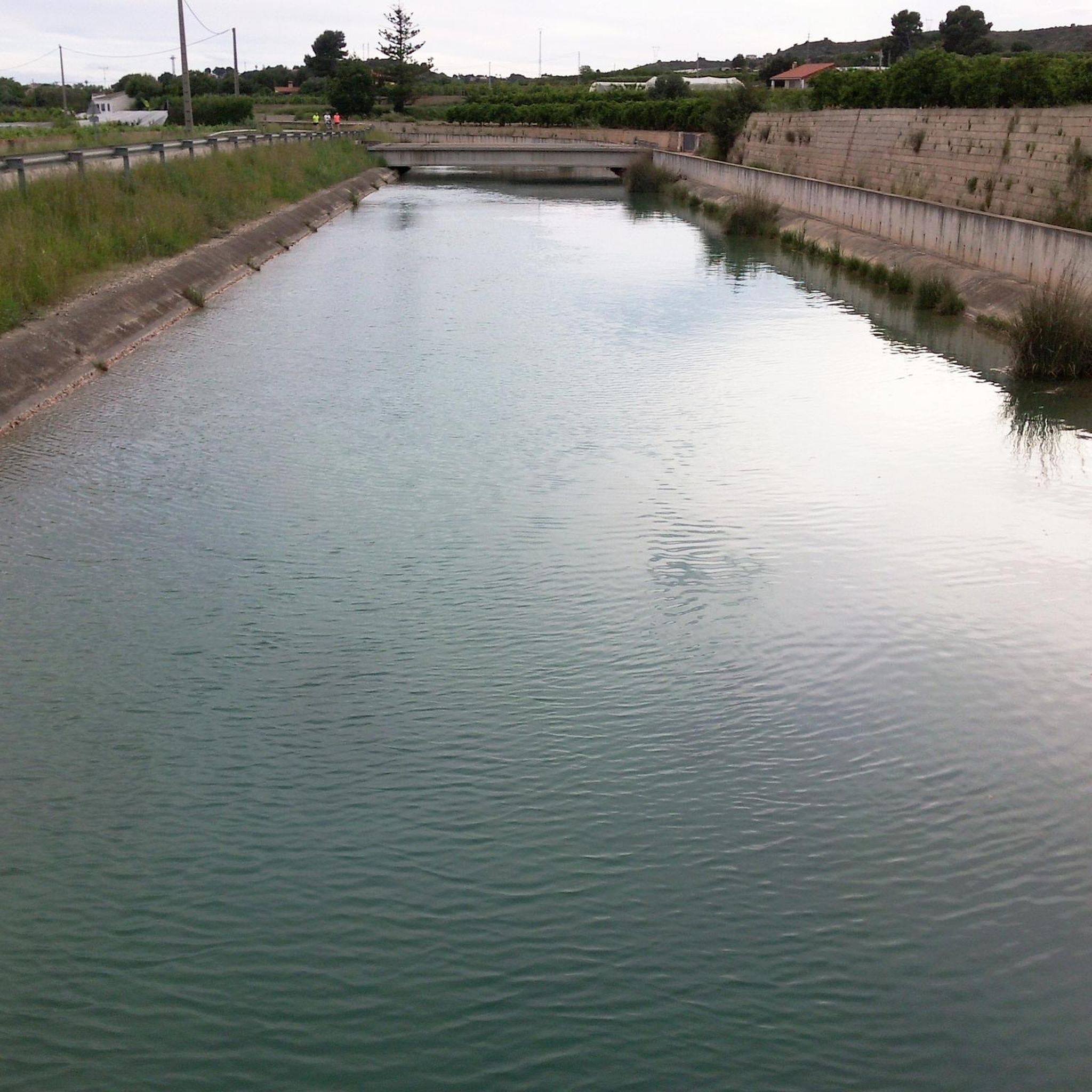
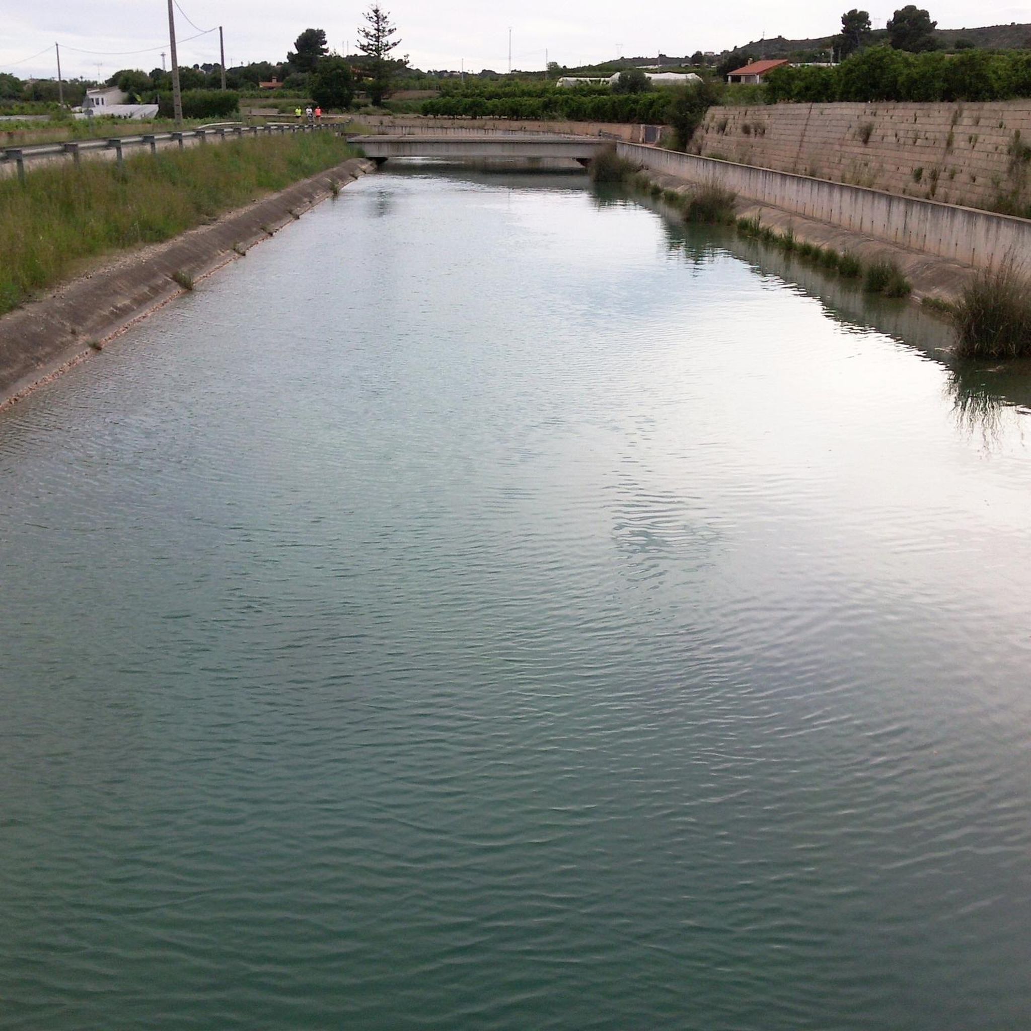
El canal del transvasament Xúquer-Túria passa en altura, mentre que la pista paral·lela transcorre al nivell del riu, de manera que s'inunda quan el Magre ve crescut.
2
0
Junt al canal existeix una carretera poc transitada molt adequada per a circular en bici des de prop de Tous fins el terme d'Aldaia, a partir del qual el canal segueix de manera subterrània.
1
0
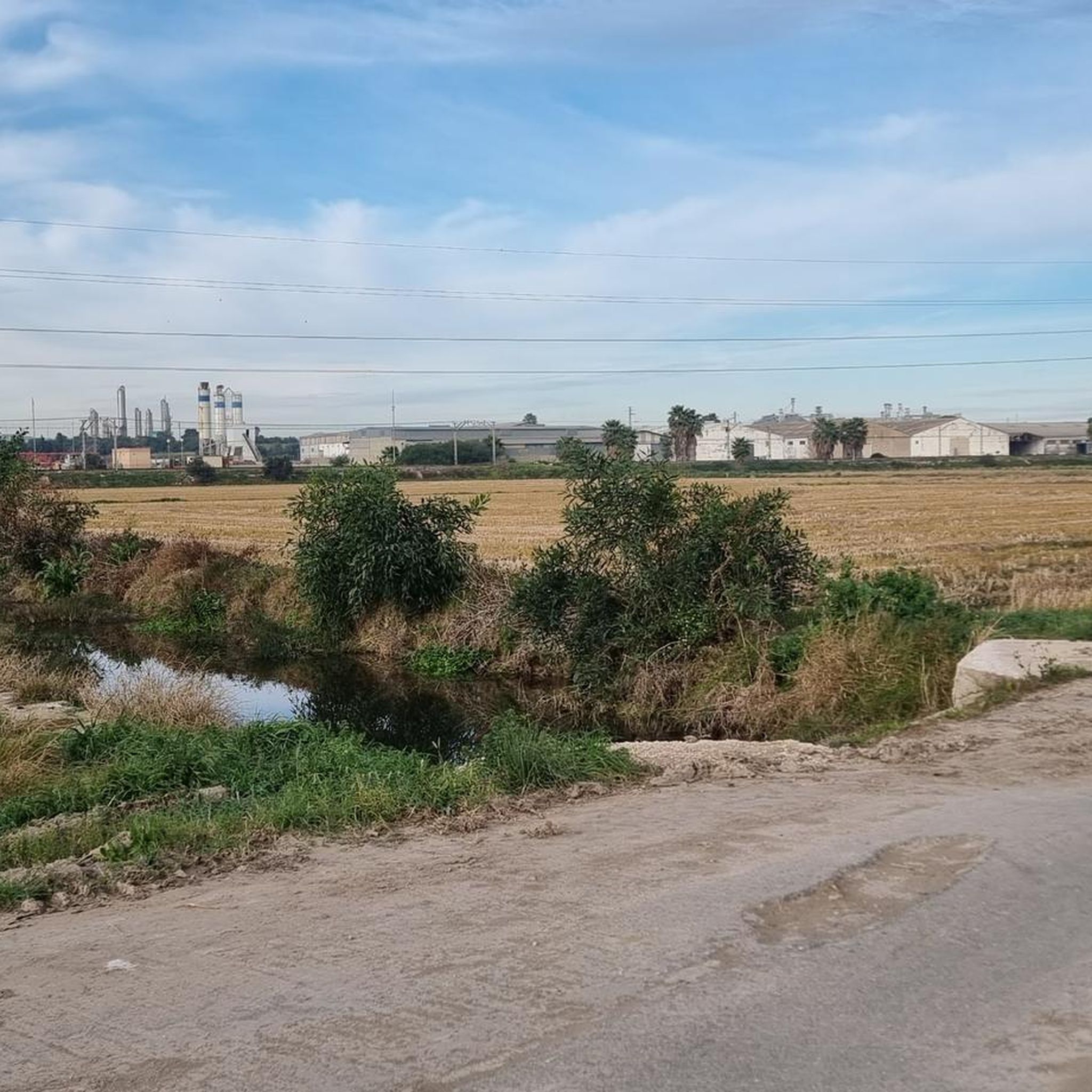
Cal visitar-los en diverses ocasions al llarg de l'any per a gaudir dels canvis de color provocats per les distintes fases del conreu de l'arròs.
1
0
Road in good condition (improved post-DANA)
1
0

I cannot cycle this. Got up until the start of the railway on the right side but then… ouch
1
0
Frequently Asked Questions
How many road cycling routes are available around Benifaió?
Benifaió offers a wide selection of road cycling routes, with over 60 options available. The komoot community has documented 14 specific routes, catering to various preferences and skill levels.
What kind of terrain can I expect on road cycling routes in Benifaió?
The region around Benifaió provides diverse terrain for road cyclists. You'll find flat, scenic rides through natural parks and extensive marshlands, particularly around the Albufera Natural Park. For those seeking a challenge, there are also routes incorporating significant elevation gain and mountain passes, with some ascents reaching gradients of up to 19%.
When is the best time of year for road cycling in Benifaió?
Thanks to its Mediterranean climate, Benifaió is suitable for road cycling much of the year, with an average annual temperature around 17 degrees Celsius. March is particularly popular among cyclists. The scenery in the Albufera Natural Park changes throughout the year, offering different views depending on the rice cultivation cycle.
Are there routes suitable for beginners or those looking for an easy ride?
Yes, Benifaió offers routes suitable for easier rides. Two of the documented routes are classified as easy, providing gentle paths through the region's landscapes. These are ideal for a relaxed cycling experience.
What about more challenging road cycling routes in the area?
For cyclists seeking a greater challenge, Benifaió has several moderate routes that include significant climbs and elevation changes. For example, the La Visteta Viewpoint – Port de Barx loop from Benifaió - Almussafes route covers 55.7 miles (89.6 km) with over 650 meters of ascent, including a climb to a viewpoint and a mountain pass. Routes north towards the Sierra Calderona also offer more mountainous terrain.
Are there any circular road cycling routes around Benifaió?
Many of the road cycling routes around Benifaió are designed as loops, allowing you to start and finish in the same location. For instance, the La Puigmola Spring loop from Benifaió - Almussafes is a 64.3-mile (103.4 km) circular path exploring varied terrain.
What natural features or landmarks can I see while road cycling near Benifaió?
Road cycling near Benifaió offers access to stunning natural features and landmarks. A major highlight is the Albufera Natural Park, with its extensive marshlands and picturesque rice fields. You can also visit the Albufera Viewpoint for panoramic views or cycle along the Palmar Road to experience the park's unique ecosystem. The Ermita dels Benissants, an old hermitage, offers serene surroundings and splendid views of the entire Albufera area after a challenging climb.
Can I cycle through the Albufera Natural Park?
Yes, several road cycling routes allow you to experience the unique landscapes of the Albufera Natural Park. The Palmar Road – Pujol Pond loop from Benifaió - Almussafes is a 33.7-mile (54.2 km) route that leads directly through the natural park and its iconic rice fields, offering changing scenery throughout the year.
Is there parking available near the road cycling routes in Benifaió?
While specific parking areas for each route are not detailed, Benifaió is a well-established town. Cyclists typically find parking in or around the town centers of Benifaió or Almussafes, which serve as common starting points for many routes.
What do other cyclists say about road cycling in Benifaió?
The road cycling routes around Benifaió are highly regarded by the komoot community, holding an average rating of 4.4 stars from over 10 reviews. More than 2000 road cyclists have used komoot to explore the area, often praising the well-surfaced roads and the diverse scenery, from flat rice fields to challenging ascents.
Are there any routes that pass through rice fields?
Absolutely. The region is famous for its rice fields, especially those surrounding the Albufera Natural Park. Routes like the Views of the marsh – Camí Vell de Russafa loop from Benifaió - Almussafes offer picturesque stretches through these agricultural landscapes, providing a unique cycling experience.
Are there any routes that explore the south coast from Benifaió?
Yes, from Benifaió, you can access routes that lead towards the south coast. These routes often cross El Saler and its pine forests, eventually connecting to the rice fields. They typically offer a flat and safe cycling experience, perfect for enjoying the coastal environment.
Most popular attractions around Benifaió

Get inspired with the komoot mobile app


Explore more
Browse the best Road cycling routes in other regions.
