The best walks and hikes around Mølen fuglefredningsområde
4.6
(142)
813
hikers
63
hikes
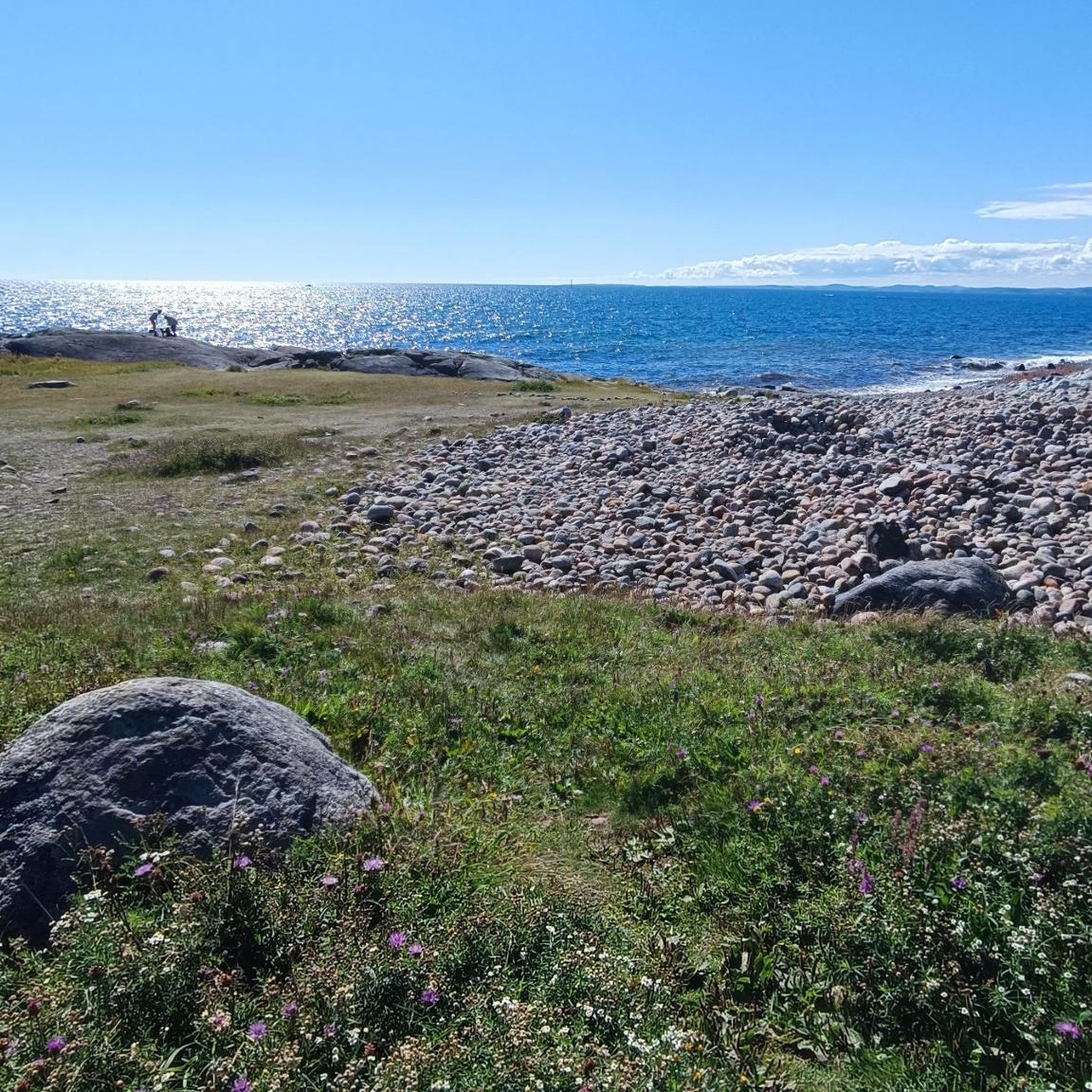
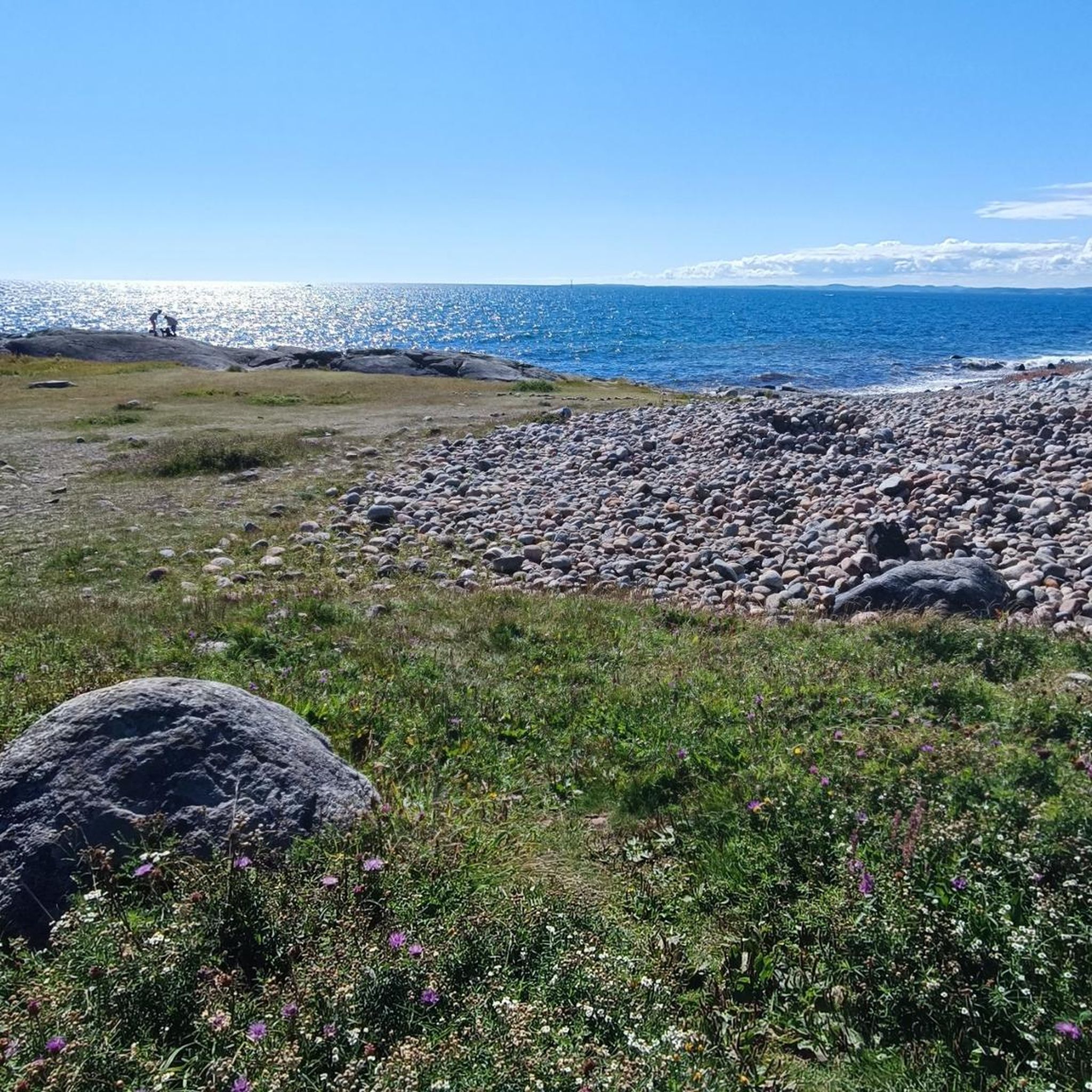
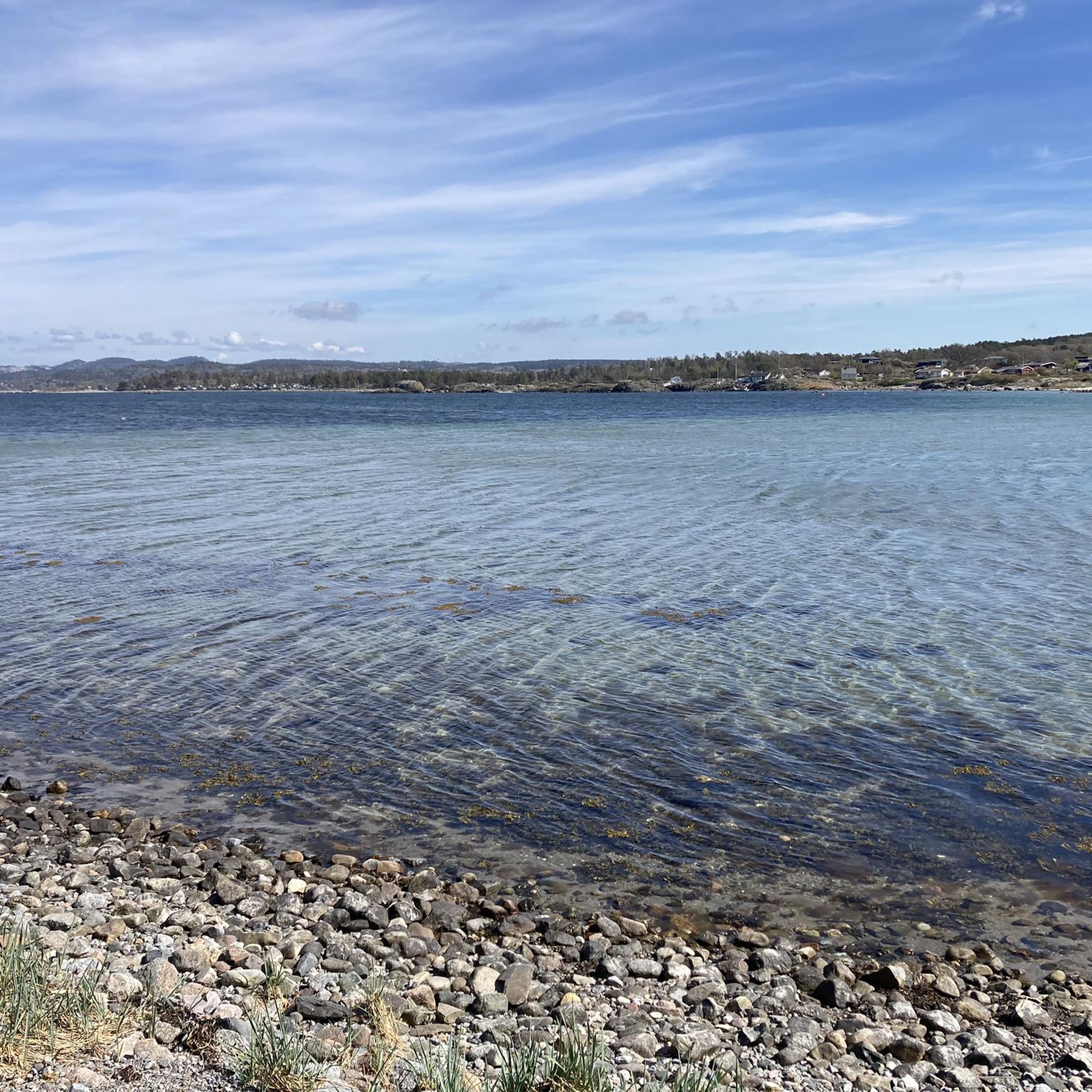
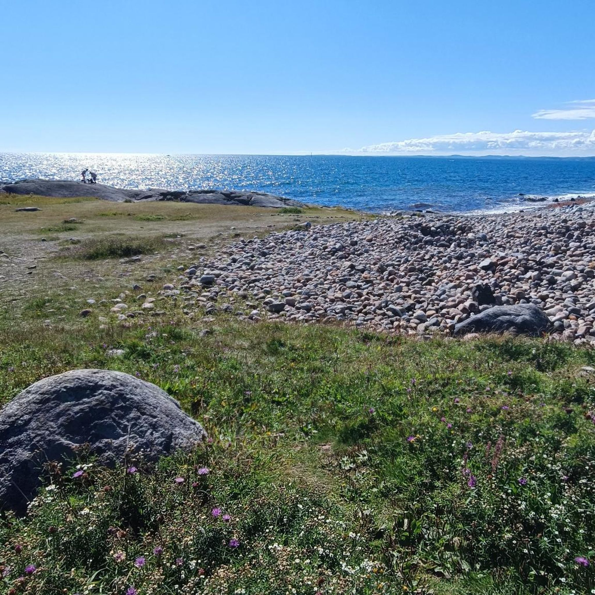
Hiking around Mølen fuglefredningsområde features a unique coastal landscape, characterized by Norway's largest pebble beach, formed by the Vestfoldraet after the last Ice Age. The area is recognized as a UNESCO Geopark, showcasing over 100 rock types, including larvikite. Coastal paths offer views of the sea and lead past ancient burial cairns from the Iron Age, some of which are significant historical landmarks. The terrain is generally accessible, with minimal elevation gain across many routes.
Best hiking trails around Mølen fuglefredningsområde
- The most popular hiking route is Mølen UNESCO Geopark – View of the Sea loop from Mølen fuglefredningsområde, an easy 1.8 miles (2.9 km) trail that takes about 45 minutes to complete, offering views within the Geopark.
- Another top favourite among local hikers is Ytre basseng – Sandvika loop from Søndersrød, an easy 3.4 miles (5.5 km) path. This route provides a coastal experience between two distinct points.
- Local hikers also love the Omlidstranda – Sandvika loop from Mølen fuglefredningsområde, a 5.0 miles (8.0 km) trail leading through coastal areas and past geological formations, often completed in about 2 hours 5 minutes.
- Hiking around Mølen fuglefredningsområde is defined by pebble beaches, coastal views, and ancient burial cairns. The network offers options for easy, moderate, and challenging routes suitable for different ability levels.
- The routes in Mølen fuglefredningsområde are highly rated by the komoot community with an average score of 4.7 stars from over 130 reviews. More than 800 hikers have used komoot to explore Mølen fuglefredningsområde's varied terrain.
Last updated: June 28, 2026
5.0
(1)
9
hikers
Easy hike. Great for any fitness level. Easily-accessible paths. Suitable for all skill levels.
8
hikers
5.46km
01:26
50m
50m
Easy hike. Great for any fitness level. Easily-accessible paths. Suitable for all skill levels.

Sign up for free
9
hikers
8.00km
02:05
50m
50m
Moderate hike. Good fitness required. Easily-accessible paths. Suitable for all skill levels.
7
hikers
Easy hike. Great for any fitness level. Easily-accessible paths. Suitable for all skill levels.
8
hikers
14.0km
03:38
80m
80m
Moderate hike. Good fitness required. Easily-accessible paths. Suitable for all skill levels.
Get access to more routes and recommendations from other explorers.
Sign up for free
Already have an account?
Our route recommendations are based on thousands of hikes, rides, and runs completed by other people on komoot.
Start today with a free account
Your next adventure awaits.
Login or Signup
Tips from the Community

Be sure to wear sturdy shoes if you want to walk back and forth, as there are many stones 😉
0
0

Here are some hill graves on the beach to see some of which are over 2000 years old.
0
0
Frequently Asked Questions
How many hiking trails are available in Mølen fuglefredningsområde?
Mølen fuglefredningsområde offers a diverse network of over 60 hiking trails. These routes cater to various preferences, with a good mix of easy, moderate, and a few more challenging options.
What kind of terrain can I expect on the hiking trails in Mølen fuglefredningsområde?
The terrain in Mølen fuglefredningsområde is largely characterized by its unique coastal landscape. You'll find Norway's largest pebble beach, formed by the Vestfoldraet, and paths that offer lovely views of the sea. Many routes have minimal elevation gain, making them generally accessible.
Are there any family-friendly hiking options in Mølen fuglefredningsområde?
Yes, Mølen fuglefredningsområde is well-suited for families. Many paths are easily accessible and feature minimal elevation gain. An excellent choice for families is the Mølen UNESCO Geopark – View of the Sea loop, which is an easy 1.8-mile (2.9 km) trail offering scenic views within the Geopark.
What natural features and landmarks can I see while hiking in Mølen fuglefredningsområde?
While hiking, you can explore the impressive pebble beaches, observe over 100 different rock types including the unique larvikite, and enjoy picturesque coastal views. The area is also home to 230 ancient burial cairns from the Iron Age, some of which are believed to be Viking Age burials, serving as historical sea markers.
Are there any circular hiking routes available in Mølen fuglefredningsområde?
Yes, Mølen fuglefredningsområde features several circular routes. A popular option is the Mølen UNESCO Geopark – View of the Sea loop, which is an easy 1.8-mile (2.9 km) trail. Another is the View of the Sea – Mølen UNESCO Geopark loop, an easy 2.1-mile (3.4 km) route.
What do other hikers enjoy most about Mølen fuglefredningsområde?
The area is highly rated by the komoot community, with an average score of 4.7 stars from over 130 reviews. Hikers often praise the unique coastal landscape, the geological formations, and the historical burial cairns. The accessible nature of many trails and the beautiful sea views are also frequently highlighted.
Is Mølen fuglefredningsområde suitable for dog walking?
While specific dog-friendly regulations can vary, Mølen fuglefredningsområde is generally a welcoming area for outdoor activities. Given its natural setting and coastal paths, many trails are suitable for walking dogs, provided they are kept on a leash and owners adhere to local guidelines for nature reserves. Always check for specific signage on site.
What is the best time of year to go hiking in Mølen fuglefredningsområde?
Mølen fuglefredningsområde offers unique experiences throughout the year. Spring and autumn are particularly special for birdwatching, as it is a significant bird sanctuary during migratory periods. The coastal paths provide pleasant walking conditions in warmer months, while the geological features remain impressive year-round.
Are there any longer, more challenging hikes in the area?
While many routes are easy, there are options for longer, moderate hikes. For example, the Mølen UNESCO Geopark – View of the Sea loop from Nevlunghavn is a moderate 6.4-mile (10.3 km) trail. The Omlidstranda – Sandvika loop is another moderate option, covering 5.0 miles (8.0 km) through coastal areas.
How can I get to Mølen fuglefredningsområde using public transport?
The coastal path from either Helgeroa or Nevlunghavn provides an accessible walking route to Mølen. You can often reach these starting points by local bus services. For detailed public transport information and schedules, it's advisable to check local transport provider websites for routes to Larvik and surrounding areas.
Are there parking facilities available at Mølen fuglefredningsområde?
Yes, Mølen is a popular destination, and parking facilities are available for visitors. Specific parking areas are typically located near the main access points to the pebble beach and hiking trails. Follow local signage upon arrival for designated parking spots.
What makes Mølen fuglefredningsområde a UNESCO Geopark?
Mølen was designated a UNESCO Geopark in 2008 due to its outstanding geological importance. It showcases the Vestfoldraet, a significant glacial deposit from the last Ice Age, and features over 100 different rock types, including the distinctive larvikite, which is unique to the Larvik area.
Most popular routes around Mølen fuglefredningsområde

Get inspired with the komoot mobile app


Explore more
Browse the best Hikes in other regions.
