The best walks and hikes around Jumilla
4.5
(112)
484
hikers
29
hikes
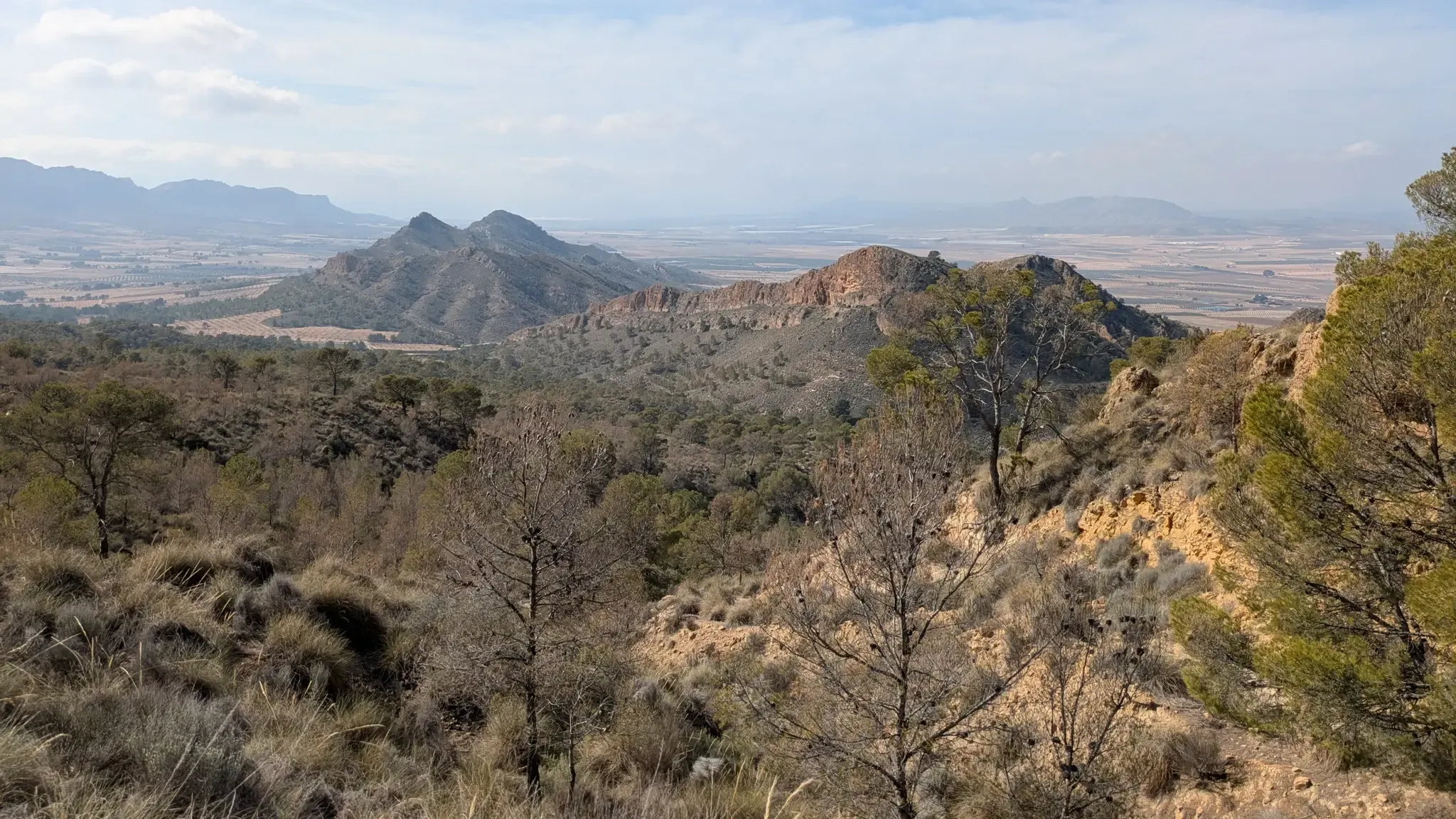
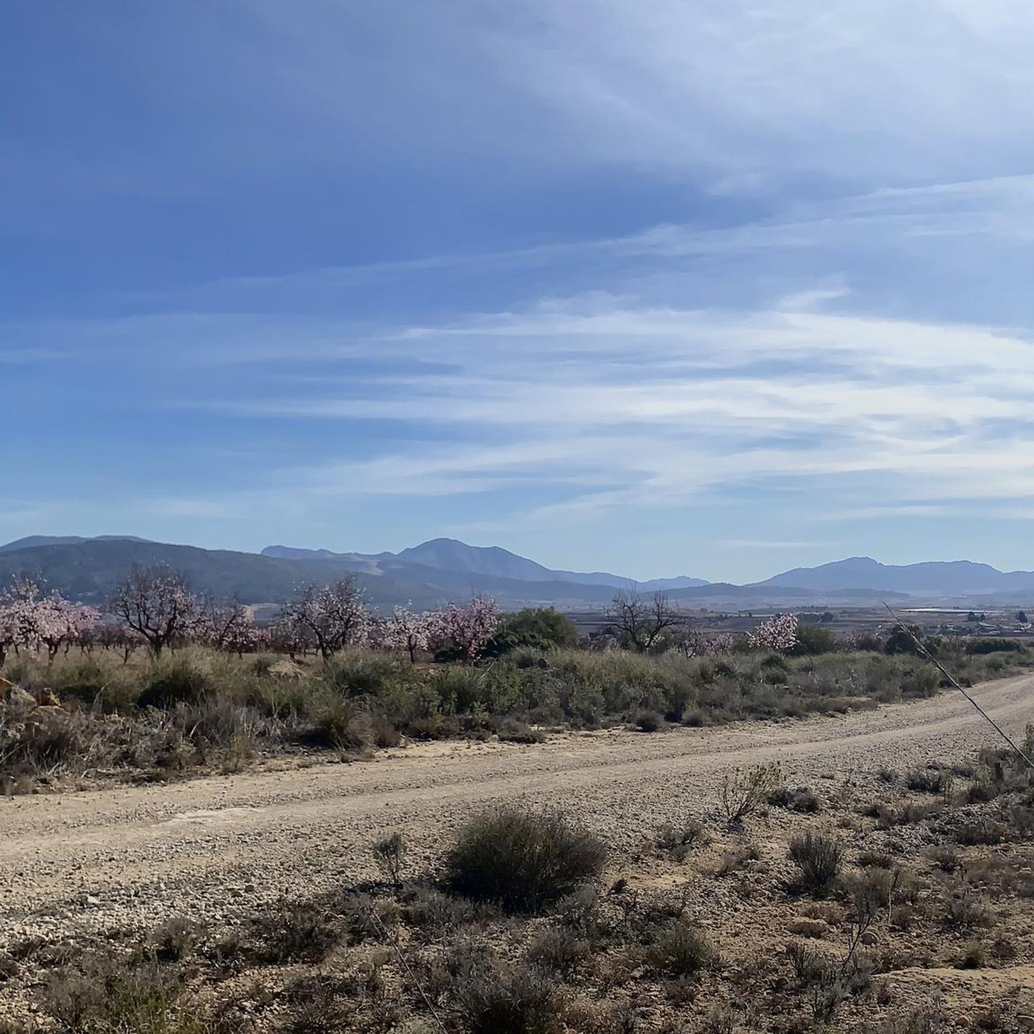
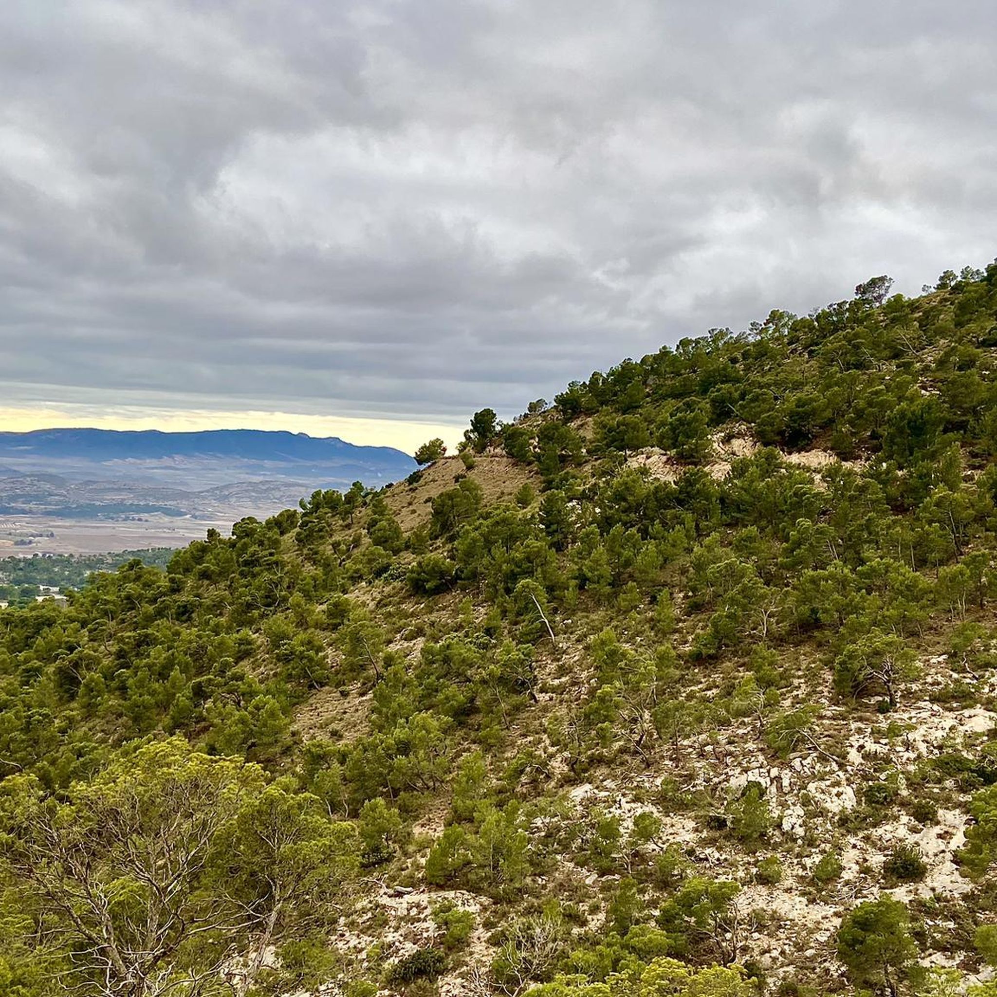
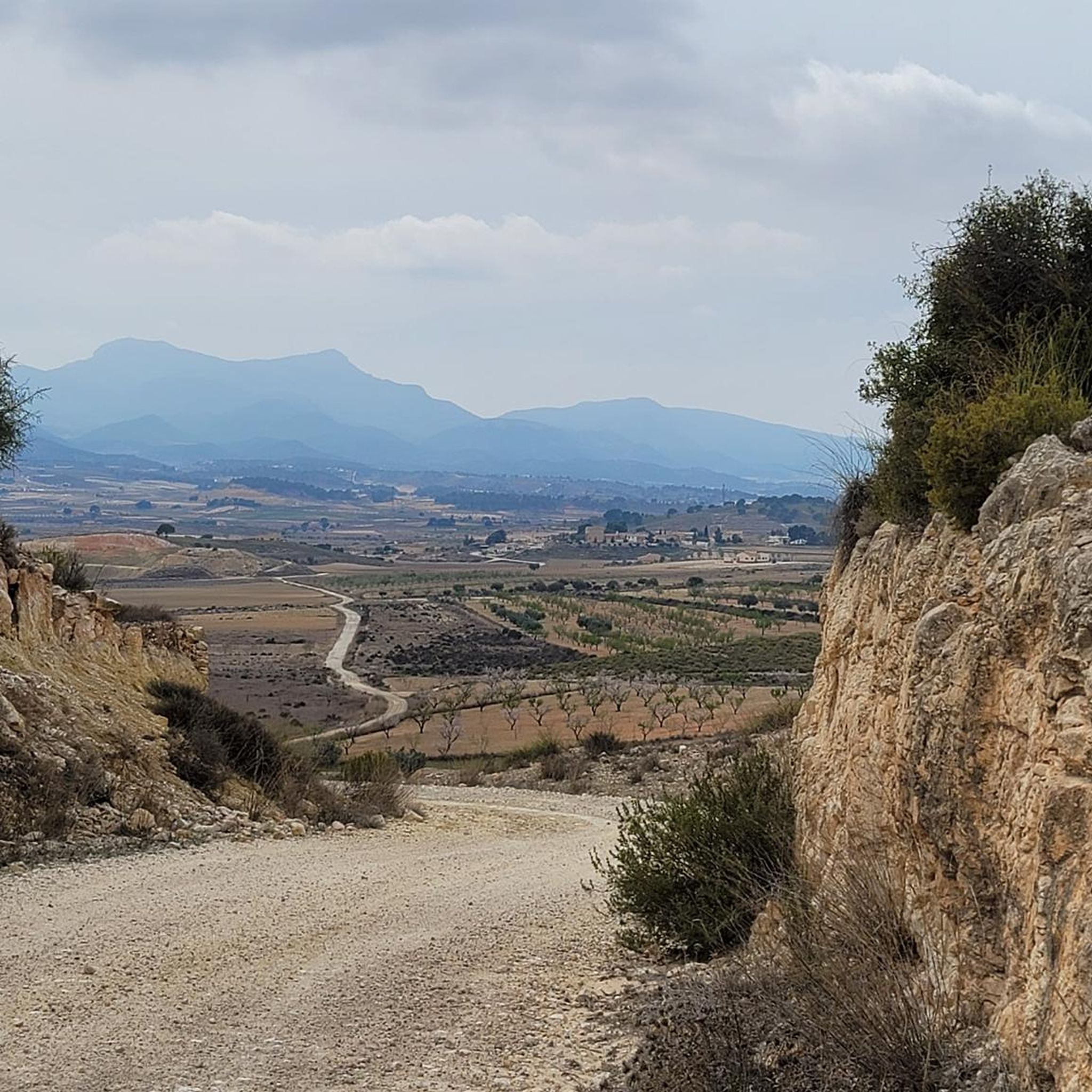
Hiking around Jumilla offers diverse landscapes, characterized by several mountain ranges such as Sierra del Carche, Sierra Larga, and Sierra de Santa Ana. The region features varied terrain, from accessible paths to more challenging routes, encompassing geological formations like saline diapirs and deep ravines. Mediterranean flora, including Aleppo and maritime pines, is common throughout the area. These natural features provide a rich environment for outdoor activities.
Best hiking trails around Jumilla
- The most popular hiking route is Tour of the…
Last updated: June 29, 2026
4.0
(1)
4
hikers
17.3km
05:56
700m
700m
Hard hike. Very good fitness required. Mostly accessible paths. Sure-footedness required.
4.7
(3)
41
hikers
13.2km
05:04
710m
710m
Hard hike. Very good fitness required. Mostly accessible paths. Sure-footedness required.

Sign up for free
4.5
(4)
24
hikers
Moderate hike. Good fitness required. Easily-accessible paths. Suitable for all skill levels.
4.0
(12)
18
hikers
Moderate hike. Good fitness required. Mostly accessible paths. Sure-footedness required.
4.3
(3)
18
hikers
12.4km
03:30
250m
250m
Moderate hike. Good fitness required. Easily-accessible paths. Suitable for all skill levels.
Get access to more routes and recommendations from other explorers.
Sign up for free
Already have an account?
Our route recommendations are based on thousands of hikes, rides, and runs completed by other people on komoot.
Start today with a free account
Your next adventure awaits.
Login or Signup
Popular around Jumilla
Path of the Cross of the Altiplano – GR 251
Castles, plains and charming villages – Murcia on foot (GR 7)
A ride through the "Huerta de Europa" – Transmurciana on MTB
Road Cycling Routes around Jumilla
MTB Trails around Jumilla
Cycling around Jumilla
Running Trails around Jumilla

Gravel biking around Jumilla
Other adventures around Jumilla


Tips from the Community

The Sierra del Carche is a limestone massif within the Prebetic System, featuring formations such as faults, thrust faults, and a salt diapir at Cabezo de la Rosa. This geology explains the presence of stone suitable for cutting and extraction in nearby areas, although its status as a Regional Park since 2003 prohibits extractive activities within its boundaries.
3
0
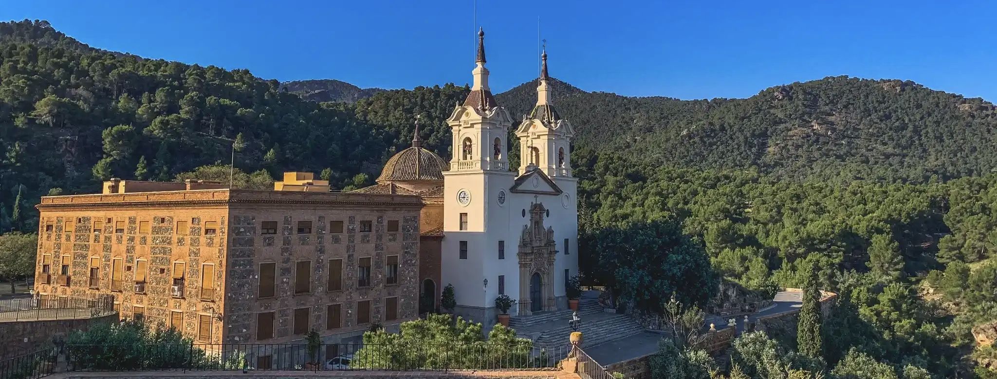
It is located south of the city of Jumilla, in the heart of the Sierra de Santa Ana mountain range, surrounded by a privileged natural environment with panoramic views over the Altiplano plateau. The access road winds through pine forests and hills that have historically created a landscape of tranquility and peace.
3
0
The Monastery of Santa Ana del Monte, also known as the Franciscan Convent of Santa Ana, is one of Jumilla's most emblematic monuments and a spiritual, cultural, and natural landmark of the Murcian Altiplano. The first place of worship in this area dates back to around 1450, next to an ancient spring. The current monastery was built in the 16th century by Discalced Franciscan friars and consecrated in 1573.
3
0

Pico de la Madama is the highest peak in the Sierra del Carche mountain range in southeastern Spain, near the towns of Jumilla and Yecla in the Murcia region. The mountain reaches an altitude of approximately 1,371 meters and lies within the protected Sierra del Carche Regional Park. The summit is a popular destination for hikers and mountain bikers. Several forest roads and trails lead to the top. Near the summit, there is a viewpoint, a small bivouac shelter, and even a launch site for paragliders and hang gliders. From the top, there are sweeping views across the arid landscape of the Murcia region.
0
1

This hermitage stands high on the mountain, surrounded by a dense pine forest. If you have time, this remote spot is worth a stop.
1
0

Restored snow well, located at the foot of the Madama. A must visit due to the curiosity of the snow industry in past centuries.
1
0

From La Madama del Carche and the Refugio, there are magnificent views of all the surrounding mountains like El Buey, La Pila etc
2
0
this is a natural fault line and care must be taken. it is fenced off for safety reasons and is indicated as to be 45m deep.
3
0
Frequently Asked Questions
How many hiking trails are available around Jumilla?
There are over 30 hiking routes in the Jumilla region, catering to various skill levels. You'll find approximately 10 easy trails, 16 moderate options, and 4 more challenging routes for experienced hikers.
What are the best times of year to go hiking in Jumilla?
Jumilla offers pleasant hiking conditions during the cooler months, particularly from autumn through spring. Summers can be very hot, so if you plan to hike then, it's best to start early in the morning to avoid the midday heat. Spring brings blooming flora, while autumn offers comfortable temperatures and beautiful landscapes.
Are there any family-friendly hiking options in Jumilla?
Yes, Jumilla has several easy trails suitable for families. These routes often feature gentle terrain and shorter distances, allowing everyone to enjoy the natural beauty. Look for trails marked as 'easy' in the komoot guide for suitable options.
Can I find circular hiking routes in Jumilla?
Many of the trails around Jumilla are designed as circular routes, allowing you to start and end at the same point without retracing your steps. An example is the Ermita de Santa Ana – View of Sierra de la Pila loop from Urbanización El Roalico, which offers a moderate 11.4 km walk.
What kind of natural features can I expect to see on hikes in Jumilla?
Jumilla's landscape is diverse, featuring several mountain ranges like Sierra del Carche and Sierra de Santa Ana. You can expect to see unique geological formations such as saline diapirs, deep ravines, and Mediterranean flora including Aleppo and maritime pines. During periods of heavy rainfall, you might even spot waterfalls at places like El Saltador in the Sierra del Carche Regional Park.
Are there any historical sites or landmarks to explore while hiking?
Absolutely. The region is rich in history. You can hike to the Ermita de Santa Ana or the Monasterio de Santa Ana, both offering historical significance. The Sierra de la Cingla also features prehistoric rock art, and the iconic Jumilla Castle provides panoramic views of the region.
Are there any caves or unique geological formations to visit?
Yes, Jumilla is home to several interesting caves and geological features. You can explore highlights such as the Horadada Cave of Monte Arabí, Jaime el Barbudo Cave, and the Morra de la Mina Sinkhole. These offer a glimpse into the region's unique geology.
What do other hikers say about the trails in Jumilla?
The hiking routes in Jumilla are highly regarded by the komoot community, holding an average rating of 4.5 stars. Hikers often praise the varied terrain, the stunning views from the mountain ranges, and the opportunity to explore both natural beauty and historical sites.
Are there any challenging routes for experienced hikers?
Yes, for those seeking a challenge, Jumilla offers several difficult routes. The Tour of the Carche Mountain Range Regional Park is a demanding 17.3 km trail that explores diverse landscapes and geological features. Another difficult option is the Hiking loop from Jumsal S.A., which covers 13.2 km with significant ascents and descents.
Are there any trails that offer viewpoints or panoramic vistas?
Many trails in Jumilla provide excellent viewpoints, especially those traversing the mountain ranges. The Ermita de Santa Ana – View of Sierra de la Pila loop, for instance, offers scenic vistas of the Sierra de la Pila area. The Jumilla Castle also provides panoramic views of the entire region.
What kind of flora and fauna can I observe while hiking in Jumilla?
The region's Mediterranean climate supports diverse flora, including extensive Aleppo and maritime pine forests, especially within the Sierra del Carche Regional Park. While hiking, you might also encounter various bird species and other local wildlife typical of the Mediterranean scrubland and mountain environments.
Most popular attractions around Jumilla

Get inspired with the komoot mobile app


Explore more
Browse the best Hikes in other regions.
