The best walks and hikes around Castrillo De Don Juan
5.0
(1)
16
hikers
9
hikes
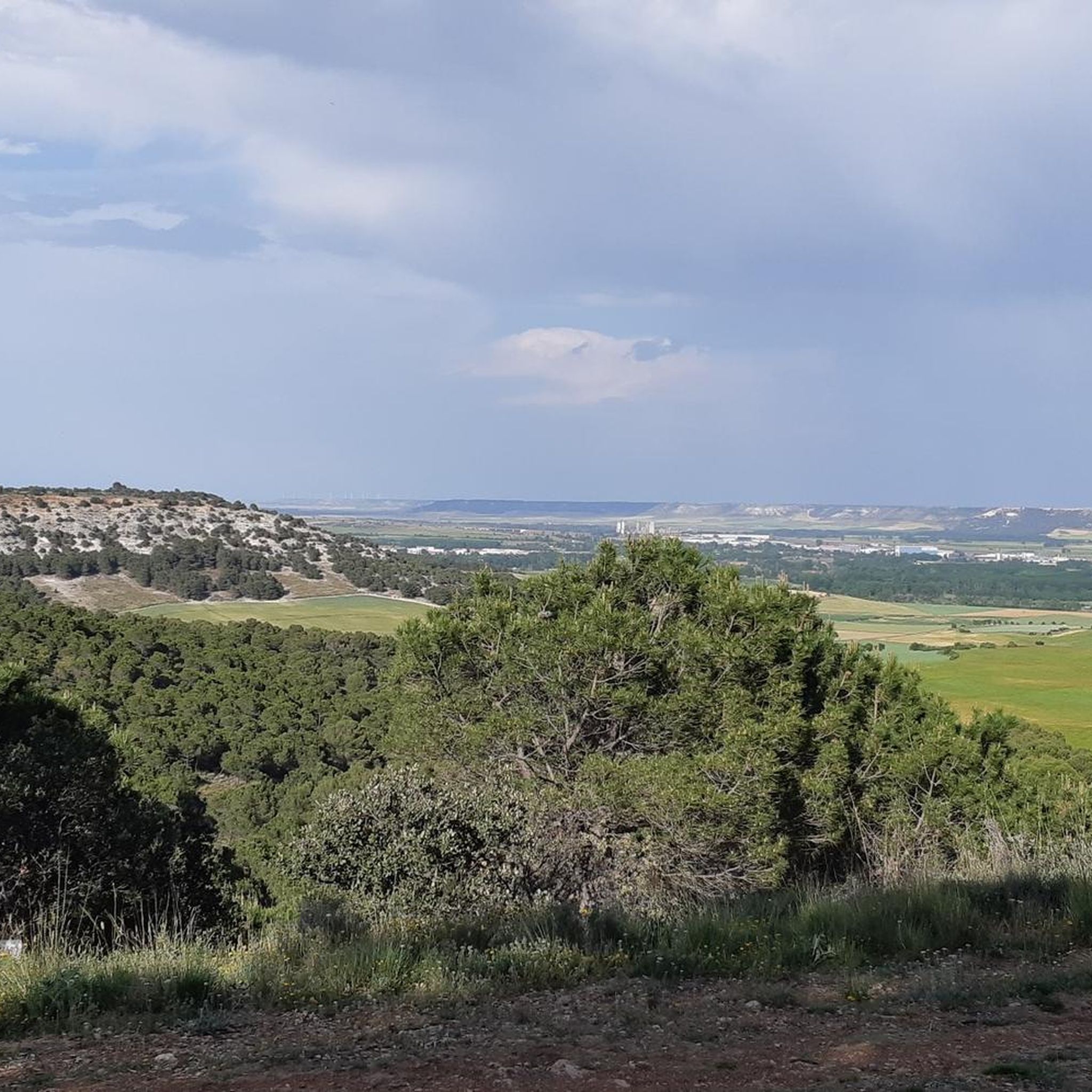
Hiking around Castrillo De Don Juan offers routes through rolling hills and river valleys in the Cerrato Palentino region. The landscape is characterized by the tranquil surroundings of reservoirs like the Embalse de Encinas de Esgueva and the Tórtoles de Esgueva Reservoir. Trails also traverse agricultural areas, including vineyards and cereal fields, providing a view of the local environment. The region features natural forest expanses with Spanish juniper, holm oaks, and oaks.
Best hiking trails around Castrillo De Don Juan
…Last updated: June 28, 2026
5
hikers
8.80km
02:21
90m
100m
Moderate hike. Good fitness required. Easily-accessible paths. Suitable for all skill levels.
1
hikers
6.94km
01:49
50m
50m
Easy hike. Great for any fitness level. Easily-accessible paths. Suitable for all skill levels.

Sign up for free
5.0
(1)
1
hikers
Moderate hike. Good fitness required. Easily-accessible paths. Suitable for all skill levels.
1
hikers
8.74km
02:25
150m
150m
Moderate hike. Good fitness required. Easily-accessible paths. Suitable for all skill levels.
11.2km
02:57
100m
100m
Moderate hike. Good fitness required. Easily-accessible paths. Suitable for all skill levels.
Get access to more routes and recommendations from other explorers.
Sign up for free
Already have an account?
Our route recommendations are based on thousands of hikes, rides, and runs completed by other people on komoot.
Start today with a free account
Your next adventure awaits.
Login or Signup
Popular around Castrillo De Don Juan

Tips from the Community

beautiful riverside town
0
0

Located in the southwest of the province of Burgos (Castilla y León), specifically in the Valle del Esgueva (subregion of Ribera del Duero).
0
0
A town that is said to have been populated in large quantities with holm oaks in other times, and that I now live on the path of Esgueva. This valley begins its journey here through the province of Valladolid along 55 kilometers to the capital.
1
0
The Encinas de Esgueva dam is an irrigation engineering work built in the course of the Arroyo de la Dehesa, also called Eras, which flows into the Esgueva river.
1
0
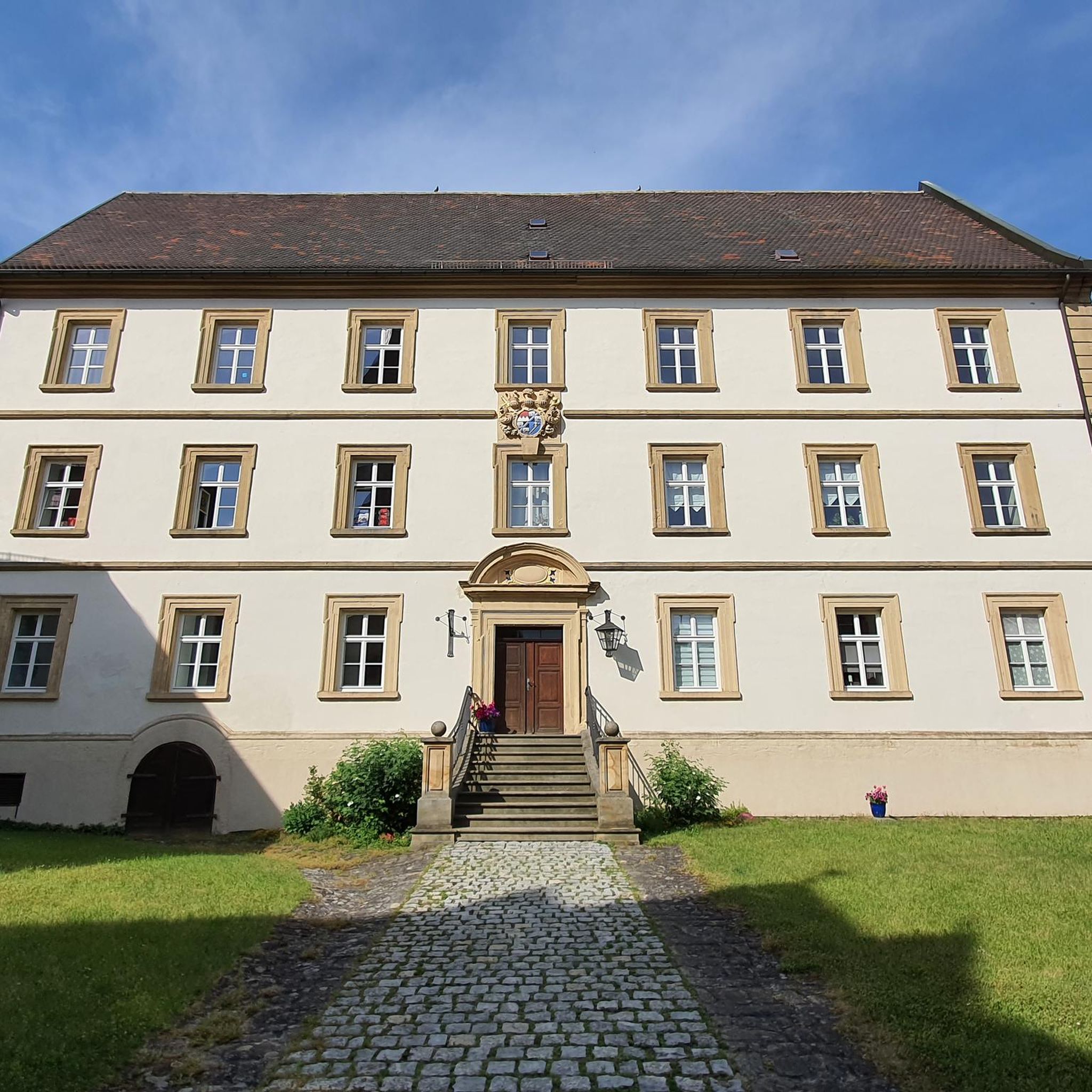
Beautiful riverside town in the province of Burgos, full of monuments and places of cultural interest born around what was the Monastery of Santa María la Real since the dawn of the 12th century.
1
0
This Villovela church preserves almost in its entirety the old Romanesque building and the new late-Gothic factory facing south.
1
0
The Tórtoles de Esgueva reservoir is located in the place called "El Vallejo". This reservoir is surrounded by various vine and cereal crops, it has a long route through the Cerrato páramo and along the banks of the Esgueva river
1
0
Frequently Asked Questions
What kind of landscapes can I expect to see while hiking around Castrillo De Don Juan?
The region offers a diverse landscape characterized by rolling hills and tranquil river valleys, particularly along the Esgueva River. You'll encounter serene reservoirs like the Embalse de Encinas de Esgueva, picturesque agricultural areas with vineyards and cereal fields, and natural forest expanses featuring Spanish juniper and holm oaks.
Are there hiking routes suitable for beginners or those looking for an easy walk?
Yes, there are several easy options. For instance, the route around Embalse de Encinas de Esgueva is an easy 4.3 miles (6.9 km) path, perfect for a relaxed stroll along the reservoir's edge. Overall, 4 out of the 8 available routes are rated as easy.
What are the typical elevation changes on trails in this area?
The trails around Castrillo De Don Juan generally feature moderate elevation changes, reflecting the rolling hills of the region. For example, the Encinas Reservoir Loop has an elevation gain of about 95 meters, while the longer Part of the Mulberry and Valleys Trail involves around 207 meters of ascent.
Are there any circular hiking routes available?
Yes, many routes in the area are circular, allowing you to start and end at the same point. A popular option is the Encinas Reservoir Loop, an 8.8 km moderate circular trail. Another is the Part of the Mulberry and Valleys Trail - circular from Villovela de Esgueva, which is 13 km long.
What points of interest or attractions can I find near the hiking trails?
While hiking, you can explore several interesting spots. The area features the tranquil Embalse de Encinas de Esgueva and the Tórtoles de Esgueva Reservoir. You might also encounter historical sites like the Castle of the Zúñiga Family in Encinas de Esgueva, or charming settlements such as Tórtoles de Esgueva and Antigüedad.
What do other hikers say about the trails in Castrillo De Don Juan?
The trails in Castrillo De Don Juan are highly regarded by the komoot community, with an average rating of 5.0 stars. Hikers often praise the varied terrain, from serene reservoir paths to scenic agricultural landscapes and natural forests, offering a peaceful outdoor experience.
Are there any longer or more challenging hikes for experienced hikers?
While there are no 'difficult' rated trails, several moderate routes offer a good challenge. The Part of the Mulberry and Valleys Trail - circular from Villovela de Esgueva is 13 km long, taking over 3.5 hours to complete, and features more significant elevation changes. Another moderate option is Landscapes of Castilla — circular from Boada de Roa, which is over 11 km.
Is Castrillo De Don Juan a good destination for family-friendly hikes?
Yes, the region offers several routes suitable for families. The easier trails, particularly those around the reservoirs like Embalse de Encinas de Esgueva, are generally flat and accessible, making them ideal for walks with children. The varied scenery also keeps younger hikers engaged.
What is the best time of year to go hiking in Castrillo De Don Juan?
While specific seasonal recommendations aren't provided, the rolling hills and reservoir areas are generally pleasant for hiking during spring and autumn, when temperatures are mild. Summer can be warm, but early mornings or late afternoons offer comfortable conditions. Winter hiking is possible, but check local weather conditions.
Where can I find parking for the hiking trails?
Parking is typically available near the starting points of trails, especially in the villages or at designated recreational areas around the reservoirs. It's advisable to check specific route details or local signage upon arrival for the most convenient parking spots.
Are there any routes that explore the winemaking tradition of the area?
Many trails traverse the agricultural landscapes, including vineyards, particularly those on the border of the Ribera del Duero designation of origin. While no specific 'wine route' is listed, you'll get a glimpse of this tradition on routes that pass through these cultivated areas, such as the Part of the Mulberry and Valleys Trail.
Can I reach the hiking areas by public transport?
Public transport options to Castrillo De Don Juan and its immediate hiking trailheads are generally limited. It is recommended to travel by car to access the starting points of most routes, especially those exploring the more rural reservoir and forest areas.
Most popular routes around Castrillo De Don Juan
Most popular attractions around Castrillo De Don Juan

Get inspired with the komoot mobile app


Explore more
Browse the best Hikes in other regions.
