The best road cycling routes around La Nava De Santiago
4.0
(1)
137
riders
7
rides
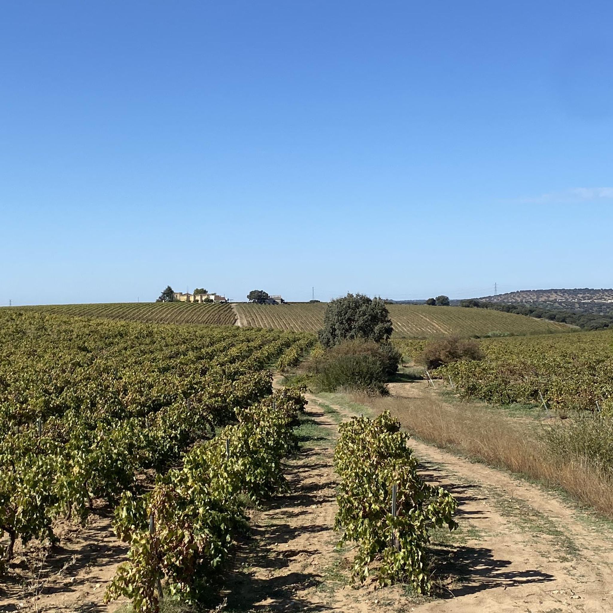
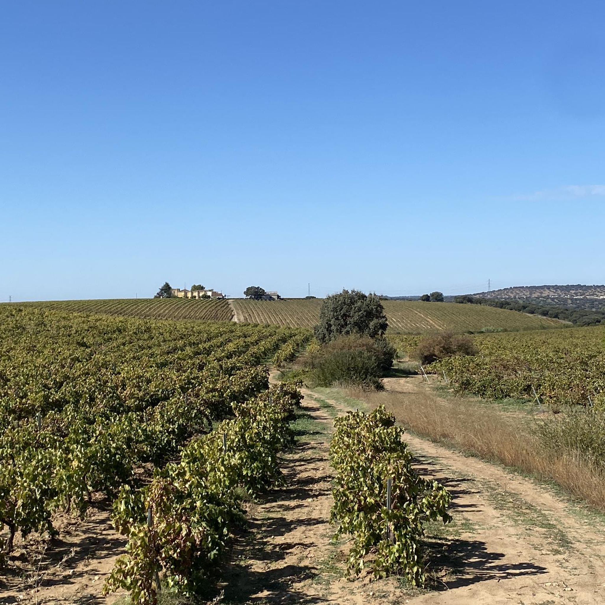
Road cycling around La Nava De Santiago, located in Spain's Extremadura region, offers varied terrain characterized by its "plain between mountains" topography. This includes both flatter plains and surrounding elevated areas, providing opportunities for diverse routes. The landscape features traditional "dehesa" wooded pastures with holm oaks and cork oaks, alongside Mediterranean forests. This natural undulation allows for routes tailored to different fitness levels.
Best road cycling routes around La Nava De Santiago
- The most popular road cycling route is Embalse…
Last updated: May 15, 2026
2
riders
Moderate road ride. Good fitness required. Some segments of this route may be unpaved and difficult to ride.
60
riders
Moderate road ride. Good fitness required. Mostly well-paved surfaces and easy to ride.

Sign up for free
24
riders
104km
04:24
630m
630m
Moderate road ride. Good fitness required. Mostly well-paved surfaces and easy to ride.
4.0
(1)
25
riders
93.8km
04:19
790m
790m
Moderate road ride. Good fitness required. Some segments of this route may be unpaved and difficult to ride.
17
riders
44.4km
01:47
240m
240m
Easy road ride. Great for any fitness level. Mostly well-paved surfaces and easy to ride.
Get access to more routes and recommendations from other explorers.
Sign up for free
Already have an account?
Our route recommendations are based on thousands of hikes, rides, and runs completed by other people on komoot.
Start today with a free account
Your next adventure awaits.
Login or Signup
Popular around La Nava De Santiago
Tips from the Community

The Puente Romano crosses the Guadiana river and, with its 64 granite arches and a length of 800m, is one of the most striking remains from this period.
13
0

For lovers of Roman culture and art, Mérida is the perfect city.
0
0

The Proserpina Dam or Reservoir is one of the oldest and best-preserved Roman hydraulic works in the world. It is located about 5 km north of Mérida, in Extremadura, and forms part of the Archaeological Ensemble of Mérida, declared a World Heritage Site by UNESCO in 1993. The name “Proserpina” was adopted in the 18th century, after the discovery of an inscription dedicated to the goddess Ataecina-Proserpina.
4
0
The Proserpina Dam or Reservoir is one of the oldest and best-preserved Roman hydraulic works in the world. It is located about 5 km north of Mérida, in Extremadura, and forms part of the Archaeological Ensemble of Mérida, declared a World Heritage Site by UNESCO in 1993.
3
0


From the Proserpina Reservoir viewpoint, you can enjoy a spectacular panoramic view of this ancient Roman reservoir: the stone wall stretches out in front of you, with its stepped buttresses and incredible views. On clear days, you can see the gentle undulations of the Sierra de Carija in the background.
0
0

Alto de la Cruz. 1.5km and 60m of gradient to exit via the bike lane (or road) from Proserpina towards Mérida.
0
1
Proserpina Roman Dam. Beautiful views of the reservoir.
0
0
Frequently Asked Questions
What kind of terrain can I expect when road cycling around La Nava De Santiago?
La Nava De Santiago offers a diverse road cycling experience due to its unique "plain between mountains" topography. You'll find a mix of flatter plains, ideal for steady rides, and surrounding elevated areas that provide opportunities for climbs and descents. The routes often traverse traditional "dehesa" landscapes with holm and cork oaks, as well as Mediterranean forests, providing varied scenery.
Are there road cycling routes suitable for beginners in La Nava De Santiago?
Yes, there are routes suitable for beginners. For instance, the La Nava – Church of Saint Peter the Apostle loop from Montijo is an easy 27.5-mile (44.3 km) trail that leads through rural landscapes, perfect for those looking for a less challenging ride.
What are some scenic highlights or landmarks I can see along the road cycling routes?
Road cycling routes in the area offer views of significant landmarks and natural features. You can cycle past the historic Acueducto de los Milagros, as seen on routes like the Acueducto de los Milagros – Road through fields loop from Garrovilla-Las Vegas. The region is also characterized by its beautiful "dehesa" landscapes and Mediterranean forests, providing a rich visual experience.
How many road cycling routes are available in La Nava De Santiago?
There are 7 road cycling routes documented in this guide for La Nava De Santiago, catering to various skill levels from easy to difficult.
What is the best time of year to go road cycling in La Nava De Santiago?
Given its location in Spain's Extremadura region, the best times for road cycling are typically spring (March to May) and autumn (September to November). During these seasons, the weather is generally mild and pleasant, avoiding the intense heat of summer and the cooler, potentially wetter conditions of winter. This allows for comfortable exploration of the "dehesa" and plains.
Are there any circular road cycling routes in the area?
Yes, many of the routes around La Nava De Santiago are designed as loops, allowing you to start and finish at the same point. Examples include the Acueducto de los Milagros – Road through fields loop from Garrovilla-Las Vegas and the La Nava – Church of Saint Peter the Apostle loop from Montijo.
What is the typical elevation gain on road cycling routes in La Nava De Santiago?
The elevation gain varies depending on the route, reflecting the region's "plain between mountains" topography. While some routes feature gentle ascents, others can be more challenging. For example, the Embalse de Horno Tejero — return trip through the Tierra de Mérida County from Montijo - Vegas Bajas has an elevation gain of over 500 meters, while easier loops will have less.
Can I find cafes or places to stop for refreshments along the road cycling routes?
While specific cafes directly on every route are not detailed, the routes often pass through or near towns and villages like Montijo and Garrovilla-Las Vegas. These settlements typically offer opportunities for refreshments, allowing cyclists to refuel and rest during their rides.
Is La Nava De Santiago suitable for advanced road cyclists looking for a challenge?
Yes, advanced cyclists can find challenging routes. While the region features plains, the surrounding elevated areas provide opportunities for longer distances and greater elevation gains. Routes like the Los Milagros Aqueduct – Acueducto de los Milagros loop from Mérida, with its significant elevation, offer a good test for experienced riders.
What do other road cyclists enjoy most about cycling in La Nava De Santiago?
Road cyclists frequently praise the varied terrain, which combines open plains with rolling hills and the unique "dehesa" landscapes. The serene environment and the opportunity to explore historical landmarks like the Acueducto de los Milagros are also highly valued by the komoot community.
Are there options for parking when starting a road cycling route in La Nava De Santiago?
While specific parking facilities are not detailed for every starting point, routes often begin in or near towns such as Montijo or Garrovilla-Las Vegas. In these areas, you can typically find public parking options suitable for cyclists. It's advisable to check local parking regulations upon arrival.
What are the road conditions like for cycling in the region?
The broader province of Badajoz, where La Nava De Santiago is located, offers cycling routes that include both well-paved surfaces and some unpaved segments. While the focus here is on road cycling, it's good to be aware that some rural roads might have varying surface quality. Generally, the main routes are suitable for road bikes.
Most popular routes around La Nava De Santiago

Get inspired with the komoot mobile app


Explore more
Browse the best Road cycling routes in other regions.
