The best cycling routes around Boniches
23
riders
6
rides
Touring cycling routes around Boniches traverse the diverse landscapes of Spain's Serranía de Cuenca, characterized by extensive forests and varied terrain. The region features unique geological formations and picturesque water elements, offering a scenic backdrop for rides. Cyclists can expect a mix of paved and unpaved surfaces, with routes often including significant elevation changes.
Best touring cycling routes around Boniches
- The most popular touring cycling route is Old Town of Moya – Dirt road to Moya loop from El Cubillo…
Last updated: August 21, 2026
8
riders
57.5km
03:42
710m
720m
Hard bike ride. Very good fitness required. Mostly paved surfaces. Suitable for all skill levels.
3
riders
37.4km
03:12
450m
450m
Hard bike ride. Good fitness required. You may need to push your bike for some segments of this route.

Sign up for free
3
riders
35.3km
02:57
600m
600m
Hard bike ride. Very good fitness required. Mostly paved surfaces. Suitable for all skill levels.
3
riders
38.8km
03:56
750m
750m
Hard bike ride. Very good fitness required. Mostly paved surfaces. Suitable for all skill levels.
2
riders
38.5km
03:01
500m
500m
Hard bike ride. Very good fitness required. Mostly paved surfaces. Suitable for all skill levels.
Our route recommendations are based on thousands of hikes, rides, and runs completed by other people on komoot.
Start today with a free account
Your next adventure awaits.
Login or Signup

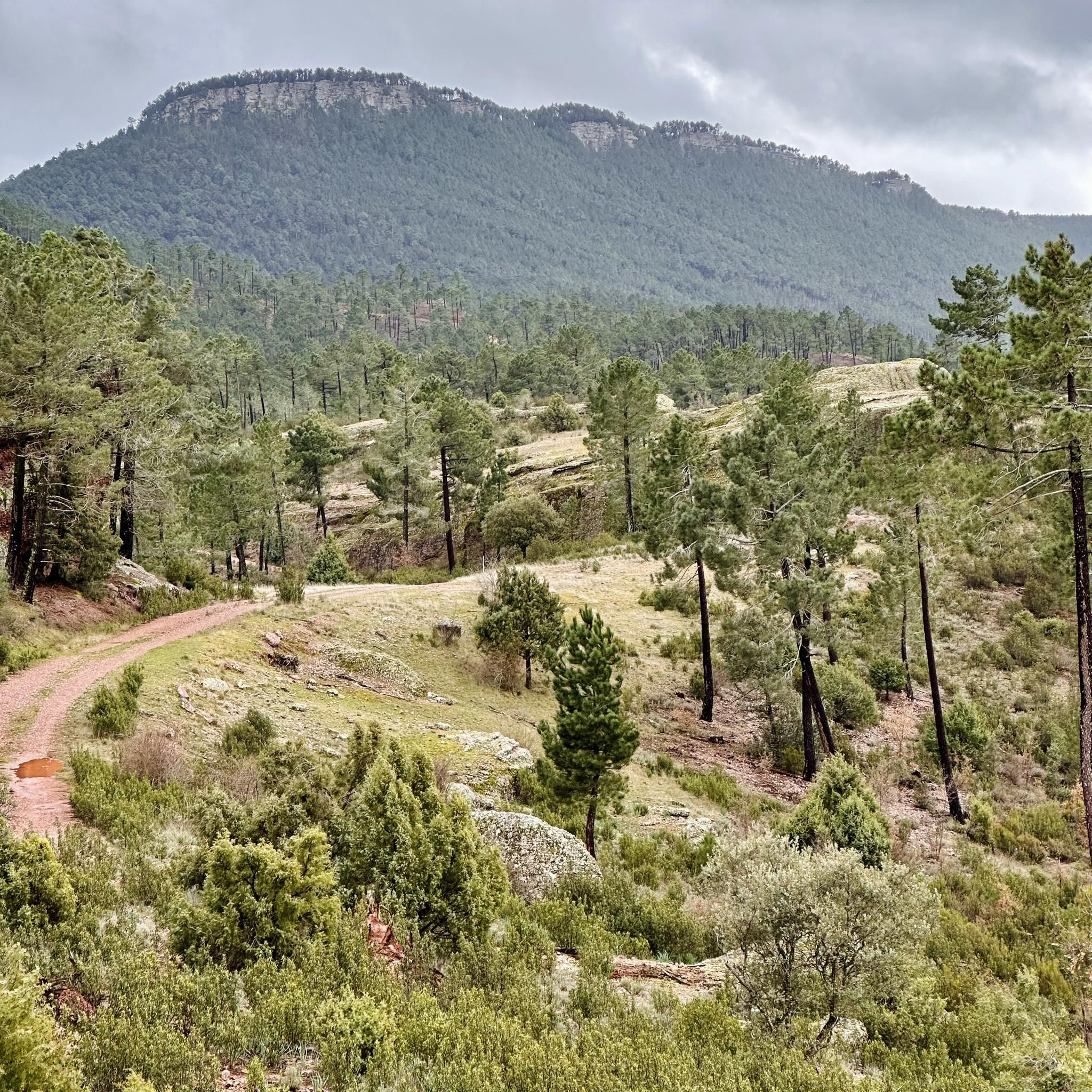

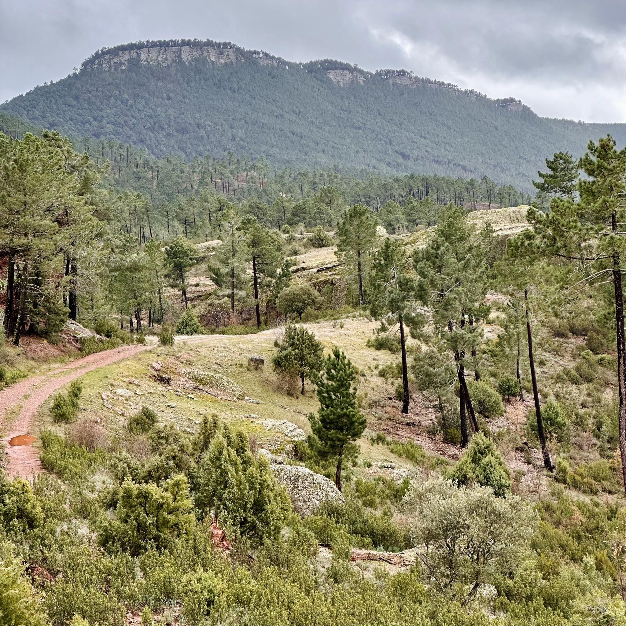
Tips from the Community

Worthwhile detour through this picturesque gorge. The fully packed touring bike just barely fit (see photo), short pushing sections. Respect for the amount of work that went into these wooden walkways!
0
0

The route descends from the CU-V-5003 road to the Algarra River, offering glimpses of it from within the valley. Along paths parallel to the river, you'll see orchards, tree plantations, and riverside land, some of which is also visible from the access roads and sides of the CU-V-5003.
2
0
The Vencherque River River Walk is a charming route located in Villar del Humo, in the province of Cuenca. It is a flat and easy route, suitable for all ages. Enjoy a quiet walk along the river, surrounded by diverse vegetation such as walnut trees, cattails and poplars.
6
0

The ruins of the ancient Villa de Moya are one of the main archaeological sites of the Middle Ages. They date back to the 13th century and were declared a historical-artistic monument in 1982.
2
0

Municipality that is mainly dominated by its castle that is located at the top of the hill that accompanies the mountain. The wall starts at the foot of the town and climbs up the mountain making the turn!
0
0
As you pass through the center of Villar del Humo, you will find the entrance to Río Vencherque, where you will find the entrance to a small gorge that offers beautiful views of the river.
0
0

It is one of the main archaeological sites of the medieval era, the ruins of the old town of Moya are worth visiting and it is a nice tour for the whole family. It dates from the 13th century and in its heyday it was the seat of the former Marquesado de Moya who occupied a vast area of land in the area.
1
1
The town of Landete offers many services that make it the ideal place to start your route or take a break and have a delicious snack. The Plaza Mayor is very picturesque, the parish church and the town hall building stand out for their beauty and are usually the social center of the town.
1
1
Frequently Asked Questions
What kind of terrain can I expect on touring cycling routes around Boniches?
The touring cycling routes around Boniches traverse the diverse landscapes of Spain's Serranía de Cuenca. You can expect a mix of impressive forests, unique geological formations, and varied terrain, including both paved and unpaved segments. Routes often feature significant elevation changes, catering primarily to experienced cyclists.
Are there any challenging touring cycling routes in Boniches?
Yes, all touring cycling routes listed for Boniches are classified as difficult, offering significant elevation gain and challenging terrain. For example, the Old Town of Moya – Dirt road to Moya loop from El Cubillo covers 57.5 km with substantial ascents, and the Bar La Pulga – Roman Bridge of Zafrilla loop from Cañete is a 50 km route with over 800 meters of elevation gain.
What natural attractions can I see while cycling near Boniches?
The region is rich in natural beauty. Along your rides, you might encounter unique geological formations like Las Corbeteras and the Rock formations near Cañete. The area also features picturesque water elements, such as those found near the Vencherque Riverside Walk.
Are there any circular touring cycling routes available from Boniches?
Yes, several routes around Boniches are circular. Examples include the Cañete loop from Cañete, which explores the area around Cañete, and the Algarra loop from El Cubillo, leading through diverse regional terrain.
What is the best time of year to go touring cycling in Boniches?
While specific weather data isn't provided, the Serranía de Cuenca region generally offers pleasant cycling conditions during spring and autumn, when temperatures are milder. Summers can be hot, and winters may bring colder weather, so checking local forecasts before your trip is advisable.
What are some notable places or settlements to explore near the cycling routes?
Beyond the natural landscapes, you can explore charming settlements such as Cañete, which serves as a starting point for several routes. These towns often provide a glimpse into the local culture and history of the Serranía de Cuenca.
How many touring cycling routes are available around Boniches?
There are 4 touring cycling routes detailed around Boniches, all of which are classified as difficult, offering a challenging experience for cyclists.
What do other touring cyclists say about cycling in Boniches?
Over 17 touring cyclists have used komoot to explore Boniches' varied terrain. While specific ratings are not available, the routes are highly regarded for showcasing the best of the region's impressive forests, unique rock formations, and picturesque water features, appealing to those seeking challenging rides.
Are there any routes that follow rivers or offer water features?
Yes, the region is known for its water features. The Vencherque River Entrance loop from Villar del Humo is one such route that allows you to experience the tranquil beauty of the Vencherque River, complementing the broader network of routes that pass by various water elements.
What is the typical duration for these touring cycling routes?
The touring cycling routes around Boniches vary in length and duration. For instance, the Old Town of Moya – Dirt road to Moya loop from El Cubillo typically takes around 3 hours and 42 minutes to complete, while the Cañete loop from Cañete is usually completed in about 3 hours and 11 minutes.
Are there any specific trails or paths that are part of the touring cycling network?
Yes, the region incorporates various trails and paths into its cycling network. For example, the Ringorrangos Trail - Las Colechas is a notable trail that cyclists might encounter, offering diverse terrain and scenic views within the broader Serranía de Cuenca.
Most popular routes around Boniches
Most popular attractions around Boniches

Get inspired with the komoot mobile app


Explore more
Browse the best Cycling routes in other regions.
