The best walks and hikes around Prado De La Guzpeña
4.1
(15)
114
hikers
8
hikes
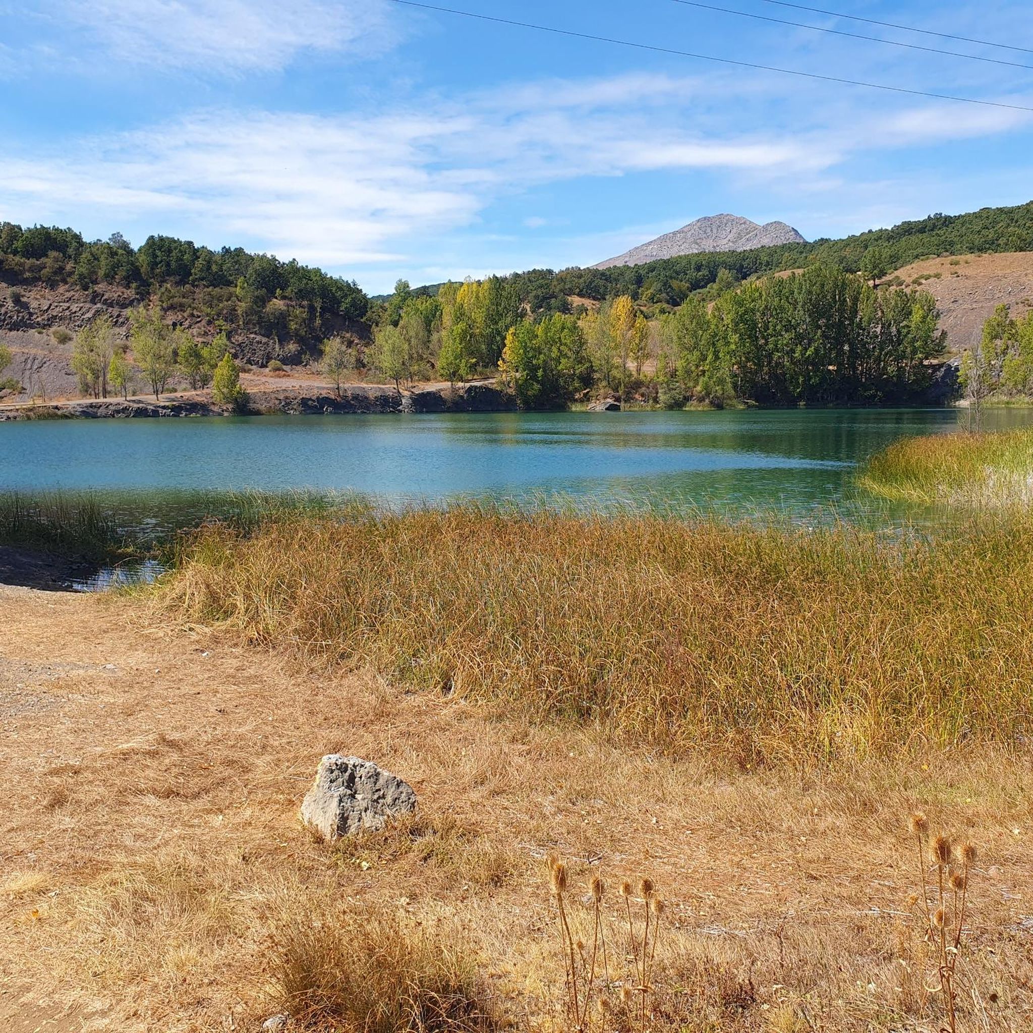
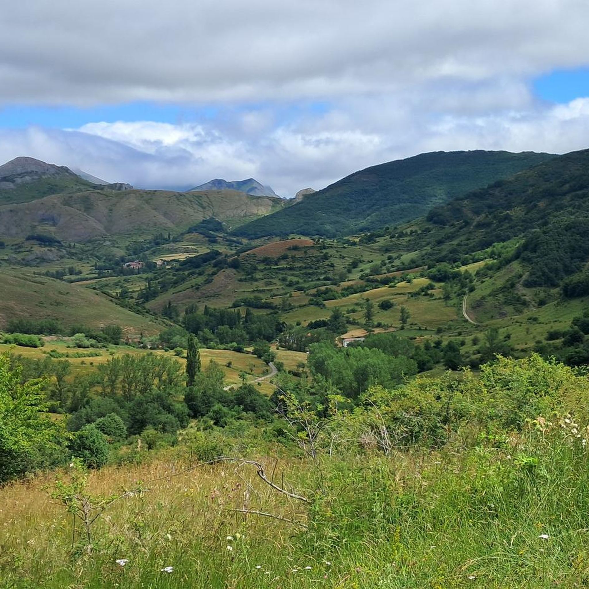
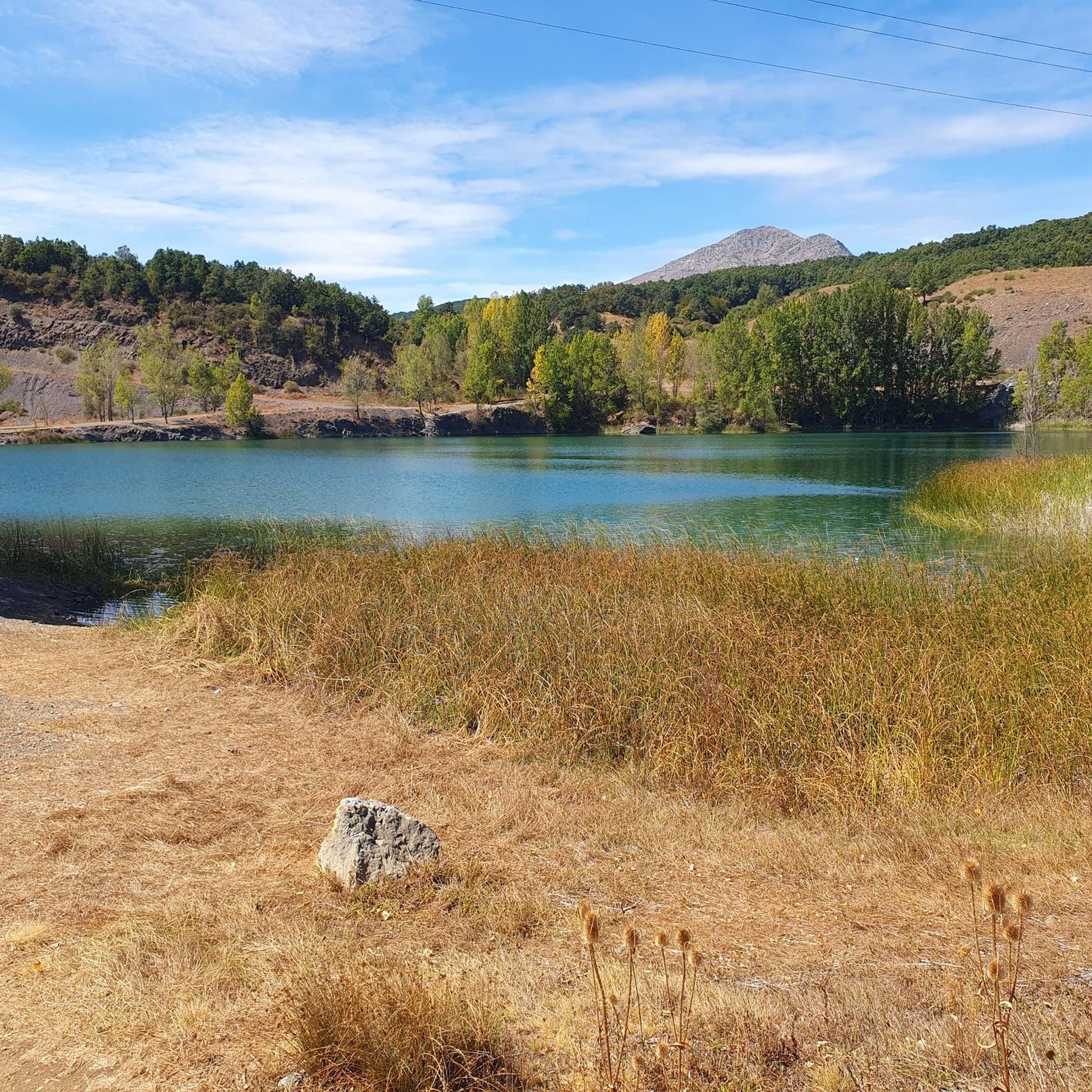
Hiking around Prado De La Guzpeña offers exploration through a landscape characterized by valleys, hills, and historical mining areas. The region features moderate elevation changes and diverse terrain, including paths that lead to panoramic viewpoints. Trails often traverse areas with a mix of natural features and remnants of past industrial activity.
Best hiking trails around Prado De La Guzpeña
- The most popular hiking route is Mines Trail, a 5.5 miles (8.9 km) trail that takes 2 hours 33 minutes…
Last updated: May 20, 2026
4.8
(6)
39
hikers
8.91km
02:33
200m
200m
Moderate hike. Good fitness required. Easily-accessible paths. Suitable for all skill levels.
5.0
(5)
24
hikers
6.23km
02:05
300m
300m
Moderate hike. Good fitness required. Easily-accessible paths. Suitable for all skill levels.

Sign up for free
2.0
(1)
16
hikers
11.7km
04:16
710m
700m
Moderate hike. Good fitness required. Easily-accessible paths. Suitable for all skill levels.
4.7
(3)
13
hikers
Moderate hike. Good fitness required. Easily-accessible paths. Suitable for all skill levels.
6
hikers
6.87km
02:05
240m
230m
Moderate hike. Good fitness required. Easily-accessible paths. Suitable for all skill levels.
Get access to more routes and recommendations from other explorers.
Sign up for free
Already have an account?
Our route recommendations are based on thousands of hikes, rides, and runs completed by other people on komoot.
Start today with a free account
Your next adventure awaits.
Login or Signup

Tips from the Community

This little detour is really worth it.
0
0

From the summit of Penacorada, you'll have to find your own way. The first section of the trail from the summit, marked on Komoot, isn't there. It's only for experienced hikers.
0
0


The views over the Sabero Valley are spectacular from this viewpoint.
1
0

Running along the route of the Mines we find this beautiful viewpoint. This is the Esla viewpoint, which offers wonderful views of Aleje and Alejico and the surrounding mountains.
1
1
In this section, we find ourselves running through a beautiful oak grove with magnificent views of the Peñacorada Massif.
1
0
Running along a wide forest track that belongs to the La Huella de las Legiones route, we find these beautiful views of the town of Fuentes de Peñacorada.
1
1
Located on Pico Los Rejos (1,292 m), we find the beautiful viewpoint of Los Rejos with exceptional views of the valley formed by the Esla river.
2
0
Frequently Asked Questions
How many hiking trails are available in Prado De La Guzpeña?
There are 8 hiking trails around Prado De La Guzpeña. These routes range from moderate to difficult, offering diverse experiences through the region's valleys, hills, and historical mining areas.
Are there any easy hiking trails suitable for beginners in Prado De La Guzpeña?
While there are no trails officially rated as 'easy', several moderate routes are suitable for those with a basic level of fitness. For instance, the Miradores de Aquilare – circular through the Sabero Valley is a moderate 3.9-mile (6.2 km) path that offers scenic views without extreme difficulty.
Can I find circular hiking routes in the area?
Yes, many of the trails in Prado De La Guzpeña are circular. Popular options include the Miradores de Aquilare – circular through the Sabero Valley, the challenging Peñacorada (1832 m) – circular from Fuentes de Peñacorada, and Pico Los Rejos, Cecilio viewpoint and Ermita de San Guillermo de Peñacorada – circular from Cistierna.
Are the hiking trails in Prado De La Guzpeña dog-friendly?
Most trails in the Prado De La Guzpeña region are generally dog-friendly, but it's always recommended to keep your dog on a leash, especially in areas with livestock or near roads. Be sure to carry enough water for both you and your pet, as water sources can be scarce on some routes.
What kind of views or landmarks can I expect to see on these hikes?
The region offers a mix of natural beauty and historical sites. You can expect panoramic views from elevated points, especially along routes like Pico Los Rejos. Historical mining areas are also a prominent feature, as seen on the Mines Trail. Notable landmarks include the Esla Viewpoint and the historical Mina Imponderable.
Are there any challenging hikes for experienced trekkers?
Yes, for experienced trekkers seeking a challenge, the region offers routes with significant elevation gain. The Peñacorada (1832 m) – circular from Fuentes de Peñacorada is a notable example, covering 7.3 miles (11.7 km) with substantial ascent, often taking over 4 hours to complete.
What is the best time of year to go hiking in Prado De La Guzpeña?
The best time to hike in Prado De La Guzpeña is typically during spring and autumn when the weather is mild and the landscapes are vibrant. Summer can be pleasant at higher elevations, but lower valley paths might be hot. Winter hiking is possible but requires appropriate gear for potentially cold and snowy conditions, especially in mountainous areas.
Are there any family-friendly hiking options in Prado De La Guzpeña?
While there are no trails specifically designated as 'easy' for very young children, families with older children or those used to moderate activity can enjoy shorter circular routes. The Miradores de Aquilare – circular through the Sabero Valley is a good option, offering engaging views over a manageable distance.
What do other hikers enjoy most about hiking in Prado De La Guzpeña?
The area is highly rated by the komoot community, with an average score of 4.1 stars from over 15 reviews. Hikers often praise the diverse terrain, from valley paths to elevated viewpoints, and the unique blend of natural beauty with historical mining landscapes. The well-maintained paths and clear signage are also frequently highlighted.
Are there any points of interest or attractions near the hiking trails?
Yes, beyond the trails themselves, you can explore several points of interest. These include historical structures like the Puente del Mercadillo and Puente de Almuhey, as well as the religious site of the Sanctuary of the Virgin of Velilla. The Esla Viewpoint offers stunning panoramic vistas.
Is parking available at the trailheads in Prado De La Guzpeña?
Parking availability varies by trailhead. Many routes, especially those starting from villages like Fuentes de Peñacorada or Cistierna, typically have designated parking areas nearby. It's advisable to check specific route details on komoot for information on parking facilities before you set out.
What should I wear for hiking in Prado De La Guzpeña during summer?
During summer, wear lightweight, breathable clothing suitable for hiking. Layers are always recommended, as temperatures can vary between valleys and higher elevations. A hat, sunglasses, and sunscreen are essential for sun protection. Sturdy hiking shoes are a must, and carrying plenty of water is crucial, especially on longer routes.
Most popular routes around Prado De La Guzpeña
Most popular attractions around Prado De La Guzpeña

Get inspired with the komoot mobile app


Explore more
Browse the best Hikes in other regions.
