The best walks and hikes around Cayuela
4.5
(86)
549
hikers
10
hikes
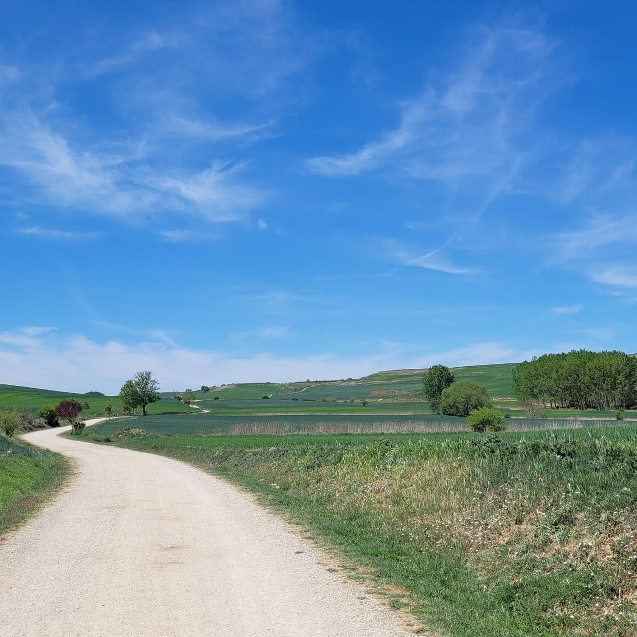
Hiking around Cayuela offers routes through a landscape characterized by open rural paths and gentle, rolling terrain. The region features historical routes, including sections of the Camino de Santiago, connecting small villages and agricultural areas. Elevation gains are generally modest, making many trails accessible for various fitness levels. The area provides opportunities to explore the local countryside and its cultural heritage on foot.
Best hiking trails around Cayuela
- The most popular hiking route is From Rabé de la Calzada along…
Last updated: August 27, 2026
4.0
(1)
2
hikers
Moderate hike. Good fitness required. Mostly accessible paths. Sure-footedness required.
3.0
(1)
1
hikers
Moderate hike. Great for any fitness level. Mostly accessible paths. Sure-footedness required.

Sign up for free
4.5
(10)
41
hikers
18.4km
04:57
220m
220m
Moderate hike. Good fitness required. Easily-accessible paths. Suitable for all skill levels.
4
hikers
10.1km
02:40
100m
100m
Moderate hike. Good fitness required. Easily-accessible paths. Suitable for all skill levels.
5.0
(1)
7
hikers
28.1km
07:27
280m
280m
Hard hike. Very good fitness required. Easily-accessible paths. Suitable for all skill levels.
Get access to more routes and recommendations from other explorers.
Sign up for free
Already have an account?
Our route recommendations are based on thousands of hikes, rides, and runs completed by other people on komoot.
Start today with a free account
Your next adventure awaits.
Login or Signup
Tips from the Community

Meeting place that combines history, modernity, and everyday life.
0
0
Declared a UNESCO World Heritage Site. The design of the main facade relates to the French classical Gothic of the great cathedrals.
0
0

The chapel is very beautiful, the sisters unfortunately partly intrusive. You are touched without asking. A Catholic nun should actually know that only a priest has the authority to bless by laying on hands (except one's own parents) and even if she doesn't know that, there's still the normal human decency of asking strangers if they want to be touched.
0
0

Spectacular area for hiking routes
0
1

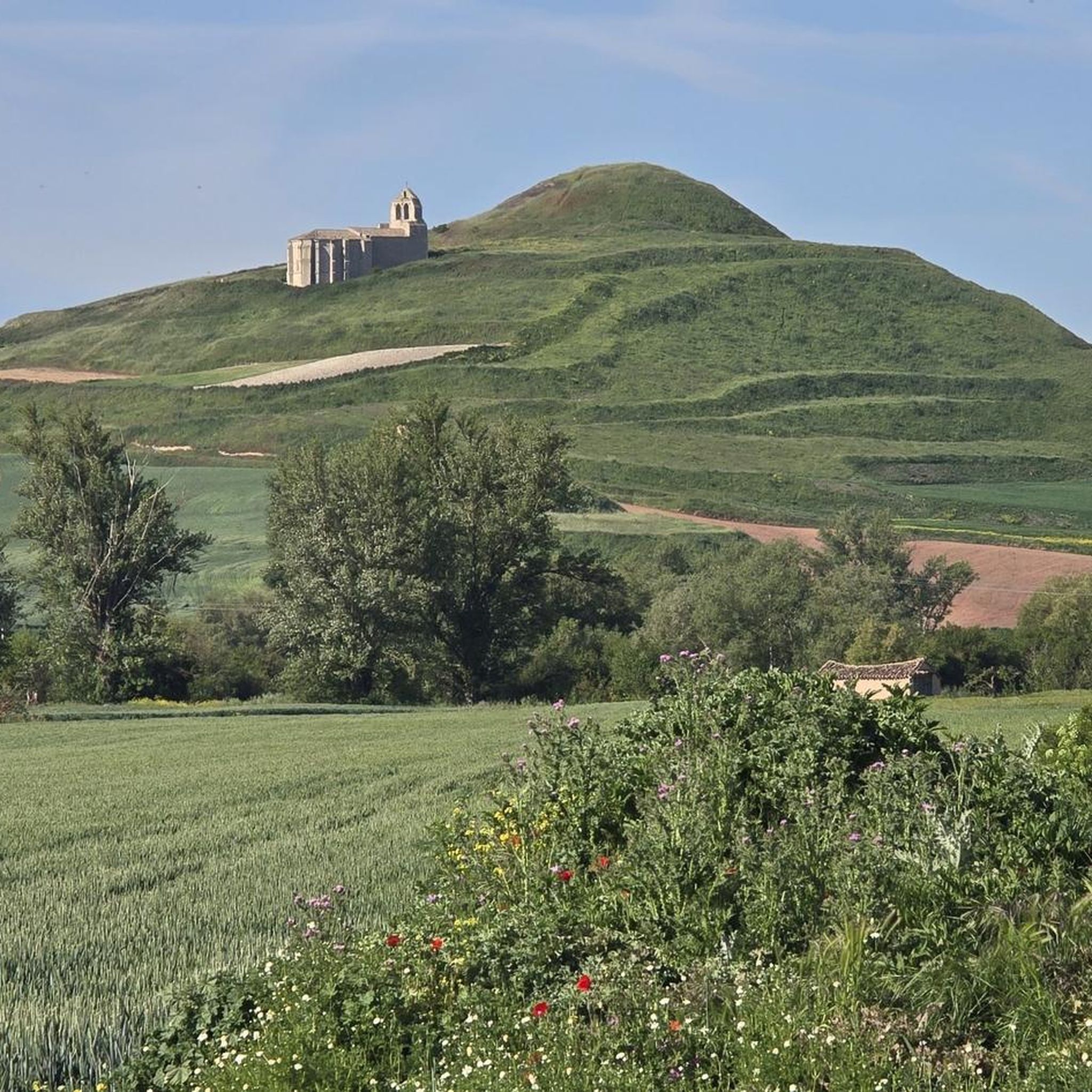
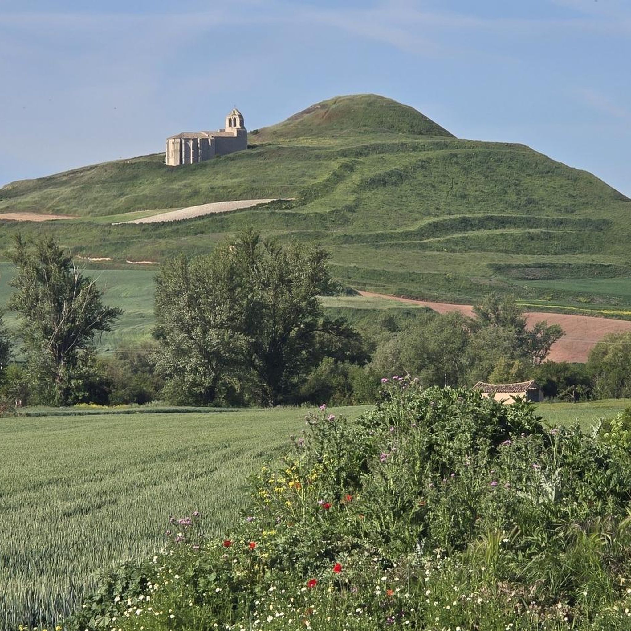
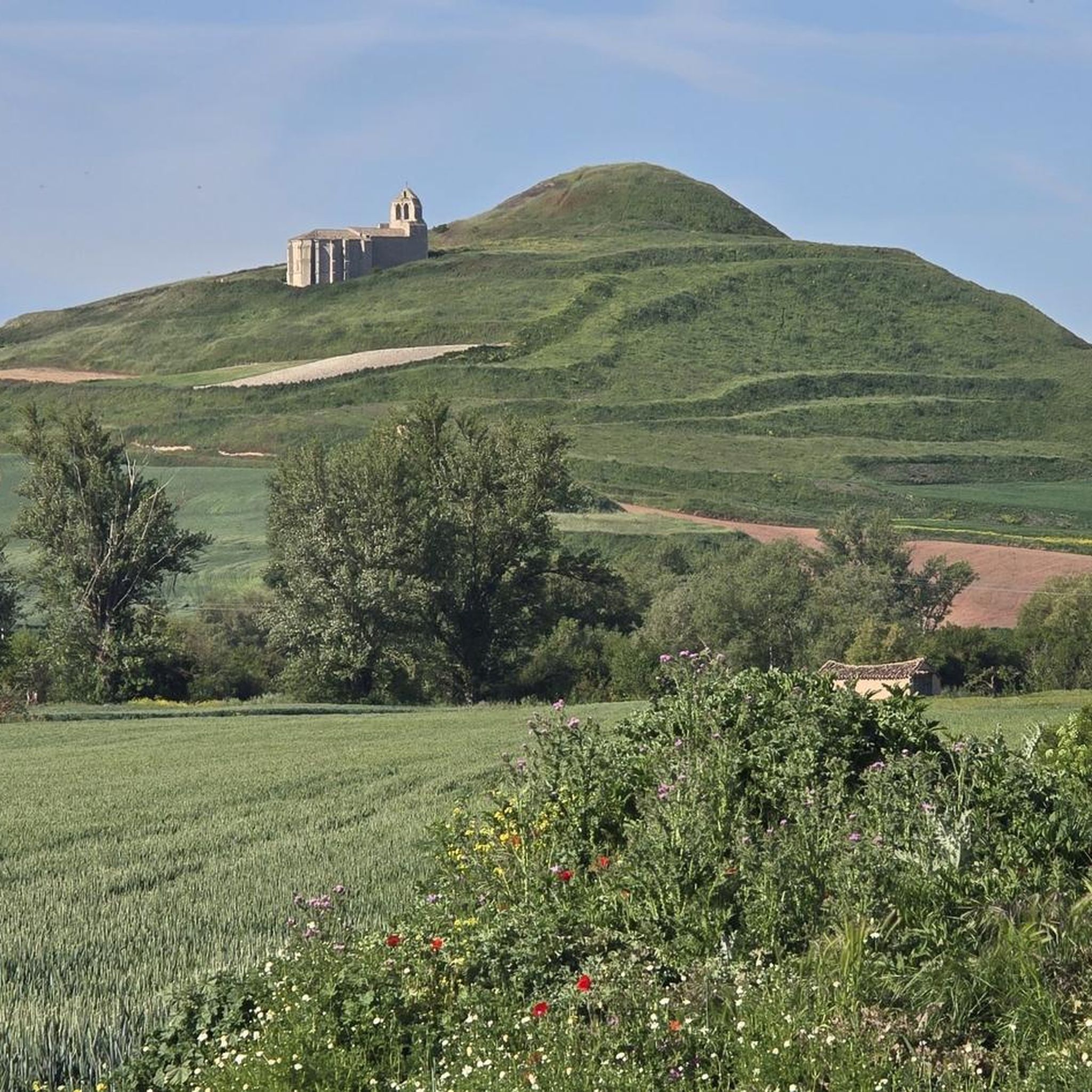
A view of infinity! Rolling hills, I feel like I'm walking through a beautiful landscape.
0
0

It is a tall stone cross, recently restored, that represents the area's Jacobean tradition. It is located in a small garden square, visible from the French Way, and serves as a visual reference for pilgrims arriving from Burgos. Although it is not a monolith in the strictest sense (like the granite cairns with the shell), it serves a similar function: marking the passage of the Way and welcoming walkers.
1
0
The Camino de Santiago monolith in Tardajos is actually a stone cross that stands as a symbolic landmark at the entrance to the town, just to the left of the road that connects to Burgos.
1
0
It represents the faces of Albert Einstein, Nelson Mandela, and Mahatma Gandhi, three universal figures of peace, science, and human rights. It is accompanied by the yellow arrow, the symbol of the Camino de Santiago, making it a visual reference point for walkers. It is located at the edge of the town, heading toward Hornillos del Camino, on a wall visible from the official Camino route.
1
0
Frequently Asked Questions
What kind of hiking trails can I expect around Cayuela?
Hiking around Cayuela features open rural paths and gentle, rolling terrain. Many routes follow historic pilgrimage paths, including sections of the Camino de Santiago, connecting small villages and agricultural areas. The elevation gains are generally modest, making the trails accessible for various fitness levels.
Are there easy hiking options suitable for beginners or casual walkers?
Yes, Cayuela offers several easy hiking options. For example, The sun always at your back loop from Villalbilla de Burgos is an easy 6.2 km trail that takes about 1 hour 34 minutes to complete, leading through open fields.
Are there any longer or more challenging hikes in the Cayuela area?
While most trails are moderate, some offer longer distances. For a more extended experience, consider the View of Hornillos del Camino – Hornillos del Camino loop from Rabé de las Calzadas, a moderate 18.4 km path that provides expansive views of the surrounding plains and connects several villages.
Can I find circular hiking routes around Cayuela?
Yes, many routes in the area are circular. A notable option is From Rabé de la Calzada along the Camino de Santiago — circular from Tardajos, a moderate 18.1 km trail following historic pilgrimage paths.
What kind of attractions or landmarks can I see while hiking near Cayuela?
The region is rich in cultural heritage. You can explore historical sites like the Mazuelo Tower or the Tower of the Castle of Mazuelo de Muñó. For a hike that includes historical structures, try The two towers: Torre de Mazuelo and de Arenillas de Muñó — circular from Mazuelo de Muñó.
Are there any family-friendly hiking trails in Cayuela?
Given the generally modest elevation gains and open rural paths, many of the easier and moderate routes are suitable for families. The 6.2 km The sun always at your back loop from Villalbilla de Burgos is a good option for a shorter family outing.
What do other hikers say about the trails in Cayuela?
The hiking routes in Cayuela are highly rated by the komoot community, with an average score of 4.4 stars from over 50 reviews. Hikers often appreciate the quiet countryside, the historical significance of the Camino de Santiago sections, and the well-maintained rural paths.
Is public transport available to reach trailheads around Cayuela?
Information on specific public transport links directly to trailheads is limited. However, Cayuela is a small municipality, and public transport options might be infrequent. It's advisable to check local bus schedules for connections to nearby larger towns like Burgos, from where you might need to arrange further transport or start your hike.
What is the best time of year to go hiking in Cayuela?
The region's open rural paths and gentle terrain make it enjoyable for hiking during spring and autumn when temperatures are mild. Summer can be warm, especially in open areas, so early mornings or late afternoons are preferable. Winter hiking is possible, but some paths might be muddy, and daylight hours are shorter.
Are there any trails that pass by cafes or places to stop for refreshments?
Many routes connect small villages, which often have local establishments where you can find refreshments. For instance, the Fountain in Rabé de la Calzada – La Fábrica Hostel loop from Tardajos passes through Rabé de la Calzada, a village on the Camino de Santiago, which typically offers services for pilgrims and hikers.
What kind of wildlife might I encounter on the trails?
Given the agricultural and rural landscape, you might spot common farmland birds, small mammals, and various insects. The open fields and gentle hills provide habitats for species adapted to these environments. Keep an eye out for local flora and fauna typical of the Castilian plains.
Most popular attractions around Cayuela

Get inspired with the komoot mobile app


Explore more
Browse the best Hikes in other regions.
