The best running trails around Mazcuerras
4.7
(49)
1,990
runners
176
runs
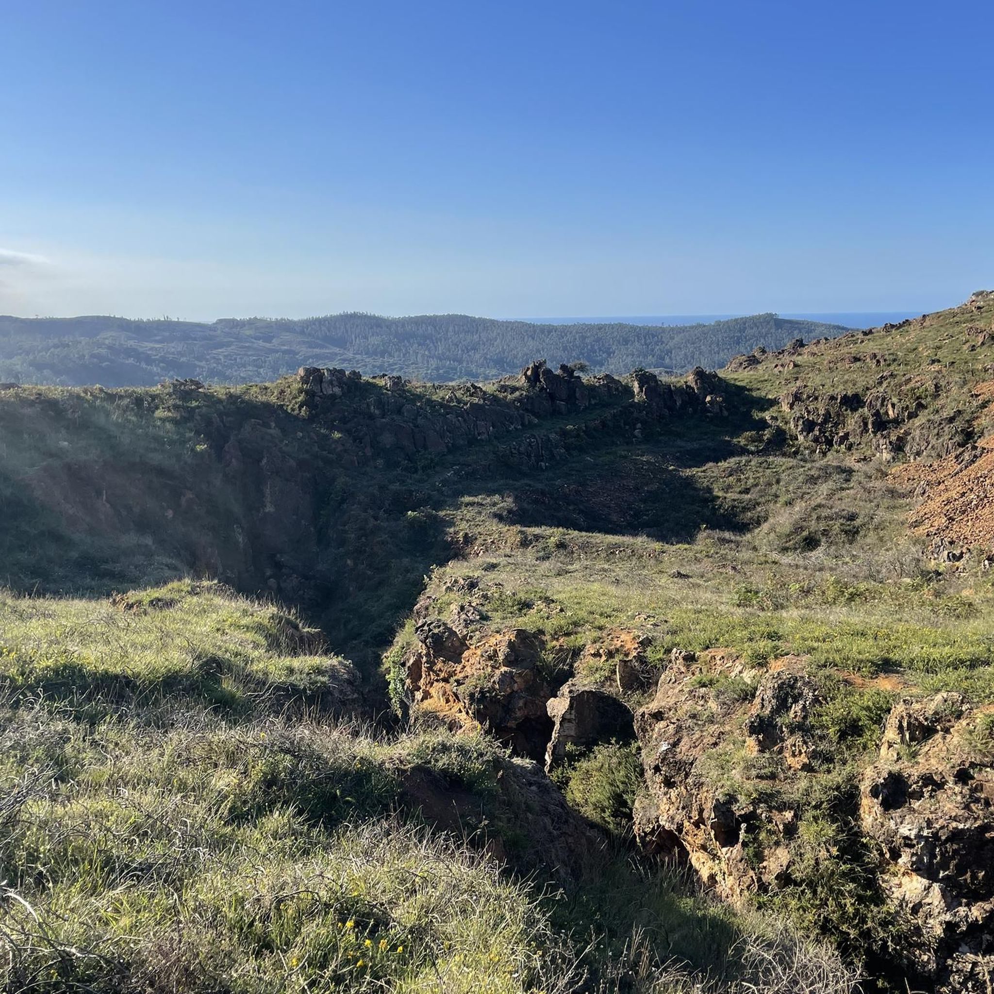
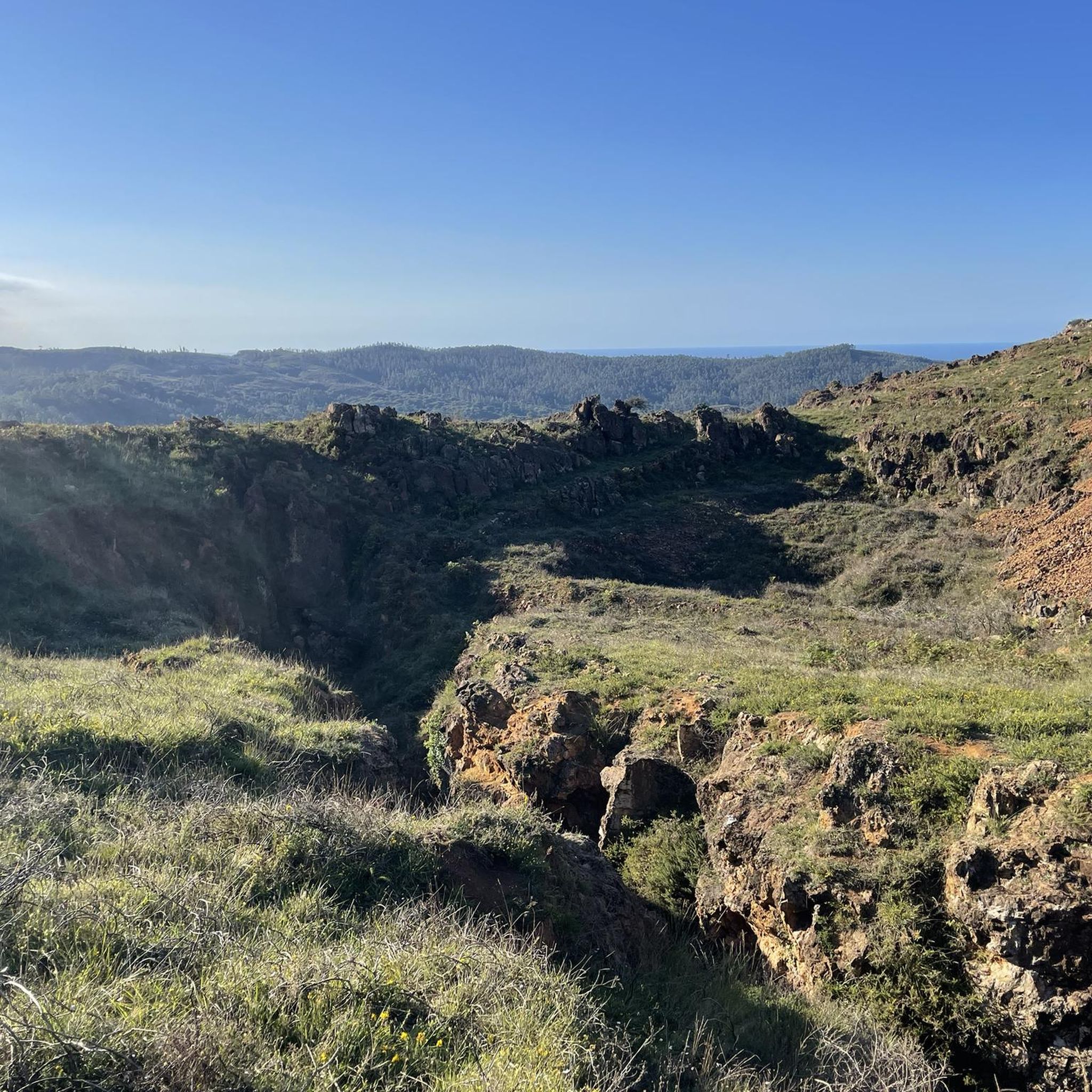
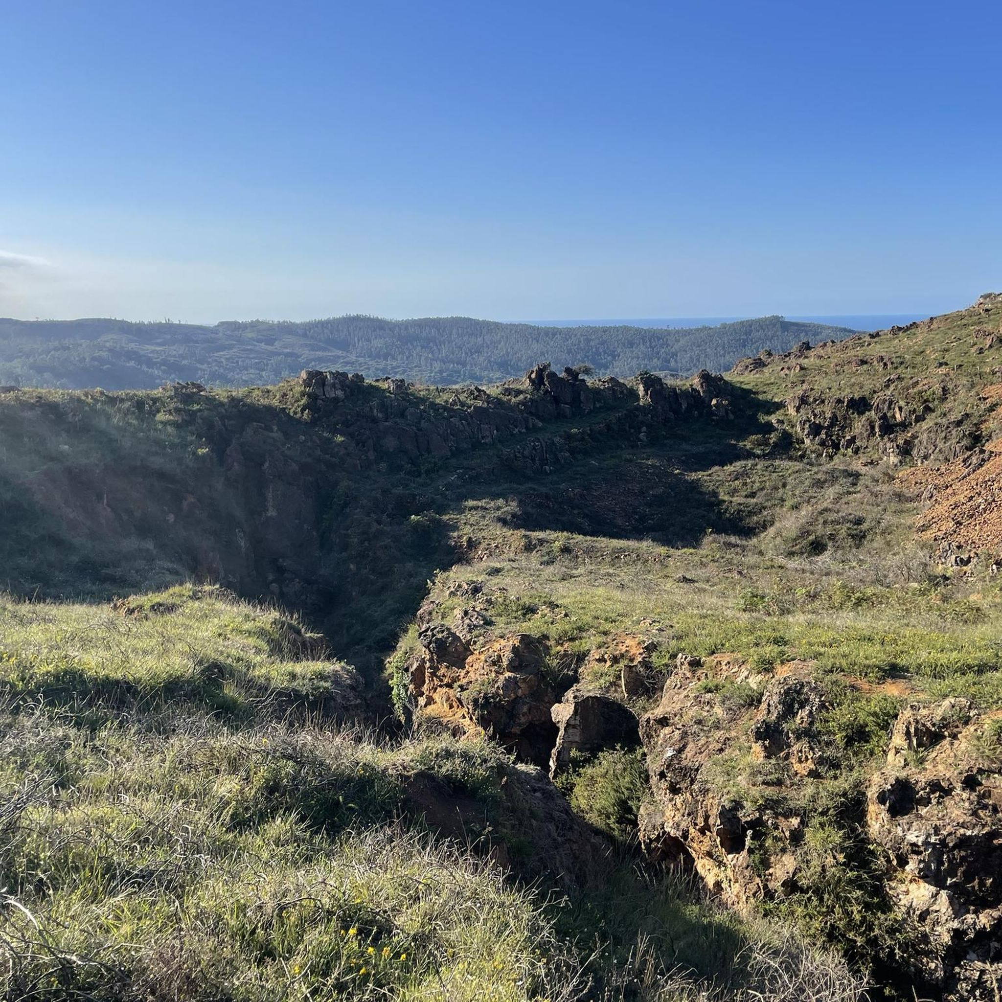
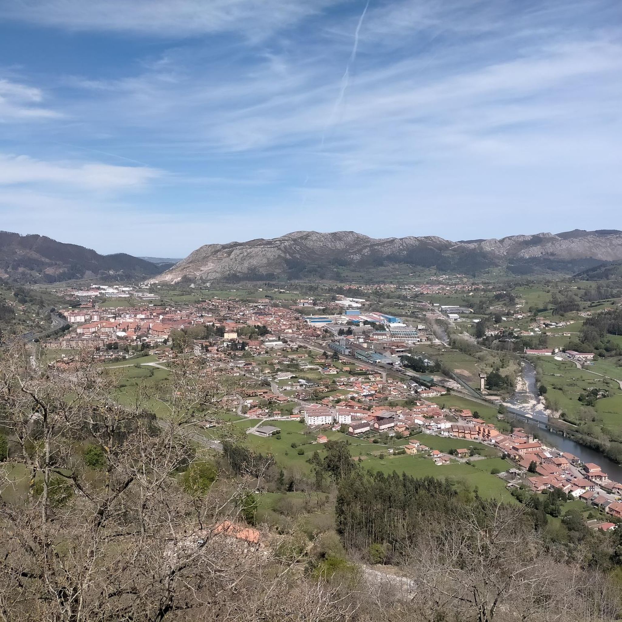
Jogging routes Mazcuerras offer diverse terrain for runners, situated at the foot of Mount Ibio and alongside the Pulero stream, a tributary of the Saja River. The municipality features alluvial plains in its northern and western parts, transitioning to more rugged central terrain with hills like El Cueto (544 m) and Ladreo (579 m). The area also includes natural forests and a network of forest paths, providing varied backdrops for running.
Best jogging routes around Mazcuerras
- The most popular jogging…
Last updated: October 25, 2026
57
runners
33.5km
04:31
1,330m
1,330m
Hard run. Very good fitness required. Mostly paved surfaces.
53
runners
36.0km
04:57
1,400m
1,400m
Hard run. Very good fitness required. Mostly paved surfaces.

10
runners
17.1km
02:44
960m
950m
Hard run. Very good fitness required. Mostly paved surfaces.
10
runners
29.5km
04:05
1,380m
1,380m
Hard run. Very good fitness required. Mostly paved surfaces.
5.0
(2)
11
runners
11.6km
01:34
530m
530m
Hard run. Very good fitness required. Mostly paved surfaces.
Get access to more routes and recommendations from other explorers.
Already have an account?
Our route recommendations are based on thousands of hikes, rides, and runs completed by other people on komoot.
Start today with a free account
Your next adventure awaits.

Tips from the Community

Whenever I pass by here, even by car, I take a look at this beautiful bridge.
1
0
Beautiful site, and right in the town.
1
0

Beautiful meadow on a wide esplanade with wooden tables. From this point begins the long and hard climb to El Moral.
0
0

There are several recreational areas with tables and barbecues, almost all with grills. There is also a huge children's playground and a bar that is open in summer. It has bathrooms, independent of the opening hours of the bar. Along the route of the Bayones River you will find the Ucieda pools where you can bathe.
1
0
It takes its name from the main activity it carried out for centuries: the extraction of salt. It has a multitude of worthy buildings, among the most important are the palace-house of Carrejo (today converted into the Museum of Nature of Cantabria), the palace-tower of the Monasteries, and the Bodega palace (18th century).
1
0
Mountain pass very busy by all the cyclists of Cantabria. Of moderate slopes, with a slightly harder final kilometer and a small descent after completing the initial 1000 meters.
1
0

The Ojo de la Fuentona is the source of the homonymous river in the town of Ruente, a very quiet and picturesque place surrounded by a very peculiar legend. Given its intermittency, the river sometimes dries up completely and in the past it was said that an anjana (good witch) lived in the Eye who used to have some whim and could make the water stop emanating there.
1
0
Very close to the bridge itself is the Fuentona, the source of the homonymous river that hides a curious legend related to the intermittent flow of the river. The bridge is a classic postcard from the town of Ruente.
1
0
Frequently Asked Questions
How many running routes are available around Mazcuerras?
Mazcuerras offers a wide selection of over 150 running routes, catering to various preferences and fitness levels. These trails traverse diverse landscapes, from river valleys to mountain ascents.
What kind of terrain can I expect on the jogging routes in Mazcuerras?
The terrain around Mazcuerras is quite varied. You'll find routes along alluvial plains near the Saja River, through natural forests, and ascending into hills like Mount Ibio. Many routes feature a mix of forest paths and paved tracks, offering a dynamic running experience.
Are there any easy running routes suitable for beginners or a relaxed jog?
Yes, Mazcuerras has several easy running options. There are 7 routes classified as easy, perfect for beginners or those looking for a less strenuous run. These routes often follow gentler paths through the scenic natural environment.
Can I find challenging or long-distance running trails in the Mazcuerras area?
Absolutely. For experienced runners seeking a challenge, Mazcuerras features 61 difficult routes, including longer distances and significant elevation gains. An example is the Ucieda Mountain House – Campa de Ucieda loop from Azud de Santa Lucía, a demanding 23.9 km path through mountainous landscapes, or the Pico Acebo loop from Virgen de la Peña, which is 29.5 km long with considerable ascent.
Are there any circular running routes in Mazcuerras?
Yes, many routes in Mazcuerras are circular, allowing you to start and finish in the same location. A popular option is the Running loop from Mazcuerras, a moderate 9.6 km trail mostly on paved tracks, offering a convenient and enjoyable run.
What do other runners say about the trails in Mazcuerras?
The running routes in Mazcuerras are highly regarded by the komoot community, boasting an average rating of 4.6 stars from over 30 reviews. Runners frequently praise the varied terrain, the natural beauty of the forests and river valleys, and the well-maintained paths that make for an enjoyable experience.
Are there any notable natural features or landmarks to see while running?
Yes, the region is rich in natural beauty and points of interest. You might encounter the Saja River, Mount Ibio, and various natural forests. The area is also known for its charming architectural heritage, including palaces and mansions. For specific natural highlights, consider exploring areas near the El Bolao Cliff or the El Moral Plateau.
Are there any routes that offer views of the Saja River?
Many routes in Mazcuerras follow river valleys, including those along the Saja River. A notable feature is the wooden walkway spanning the Saja River, connecting the natural path of the Mazcuerras forest with the Minchón river path near Vernejo, offering excellent views of the river and its surroundings.
What makes Mazcuerras a unique place for outdoor activities like running?
Mazcuerras stands out due to its blend of natural beauty and cultural charm. Situated at the foot of Mount Ibio, with the Saja River flowing through, it offers diverse landscapes from fertile plains to rugged hills. The town itself, recognized as 'Pueblo de Cantabria 2008', is known as 'the town of flowers' due to its abundant flora and well-preserved architectural heritage, creating a particularly pleasant environment for outdoor pursuits.
Are there any routes that explore the mountainous areas around Mazcuerras?
Yes, several routes venture into the more rugged central terrain, including hills like El Cueto (544 m), Ladreo (579 m), and Ibio (798 m). The Ibio loop from Puerto de Morancas is a challenging 11.5 km route that takes you through these elevated landscapes, offering panoramic views.
Can I find routes that are a good balance of distance and elevation?
For a balanced challenge, consider routes like the Canto Redondo – Braña las Tiesas loop from Azud de Santa Lucía. This difficult 16.6 km route features significant elevation changes, providing both a good workout and rewarding views of the Cantabrian landscape.
Most popular routes around Mazcuerras
Most popular attractions around Mazcuerras

Get inspired with the komoot mobile app


Explore more
Browse the best Running Trails & Routes in other regions.
