The best road cycling routes around Tejadillos
5.0
(1)
131
riders
13
rides
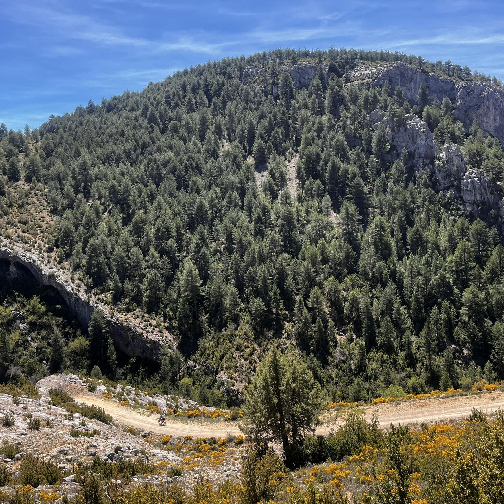
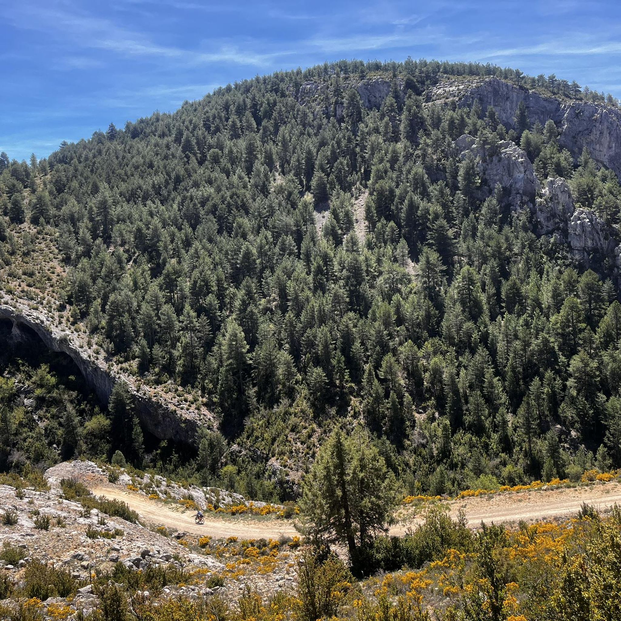
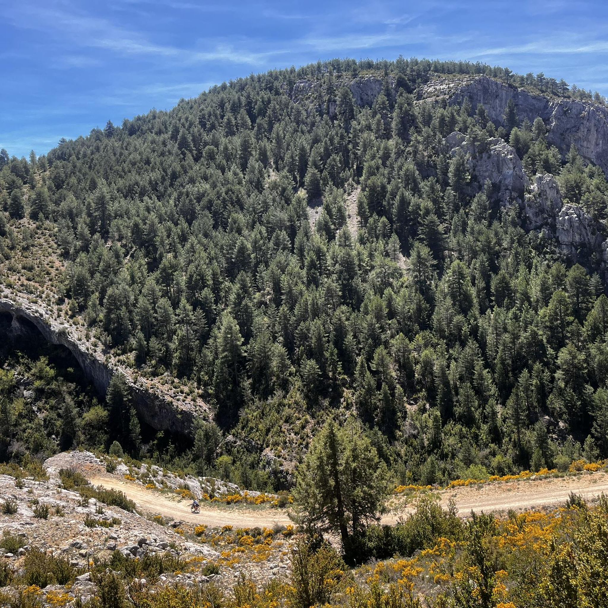
Road cycling routes around Tejadillos are situated within a river valley and surrounded by hills in the Serranía de Cuenca Natural Park. This region features diverse landscapes, including lush pine and holm oak forests, and varied terrain with both challenging ascents and rewarding descents. The area offers extensive, scenic roads, making it suitable for road cycling.
Best road cycling routes around Tejadillos
- The most popular road cycling route is Cañete – Dirt road to Moya loop from Cañete, a 50.5 miles (81.3 km) trail that takes 3 hours 50 minutes to complete. This difficult route features significant elevation gain through the natural park.
- Another top favourite among local road cyclists is Roadbike loop from Tejadillos, a moderate 39.7 miles (63.9 km) path. This route offers varied climbs and descents through the scenic local landscape.
- Local road cyclists also love the Cañete – Río de la Laguna loop from Zafrilla, a 31.4 miles (50.5 km) trail leading through river valleys and forested areas, often completed in about 2 hours 34 minutes.
- Road cycling around Tejadillos is defined by river valleys, pine-covered slopes, and varied climbs and descents within the Serranía de Cuenca Natural Park. The network offers options for both moderate and difficult ability levels.
- The routes in Tejadillos are highly rated by the komoot community with an average score of 5.0 stars from a review. More than 100 road cyclists have used komoot to explore Tejadillos's varied terrain.
Last updated: July 1, 2026
26
riders
81.3km
03:50
980m
980m
Hard road ride. Very good fitness required. Some segments of this route may be unpaved and difficult to ride.
14
riders
63.9km
02:58
800m
800m
Moderate road ride. Good fitness required. Mostly well-paved surfaces and easy to ride.

Sign up for free
13
riders
50.5km
02:35
840m
830m
Moderate road ride. Good fitness required. Mostly well-paved surfaces and easy to ride.
13
riders
78.7km
03:38
930m
930m
Hard road ride. Very good fitness required. Mostly well-paved surfaces and easy to ride.
12
riders
129km
06:20
1,900m
1,900m
Hard road ride. Very good fitness required. Mostly well-paved surfaces and easy to ride.
Get access to more routes and recommendations from other explorers.
Sign up for free
Already have an account?
Our route recommendations are based on thousands of hikes, rides, and runs completed by other people on komoot.
Start today with a free account
Your next adventure awaits.
Login or Signup

Tips from the Community

The route descends from the CU-V-5003 road to the Algarra River, offering glimpses of it from within the valley. Along paths parallel to the river, you'll see orchards, tree plantations, and riverside land, some of which is also visible from the access roads and sides of the CU-V-5003.
2
0
The official source of water is located at Fuente de García, in the Montes Universales, within the municipality of Frías de Albarracín (Teruel). It is located at an altitude of approximately 1,590 meters, surrounded by pine forests and high mountain meadows. Access is very easy and well signposted. Take the A-1704 highway, which connects Frías de Albarracín with Huélamo (Cuenca). From the highway, a paved detour of approximately 2 km takes you directly to the recreational area and the monument. There is free parking next to the monument.
10
0
Access is very easy and well signposted. Take the A-1704 highway, which connects Frías de Albarracín with Huélamo (Cuenca). From the highway, a paved detour of approximately 2 km takes you directly to the recreational area and the monument. There is free parking next to the monument.
5
0
The official source is located at Fuente de García, in the Montes Universales, within the municipality of Frías de Albarracín (Teruel). It is located at an altitude of approximately 1,590 meters, surrounded by pine forests and high mountain meadows.
5
0

It is a reference to the place where the longest river in Spain originates, stretching over 1,000 km and flowing into neighboring Portugal. These statues symbolize this point in the Albarracín mountain range.
8
0

Perfectly natural in a beautiful location.
4
0

Acceptable cabin with a fireplace and a bedroom. There's a spring next door.
0
0
The Puerto de El Cubillo is a mountain pass located in the Montes Universales, in the region of Castilla-La Mancha. This port can be divided into two phases: a first one with a certain difficulty that goes from the beginning, at the intersection of the CM-2105 road, until kilometer 5.5, and then a practically flat phase that ends at the border of the provinces of Cuenca and Teruel. It is an ideal place for lovers of cycling and hiking, offering spectacular views and an impressive natural environment.😎🚴🚵🚶♂️🌄
8
0
Frequently Asked Questions
How many road cycling routes are available around Tejadillos?
There are over 10 road cycling routes around Tejadillos, offering diverse experiences within the Serranía de Cuenca Natural Park. These routes range from moderate to difficult, catering to various fitness levels.
What is the best time of year for road cycling in Tejadillos?
The Serranía de Cuenca Natural Park, where Tejadillos is located, is ideal for road cycling during spring and autumn. The weather is generally milder, and the natural landscapes are at their most vibrant. Summer can also be pleasant, especially in the mornings or late afternoons, but be prepared for warmer temperatures.
What are the typical road conditions for cycling around Tejadillos?
Roads within the Serranía de Cuenca Natural Park are generally well-maintained, providing a smooth surface for road bikes. However, some sections can be narrow and winding, adding to the adventurous feel of the ride. The region's low population density means minimal car traffic, contributing to a safe and enjoyable cycling experience.
Are there any challenging road cycling climbs near Tejadillos?
Yes, Tejadillos and the surrounding Serranía de Cuenca Natural Park are known for varied climbs and descents. Many routes feature significant elevation gains, with some classified as 'difficult' and exceeding 1,000 meters over distances of 50-70 km. For example, the El Cubillo Pass – Forest House Refuge loop from Salvacañete offers nearly 1,900 meters of elevation gain over 128 km.
Can I find circular road cycling routes in the Tejadillos area?
Yes, many road cycling routes around Tejadillos are designed as loops, allowing you to start and finish in the same location. An example is the Roadbike loop from Tejadillos, a moderate 63.9 km path with varied climbs and descents through the scenic local landscape.
What natural attractions can I see along the road cycling routes?
The routes often pass through areas rich in natural beauty. You can explore stunning features like the Herrería Waterfall, an 8-meter cascade over the Cabriel River, or the tranquil San Pedro Mill Waterfall. The Ojos del Cabriel, natural springs feeding the Cabriel River, are also easily accessible via picturesque paths.
Are there any historical landmarks or points of interest along the routes?
While the region is primarily known for its natural landscapes, you might encounter cultural elements. The village of Tejadillos itself boasts a well-preserved medieval urban layout with traditional 'serrana' architecture. Additionally, the Monument to the 1959 Plane Crash Victims is a notable landmark in the area.
Is there parking available for cyclists in Tejadillos?
Yes, Tejadillos is a small village, and parking is generally available, especially in designated areas. Given its role as a base for outdoor activities, you'll find suitable spots to park your vehicle before starting your cycling adventure.
What do other road cyclists enjoy most about road cycling in Tejadillos?
The area is highly rated by the komoot community, with an average score of 5.0 stars. Reviewers often praise the extensive network of scenic roads, the tranquil environment with minimal traffic, and the diverse terrain that offers both challenging ascents and rewarding descents through river valleys and pine-covered slopes.
Are there options for moderate difficulty road cycling routes?
Yes, while many routes offer significant challenges, there are also moderate options. For instance, the Cañete – Río de la Laguna loop from Zafrilla is a moderate 50.5 km trail leading through river valleys and forested areas, typically completed in about 2 hours 34 minutes.
Are there places to eat or drink along the road cycling routes?
Tejadillos and the surrounding villages offer local amenities where you can find cafes and restaurants. While some routes traverse remote areas within the natural park, planning your ride to pass through villages like Cañete or Zafrilla will provide opportunities for refreshment stops.
What kind of landscapes will I encounter on a road cycling trip around Tejadillos?
You will traverse through impressive and varied landscapes, including lush pine and holm oak forests, serene river valleys, and panoramic viewpoints from pine-covered slopes. The region is part of the Serranía de Cuenca Natural Park, known for its stunning natural beauty and diverse ecosystems.
Most popular attractions around Tejadillos

Get inspired with the komoot mobile app


Explore more
Browse the best Road cycling routes in other regions.
