The best walks and hikes around Huércanos
4.6
(152)
971
hikers
79
hikes
Hiking around Huércanos offers access to varied landscapes, characterized by rolling hills, river valleys, and agricultural areas. The region features a network of trails that traverse open countryside and connect local villages. Elevations are generally moderate, providing accessible hiking opportunities.
Best hiking trails around Huércanos
- The most popular hiking route is Poyo de Roldán Stone Hut – Bridge over the Yalde River loop from Alto de San Antón, a 18.0 miles (29.0 km) trail that takes 7 hours 51…
Last updated: July 4, 2026
4.3
(75)
421
hikers
Hard hike. Very good fitness required. Easily-accessible paths. Suitable for all skill levels.
4.0
(3)
70
hikers
Moderate hike. Good fitness required. Easily-accessible paths. Suitable for all skill levels.

Sign up for free
4.8
(4)
43
hikers
11.3km
03:04
170m
170m
Moderate hike. Good fitness required. Easily-accessible paths. Suitable for all skill levels.
4.0
(1)
11
hikers
7.22km
01:52
40m
40m
Easy hike. Great for any fitness level. Easily-accessible paths. Suitable for all skill levels.
8
hikers
8.70km
02:16
60m
60m
Moderate hike. Good fitness required. Easily-accessible paths. Suitable for all skill levels.
Get access to more routes and recommendations from other explorers.
Sign up for free
Already have an account?
Our route recommendations are based on thousands of hikes, rides, and runs completed by other people on komoot.
Start today with a free account
Your next adventure awaits.
Login or Signup
Tips from the Community

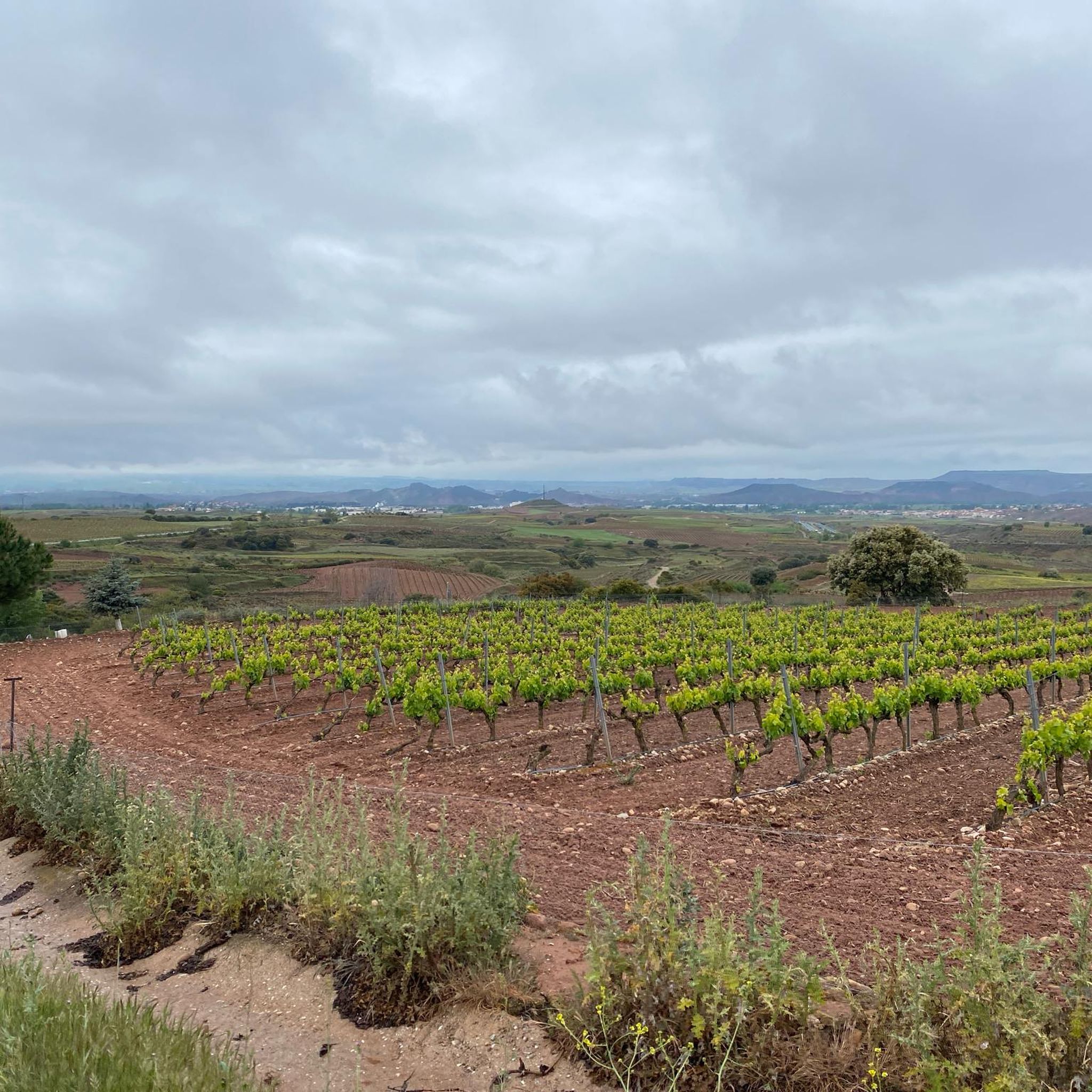
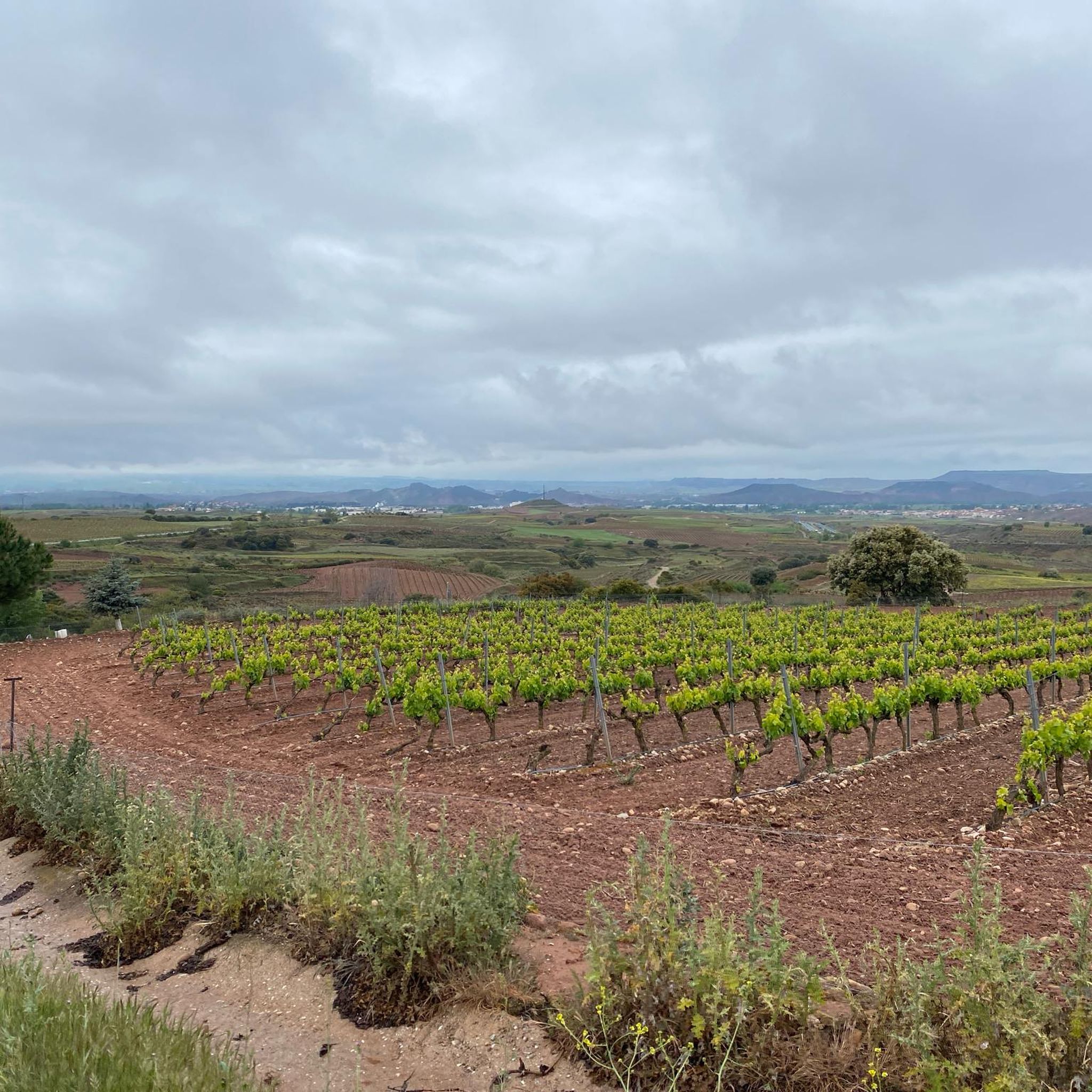
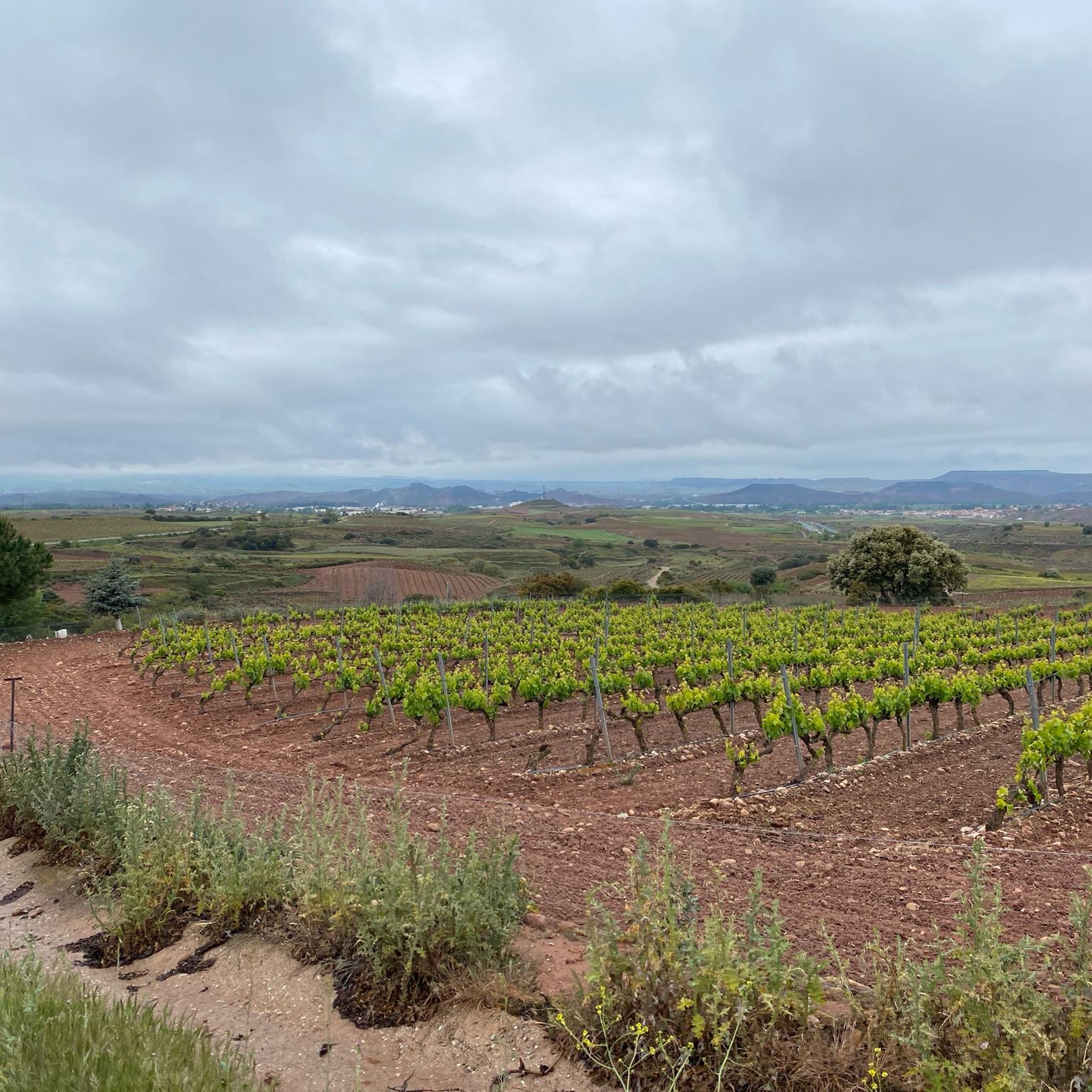
A hill that has its own legend: in the castle of Nájera lived Farragut or Ferragut, a Syrian giant descended from Goliath and stronger than him, who fought and defeated the best warriors of Charlemagne except Roldán, who one day from the poyo spotted the giant sitting at the door of his castle. Roldán picked up a round stone weighing two arrobas (~22kg) and threw it in the direction of the giant, whom he hit in the forehead, knocking him down. Since then the hill has been called Poyo de Roldán.The stone hut is likely a traditional stone vineyard shelter.
2
0
Stone bridge over the river leading to the oldest part of the town. Albergue Puerta de Nájera is to the right just after the bridge.
0
0

On the Caminos, there are often kilometer markings on monoliths, painted on house walls or in the form of wooden posts along the way, indicating how far it is to Santiago de Compostela.
0
0
Nájera is a small town on the Way of St. James with a remarkable monastery. The bustling town is the district capital, but it is difficult to imagine that Nájera was once the capital of La Rioja in the Middle Ages. The historic old town lies on the western bank of the small Najerilla river, which divides the city into two unequal halves. https://reisen-nach-spanien.com/la-rioja/najera
2
0
On the 8th stage of the Camino Francés from Logroño to Najéra, the Camino crosses this wooden bridge about 3 km before Najéra.
0
0

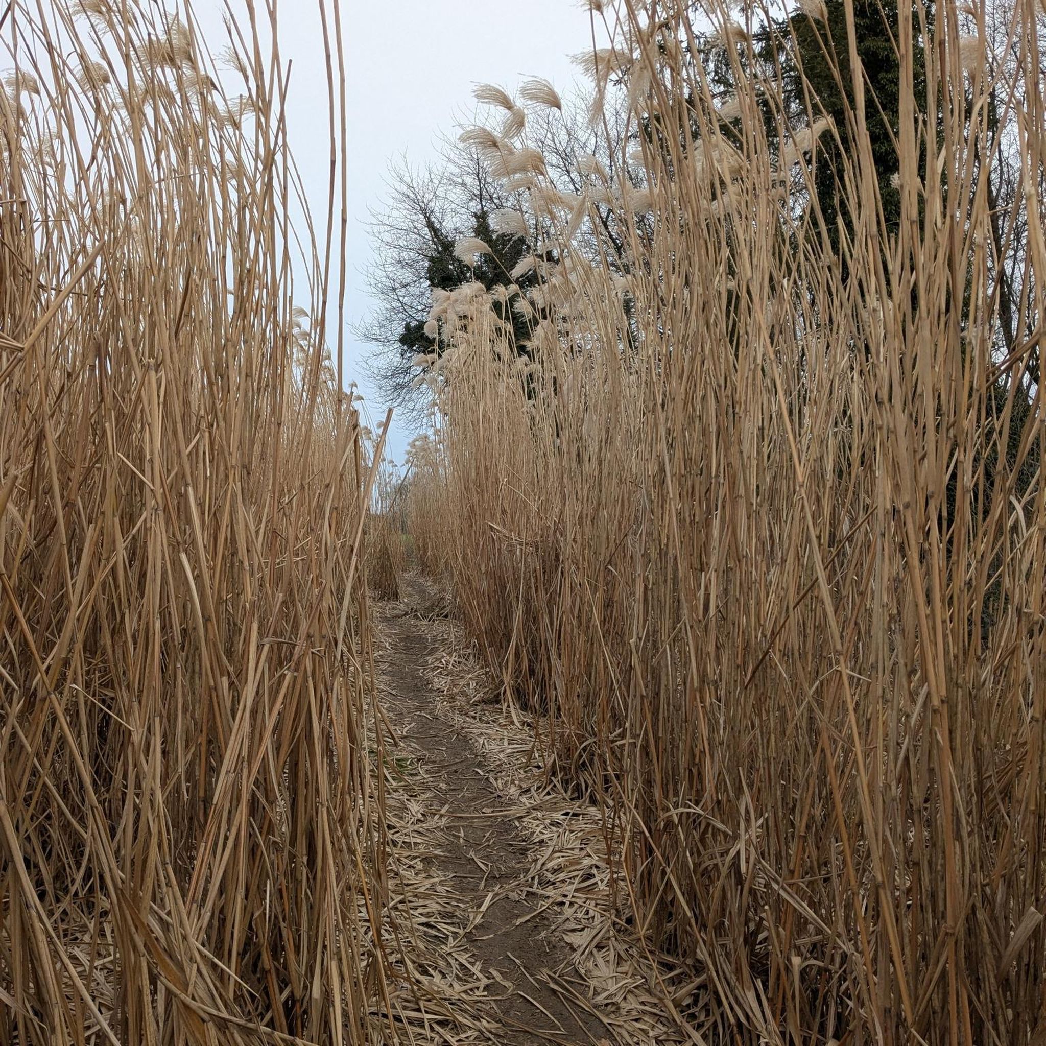
Section close to Nájera. A great initiative to bring together art and nature. It's like going to a museum in the middle of the countryside. Fantastic idea. Place to walk slowly and enjoy the works and the landscape at the same time. Highly recommended.
1
0
Frequently Asked Questions
How many hiking trails are available around Huércanos?
There are over 70 hiking routes around Huércanos, offering a wide range of options for different skill levels. You'll find 39 easy, 36 moderate, and 4 difficult trails to explore.
Are there easy hiking trails suitable for beginners or families in Huércanos?
Yes, Huércanos offers many easy trails perfect for beginners or families. For example, the Park on the riverbank (Nájera) loop from Nájera is an easy 4.5-mile (7.2 km) route that takes about 2 hours to complete, featuring minimal elevation gain.
What kind of landscapes can I expect to see while hiking near Huércanos?
Hiking around Huércanos will take you through varied landscapes, including rolling hills, fertile river valleys, and extensive agricultural areas. You'll also encounter historical paths, such as sections of the Camino de Santiago, and open countryside views.
Are there any circular hiking routes in the Huércanos area?
Yes, many of the hiking routes around Huércanos are circular. For instance, the Nájera – Camino de Santiago Signpost loop from Nájera is a popular moderate 7-mile (11.3 km) loop that allows you to start and finish in the same location.
What are some interesting landmarks or attractions to see along the hiking trails?
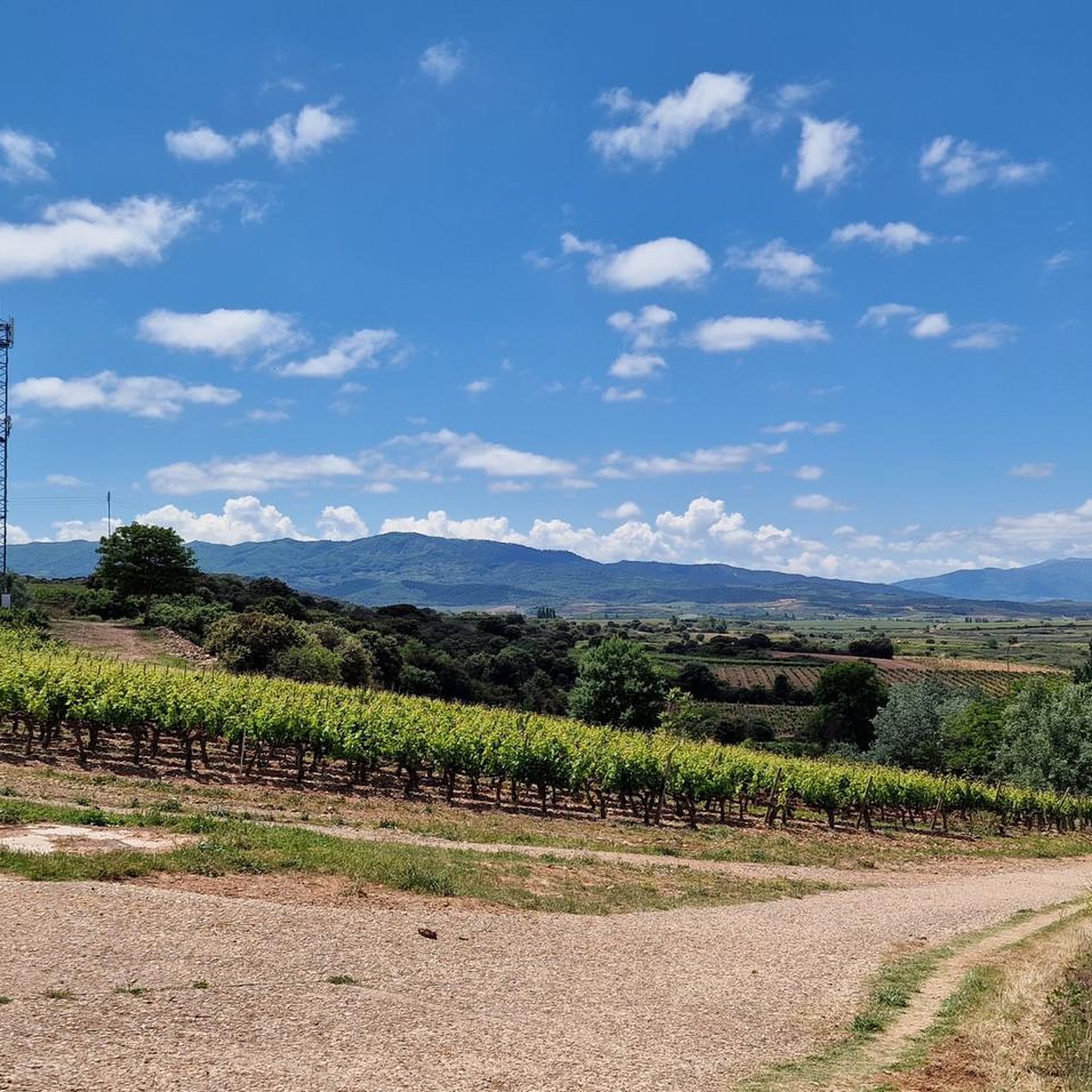
Along the trails, you can discover several interesting landmarks. Consider visiting the Poyo de Roldán Stone Hut, exploring the Former hospital of San Juan de Acre, or admiring the Church of Nuestra Señora de la Asunción. You might also spot the iconic Osborne Bull or enjoy the scenic Vineyards Between Logroño and Nájera.
What do other hikers enjoy most about hiking in Huércanos?
The hiking trails around Huércanos are highly rated by the komoot community, with an average score of 4.6 stars from over 100 reviews. Hikers often praise the varied terrain, the peaceful river valleys, and the historical significance of paths like the Camino de Santiago.
Are the hiking trails around Huércanos dog-friendly?
Generally, many trails in the Huércanos region are suitable for dogs, especially those in open countryside or natural areas. However, it's always recommended to keep your dog on a leash, especially near agricultural fields or in areas with livestock, and to check local regulations for specific routes.
What is the typical duration and distance of hikes in Huércanos?
Hikes in Huércanos vary significantly. Easy routes can be as short as 1-2 hours, while moderate trails often range from 3-5 hours. More challenging routes, like the Poyo de Roldán Stone Hut – Bridge over the Yalde River loop from Alto de San Antón, can take over 7 hours to complete, covering distances up to 18 miles (29 km).
Is there public transport available to reach hiking trailheads near Huércanos?
While Huércanos itself is a smaller town, public transport options, primarily buses, connect it to larger nearby towns like Nájera or Logroño. From these hubs, you might find local services or need to arrange alternative transport to reach specific trailheads. Checking local bus schedules is advisable.
Are there any viewpoints or scenic spots on the trails around Huércanos?
Yes, the rolling hills and open countryside provide numerous opportunities for scenic views. You can find excellent vantage points, such as LasNeveras, offering expansive vistas of the surrounding landscape, including the agricultural plains and distant mountains.
What is the best time of year to go hiking in Huércanos?
The best time for hiking in Huércanos is typically during spring (April-June) and autumn (September-November). During these seasons, the weather is generally mild and pleasant, making for comfortable hiking conditions. Summers can be hot, and winters can be cool and damp, though hiking is possible year-round with appropriate gear.
Are there any moderate-difficulty trails that offer a good balance of challenge and scenery?
Absolutely. The Poyo de Roldán Stone Hut – Bridge over the Yalde River loop from San Antón is a great example. This moderate 11-mile (17.7 km) loop explores the area around San Antón and the Yalde River, offering beautiful scenery without being overly strenuous.
Most popular routes around Huércanos
Most popular attractions around Huércanos

Get inspired with the komoot mobile app


Explore more
Browse the best Hikes in other regions.
