The best walks and hikes around Ribera D'Urgellet
4.6
(183)
1,323
hikers
86
hikes
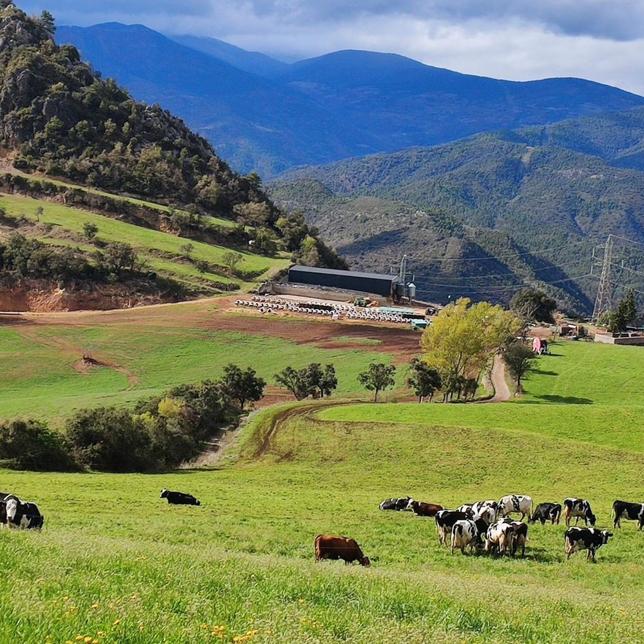
Hiking around Ribera D'Urgellet offers a diverse landscape characterized by river valleys, forested slopes, and the foothills of the Pyrenees. The region features a mix of moderate ascents and gentler paths, often following waterways like the Segre River. Trails frequently connect historical towns and offer views of the surrounding mountainous terrain.
Best hiking trails around Ribera D'Urgellet
- The most popular hiking route is La Seu d'Urgell and Calbinyà Loop Trail, a 5.8 miles (9.3 km) trail that takes 2…
Last updated: August 26, 2026
4.3
(3)
14
hikers
7.01km
02:47
540m
540m
Moderate hike. Good fitness required. Easily-accessible paths. Suitable for all skill levels.
4.4
(7)
33
hikers
Easy hike. Great for any fitness level. Easily-accessible paths. Suitable for all skill levels.

Sign up for free
3.5
(4)
18
hikers
Moderate hike. Good fitness required. Easily-accessible paths. Suitable for all skill levels.
5.0
(7)
13
hikers
Moderate hike. Good fitness required. Easily-accessible paths. Suitable for all skill levels.
11
hikers
14.2km
05:21
830m
830m
Hard hike. Very good fitness required. Mostly accessible paths. Sure-footedness required.
Get access to more routes and recommendations from other explorers.
Sign up for free
Already have an account?
Our route recommendations are based on thousands of hikes, rides, and runs completed by other people on komoot.
Start today with a free account
Your next adventure awaits.
Login or Signup
Popular around Ribera D'Urgellet
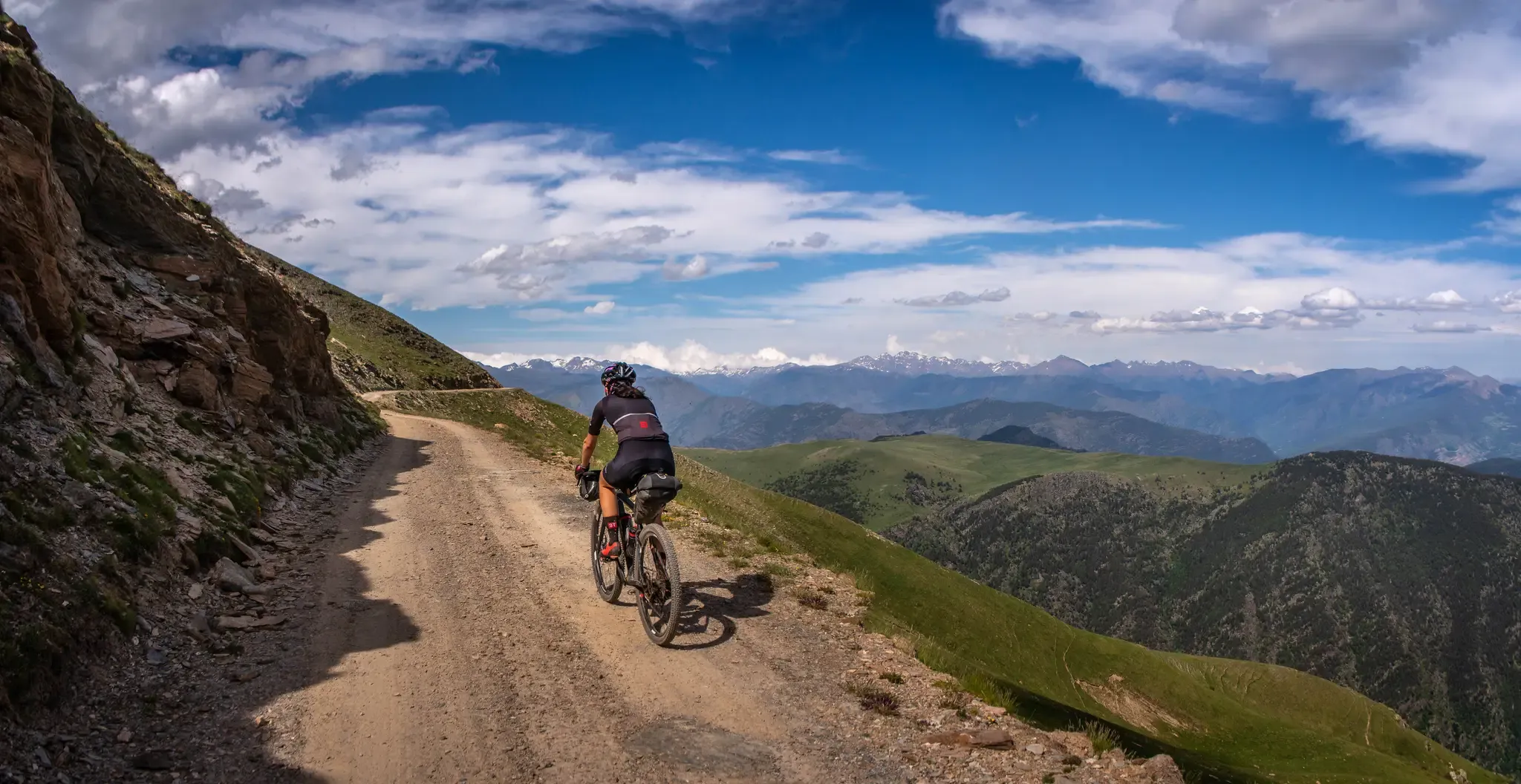
A high-altitude journey – Transpirenaica MTB
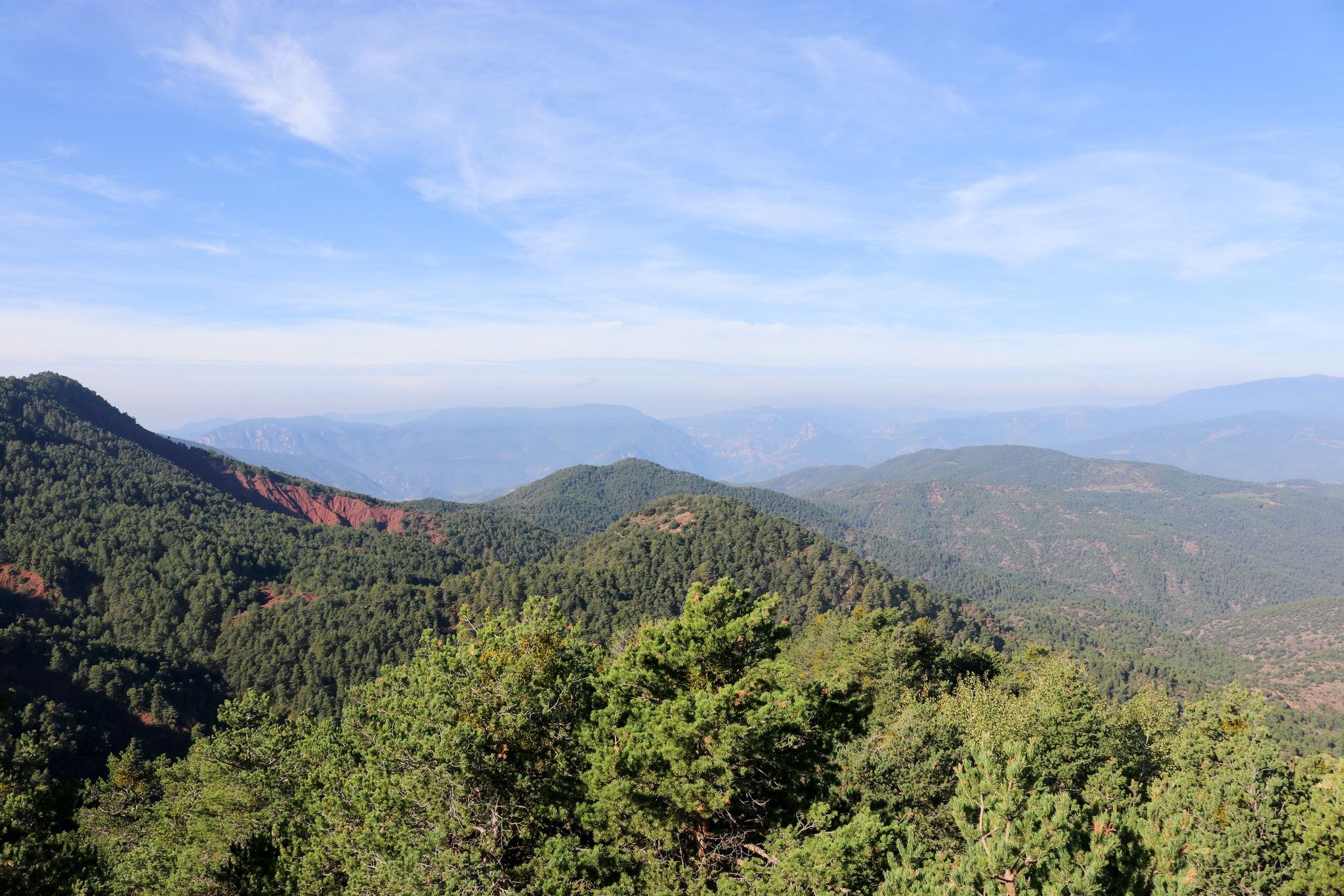
Bikepacking from La Seu d'Urgell to La Seu d'Urgell in the Tost Valley
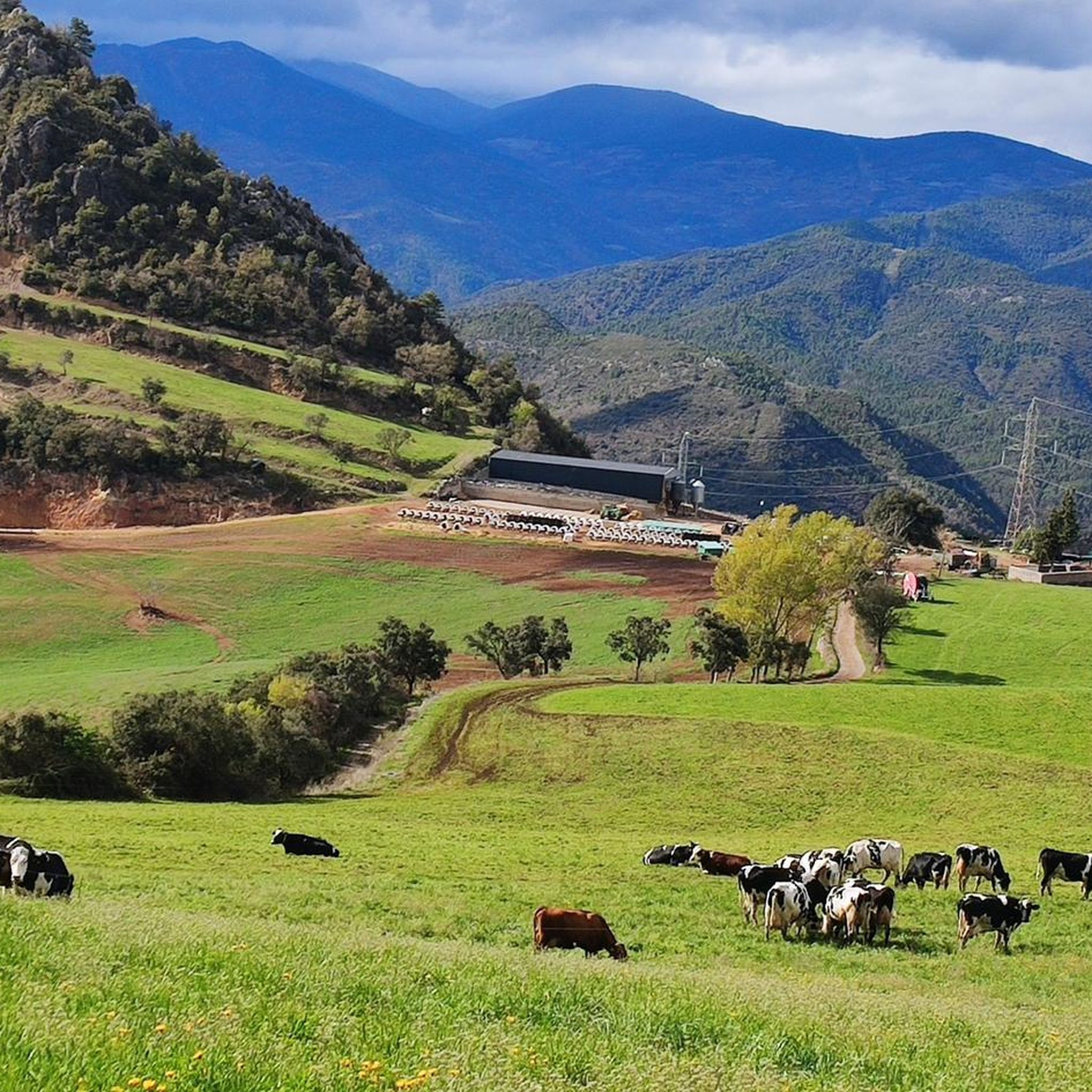
Cycling around Ribera D'Urgellet
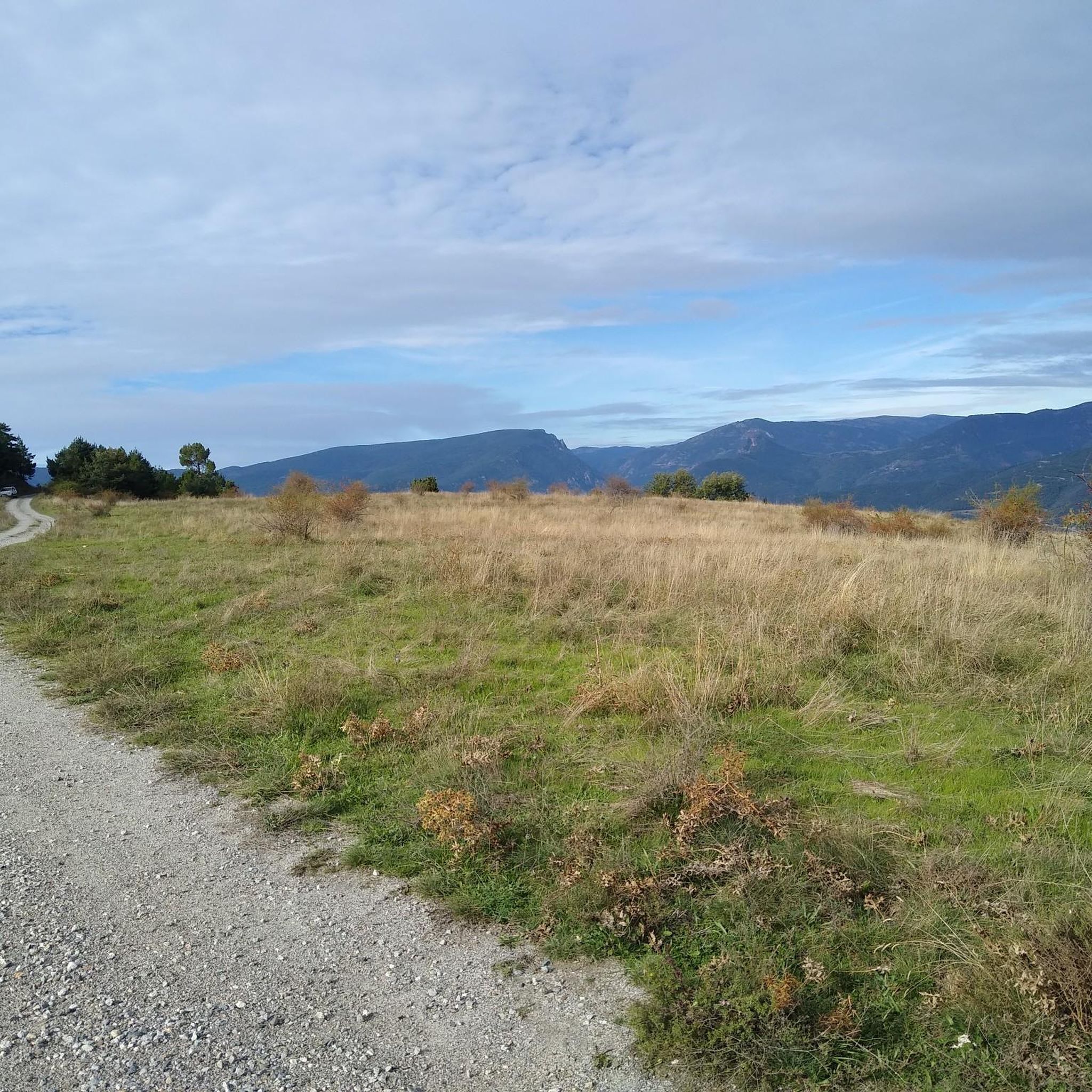
Road Cycling Routes around Ribera D'Urgellet
MTB Trails around Ribera D'Urgellet
Running Trails around Ribera D'Urgellet
Gravel biking around Ribera D'Urgellet

Tips from the Community

The Segre Park was created as part of a canalization project on the Segre after the floods in 1982 and as part of the Olympic Games.
0
0
For centuries, the Canons' Street was the city's most important artery. In the 14th century, the canons built their residences there.
0
0

Paleta Noves de Segre requires full accommodation
1
0

Beautiful town and starting point for the excursion to the Hermitage and the Summit of Sant Quiri, from where we have spectacular views of this region of Alt Urgell
0
1

Medieval bridge with 3 arches that crosses the Segre river, at the entrance to the town of Arfa. It gives us a very nice picture with the town in the background. We can contemplate it from the green zone that we will find there. Crossing point of many routes, on foot or by bicycle.
2
0
It is a bridge from medieval times with 3 arches that crosses the Segre river, at the entrance to the town of Arfa. He gives us a very nice picture with the town in the background. We can contemplate it from the green zone that we will find there. Crossing point for many mountain bike routes.
0
0
Town of La Freita, currently uninhabited. Spectacular views over the banks of the Segre River and the mountains of Andorra and Pallars.
0
0

Frequently Asked Questions
How many hiking trails are available in Ribera D'Urgellet?
Ribera D'Urgellet offers a diverse network of over 70 hiking routes. These include 23 easy trails, 43 moderate options, and 7 more challenging paths, ensuring there's something for every hiker.
Are there any easy or beginner-friendly hikes in Ribera D'Urgellet?
Yes, the region has 23 easy trails suitable for beginners or those looking for a relaxed walk. A great option is the Segalers Irrigation – Waterfall on the Canal Trail loop from la Seu d'Urgell, an easy 5.9 km route that takes about 1 hour 36 minutes.
Can I find circular walks in Ribera D'Urgellet?
Absolutely. Many trails in Ribera D'Urgellet are circular, allowing you to start and end at the same point. For example, the La Seu d'Urgell and Calbinyà Loop Trail is a popular moderate 9.3 km loop, and the Parc del Segre – Calle de los Canónigos loop from la Seu d'Urgell offers a longer 10.6 km circular experience.
Are there any hikes that feature waterfalls?
Yes, you can discover beautiful waterfalls on some of the trails. Consider the Segalers Irrigation – Waterfall on the Canal Trail loop from la Seu d'Urgell for an easy route with a waterfall. Another option is the Rocky Outcrop – Great Waterfall loop from la Vansa i Fórnols, which is also an easy trail. You can also visit the Waterfalls of Organyà directly.
What kind of natural attractions or landmarks can I see while hiking?
Ribera D'Urgellet's trails often lead to or pass by significant natural and historical sites. You might encounter mountain passes like Port del Cantó (1,721 m) or Coll de Creus, ancient structures like the Dolmen Cabana del Moro, or unique trees such as the Coma Cervera Holm Oak.
What do other hikers enjoy most about the trails in Ribera D'Urgellet?
The komoot community highly rates the trails in Ribera D'Urgellet, with an average score of 4.7 stars from over 140 reviews. Hikers often praise the diverse landscape, which includes river valleys, forested slopes, and views of the Pyrenees foothills, as well as the well-maintained paths connecting historical towns.
Are there any hikes that offer good viewpoints?
Many routes in Ribera D'Urgellet provide excellent viewpoints, especially those that ascend into higher areas. The Path of Freita — High Urgell is a moderate trail that climbs into the High Urgell area, offering elevated perspectives of the surrounding mountainous terrain.
What is the best season for hiking in Ribera D'Urgellet?
Spring and autumn are generally ideal for hiking in Ribera D'Urgellet, offering pleasant temperatures and vibrant scenery. Summer can also be good, especially for higher altitude routes, but it's advisable to start early to avoid the midday heat. Winter hiking is possible, particularly on lower elevation trails, but requires appropriate gear for colder conditions.
Are there any historical or cultural sites accessible via hiking trails?
Yes, several trails connect to or pass by historical sites. The La Seu d'Urgell and Calbinyà Loop Trail, for instance, connects the settlements of La Seu d'Urgell and Calbinyà Village, allowing you to explore their unique character. You can also visit the impressive Cathedral of Saint Mary of La Seu d'Urgell.
Is public transport available to access hiking trailheads?
While some trailheads, particularly those near larger towns like La Seu d'Urgell, might be accessible by local bus services, public transport options can be limited in more remote areas of Ribera D'Urgellet. It's recommended to check local bus schedules in advance or consider driving to trail starting points.
Are there designated parking areas for hikers?
Yes, for many popular trailheads, especially those starting from towns or villages, you will find designated parking areas. However, in more rural or remote starting points, parking might be less formal, often along roadsides or in small clearings. Always ensure you park responsibly and do not obstruct local access.
Are there any family-friendly hiking options?
Ribera D'Urgellet offers a good selection of easy trails that are suitable for families. The Rocky Outcrop – Great Waterfall loop from la Vansa i Fórnols is a shorter, easy loop (3.7 km) that could be a good choice for families with children, offering a natural highlight.
Can I spot wildlife while hiking in Ribera D'Urgellet?
The diverse natural environment of Ribera D'Urgellet, with its forests and river valleys, provides opportunities for wildlife spotting. Keep an eye out for local bird species, small mammals, and various insects. Early mornings or late afternoons are often the best times for observing wildlife.
Most popular routes around Ribera D'Urgellet
Most popular attractions around Ribera D'Urgellet

Get inspired with the komoot mobile app


Explore more
Browse the best Hikes in other regions.
