The best walks and hikes around Casas Altas
4.2
(8)
92
hikers
16
hikes
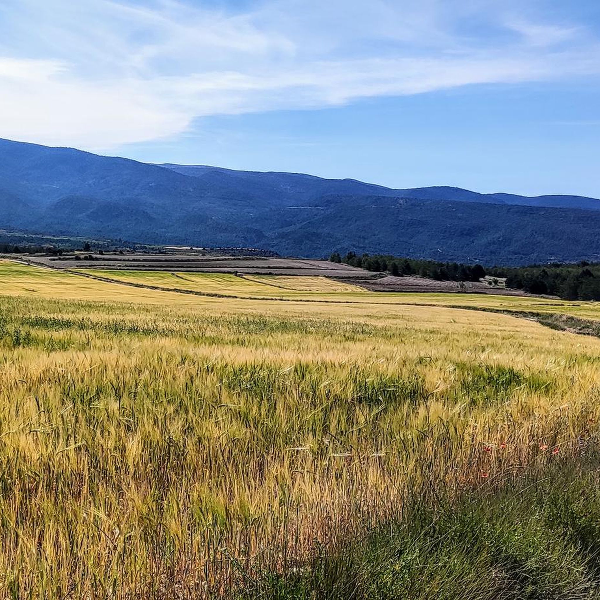
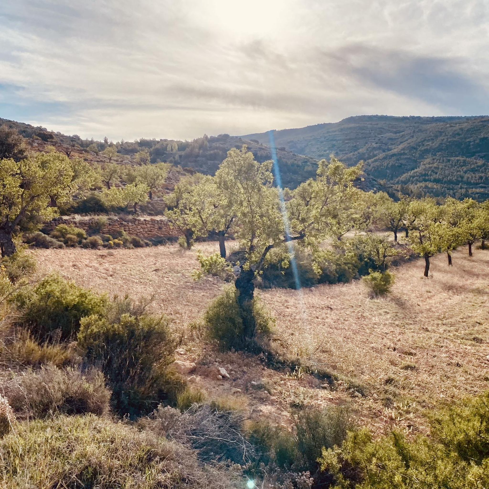
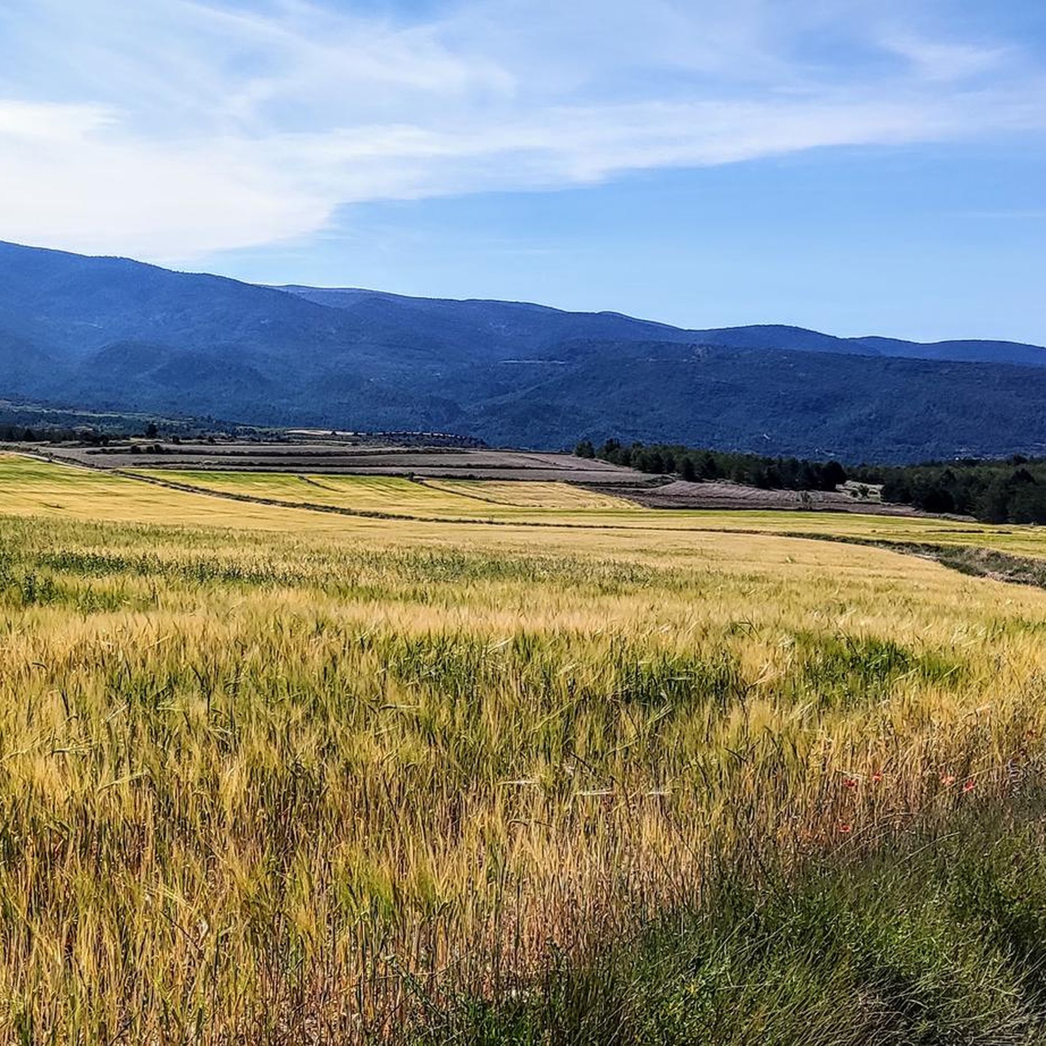
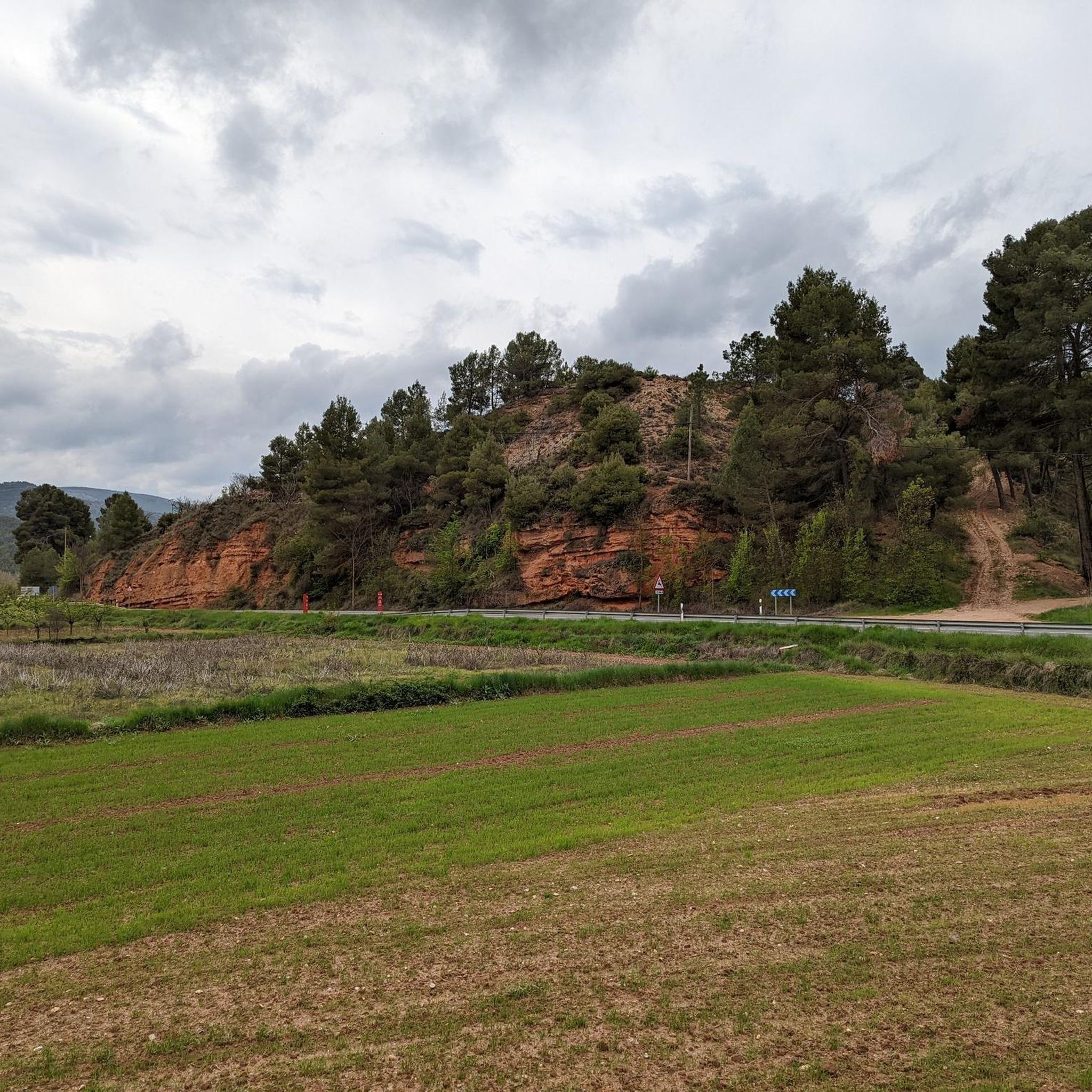
Hiking around Casas Altas offers diverse natural landscapes, characterized by limestone mountains and extensive pine forests. The region features significant water elements, including the Turia River and the Río Bohilgues, providing varied scenery for outdoor exploration. Trails often lead through mountainous areas, with opportunities for elevation gain and views. This varied topography makes Casas Altas a destination for different hiking preferences.
Best hiking trails around Casas Altas
- The most popular hiking route is Water Trail, an 8.9 miles (14.3…
Last updated: May 11, 2026
5.0
(1)
4
hikers
8.40km
02:45
390m
390m
Moderate hike. Good fitness required. Easily-accessible paths. Suitable for all skill levels.
5.0
(1)
6
hikers
14.3km
04:02
300m
300m
Hike the moderate 8.9-mile Sendero del Agua (PR-CU 11) from Santa Cruz de Moya, exploring water features and Turia River views.

Sign up for free
27.3km
07:57
700m
700m
Hike the difficult 17.0-mile Aldeas de Higueruela circular route from Santa Cruz de Moya, featuring pine forests and views.
5.0
(2)
22
hikers
12.4km
03:30
270m
270m
Moderate hike. Good fitness required. Easily-accessible paths. Suitable for all skill levels.
3.0
(1)
16
hikers
Hard hike. Very good fitness required. Easily-accessible paths. Suitable for all skill levels.
Get access to more routes and recommendations from other explorers.
Sign up for free
Already have an account?
Our route recommendations are based on thousands of hikes, rides, and runs completed by other people on komoot.
Start today with a free account
Your next adventure awaits.
Login or Signup
Tips from the Community

The El Vallecillo area in Santa Cruz de Moya, in the province of Cuenca, is an impressive natural place known for its scenic beauty and peaceful surroundings. This area is located in the Serranía Baja de Cuenca and is famous for its waterfalls, rivers and recreational areas.
2
0
Located at an altitude of 1,715 meters, this refuge is accessible from La Puebla de San Miguel or Camarena de la Sierra. The refuge is a simple stone hut with basic amenities such as a small fireplace and a nearby fountain called Fuente del Pozo. It is an ideal place for hikers looking to rest for the night while exploring the Sierra de Javalambre.🚴🚶♀️🚵🌄
3
0


a really gorgeous place - perfect for an overnight stay
2
0

Vallanca is a village that is located on the southern slope of a small mountain that reaches 970 meters of altitude. At its feet runs the Río Bohilgues, which originates in a nearby town, Vega, about 2 km south of the town.
0
0

Minimalistic shelter, enough to protect you from the weather. Keep in mind to bring enough water since there is no spring nearby.
2
0

The final section of the climb to Alto de las Barracas (1,838 m) is not cyclable but it is easy to climb pushing the bicycle. The trail markings pass through the vertex and continue in the direction of Pino Vicente. White and yellow signs are painted on the limestone rocks and there are also stone milestones marking the way.
0
0

From the El Vallecillo spot there are beautiful views when approaching the small town of Higueruela. Coming from Santa Cruz de Moya, the trail runs through a very picturesque area of the province of Cuenca, between limestone mountains, pine forests and some farms.
2
0
Frequently Asked Questions
How many hiking trails are available around Casas Altas?
There are over 15 hiking trails around Casas Altas, offering a variety of experiences. These include routes through diverse landscapes, from limestone mountains to pine forests and river valleys.
Are there easy hiking options suitable for beginners in Casas Altas?
Yes, Casas Altas offers several easy hiking routes. There are 6 trails specifically categorized as easy, perfect for those new to hiking or looking for a relaxed walk through the natural scenery.
Can I find trails with waterfalls or natural pools in the Casas Altas area?
Absolutely. The region is known for its water features. You can explore trails like the Waterfall – Natural Pool and Waterfall loop from Ademuz, which provides access to refreshing natural pools and waterfalls.
Are there any circular hiking routes around Casas Altas?
Yes, circular routes are available. For example, The Forest of Las Blancas — Circular from Puebla de San Miguel is a moderate 5.2-mile loop that takes you through a notable forest.
What kind of landscapes can I expect to see while hiking in Casas Altas?
Hiking in Casas Altas will immerse you in diverse landscapes. You'll encounter limestone mountains, extensive pine forests, and significant water elements like the Turia River and the Río Bohilgues. The varied topography provides rich backdrops for exploration.
What do other hikers enjoy most about the trails in Casas Altas?
The trails in Casas Altas are highly rated by the komoot community, with an average score of 4.1 stars. Hikers often praise the diverse natural landscapes, the presence of water features, and the variety of routes catering to different ability levels.
Are there any challenging hikes for experienced hikers in the region?
Yes, for experienced hikers, there are challenging options. The Higueruelas Trail is a difficult 16.9-mile route traversing scenic areas between limestone mountains and pine forests. Another demanding option is the Puebla de San Miguel Village – Las Blancas (Juniper Forest) loop from Puebla de San Miguel.
What are some notable attractions or landmarks I can see near the hiking trails?
The region offers several interesting attractions. You can explore the Old Town of Moya, enjoy the Views of the old town of Moya, or visit the charming Puebla de San Miguel Village. The settlement of Ademuz is also nearby.
Are there any trails that follow rivers or offer water views?
Many trails in Casas Altas feature water elements. The Water Trail is a prime example, exploring water features and providing views of the Turia River. The Río Bohilgues is another significant water feature in the area.
Is Casas Altas suitable for family-friendly hikes?
Yes, with 6 easy trails available, Casas Altas offers options suitable for families. These routes are generally shorter and less strenuous, allowing for an enjoyable outdoor experience for all ages amidst the natural beauty of the region.
What is the best season for hiking in Casas Altas?
The diverse terrain of Casas Altas makes it appealing across various seasons. Spring and autumn generally offer pleasant temperatures and vibrant scenery, ideal for exploring the limestone mountains, pine forests, and river valleys. Summer can be warm, making early morning or late afternoon hikes preferable, especially on trails with water features.
Most popular attractions around Casas Altas

Get inspired with the komoot mobile app


Explore more
Browse the best Hikes in other regions.
