The best walks and hikes around Arakaldo
4.6
(249)
1,863
hikers
104
hikes
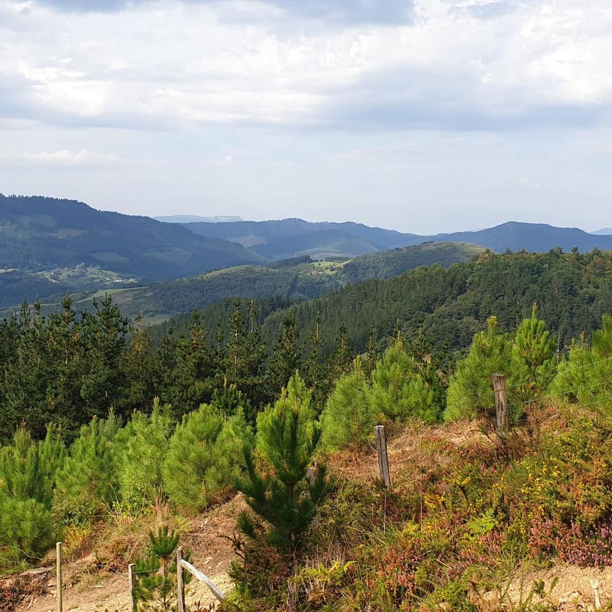
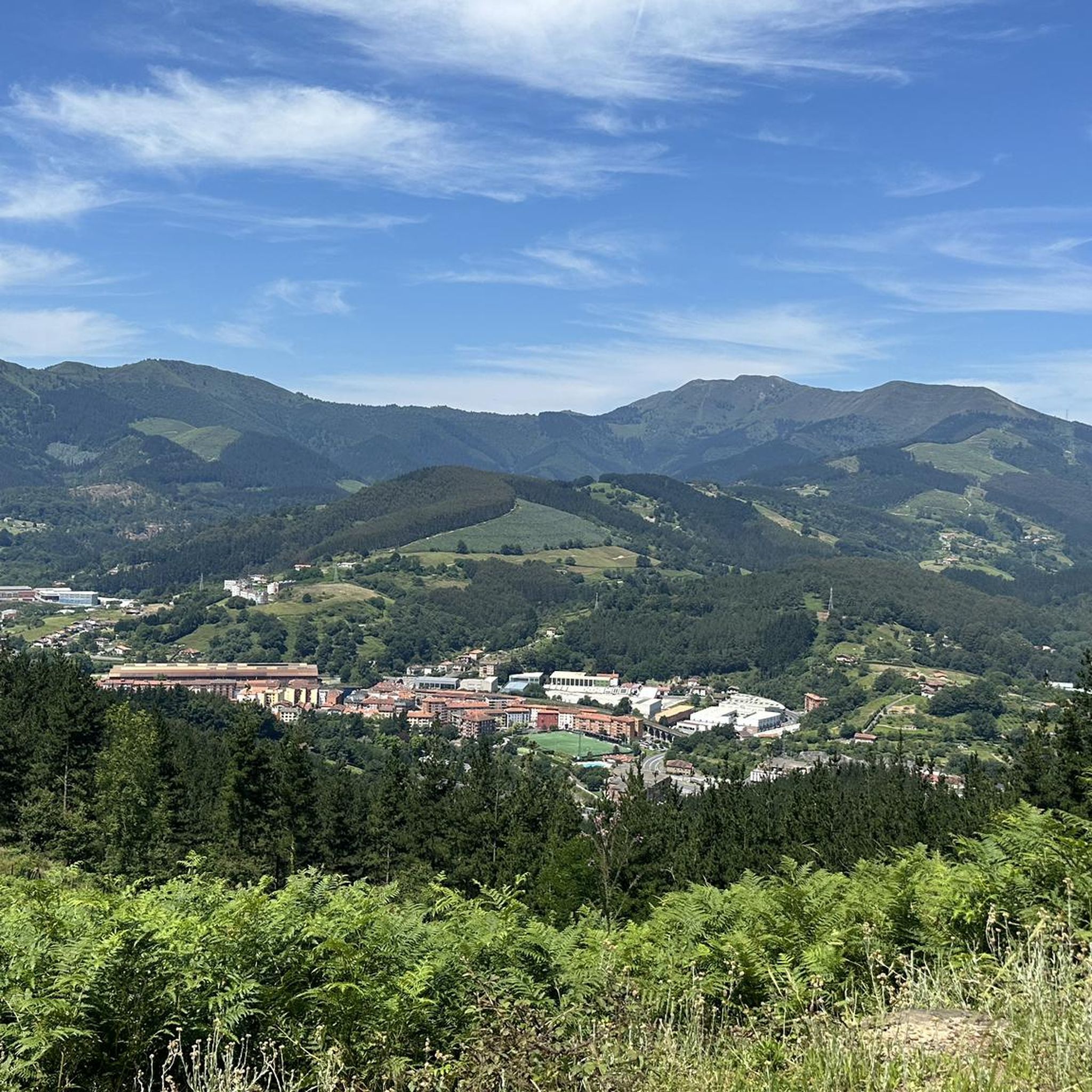
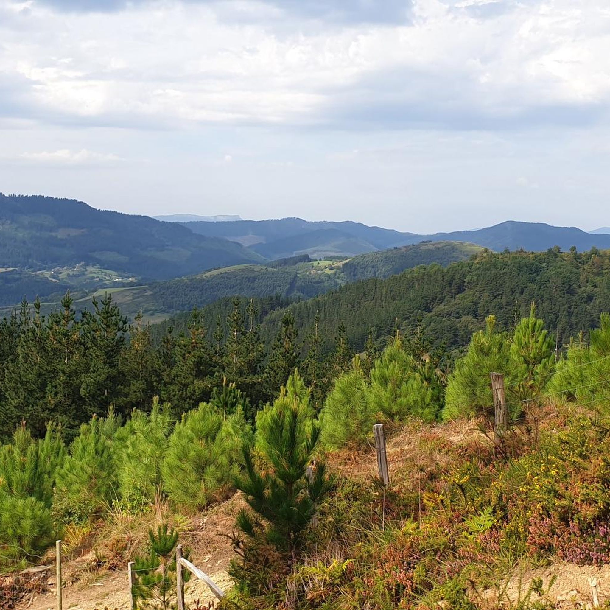
Hiking around Arakaldo offers a blend of natural beauty and tranquil routes in a rural setting. The region is characterized by verdant landscapes and mountainous terrain, with the River Nervión flowing along its eastern border. Untzueta Mountain, at 766 meters, is a prominent feature, providing varied hiking opportunities.
Best hiking trails around Arakaldo
- The most popular hiking route is Kamaraka and Iron Belt Loop via GR 123, a 8.1 miles (13.1 km) moderate trail that takes 4 hours 32…
Last updated: June 21, 2026
4.5
(8)
38
hikers
13.1km
04:32
660m
660m
Hike the moderate 8.1-mile Kamaraka por Santa Maria del Yermo circular trail, exploring historical Iron Belt fortifications and scenic viewp
4.6
(11)
36
hikers
13.4km
04:48
750m
750m
Moderate hike. Good fitness required. Mostly accessible paths. Sure-footedness required.

Sign up for free
4.2
(6)
32
hikers
9.01km
03:18
570m
570m
Moderate hike. Good fitness required. Easily-accessible paths. Suitable for all skill levels.
5.0
(2)
36
hikers
9.26km
03:19
540m
540m
Moderate hike. Good fitness required. Easily-accessible paths. Suitable for all skill levels.
3.7
(3)
36
hikers
10.7km
02:45
50m
50m
Moderate hike. Good fitness required. Easily-accessible paths. Suitable for all skill levels.
Get access to more routes and recommendations from other explorers.
Sign up for free
Already have an account?
Our route recommendations are based on thousands of hikes, rides, and runs completed by other people on komoot.
Start today with a free account
Your next adventure awaits.
Login or Signup
Tips from the Community

Beautiful summit. It's best to reach it the way I came down. The route I took up is quite poor, with lots of undergrowth, and the last stretch isn't suitable for people with vertigo.
0
0

As its name indicates, a source of ferruginous water, red in color.
3
0
In the remains of an ancient castle, and surrounded by some ugly antennas, is this beautiful 360-degree balcony. A delight for the views.
3
0
Small summit of Untzueta, in the middle of a delightful meadow.
3
0
Confluence of the 3 landmarks: Arakaldo, Arrankudiaga and Orozko.
3
0
Red Cross from which it is said that you can see (if there were no pine trees) the three hermitages of Santa Marina: Artxanda, Arakaldo and Orozko
3
0
Next to the summit, with a great view.
3
0
In the old fort from the Carlist war.
3
0
Frequently Asked Questions
What kind of hiking difficulty can I expect in Arakaldo?
Arakaldo offers a range of hiking difficulties, with the majority of its routes being moderate. There are over 75 moderate trails, providing a good balance of challenge and accessibility. For those seeking a less strenuous experience, there are also around 10 easy routes, while more experienced hikers can find about 23 difficult trails.
Are there any family-friendly hiking options in Arakaldo?
Arakaldo's tranquil, rural setting and varied terrain make it suitable for families. While specific 'family-friendly' routes aren't highlighted, the presence of easy and moderate trails means you can find paths appropriate for different ages and fitness levels. The natural surroundings and quiet atmosphere are ideal for a family outing.
Can I bring my dog on the hiking trails in Arakaldo?
Many of the trails in Arakaldo are suitable for dog walking, allowing you to enjoy the natural beauty with your canine companion. Given the rural character of the area, it's generally a welcoming place for dogs. However, always ensure your dog is under control, especially near livestock or in protected areas, and check local regulations for specific trails.
What are some notable natural features or landmarks to look out for while hiking?
The dominant natural feature is Untzueta Mountain, offering amazing views and quiet routes. Hikers reaching its summit are rewarded with spectacular vistas and the intriguing remains of a 12th-century castle. The region is also characterized by its position along the right bank of the River Nervión, adding to its picturesque natural setting. You can also explore nearby summits like Mount Pagasarri or Ganekogorta Summit.
Are there many circular hiking routes available in Arakaldo?
Yes, Arakaldo features several circular hiking routes, which are popular for their convenience. An example is the Untzueta – Untzueta Summit (770 m) loop from Arakaldo, which takes you through the slopes of Untzueta Mountain. These loops allow you to start and end your hike in the same location without retracing your steps.
What do other hikers enjoy most about hiking in Arakaldo?
The hiking experience in Arakaldo is highly rated by the komoot community, with an average score of 4.6 stars from over 200 reviews. Hikers often praise the region's blend of natural beauty, tranquil routes, and the serene atmosphere provided by its rural setting. The varied terrain and stunning views from peaks like Untzueta Mountain are frequently highlighted.
What is the best time of year to go hiking in Arakaldo?
Arakaldo's verdant landscapes are enjoyable throughout much of the year. Spring and autumn generally offer pleasant temperatures and vibrant scenery, making them ideal for hiking. Summer can also be a good time, especially for higher elevation trails, though it's wise to start early to avoid the midday heat. Winter hiking is possible, but conditions may vary, particularly on higher ground.
Are there any easy hiking trails suitable for beginners in Arakaldo?
Yes, Arakaldo offers approximately 10 easy hiking routes, perfect for beginners or those looking for a relaxed stroll. These trails allow you to enjoy the region's natural beauty without significant physical exertion. While specific easy routes are not detailed here, you can find them among the 108 total tours available.
Is public transport available to access hiking trails in Arakaldo?
Arakaldo is a small, rural municipality, and while public transport options might be limited directly to trailheads, it is situated on the border between Bizkaia and Alava, and on the right bank of the River Nervión. You may find public transport connections to nearby towns like Areta or Laudio, from which some trails, such as the Goikogane Summit – Kamaraka Summit (797 m) loop from Areta, can be accessed. It's advisable to check local bus or train schedules for the most up-to-date information.
Are there any specific trails that offer panoramic viewpoints?
Absolutely. The trails leading up to Untzueta Mountain, such as the Untzueta – Untzueta Summit (770 m) loop from Arakaldo, are known for rewarding hikers with spectacular vistas from the summit. The region's mountainous terrain generally provides numerous opportunities for panoramic views of the surrounding verdant landscapes and the River Nervión valley.
What is the longest moderate hike I can do in the Arakaldo area?
For a longer moderate hike, consider the Goikogane Summit – Kamaraka Summit (797 m) loop from Areta. This trail is approximately 8.3 miles (13.4 km) long and offers a more challenging trek to two summits, providing a rewarding experience for those looking for a longer day out.
Are there any trails that follow the River Nervión?
Arakaldo is located on the right bank of the River Nervión, and while specific trails directly along the river are not detailed, the municipality's position means that many routes will offer views or access to the river's picturesque natural setting. The rural neighborhoods often lead to areas where you can appreciate the river's presence.
Most popular attractions around Arakaldo

Get inspired with the komoot mobile app


Explore more
Browse the best Hikes in other regions.
