The best walks and hikes around Laudio / Llodio
4.5
(163)
1,068
hikers
34
hikes
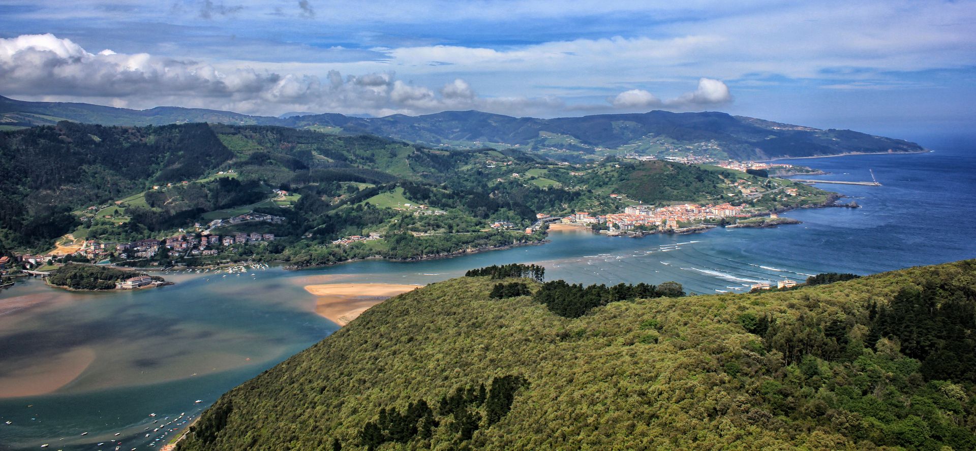
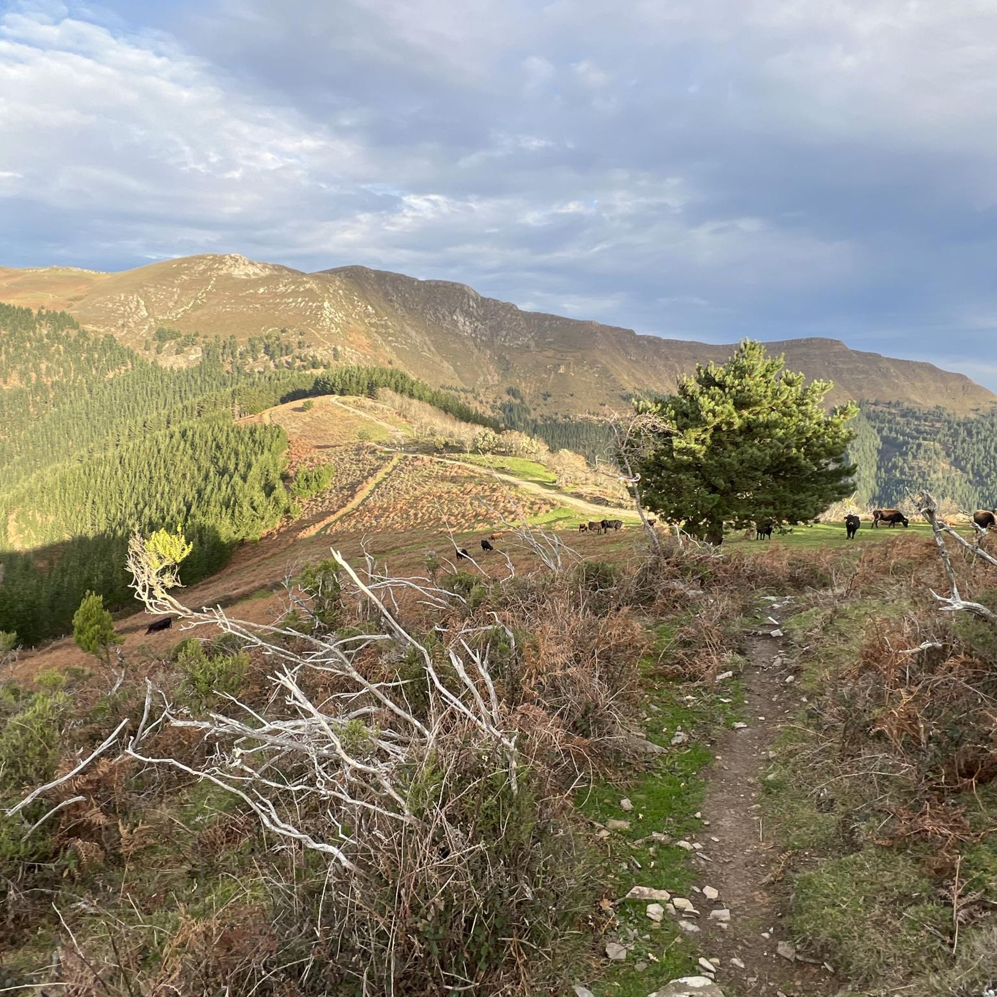
Hiking around Laudio / Llodio offers diverse natural landscapes within the picturesque Ayala Valley in Álava, Basque Country. The region is characterized by a mountainous environment, with significant peaks such as Kamaraka, Goikogane, and Ganekogorta. Green valleys, pine and beech forests, and the flowing Nervión River contribute to the varied terrain. This area provides numerous trails for outdoor enthusiasts.
Best hiking trails around Laudio / Llodio
- The most popular hiking route is Kamaraka and Iron Belt Loop via GR 123…
Last updated: July 7, 2026
4.4
(9)
38
hikers
13.1km
04:32
660m
660m
Moderate hike. Good fitness required. Mostly accessible paths. Sure-footedness required.
4.8
(5)
45
hikers
Moderate hike. Good fitness required. Mostly accessible paths. Sure-footedness required.

Sign up for free
4.6
(16)
39
hikers
13.4km
04:48
750m
750m
Moderate hike. Good fitness required. Mostly accessible paths. Sure-footedness required.
5.0
(2)
36
hikers
9.26km
03:19
540m
540m
Moderate hike. Good fitness required. Easily-accessible paths. Suitable for all skill levels.
4.7
(3)
21
hikers
Moderate hike. Good fitness required. Mostly accessible paths. Sure-footedness required.
Get access to more routes and recommendations from other explorers.
Sign up for free
Already have an account?
Our route recommendations are based on thousands of hikes, rides, and runs completed by other people on komoot.
Start today with a free account
Your next adventure awaits.
Login or Signup

Other adventures around Laudio / Llodio

Tips from the Community

summit near Bilbao of almost 1000 meters above sea level, views of the Villa and the sea in good weather
0
0

Summit of the Ganekogorta mountain range whose most popular and easiest ascent is from the hermitage of Santa Lucía del Yermo.
1
0

Very close to the much better known hermitage of Santa María del Yermo, but also beautiful.
0
0
Very close to the Kamaraka, it is worth reaching it.
0
0
Great views and easy access from the hermitage of Santa Lucía
0
0
Wonderful views, and very comfortable to go through the neighboring hills and mountains.
2
0
The Ganekogorta is one of the "vocineros" mountains of Bilbao. Well known and frequented by those of the "Botxo".
0
0
A small detour on the way to the Ganekogorta.
0
0
Frequently Asked Questions
How many hiking trails are available around Laudio / Llodio?
There are over 35 hiking routes in the Laudio / Llodio area, catering to various skill levels. This includes 4 easy routes, 25 moderate routes, and 6 difficult routes, ensuring options for everyone from beginners to experienced mountaineers.
Are there any easy or beginner-friendly hikes in Laudio / Llodio?
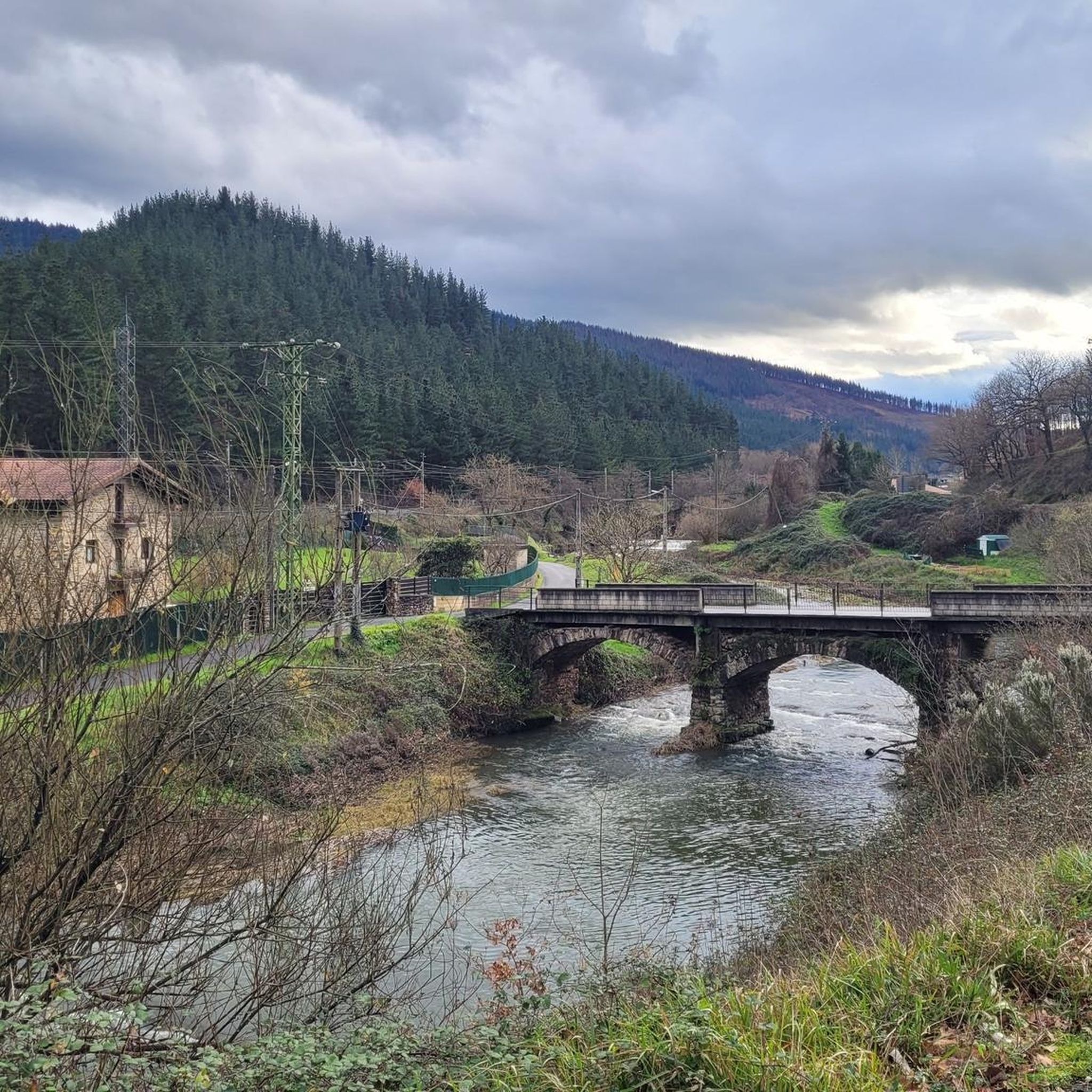
Yes, Laudio / Llodio offers several easy routes suitable for beginners or those looking for a relaxed walk. The region's diverse terrain includes gentler paths, such as those along the Nervión River, which are ideal for a leisurely outdoor experience. For example, the Otazu Bridge loop from Laudio is a moderate route with minimal elevation gain, making it accessible.
What kind of terrain can I expect on hikes in Laudio / Llodio?
The terrain around Laudio / Llodio is quite varied, characterized by a mountainous environment with significant peaks like Kamaraka, Goikogane, and Ganekogorta. You'll find green valleys, dense pine and beech forests, and paths along the Nervión River. Trails can range from well-maintained paths to more rugged ascents, offering a mix of surfaces from forest floors to rocky mountain trails.
Are there any circular hiking routes in the area?
Yes, Laudio / Llodio features several excellent circular routes. Popular options include the Kamaraka and Iron Belt Loop via GR 123, which explores both natural beauty and historical features. Another highly-rated circular option is the Ganekogorta Summit loop from Ermuko Andre Mariaren santutegia, offering expansive views from the summit.
Can I bring my dog on the hiking trails in Laudio / Llodio?
Many trails in the Laudio / Llodio region are dog-friendly, allowing you to enjoy the natural beauty with your canine companion. It's generally recommended to keep dogs on a leash, especially in areas with livestock or wildlife, and to always clean up after them. Specific rules may vary by trail, so always check local signage.
What natural features or landmarks can I see while hiking?
Hiking in Laudio / Llodio offers opportunities to discover various natural features and landmarks. You can explore significant mountains like Kamaraka, Goikogane, and Ganekogorta, or enjoy the scenic Ayala Valley and Nervión River. Nearby attractions include the Waterfall of Altube and the Waterfall of Gujuli or Goiuri. You can also find mountain passes such as Bikotx Gane Pass (565 m) and Puerto de Orduña (900 m), and even lakes like Maroño Reservoir.
Are there any family-friendly hiking options in Laudio / Llodio?
Absolutely. The region offers routes suitable for families, particularly the easier paths along the Nervión River or within the Green Belt (Anillo Verde) that encircles Llodio. These trails provide a pleasant experience with less challenging terrain, perfect for walks with children. Lamuza Park within the town also offers a natural green space for a relaxed stroll.
What do other hikers enjoy most about hiking in Laudio / Llodio?
The hiking routes in Laudio / Llodio are highly rated by the komoot community, with an average score of 4.4 stars from over 100 reviews. Hikers often praise the diverse natural landscapes, the well-maintained trails, and the variety of options available for different ability levels, from serene valley walks to challenging mountain ascents.
What is the best time of year to go hiking in Laudio / Llodio?
The Laudio / Llodio region is enjoyable for hiking throughout much of the year. Spring and autumn offer pleasant temperatures and vibrant scenery, with lush greenery in spring and colorful foliage in autumn. Summer is also suitable, especially for higher altitude trails, while winter can provide unique, quieter experiences, though some higher routes may require more preparation due to snow or ice.
Is parking available at the trailheads in Laudio / Llodio?
Parking availability varies by trailhead. Many popular starting points for hikes around Laudio / Llodio, especially those leading to significant peaks or natural attractions, typically have designated parking areas. For specific routes, it's advisable to check route details on komoot for information on parking facilities near the trailhead.
Are there any historical routes or points of interest?
Yes, the region offers routes with historical significance. The Kamaraka and Iron Belt Loop via GR 123 incorporates features of the historical 'Iron Belt,' allowing you to discover vestiges of the Spanish Civil War through remaining fortifications and trenches. The 'Ruta de los Contrabandistas' (Smugglers' Route) also offers a glimpse into the area's past.
Can I reach hiking trailheads using public transport?
Laudio / Llodio has public transport connections that can help you access various parts of the region. While some trailheads might be directly accessible by bus, others may require a short walk or a local taxi from public transport hubs. It's recommended to research specific routes and their proximity to bus stops or train stations for detailed planning.
Most popular routes around Laudio / Llodio
Most popular attractions around Laudio / Llodio

Get inspired with the komoot mobile app


Explore more
Browse the best Hikes in other regions.
