The best walks and hikes around Grijota
4.4
(84)
431
hikers
85
hikes
Hiking around Grijota offers routes primarily characterized by the historic Canal de Castilla and gentle, undulating terrain. The landscape features open fields, riverside paths, and the occasional low hill, such as Monte El Viejo, providing varied perspectives. These paths often follow waterways or traverse agricultural areas, with minimal elevation changes.
Best hiking trails around Grijota
- The most popular hiking route is Palencia Cultural Route, a 3.8 miles (6.1 km) trail that takes 1 hour 33 minutes to complete. This…
Last updated: May 21, 2026
4
hikers
6.08km
01:34
30m
30m
Easy hike. Great for any fitness level. Easily-accessible paths. Suitable for all skill levels.
5.0
(3)
3
hikers
13.7km
03:43
190m
190m
Moderate hike. Good fitness required. Easily-accessible paths. Suitable for all skill levels.

Sign up for free
4.0
(2)
15
hikers
Easy hike. Great for any fitness level. Easily-accessible paths. Suitable for all skill levels.
5.0
(5)
12
hikers
Easy hike. Great for any fitness level. Easily-accessible paths. Suitable for all skill levels.
12
hikers
10.4km
02:39
30m
30m
Moderate hike. Good fitness required. Easily-accessible paths. Suitable for all skill levels.
Get access to more routes and recommendations from other explorers.
Sign up for free
Already have an account?
Our route recommendations are based on thousands of hikes, rides, and runs completed by other people on komoot.
Start today with a free account
Your next adventure awaits.
Login or Signup


Tips from the Community


Nice route along the river bank is gravel
3
0

The Church of San Pablo in Palencia is an impressive example of late Gothic architecture, built between the 14th and 16th centuries. This church is part of the Convent of San Pablo, founded by Saint Dominic de Guzmán in the 13th century. The monumental complex includes a spectacular bell gable and a neoclassical façade with the image of Our Lady of Fatima. Inside, the main chapel and several altarpieces and tombs of great artistic value, the work of distinguished artists such as Felipe Vigarny and Francisco Giralte, stand out. The church was declared a National Monument in 1931. Located in a monumental area near the train and bus station, it is one of the most notable complexes in the city.
6
0
The Plaza Mayor of Palencia is an emblematic space and one of the nerve centers of the city. The square was created in the 17th century and has been the scene of various events throughout its history, including bullfights, markets and celebrations.
4
0
This romantic park occupies the site of a former convent and covers an area of more than 30,000 square meters. Its history dates back to 1830, when it was designed and began to take shape. Originally, this space was a walk and recreation area located on the outskirts of the city. However, over time, it has become the most popular and busy green corner of Palencia, next to the river bank.
3
0
This bridge crosses the Carrión River and is the third bridge built in the city, succeeding the Puentecillas and the Puente Mayor. Its construction was intended to provide better access to Dos Aguas Island and the orchards that traditionally existed in that area. Before this bridge, there was a wooden bridge in the same location, built in 1874, but it deteriorated quickly and had to be closed in 1882. The new iron bridge was conceived to replace it and was materialized thanks to the intermediation of the Palencia deputy Abilio Calderón, who at that time held the position of general director of public works in the government of Spain. In recognition of his contribution, the Palencia City Council officially named it the Abilio Calderón Bridge. Engineers Luis Morales and Eduardo Jungairiño carried out the project, and the foundry was carried out at the Nervión Shipyards in the Basque Country. Since its inauguration, the bridge has become a fundamental access from the capital of Palencia to Dos Aguas Island, the Río Carrión Hospital and the Villamuriel de Cerrato highway.
2
0

At one end of the square is the monument to the teacher, right in front of the old Normal School of Teaching.
2
0
The Abilio Calderón bridge, known as the Iron Bridge by the people of Palencia, has more than a century of history behind it. The Iron Bridge was inaugurated on March 27, 1911. It was built to facilitate the communication of the city with the agricultural area that was on the other bank of the river and with the neighboring town of Villamuriel de Cerrato. It replaced an old wooden bridge that dated from 1874.
3
0
Frequently Asked Questions
How many hiking trails are available around Grijota?
There are nearly 90 hiking routes around Grijota, offering a wide range of options for different skill levels. Over 50 of these are classified as easy, making the area very accessible for casual walkers and families.
Are there easy hiking options suitable for families in Grijota?
Yes, Grijota offers many easy routes perfect for families. The terrain is generally gentle, often following the historic Canal de Castilla or traversing open fields with minimal elevation changes. An excellent choice is the Canal Entrance to Palencia – Puente de Puentecillas loop from Palencia, which is 4.2 miles (6.7 km) and takes about 1 hour 41 minutes to complete.
What kind of terrain can I expect on hikes around Grijota?
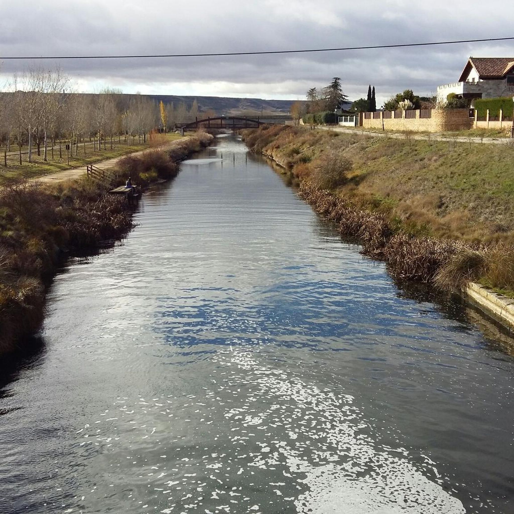
Hiking around Grijota is characterized by flat, open agricultural fields, picturesque riverside paths, and trails alongside the historic Canal de Castilla. While most routes have minimal elevation changes, you'll find occasional low hills, such as Monte El Viejo, offering varied perspectives.
Are there any circular walks in the Grijota area?
Yes, Grijota features several enjoyable circular walks. A notable moderate option is the Monte El Viejo and Canal de Castilla Loop, which is 8.5 miles (13.7 km) and combines a climb up Monte El Viejo with scenic canal-side sections.
What are some interesting landmarks or attractions to see near Grijota's hiking trails?
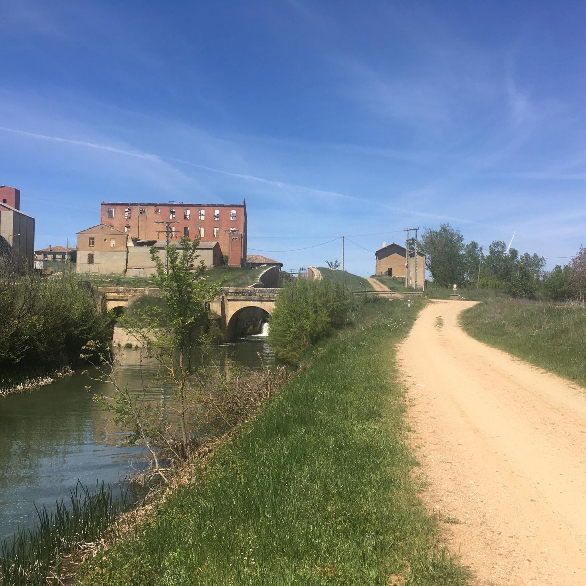
While hiking near Grijota, you can explore several historical and cultural points of interest. Consider visiting the Casa Grande de Palencia, the impressive Calahorra de Ribas Locks along the canal, or the bustling Plaza Mayor of Palencia. The Mercado de Abastos de Palencia is also a great spot to experience local life.
Are there any moderate difficulty hikes for more experienced walkers?
Yes, for those seeking a bit more challenge, Grijota offers moderate difficulty hikes. The Town Hall (offices) loop from Palencia is a good example, covering 6.4 miles (10.39 km) with some gentle ascents, providing a longer and more engaging experience.
What do other hikers enjoy most about the trails in Grijota?
The hiking trails in Grijota are highly rated by the komoot community, with an average score of 4.4 stars from over 80 reviews. Hikers often praise the peaceful canal-side paths, the expansive views across open fields, and the well-maintained routes that make for enjoyable and accessible outings.
Are there any short walks in Grijota with minimal elevation gain?
Absolutely. Many of Grijota's trails are characterized by their flat profile, especially those following the Canal de Castilla. The Puente de Puentecillas – Puente Mayor de Palencia loop from Palencia is an easy 3.6 miles (5.77 km) walk with very little elevation change, perfect for a relaxed stroll.
Is Grijota a good destination for winter hiking?
Grijota's generally flat terrain and well-defined paths along the Canal de Castilla and through open fields can be suitable for winter hiking, provided conditions are clear. Always check local weather forecasts for snow or ice, as paths may become slippery. The mild elevation changes mean less risk of challenging mountain conditions.
Are there options for public transport to reach trailheads around Grijota?
While many routes are accessible from Grijota itself, for trails starting further afield, public transport options to nearby Palencia are available. From Palencia, local bus services or short taxi rides can often connect you to various trailheads, especially those along the Canal de Castilla. It's advisable to check specific routes and schedules in advance.
Where can I find parking for hiking trails in Grijota?
Parking is generally available in and around the town of Grijota, particularly near the Canal de Castilla access points. For routes starting closer to Palencia, you'll find public parking facilities within the city, often a short walk from the trailheads. Always look for designated parking areas to ensure convenience and compliance with local regulations.
Most popular attractions around Grijota

Get inspired with the komoot mobile app


Explore more
Browse the best Hikes in other regions.
