The best walks and hikes around Guadalaviar
4.8
(31)
330
hikers
26
hikes
Hiking around Guadalaviar offers diverse and striking natural landscapes within the Sierra de Albarracín mountains. The region is characterized by the Guadalaviar River Canyon, which features dramatic rock formations and picturesque riverside scenery. Hikers can expect varied terrain, including open meadows, narrow canyons, and high moorlands, often navigating paths with unique geological features. This area provides a range of environments for outdoor exploration.
Best hiking trails around Guadalaviar
- The most popular hiking route is To Cerro Mogorrita from Puerto del…
Last updated: June 23, 2026
5.0
(1)
1
hikers
5.63km
01:49
240m
240m
Easy hike. Great for any fitness level. Easily-accessible paths. Suitable for all skill levels.
1
hikers
13.4km
03:35
150m
150m
Hike the 8.3-mile (13.4 km) moderate GR 10.1 section from Guadalaviar to Griegos, featuring the scenic River Guadalaviar canyon.

Sign up for free
1
hikers
10.5km
02:50
140m
130m
Moderate hike. Good fitness required. Easily-accessible paths. Suitable for all skill levels.
5.0
(3)
34
hikers
Easy hike. Great for any fitness level. Easily-accessible paths. Suitable for all skill levels.
5.0
(1)
15
hikers
10.3km
02:59
270m
270m
Moderate hike. Good fitness required. Easily-accessible paths. Suitable for all skill levels.
Get access to more routes and recommendations from other explorers.
Sign up for free
Already have an account?
Our route recommendations are based on thousands of hikes, rides, and runs completed by other people on komoot.
Start today with a free account
Your next adventure awaits.
Login or Signup

Tips from the Community

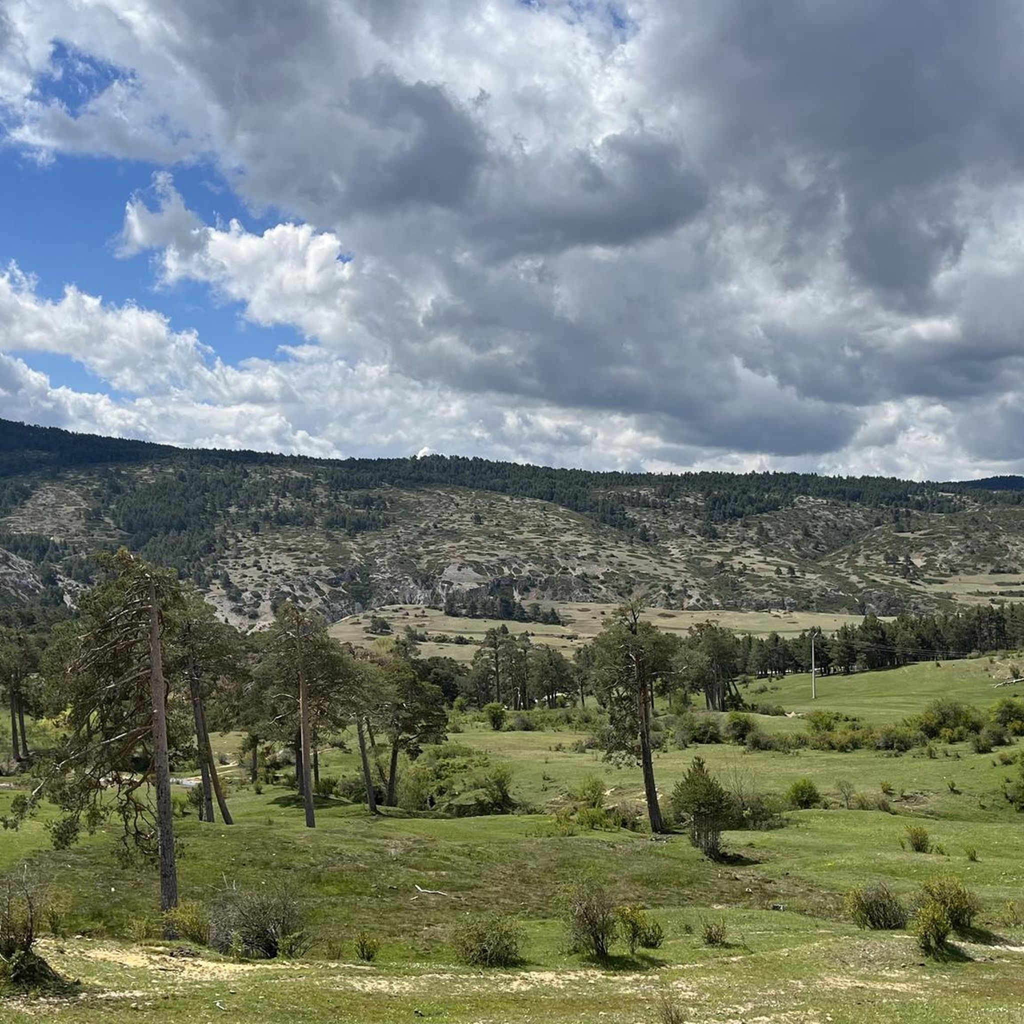
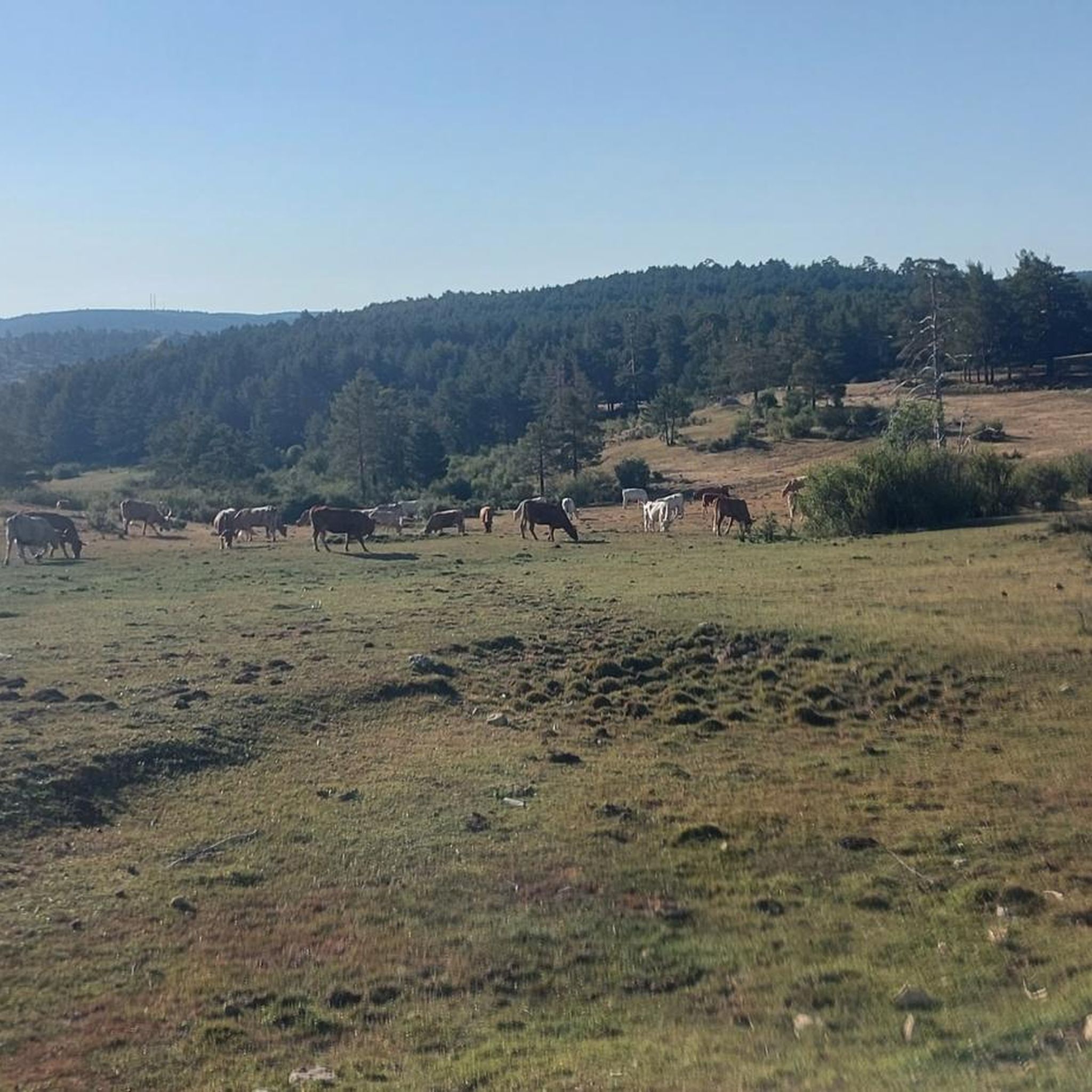
Puerto del Cubillo is located in the Serranía Alta de Cuenca mountain range, a mountainous region known for its natural beauty and hiking trails. One of the most notable routes is the one that leads to Pico Mogorrita, the highest point in the Serranía de Cuenca mountain range at 1,864 meters. This route begins at Puerto del Cubillo and offers stunning views and the chance to see local wildlife such as deer and roe deer.
29
0
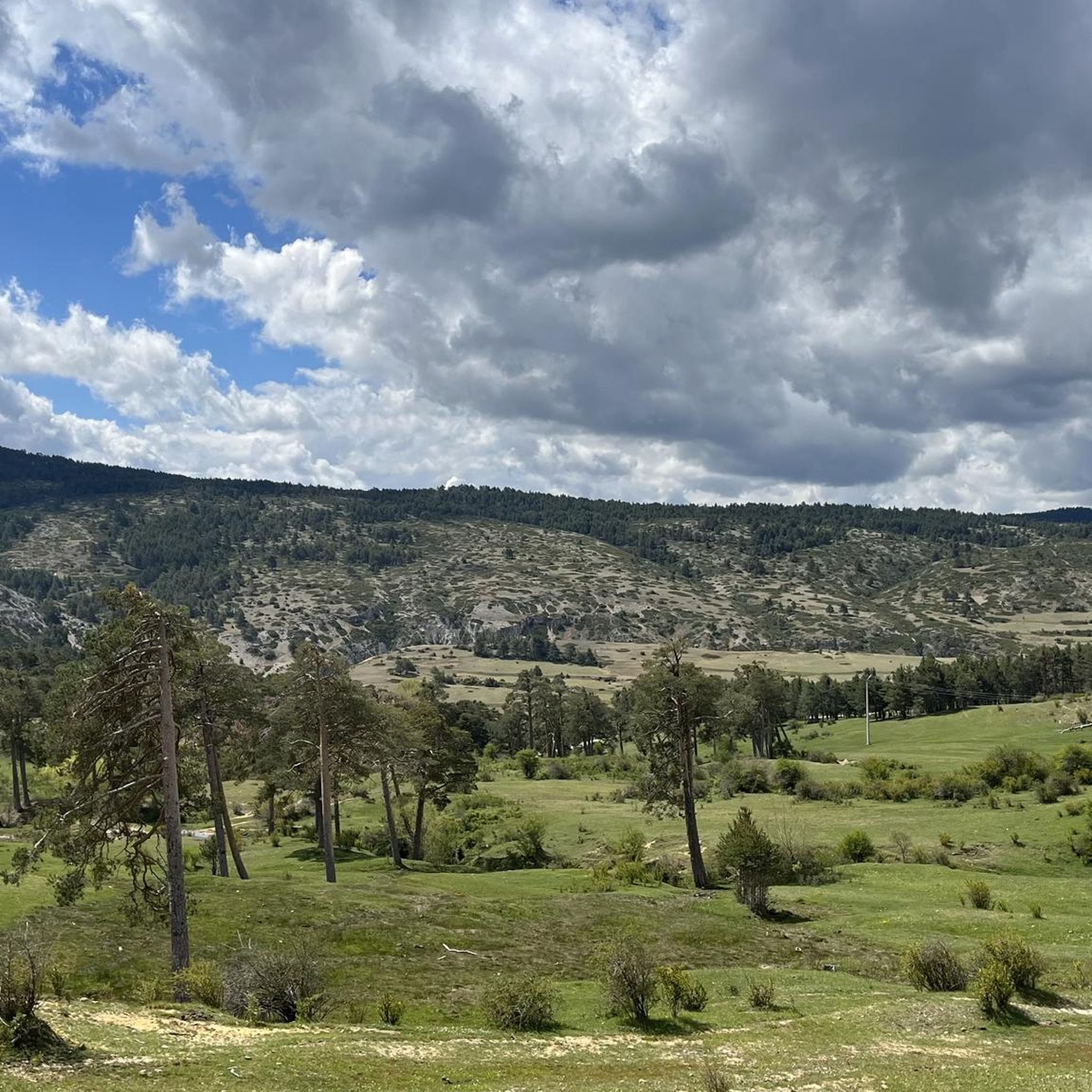
Griegos is a charming village located in the Albarracín mountain range. Griegos is also known for being one of the highest villages in Spain, at 1,601 meters above sea level. It's also a perfect place to enjoy outdoor activities such as horseback riding, hiking, and mountain biking.
25
0
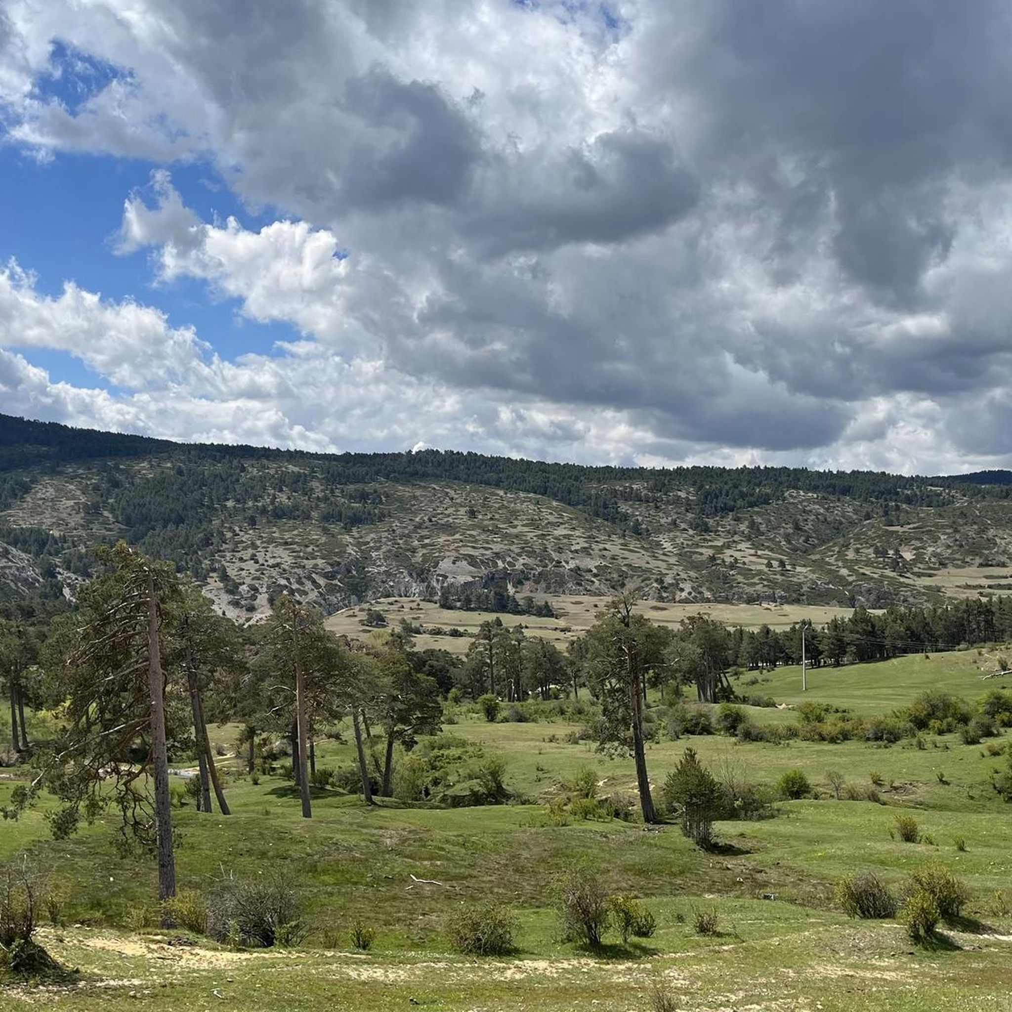
Griegos is a charming village located in the Serranía de Albarracín. Griegos is also known for being one of the highest villages in Spain, at 1601 meters above sea level. In addition, it is a perfect place to enjoy outdoor activities such as horse riding, hiking and mountain biking.😎🌄🚶♀️🚴🚵
12
0

More sources of the Júcar River.
1
0
In the Júcar River there are many births. These in the strait are perhaps the lowest.
0
0
Leisure and rest area with good water.
1
0
Youth camping place.
0
0

Top of Mogorrita hill. Very good views of the mountains and the Cubillo port.
1
0
Frequently Asked Questions
How many hiking trails are available in Guadalaviar?
There are over 20 hiking trails around Guadalaviar, offering a variety of experiences for different skill levels. You'll find options ranging from easy walks to more moderate treks.
What kind of terrain can I expect on hikes in Guadalaviar?
Hikers in Guadalaviar will encounter diverse terrain, including open meadows, narrow canyons, and high moorlands. The paths often feature unique geological formations and follow the picturesque Guadalaviar River, with sections that can be sunny or shady. You might also find wooden walkways built into the rock in some canyon areas.
Are there easy or family-friendly hiking options in Guadalaviar?
Yes, Guadalaviar offers several easy routes suitable for families and those seeking a relaxed walk. For example, the To Cerro Mogorrita from Puerto del Cubillo — Serranía de Cuenca trail is an easy 5.6 km route, and the San Blas Youth Hostel – Fuente de Blas loop from Albergue Juvenil de San Blas is another accessible option.
What natural features or points of interest can I see along the trails?
The Guadalaviar River Canyon is a central feature, showcasing dramatic rock formations and riverside scenery. You can discover unique geological wonders like collapsed stone blocks and the remains of old dams. Keep an eye out for waterfalls, such as the Cuervo River Waterfall and Molino Waterfall, and enjoy panoramic views from higher ground.
Are there any trails that feature gorges or canyons?
Absolutely. The Guadalaviar River carves through a spectacular canyon, and many trails follow its course. Notable spots include the Barranco Mingo Marco and the section known as the Entrance to the most spectacular area of the gorge, offering dramatic scenery.
What is the best time of year to go hiking in Guadalaviar?
The region offers pleasant hiking conditions for much of the year. Spring and autumn are particularly ideal, with mild temperatures and vibrant natural colors. The clear waters of the Guadalaviar River and the Arquillo reservoir also make it appealing in warmer months for relaxation.
What do other hikers enjoy most about hiking in Guadalaviar?
The area is highly rated by the komoot community, with an average score of 5.0 stars. Reviewers often praise the captivating riverine landscapes, the dramatic canyons carved by the Guadalaviar River, and the diverse terrain that offers options for various ability levels.
Are there any circular hiking routes in Guadalaviar?
Yes, there are circular routes available. An example is the San Blas Youth Hostel – Fuente de Blas loop from Albergue Juvenil de San Blas, which provides a convenient way to explore the local scenery and return to your starting point.
Can I bring my dog on the hiking trails in Guadalaviar?
Many trails in natural areas are generally dog-friendly, but it's always recommended to keep your dog on a leash, especially in areas with wildlife or near livestock. Be mindful of local regulations and ensure your dog is well-behaved and doesn't disturb the natural environment or other hikers.
Are there opportunities for birdwatching along the trails?
Yes, the Guadalaviar canyon is a significant attraction for birdwatchers. The lush riverside vegetation and dramatic cliffs provide habitat for various species. It's not uncommon to spot birds of prey such as golden eagles, Egyptian vultures, and bearded vultures, with opportunities to walk under griffon vulture colonies.
Is public transport available to reach trailheads in Guadalaviar?
While specific public transport options directly to all trailheads might be limited in this mountainous region, local bus services may connect to nearby towns. For detailed planning, it's advisable to check local transport schedules or consider personal vehicle access, as many trailheads are more easily reached by car.
Are there any challenging trails for experienced hikers?
While the guide lists mostly easy to moderate trails, the varied terrain and high moorlands suggest that more challenging sections or longer routes can be found. For instance, the San Felipe Hill – Puntal del Cerro San Felipe loop from Albergue Juvenil de San Blas is a moderate 11.5 km route with over 400 meters of elevation gain, offering a more strenuous option.
Most popular attractions around Guadalaviar

Get inspired with the komoot mobile app


Explore more
Browse the best Hikes in other regions.
